Greenland Off-Coast → Russia — Regional-Scale Square Boundary, Rapid Cloud Manipulation, and a Triangle Over Russia
- DATE13 MAY 2026
- LOCATIONOcean off the coast of Greenland
- THEMEThe Epicenter Expands — Massive Regional Square Spanning Greenland → Finland → Norway → Russia, Rapid Cloud / Thermal Manipulation Inside the Square, and a Large Triangle Over Russian Airspace
› SUMMARY: The Greenland off-coast Epicenter (7–8 transparent radiating lines from a single point) sits inside a much larger story. On the follow-up pass, a massive square outline spans the upper-northern region from Greenland across Finland and Norway all the way to Russia. Inside that square, cloud bodies move rapidly and evaporate / re-form in patterns that read like weather and thermal manipulation — and a large triangular formation is visible over Russian airspace, classification left open (camouflage, heat signature, or craft).
The Perceiver returned to the same Greenland off-coast coordinate where four pulsing dots were previously documented. Yesterday's read updated that signature as four shooting transparent lines. On this pass — a full 360° walk-around captured on video — the count is higher: seven or eight transparent line-tubes radiate outward in all directions from a single central origin point. The honest correction: it is not four lines, it is multi-directional and dense enough that a full circumferential rotation is required to count them. The Perceiver is naming this site The Epicenter — not as a claim that it is the epicenter of something specific, but as a working designation for the central origin point from which the lines emanate.
When the camera zooms back out from The Epicenter to satellite altitude, the perfect circular cloud-cleared zone above this coordinate — read in the previous capture as a heat signature shooting upward and condensing the cloud column — is bound by a square line. A discrete square / grid edge frames the blue circle, suggesting the heat-signature column is not arbitrary atmospheric chaos but is being held inside a defined boundary.
A third anomaly the Perceiver is flagging for independent review: bright pinpoint lights visible in the open water far below the satellite vantage. The capture altitude is high enough that vessel running-lights and standard maritime traffic should not register as discrete bright points at this resolution. The Perceiver does not conclude these are surface ships. The lights are entered as open intel — investigators with marine AIS data, surface-vessel transponder logs, or Coast-Guard hydrographic correlation for the documented Greenland off-coast window are invited to ground-truth.
On a follow-up satellite pass (second video below), the scope of the anomaly widens dramatically. A massive square outline is visible covering the entire upper-northern region — extending from the Greenland off-coast Epicenter eastward across the Atlantic, over Finland and Norway, all the way to Russia. Inside that square boundary, the cloud cover behaves abnormally: massive cloud bodies are moving rapidly, evaporating quickly, then re-forming and disappearing again. The pattern reads less like ordinary atmospheric flow and more like weather and thermal manipulation across a defined geographic block. The square boundary on the Epicenter heat-circle and the square boundary on this regional cloud field are the same geometric signature at two different scales.
Additionally, over Russian airspace inside the same square region, a large triangular formation is visible. The Perceiver does not make a determination on the nature of the triangle — it could be a camouflage signature (same class as the Epicenter heat-circle), it could be a heat / thermal signature without an object, or it could be a large triangular craft. The classification is left open. What is being documented is that an unusually large, distinctly triangular feature is present inside the same anomalous square zone that contains the rapid weather/thermal activity. This is precisely the kind of intel that warrants review by congressional UAP investigators, Department of Defense AARO analysts, and Secretary of State Rubio — invited as the responsible parties for evaluating whether this is benign atmospheric phenomenon, foreign-state activity, or non-human signature.
📣 OPEN INVITATION: The Perceiver invites visitors to this site to bring their own analysis. Independent meteorologists, satellite-imagery analysts, oceanographers, and citizen-investigators are welcome to navigate to the same Google Earth coordinates, run their own captures, and contribute their reading. If you see something the Perceiver missed — or if you can rule something out with conventional explanation — that is exactly the kind of co-investigation this briefing channel exists for.
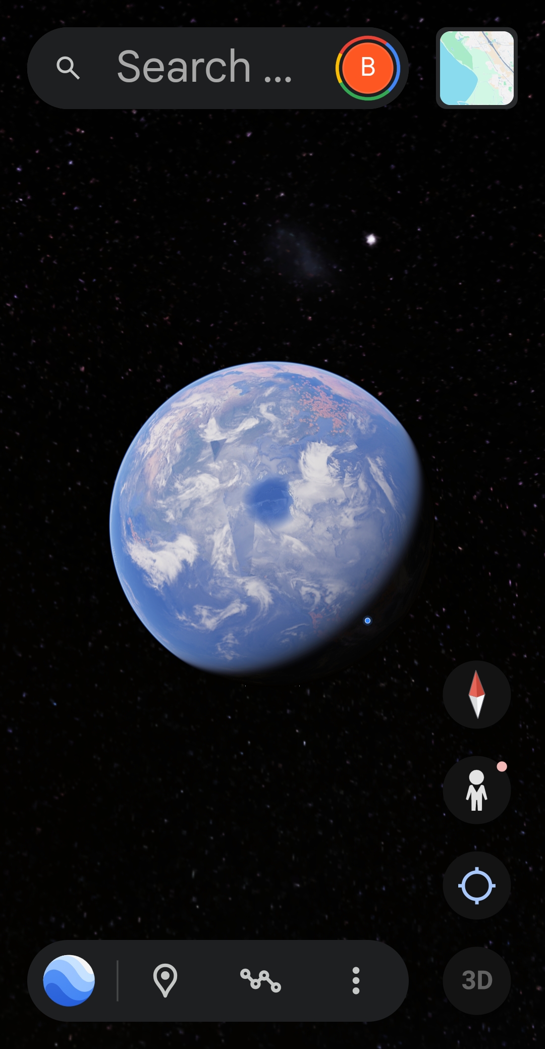
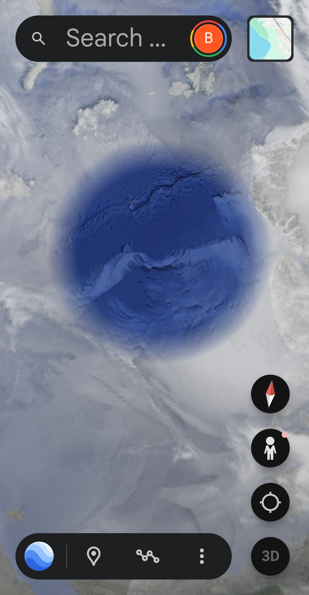

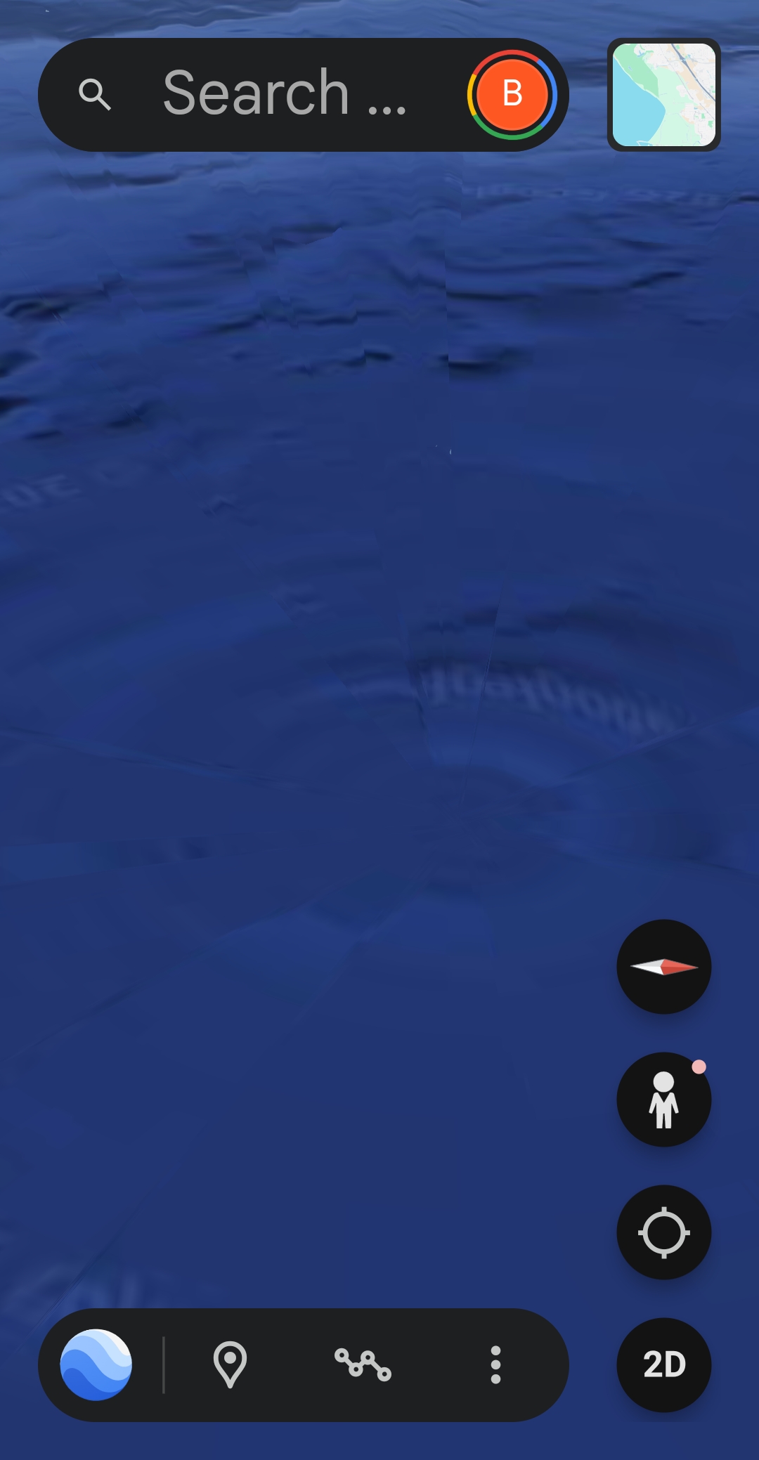
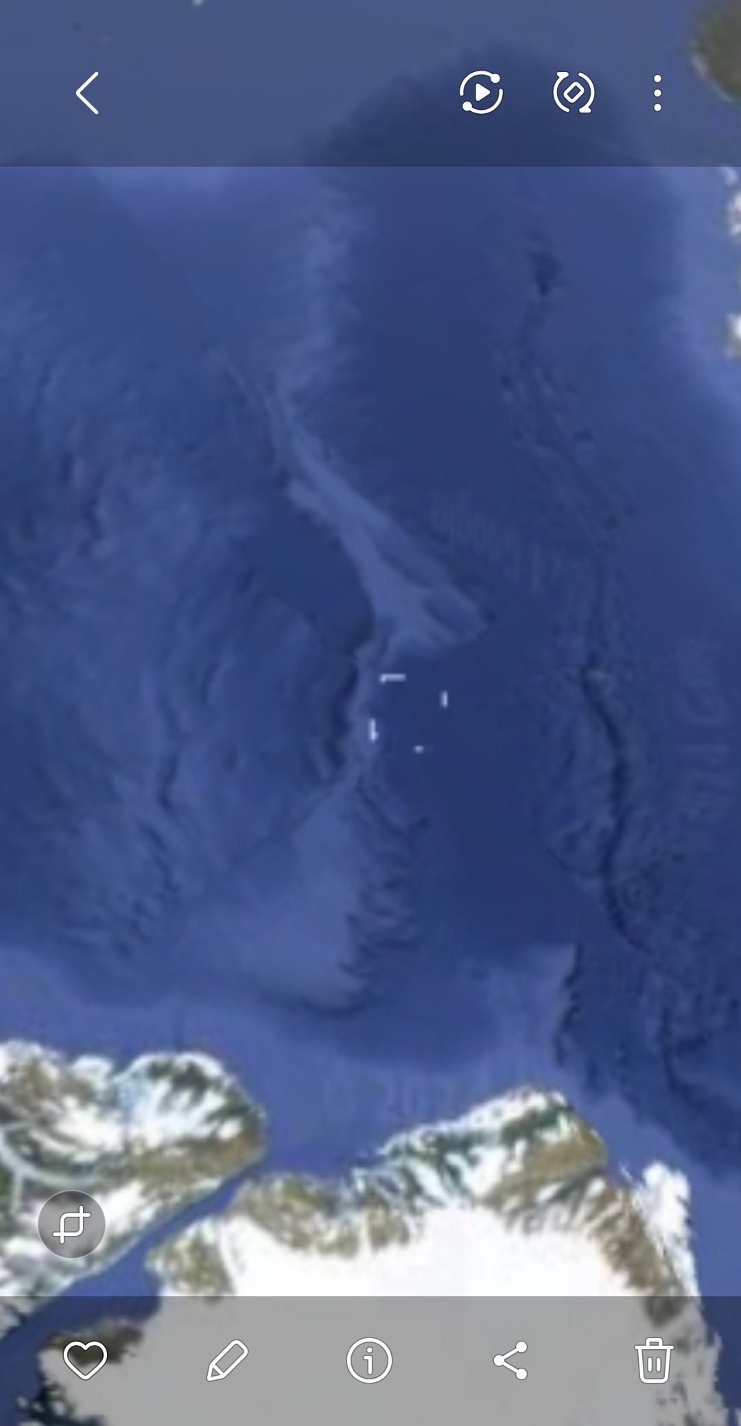
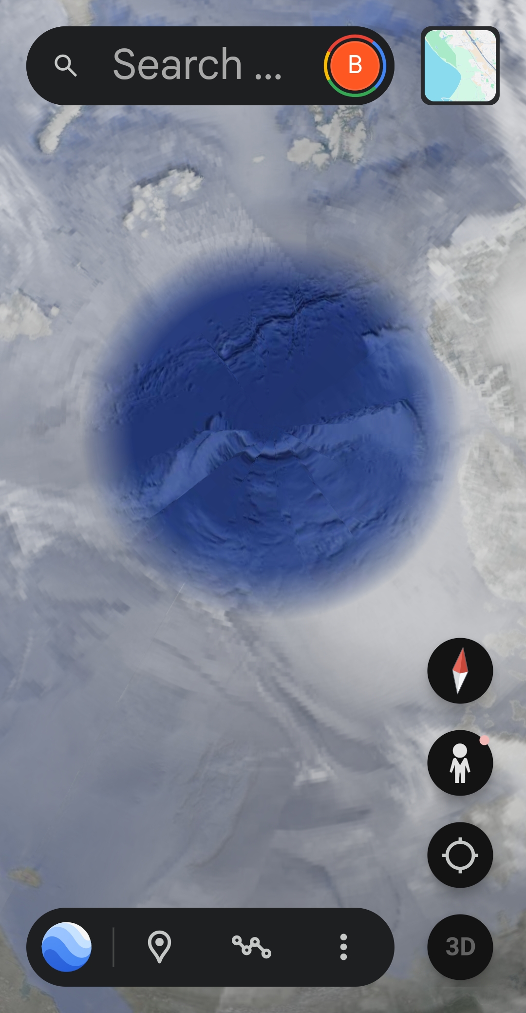

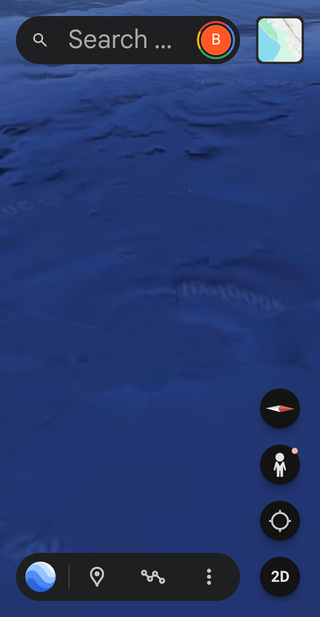
🎥 VIDEO 1 — EPICENTER — Greenland Off-Coast 360° Walkthrough (2:03) — Captured by the Perceiver. Watch the central origin point: 7–8 transparent line-tubes radiate outward as the camera rotates. The zoom-out reveals the heat-signature circle bound by a square grid edge.
🎥 VIDEO 2 — REGIONAL SQUARE + RAPID CLOUDS + RUSSIA TRIANGLE (1:48) — Greenland to Russia Satellite Pass — Captured by the Perceiver. Watch the massive square outline spanning from the Greenland coast across Finland, Norway, and into Russia. Inside the square: rapid cloud movement, clouds appearing and evaporating, and a large triangular formation over Russian airspace.