🌊 The Columbia River USO Corridor — Underwater Traffic
Highway 14 · Washington Side · Within the Same 50–90 Mile Zone as Mitchell Point, Underwood, Beacon Rock, Stevenson, and Ainsworth State Park.
📍 Connecting the Dots — The Corridor Is Not Just on the Land
The Perceiver has documented an east-west Pacific Pulse Corridor along the Columbia River Gorge with eleven anomalous signature nodes anchored at Mitchell Point (Oregon), Underwood Mountain (Washington), Beacon Rock (Washington), Stevenson (Washington), and Ainsworth State Park (Oregon). The thesis to this point has been treated primarily as a surface and aerial phenomenon. The captures collected on this page establish the next layer:
📡 NEW INTEL — THE CORRIDOR IS SUBMERGED. The same 50–90 mile operational zone is hosting documented underwater traffic directly below the surface and immediately adjacent to the land-based node sites. The activity is geographically co-located with Mitchell Point, Underwood, Beacon Rock, Stevenson, and Ainsworth. The dots connect. The aerial events, the rock-face signatures, and the underwater objects are all operating in the same envelope.
📡 OPERATIONAL DEFINITION — USO: An Unidentified Submerged Object is the underwater equivalent of a UAP. There are no human submarines in the Columbia River — the river is too shallow, too constrained, and outside any naval-operations envelope. The objects documented in this archive are not classified maritime craft, fishing vessels, debris, or natural wildlife. They are anomalous, submerged, and recurrent in a zone the Perceiver has independently mapped for decades.
🛸 1. The 2024 USO — Aerial Documentation off Highway 14
📸 WHAT THE CAMERA CAPTURED: A 2024 aerial-satellite sequence over the Washington-side bank of the Columbia River along Highway 14. The three-frame sequence proceeds from wide context, to mid-zoom shoreline, to the tight underwater capture. Frame #3 shows what reads as a distinct arrow-shaped luminous body beneath the dark surface of the river, with a leading bright tip and a tapered trailing wake.
👁️ WHAT THE PERCEIVER OBSERVED: Above the capture point on the mountainside there is a yellow / tan exposure that does not weather like surrounding terrain. The Perceiver has flagged this exposure for separate analysis as a land-side signature with its own classification — and it sits directly above the underwater capture below. A land-side anomaly above a submerged anomaly is the geometric pattern documented elsewhere along the corridor (Mitchell Point face above the river; Underwood crystal above the riverbed; Beacon Rock above the channel). The pattern is consistent. The yellow-exposure analysis will be published as a separate dossier when collection is complete.
⚠️ INTELLECTUAL HONESTY: Bright pinpoints and arrow-shaped reflections in dark river water can be caused by sun-glint, surface wake from passing recreational craft, fish schools, sensor compression artifacts in satellite imagery, or rendering anomalies in mapping platforms. Those are valid baseline hypotheses. The Perceiver invites independent satellite analysts and Pacific Northwest river-traffic AIS records to ground-truth the documented coordinate on the date of capture. The pattern this archive documents is the repetition of these signatures at the same coordinates the corridor independently maps.
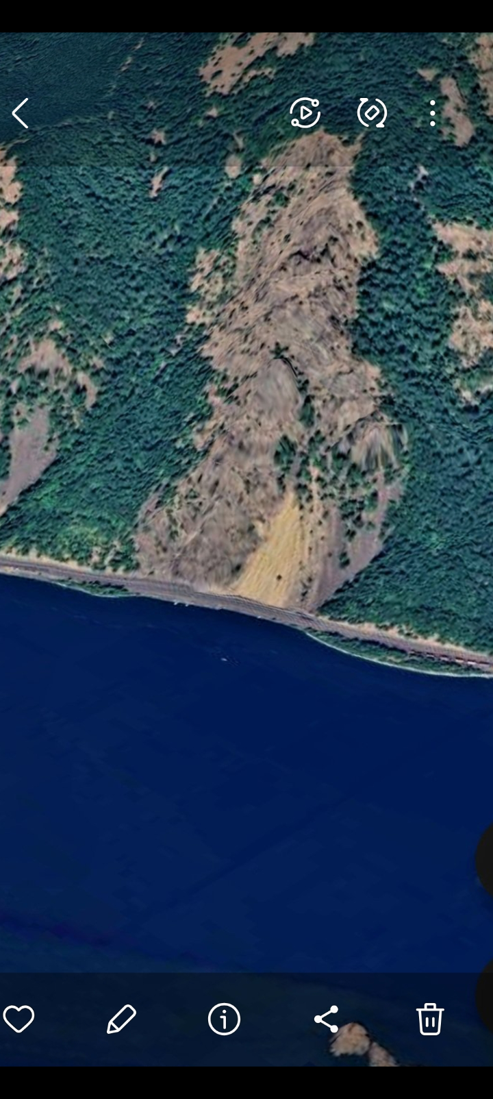
FRAME #1 — Wide Aerial Context. The yellow-exposure signature on the mountainside above Highway 14, directly over the underwater capture zone. (Land-side signature flagged for separate analysis.)
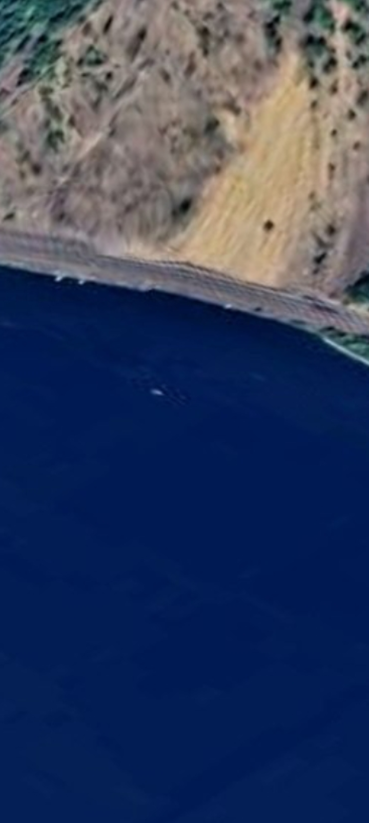
FRAME #2 — Mid-Zoom Shoreline. The transition from the yellow-exposure mountainside to the river surface, with wake disturbance visible offshore.
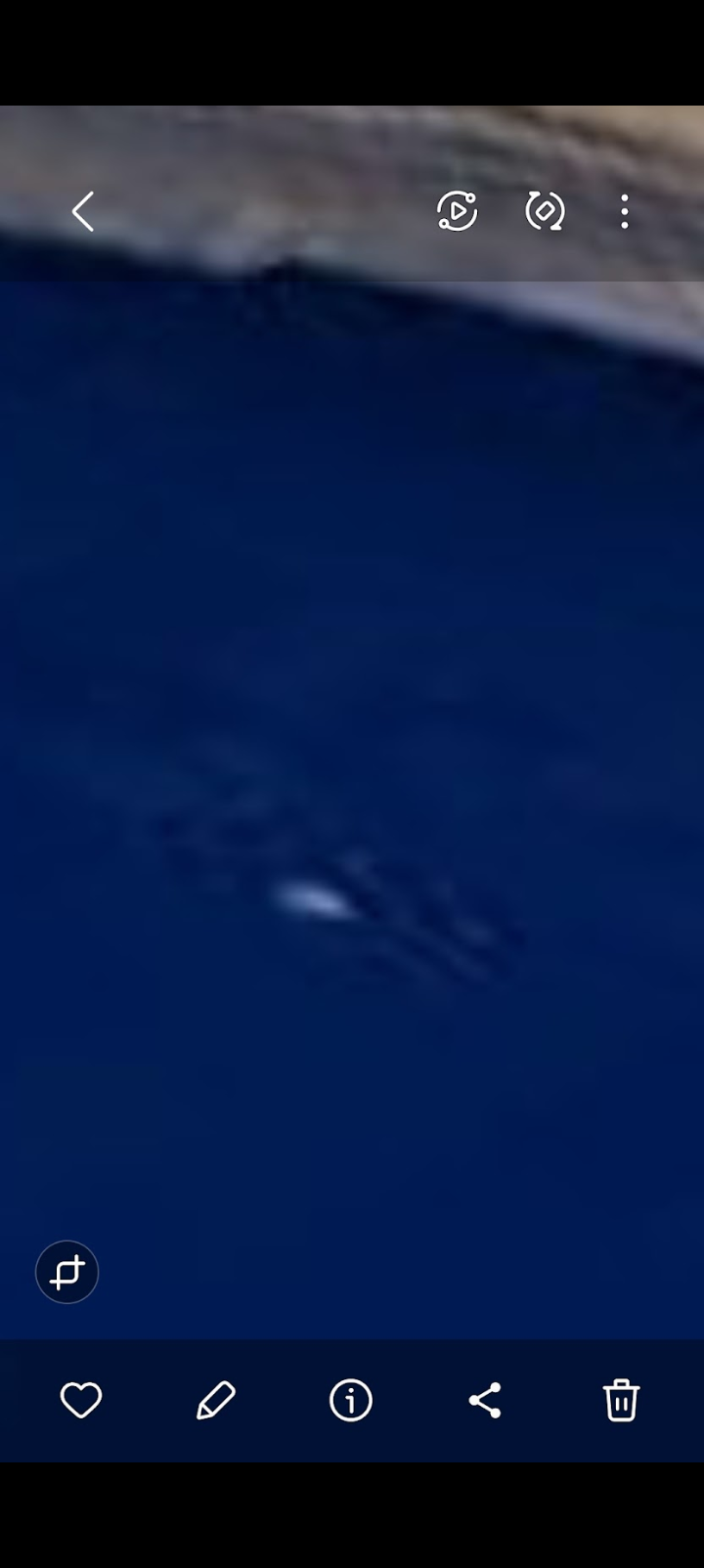
FRAME #3 — The USO Body. Arrow-shaped luminous object beneath the surface, with bright leading tip and tapered trailing wake. (2024 capture.)
📅 2. Historical Archive — 2005 Google Earth Capture
📸 WHAT THE CAMERA CAPTURED: An archived Google Earth ground-level view dated 8/1/2005, showing a low-altitude near-surface capture inside the Columbia River Gorge with a clear luminous-mass signature on / in the water against a tree-line backdrop. The date stamp is visible on the source.
👁️ WHAT THE PERCEIVER OBSERVED: The 2005 capture demonstrates that the underwater corridor traffic is not a recent phenomenon. The signatures the satellite revealed in 2024 are the latest in a documented sequence going back at least nineteen years on publicly accessible imagery. The corridor was operationally active well before the Perceiver began documenting it.
⚠️ INTELLECTUAL HONESTY: Older Google Earth captures, especially at ground level with compositing artifacts, can produce visual anomalies that do not reflect physical objects. The 2005 capture is presented as a temporal pattern indicator, not a forensic-grade still. Independent verification of the historical-imagery layer at this coordinate is invited.
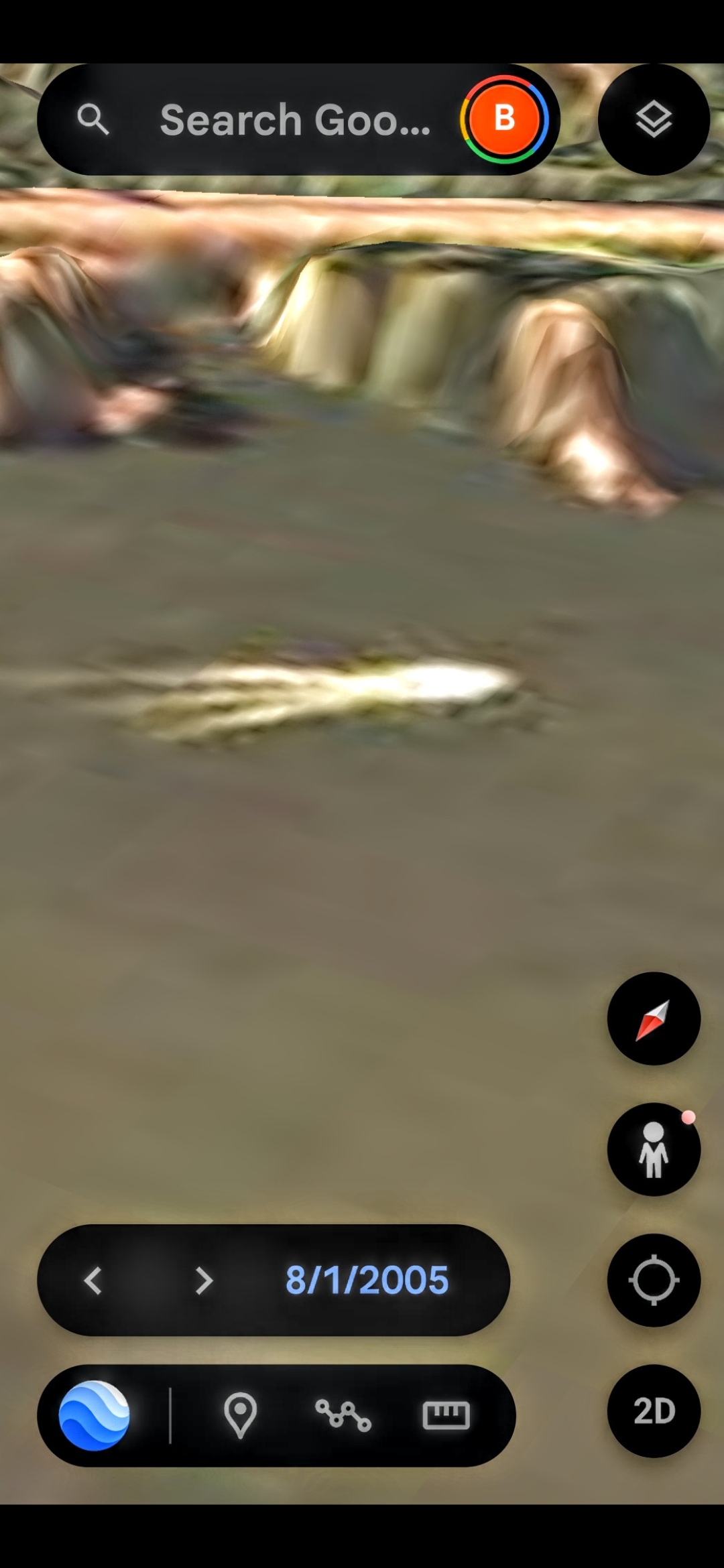
FRAME #4 — Historical Archive (8/1/2005). The signature was on the public record nineteen years before the 2024 capture.
💡 THE 2005 LUMINOUS SIGNATURE CLUSTER (8/1/2005): Three additional ground-level Google Earth captures pulled from the same 8/1/2005 historical-imagery layer, locating a discrete luminous signature on / in the Columbia River. The signature repeats across three distinct camera angles in the same archive date — top-down, lateral-glint, and wide-bridge-context — which argues against a single-frame artifact. The luminous body persists across all three vantage points and casts a consistent reflective glint. Per the Perceiver's on-the-record clarification: this is one of the countless moving strange-light signatures documented under the water along the Columbia River Gorge corridor — not a discrete kettle-form craft.
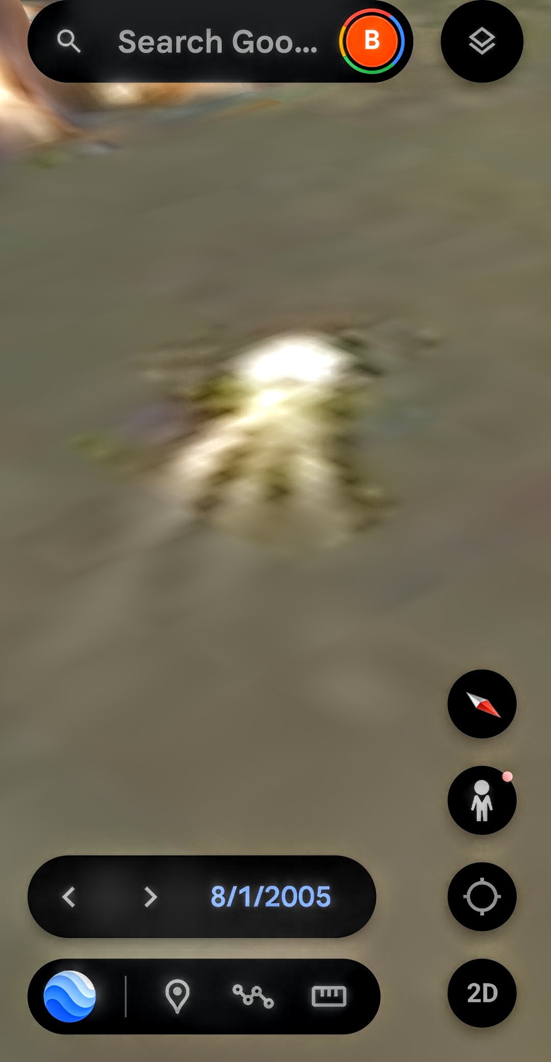
FRAME #4a — Top-Down Vantage (8/1/2005). Luminous signature with central reflective glint — one of the countless underwater strange-light signatures along the Gorge.
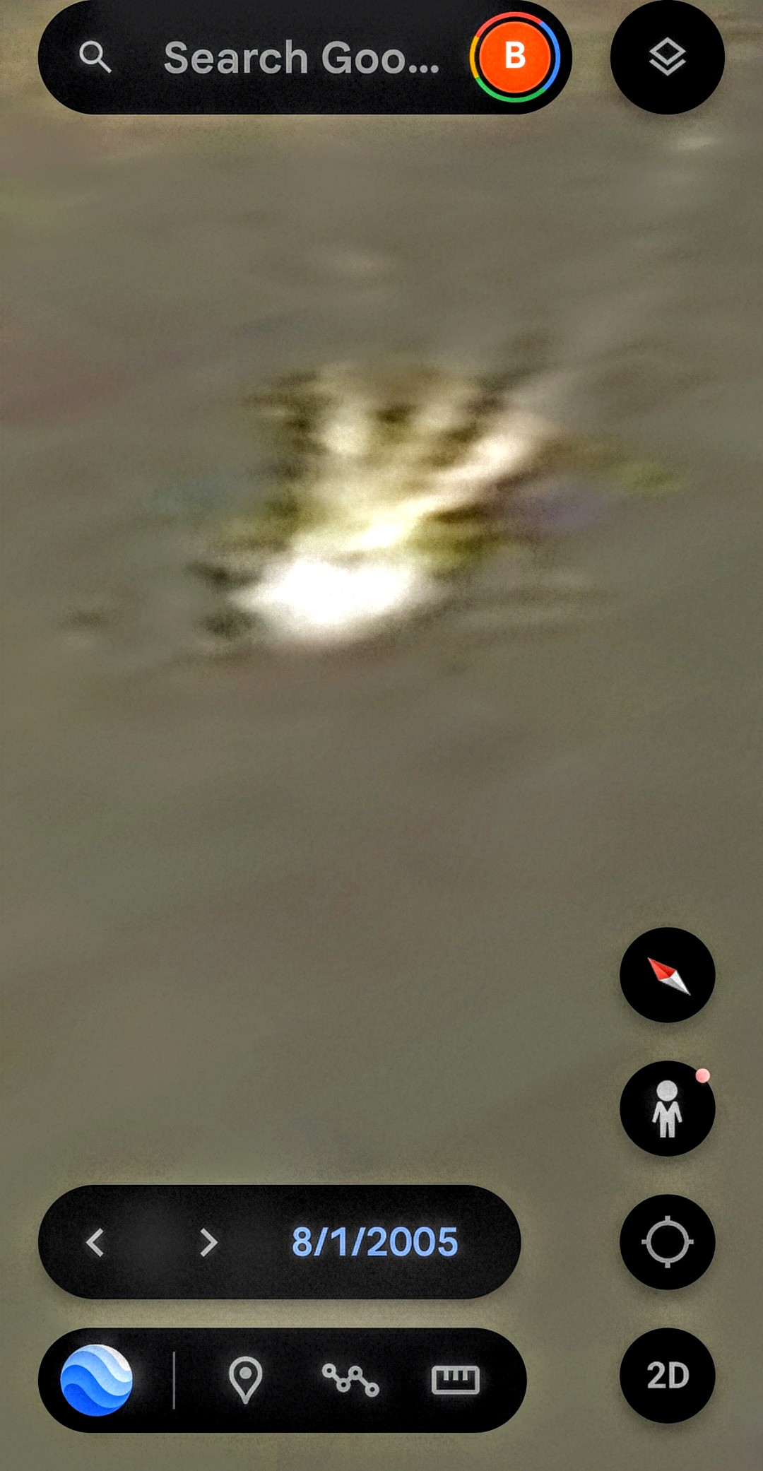
FRAME #4b — Lateral Glint & Trailing Signature (8/1/2005). Same body, rotated camera — glint and trailing pattern hold.
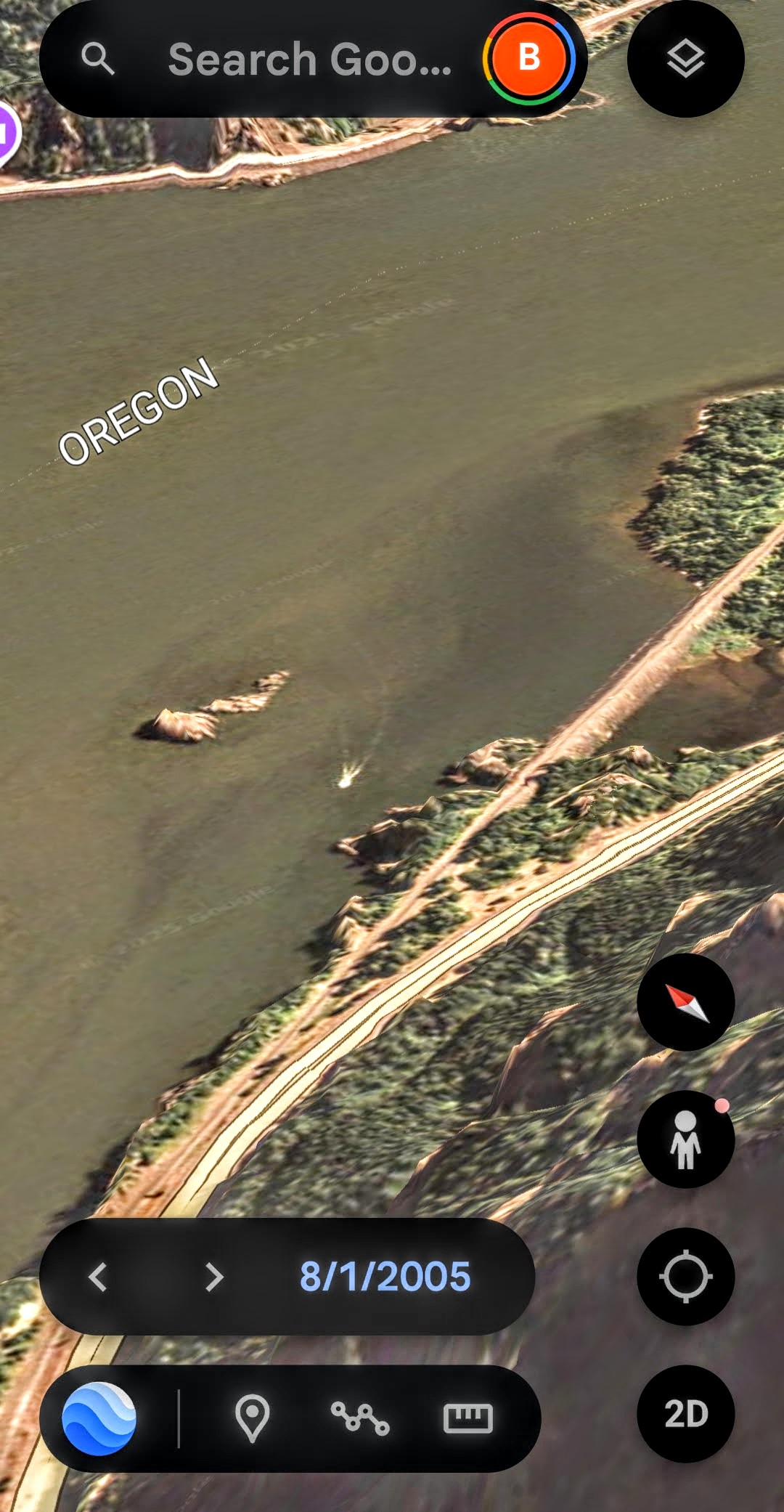
FRAME #4c — Wide Geographic Context (8/1/2005). Oregon label + bridge infrastructure give scale to the underwater luminous signature.
⚠️ INTELLECTUAL HONESTY: Multi-angle persistence inside a single historical date is a stronger pattern indicator than any one frame, but ground-level Google Earth composites can still generate correlated artifacts within a single capture run. These three frames are presented as a matched-vantage set for independent review of the 8/1/2005 historical-imagery layer at this coordinate.
🔵 3. Multi-Signature Array — Filtered Aerial View
📸 WHAT THE CAMERA CAPTURED: An aerial view of the Columbia River corridor processed through the Perceiver's deep-blue filter pass — the same investigative methodology used at Beacon Rock and Mitchell Point. The filter strips ambient daylight noise and surfaces luminous bodies beneath / on the water column. The result is a documented array of multiple distinct USO signatures at varying depths and positions across a single frame.
👁️ WHAT THE PERCEIVER OBSERVED: At least seven discrete luminous signatures resolve in this single filter pass. Two of them appear paired (the elongated stacked formation in the center-right of the frame). The pattern is not consistent with surface glint (which would scatter uniformly), with fish schools (which cluster, not distribute across a depth column), or with sensor noise (which would not produce paired geometric pairings). The reading is: this is operational traffic, not background.
⚠️ INTELLECTUAL HONESTY: Aggressive color-filter passes can introduce artifacts and amplify noise that would not appear in unprocessed imagery. The Perceiver acknowledges this on the record. The filter is offered as a visualization aid, not as raw evidence; the unfiltered original is held in the field archive and is available for independent forensic review on request via the Press Inquiry channel.
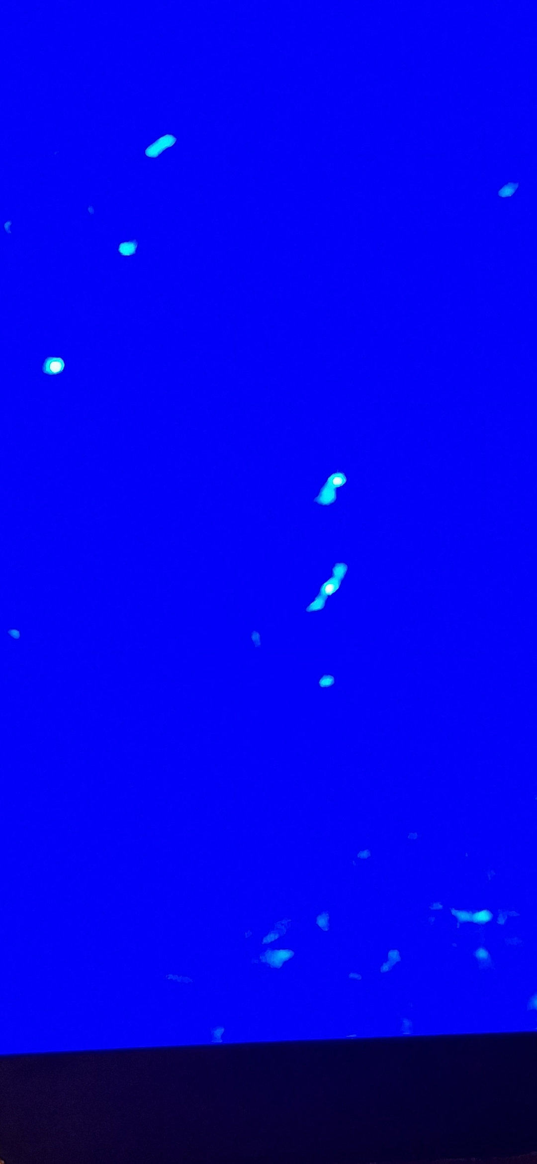
FRAME #5 — Multi-Signature Array, Deep-Blue Filter Pass. At least seven discrete luminous bodies resolve across a single frame. The center-right paired formation reads as a coordinated pair.
🟡 4. The Yellow Landslide Signature — Land-Side Counterpart
📸 WHAT THE PERCEIVER IS DOCUMENTING: The yellow / tan exposure on the mountainside above the 2024 USO capture is not consistent with ordinary erosion or seasonal weathering. It is a discrete, geometric, color-distinct land-side signature directly above the recurring underwater traffic zone. The Perceiver has flagged this signature for a dedicated analysis and intel drop.
👁️ FIELD COLLECTION STATUS: The full yellow-landslide dossier — including its unique alien-signature classification, comparison passes against terrestrial slide morphology, and the directional relationship to the underwater corridor below — will be published as a standalone dossier in a future update. This section is the dedicated placement for that intel.
📡 STRATEGIC READ: If the yellow exposure is operationally tied to the underwater traffic — a hypothesis the Perceiver intends to test in the dedicated dossier — then the corridor becomes a paired land-side + submerged-side operational system at this exact coordinate, mirroring the matched Mitchell Point / Underwood pyramid pair across the river upstream. The same architecture, in a new location.
📥 Yellow-landslide dossier pending field analysis — placeholder reserved.
📡 5. Strategic Summary — Why The Submerged Corridor Matters
The Pacific Pulse Corridor was previously treated as a land-and-sky transect. The captures consolidated on this page change the dimensional read on the record:
- The Columbia River — too shallow and too constrained for naval submarine activity — is hosting documented underwater traffic, recurrent across at least two decades of public satellite imagery (2005 archive → 2024 fresh capture).
- The underwater captures sit inside the same 50–90 mile envelope as Mitchell Point, Underwood Mountain, Beacon Rock, Stevenson, and Ainsworth State Park — the corridor's primary land-based node sites.
- At least one underwater capture is geographically co-located beneath a discrete land-side signature (the yellow exposure on Highway 14), mirroring the matched-pair geometry the Perceiver has documented elsewhere on the corridor.
- The corridor reads now as three-dimensional — atmospheric (UAP overhead), surface (rock-face geometries), and submerged (USO traffic) — all operating in the same envelope.
The Perceiver invites the U.S. Coast Guard, the Department of Defense AARO office, NOAA marine survey divisions, and the appropriate Senate / House oversight committees to consider what bathymetric survey, side-scan sonar, and chain-of-custody underwater photography of the documented coordinates would reveal. The corridor is no longer two-dimensional.
📡 Related Evidence Across the Archive
- Mitchell Point — The Alien Face — Land-side anchor diametrically opposed to Underwood, upstream of the documented USO zone.
- Beacon Rock — Origin of the Perceiver — Land-side anchor near the USO zone (Stevenson / Bonneville axis).
- Greenland — The Northern Anchor — Arctic terminus of the larger corridor; four pulsing dots over the open Greenland coast confirm the corridor extends to a saltwater environment as well.
- UAP Encounters Archive — Full UAP, reptilian, plasmoid, and Pacific Northwest field documentation including the broader USO category.
- Field Research — Underwood Mountain pulsing crystal beacon and methodology.
- 🎯 The 1-Mile Operational Cluster — Four anomaly classes documented inside a two-mile envelope around the Perceiver's childhood residence: pulsing diamond crystal, natural rock-bridge portal, the 2023 King's Rd aerial kettle-form sighting, and the underwater luminous-signature cluster archived on this page.
- Helium-3 Falsifiability Brief — The scientific test the Perceiver is asking federal labs to run on the corridor evidence.