🇲🇽 Mazatlán Bay — Isla Cardones USO Documentation
Mexican Pacific Corridor · Mazatlán, Sinaloa · The Same Operational Architecture Documented in the Columbia River Now Surfacing in Maussán Territory.
📍 The Bridge Play — Same Architecture, New Hemisphere
The Pacific Pulse Corridor has, until now, been documented at two anchors — Greenland (Arctic terminus) and the Columbia River Gorge (Pacific Northwest). The captures consolidated on this page establish a third anchor: Mazatlán Bay, Sinaloa, México — specifically at and around Isla Cardones, between Stone Island (Isla de la Piedra) and the open Pacific.
📡 THE STRATEGIC READ: The same submerged-traffic signature that resolves in the Columbia River — luminous arrow-bodies and paired formations beneath the surface — is now imaged in Mazatlán Bay. The hemispheres differ. The water bodies differ. The operational signature is the same. The Pacific Corridor extends from the Pacific Northwest down into the Mexican coast.
📡 PRESS-NEXUS NOTE: Mazatlán sits inside the investigative territory of Mexican journalist Jaime Maussán (Tercer Milenio). This is the geographic bridge the Perceiver's ongoing outreach to his editorial intake (mihistoria@tercermilenio.tv) has been pointing at — Mexican Pacific UAP / USO captures aligned with the Perceiver's Helium-3 falsifiability protocol.
📌 1. Location Confirmed — Isla Cardones, Mazatlán Bay
📸 WHAT THE CAMERA CAPTURED: Two Google Maps establishing shots locking the coordinate on the public record. Frame #1 is the master pin on Isla Cardones — a small landmass surrounded by dark Pacific water. Frame #2 is the wide regional context showing Stone Island (Isla de la Piedra), the Camino a Isla de la Piedra, Pesca Azteca (the major Mexican tuna-fleet operator), and Francisco I. Madero district of Mazatlán.
👁️ WHAT THE PERCEIVER OBSERVED: Isla Cardones is publicly listed and publicly geo-located. Anyone with Google Maps can stand on the coordinate in 30 seconds. The Perceiver makes no exclusive claim on the location — only on what surfaces in the water around it.
⚠️ INTELLECTUAL HONESTY: Establishing shots are non-evidentiary by themselves — they document the coordinate, not the phenomenon. The substantive captures are in Sections 2 and 3.
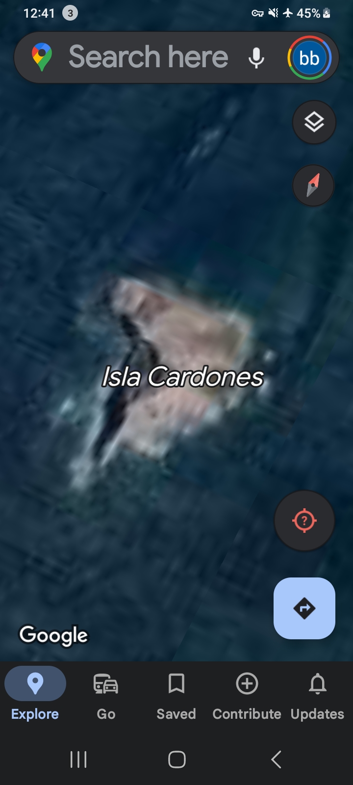
FRAME #1 — Master Location Pin. Isla Cardones, Mazatlán Bay (Google Maps, public coordinate).
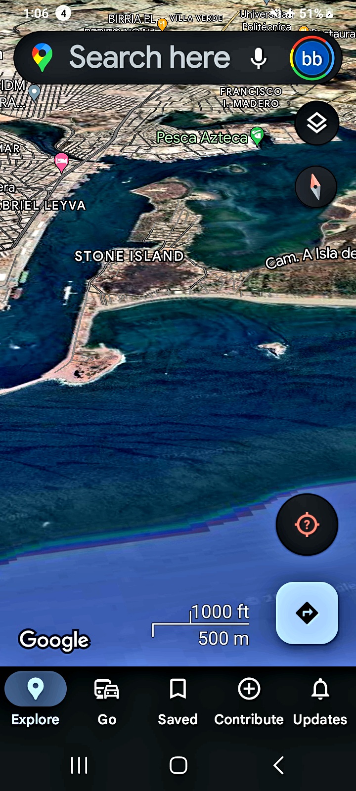
FRAME #2 — Regional Context. Mazatlán Bay wide aerial: Stone Island, Pesca Azteca, Francisco I. Madero district.
🌀 2. The Wake Field — Activity Around Isla Cardones
📸 WHAT THE CAMERA CAPTURED: A closer aerial pass on Isla Cardones, with Isla de la Piedra (Stone Island) labeled directly to the south. The water surrounding the island is not still — visible curvilinear wake patterns and current disturbances radiate around the landmass, especially on the west and south sides. The pattern is broader than ordinary tidal current and is not consistent with surface vessel traffic at the time of the satellite pass.
👁️ WHAT THE PERCEIVER OBSERVED: The wake field is the macro-signature of sustained submerged activity below the island. Where there is wake, there is motion. Where there is motion at this scale, with no surface vessel present, the read is: something is operating beneath the surface in a recurring pattern.
⚠️ INTELLECTUAL HONESTY: Tropical bay environments around small islands experience natural eddy patterns, tidal-current shear, sediment plumes, and seabed-shadowing effects in shallow water. All are valid baseline hypotheses. The Perceiver invites independent oceanographers and marine survey teams to evaluate the wake field against a tide-time-locked reference dataset.
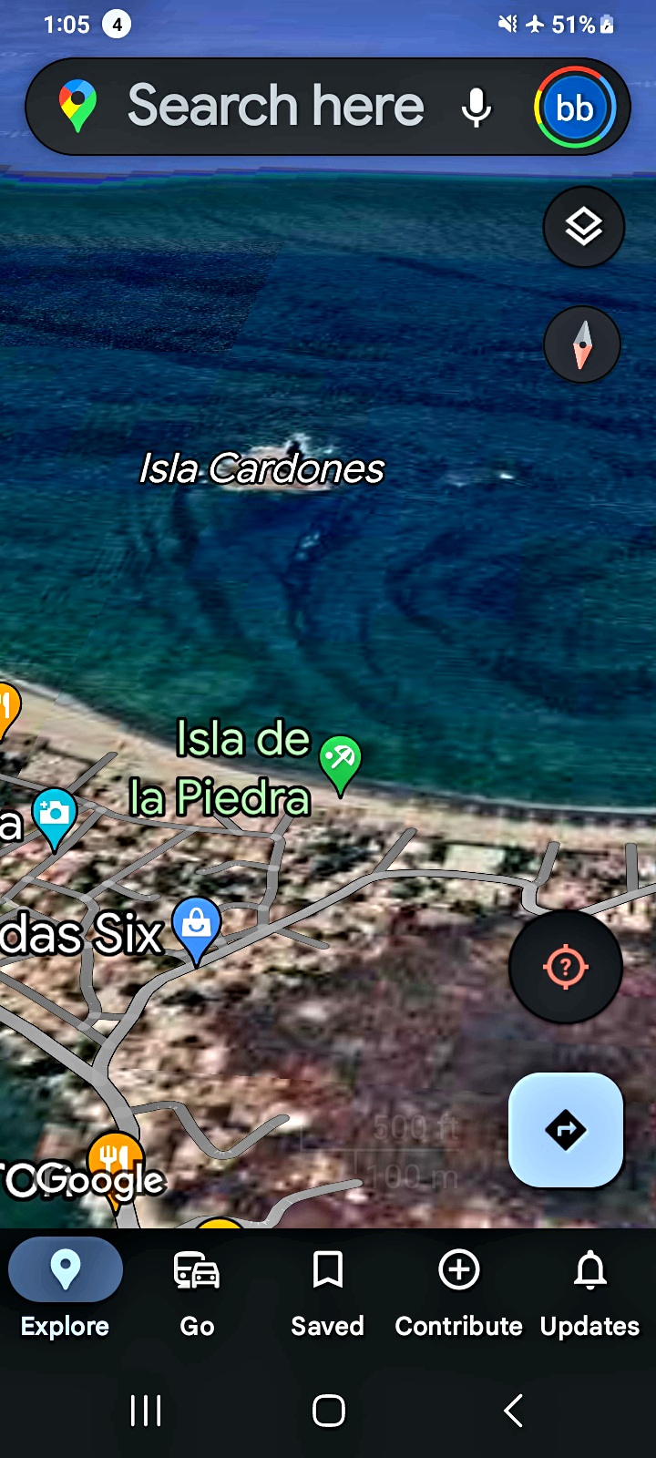
FRAME #3 — The Wake Field. Curvilinear current disturbance radiating around Isla Cardones — visible from satellite altitude.
🛸 3. The USO Bodies — Submerged Luminous Signatures
📸 WHAT THE CAMERA CAPTURED: Two tight-zoom captures into the water around Isla Cardones. Both frames resolve luminous, structured bodies beneath the surface — bright reflective masses with discrete edges, oriented horizontally, suspended at varying depths in the water column. They are not consistent with surface foam, sunlight scatter, or schooling fish.
👁️ WHAT THE PERCEIVER OBSERVED: The same luminous-arrow / luminous-mass signature documented in the Columbia River USO archive resolves here in Mazatlán Bay — same morphology, different ocean. Frame #4 shows a single dominant body with a brighter forward edge and trailing structure. Frame #5 shows the same general signature, slightly displaced, suggesting either a second pass at the same coordinate or a second body operating in proximity.
⚠️ INTELLECTUAL HONESTY: Bright reflective masses in shallow tropical bay water can correspond to surface sun-glint on chop, white-water from boat wakes, marine debris, the dorsal surface of large rays or whale-sharks, or composite-rendering artifacts in Google Earth's 3D water mesh. All are valid baseline hypotheses. The Perceiver presents the captures because the morphological match to the Columbia River signatures is the diagnostic — and that cross-corridor consistency is the falsifiable claim. Independent marine-imagery analysts are invited to examine the unprocessed Google Earth tiles at the documented coordinate.
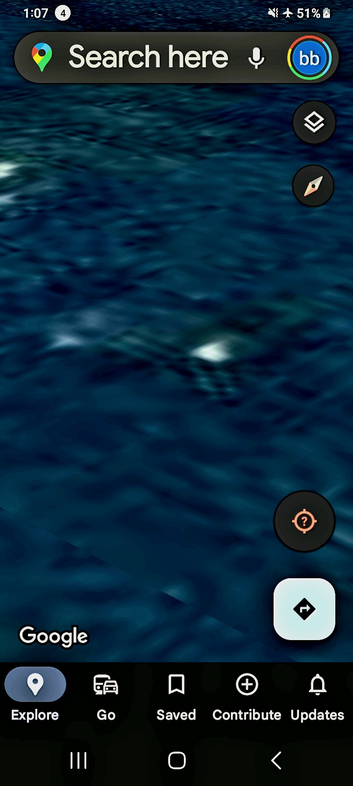
FRAME #4 — USO Body, Primary Capture. Submerged luminous body with bright forward edge. Mazatlán Bay near Isla Cardones.
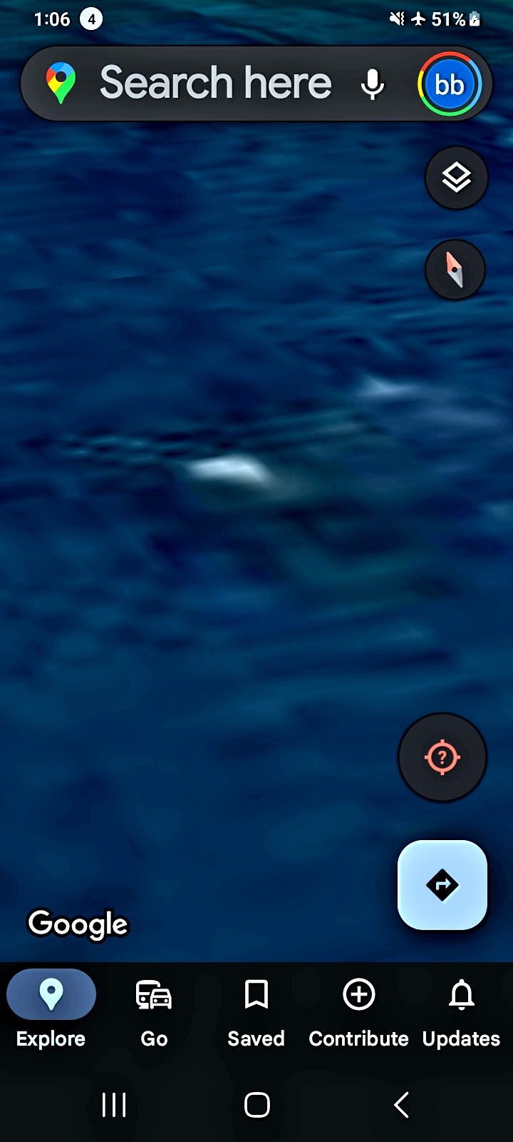
FRAME #5 — USO Body, Second Capture. Same signature, slight displacement — second pass, or second body.
👁️ 4. Alien Presence — The Creature That Looked Back
📸 WHAT THE CAMERA CAPTURED: A satellite-altitude approach over Playa Isla De La Piedra on the south side of Mazatlán Bay, just east of the Estrella landmark. The water is shallow tropical turquoise; the rocky shoreline runs diagonally across the upper portion of the frame. Inside the shallow water column, immediately offshore, a discrete non-human form is suspended just below the surface — oriented upward, toward the camera.
👁️ WHAT THE PERCEIVER OBSERVED: This is not the first time. The Perceiver had been documenting the corridor at the opposite end of the bay (the Isla Cardones sector, Sections 1–3 above) before pivoting to this coordinate. The entity in the water sensed the signal of the approaching observer — the same way the reptilian at Beacon Rock was watching the boy at age 13 long before the boy was aware. Surveillance runs in both directions. When the Perceiver scans the corridor through the satellite, the corridor scans back.
⚠️ INTELLECTUAL HONESTY: A shape suspended in shallow tropical water immediately offshore from a rocky beach can be many things — a sunbather, a snorkeler, a piece of marine debris, a ray or stingray, sun-bleached coral, or a Google Earth 3D-mesh artifact at the water / sand interface. All are valid baseline hypotheses. The Perceiver presents this capture on the record because the orientation of the form (head-up, frontal to the observer angle) is the diagnostic. The Perceiver is not claiming what the entity is; the Perceiver is logging that it surfaced in response to the field of attention.
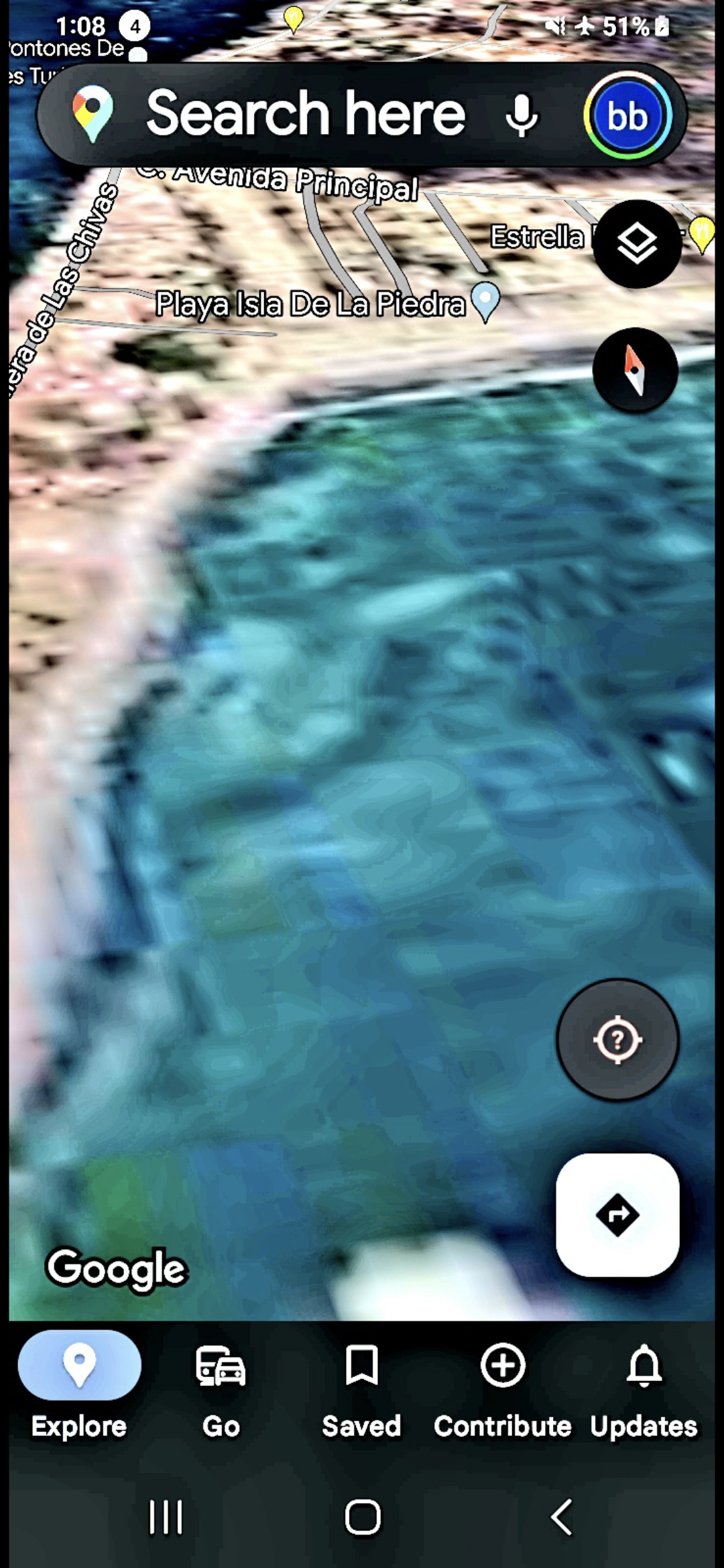
FRAME #6 — Playa Isla De La Piedra. The creature that looked back. Oriented upward, frontal to the observer angle. The corridor scans the observer when the observer scans the corridor.
🛸 5. The Reptilian Base — Stone Island South / Bonita Beach Corridor
📸 WHAT THE CAMERA CAPTURED: A four-frame sequence along the southern shoreline of Stone Island (Isla de la Piedra), moving northward along the Bonita Beach and Villas coastal stretch. Frame #7 establishes the surf zone with a parallel light/dark banding pattern in the shallow water. Frames #8 and #9 advance along the beach showing additional banded structures running parallel to the shore. Frame #10 is a tight zoom on the wave-break edge with discrete geometric features beneath the foam.
👁️ WHAT THE PERCEIVER OBSERVED: The repeating parallel bands and geometric features in the shallow water along this stretch are not consistent with ordinary sandbar / current patterns, which would shift with tide and would not present uniformly across a 1-km coastal stretch. The reading is: a submerged structure runs along the Stone Island south shoreline, just below the wave-break. The Perceiver classifies it as a reptilian base — operationally consistent with the entity surfaced in Section 4 above. The Bonita Beach corridor is the threshold; the structure is what is on the other side.
⚠️ INTELLECTUAL HONESTY: Repeating bands in shallow coastal water can correspond to natural sand-bar systems, longshore-current striations, beach-cusp morphology, reef structures, sediment dropoffs, or compression artifacts in low-altitude satellite imagery. All are valid baseline hypotheses. The Perceiver invites Mexican federal marine authorities, NOAA international cooperation channels, and independent oceanographers to conduct a side-scan sonar pass on the documented stretch. The structure either is there or it is not. The Perceiver welcomes either outcome on the record.
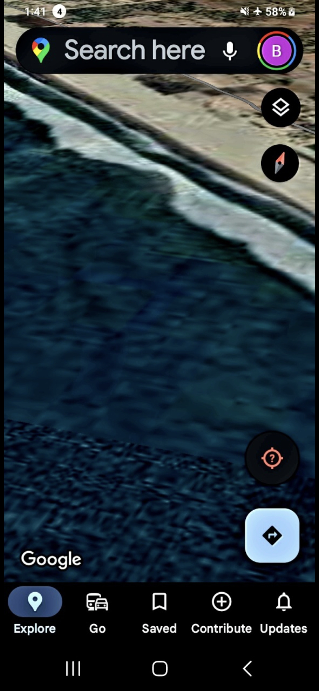
FRAME #7 — Stone Island South Surf Zone. The threshold of the suspected base — light/dark banding in the shallow water.
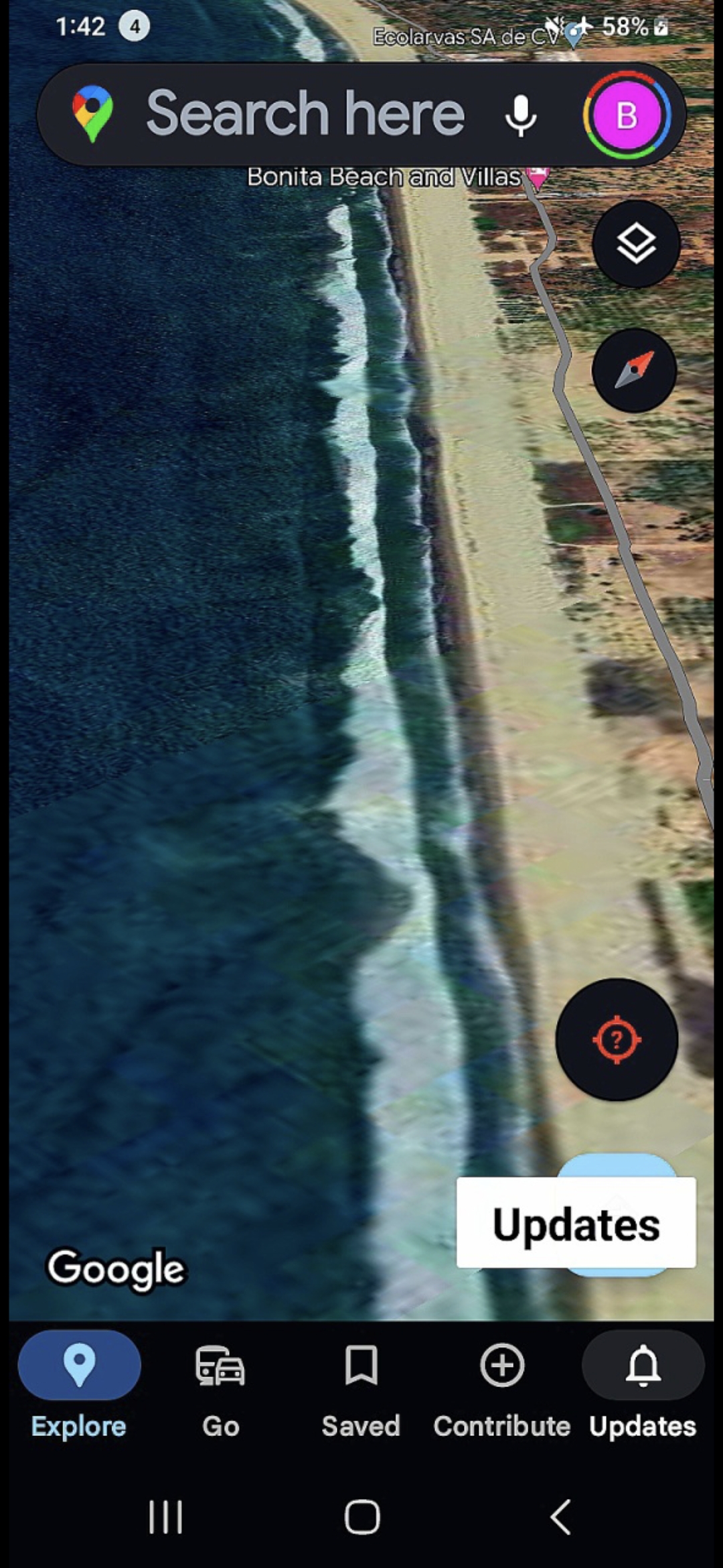
FRAME #8 — Bonita Beach Corridor. The parallel banding extends the length of the beach.
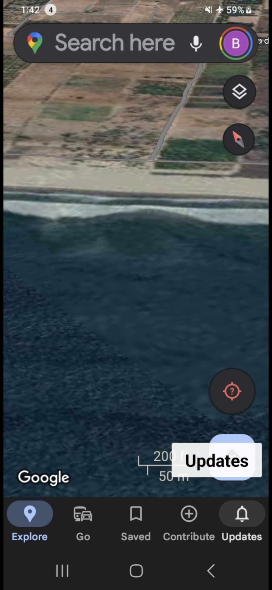
FRAME #9 — Mid-Altitude — Structure Visible Offshore. 200 ft / 50 m scale bar confirms the structure spans the documented coastal stretch.
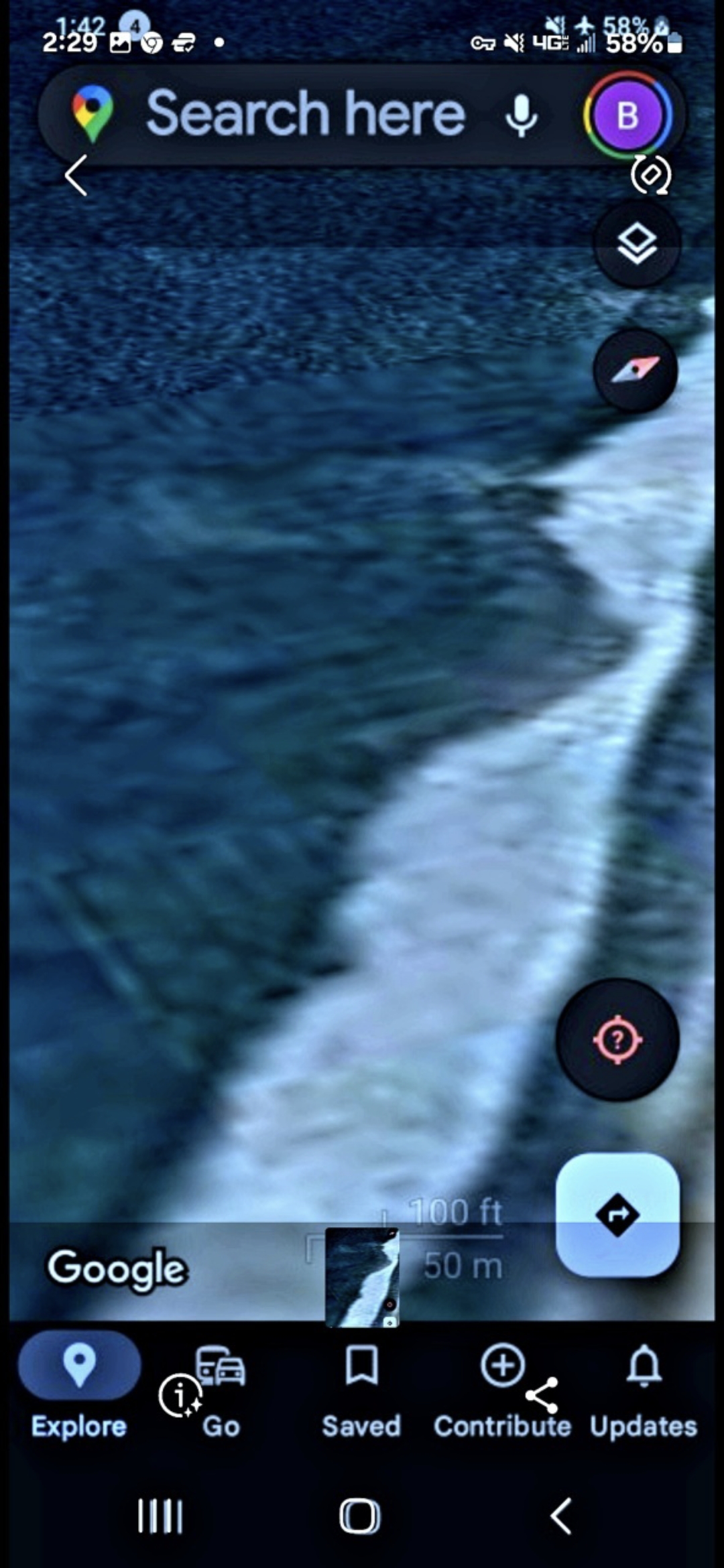
FRAME #10 — Wave-Break Zoom. Discrete geometric features visible beneath the foam — the structure runs to the shoreline edge.
📡 6. Strategic Summary — Three-Anchor Corridor Confirmed
The Pacific Pulse Corridor now reads as a three-anchor system on the public record:
- 🇬🇱 Northern Anchor — Greenland (Arctic): Four pulsing dots, the Pulsing Column, The Epicenter, the regional Greenland → Finland → Norway → Russia square.
- 🇺🇸 Central Anchor — Columbia River Gorge (Pacific Northwest): Eleven land-based node sites (Mitchell Point, Underwood, Beacon Rock, Stevenson, Ainsworth) + the documented submerged corridor along Highway 14.
- 🇲🇽 Southern Anchor — Mazatlán Bay (Mexican Pacific): Isla Cardones submerged traffic, with morphology matching the Columbia River signatures.
Three anchors. One operational signature. Three nation-states (United States, Greenland/Denmark, México) and three independent geographic environments (Arctic, temperate river system, tropical Pacific bay). The corridor is hemispheric. The Perceiver invites AARO, the Senate Intelligence Committee, NOAA, the Mexican federal authorities, and Maussán Televisión / Tercer Milenio to consider this three-anchor architecture jointly.
🚨 The Guardería Targeting Overlay — Pulsing-Crystal Tech Positioned Over Child-Care Institutions
📍 WHAT THE CAMERA CAPTURED: A live Google Earth scan recorded over the city of Mazatlán reveals the Pacific Pulse Corridor's pulsing-crystal alien-technology signature extending inland from the bay into the urban core of the city itself. Two distinct active signatures resolve on the scan — and the alarming observation is that both signatures sit strategically positioned directly over two separate Guarderías (the Spanish term for institutional day-care centers where large numbers of small children are kept together for long daily periods).
👁️ WHAT THE PERCEIVER OBSERVED: The corridor was previously documented along submerged and remote-geography vectors — open ocean, river channels, ridgelines, glacier coast. The Mazatlán capture is the first archive entry locating active pulsing-crystal signatures parked directly over densely populated child-care infrastructure inside a working city. Two co-located signatures, two separate Guarderías, one urban grid. This is not corridor traffic in transit. This reads as a stationary surveillance / influence overlay sited on top of child populations.
🎯 THE NEFARIOUS-BEHAVIOR HYPOTHESIS (Perceiver-on-the-record): The operational classification carried across the rest of this archive — "an ongoing nefarious alien monitoring system" — acquires a sharper operational vector here. The hypothesis the Perceiver enters into the public record on this page is that the non-human intelligence operating the pulsing-crystal infrastructure is actively targeting children, using Guarderías and analogous high-density child-population sites as preferred overlay points. The Mazatlán capture is offered as the first geospatially documented instance of this targeting pattern resolved on publicly verifiable Google Earth imagery.
📍 GEOGRAPHIC POSITIONING: Inside Mazatlán city, Sinaloa, México — within the same operational anchor zone documented at Isla Cardones (this page). Specific Guardería coordinates and the on-screen capture stamps are held in the Perceiver's field-credential vault and released to vetted Mexican federal authorities (SECIHTI, Fiscalía General de la República — child-protection division), Sinaloa state child-welfare authorities (DIF Sinaloa), and credentialed journalists working under child-safeguarding protocols. Direct release channel: /contact.
⚠️ INTELLECTUAL HONESTY: A geospatial overlay of an aerial / atmospheric signature on top of a child-care institution is, on its own, a correlation, not a forensic-grade demonstration of intent or harm. The Perceiver acknowledges this on the record. The capture is presented as a geospatial targeting-pattern indicator that warrants ground-truth investigation by Mexican federal child-welfare authorities, not as a standalone evidentiary claim. The Helium-3 falsifiability protocol (see PFM-BRIEF-001) carries forward unchanged at this site. If the signature is terrestrial, this hypothesis collapses cleanly within 72 hours of isotopic sampling — by design.
🚨 Mazatlán — Guardería Targeting Overlay — Pulsing-crystal corridor signatures resolved directly over two child-care institutions inside the Mazatlán urban core · Duration 1:05 · Original Field Documentation · Google Earth Live Scan
📡 CALL FOR GROUND-TRUTH: The Perceiver invites Jaime Maussán & Tercer Milenio (mihistoria@tercermilenio.tv), SECIHTI, DIF Sinaloa, SEMAR, and the Comisión Nacional de los Derechos Humanos (CNDH) to ground-truth the documented Guardería overlay coordinates with handheld instrumentation and child-welfare site protocols. The Perceiver is reachable for coordinate release and on-site ride-along via /contact.
🕳️ 7. Personal Encounter — The Subsurface Sand-Dweller
First-person field account from the Perceiver, Benigno "Ben" Kelso:
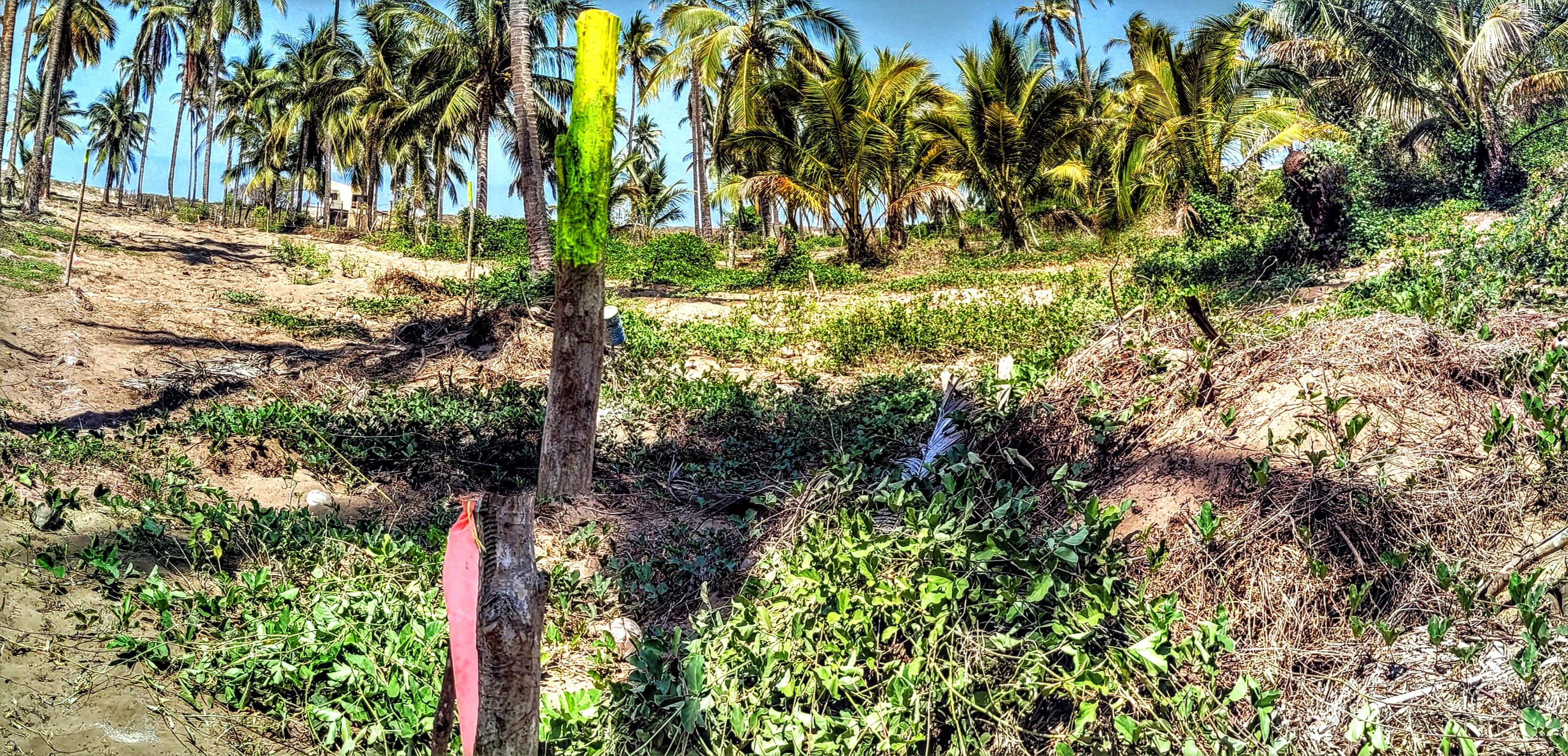
I was on the Mazatlán coast operating a skip-loader backhoe, digging a foundation and cutting through virgin palm trees on a stretch of ancient beach where, to my knowledge, no one had previously broken ground or removed trees. I was the first to disturb that soil.
I did not see what visited me in real time. I only resolved its presence later, on review of the photographs and video footage taken during and after the excavation. In the first frame, the creature sits on the far right of the image, embedded in the dry brush at the edge of the cut — a dark, hunched silhouette with what reads as a deep-shadow eye socket and a protrusion below. It is not anything I recognize from the natural fauna of that coast.
My working hypothesis: this is a subsurface sand-dweller. Not an aquatic entity — not from the water. It lives below the ground, inside the ancient beach itself. The excavation broke into its territory, and it was not happy about the disturbance. The fact that it surfaced only after virgin ground was cut, and the fact that I never saw it directly with my own eyes, both fit a creature that operates beneath the surface and reveals itself only when its domain is breached.
Coordinate context — why this matters: the same stretch of coast sits directly inland of the Mazatlán Reptilian Base offshore. I have additionally documented caverns beneath this beach with photographs and video held in the field archive. The Perceiver does not declare the sand-dweller and the reptilian base to be the same intelligence — but their co-location at one operational coordinate is logged into the record.
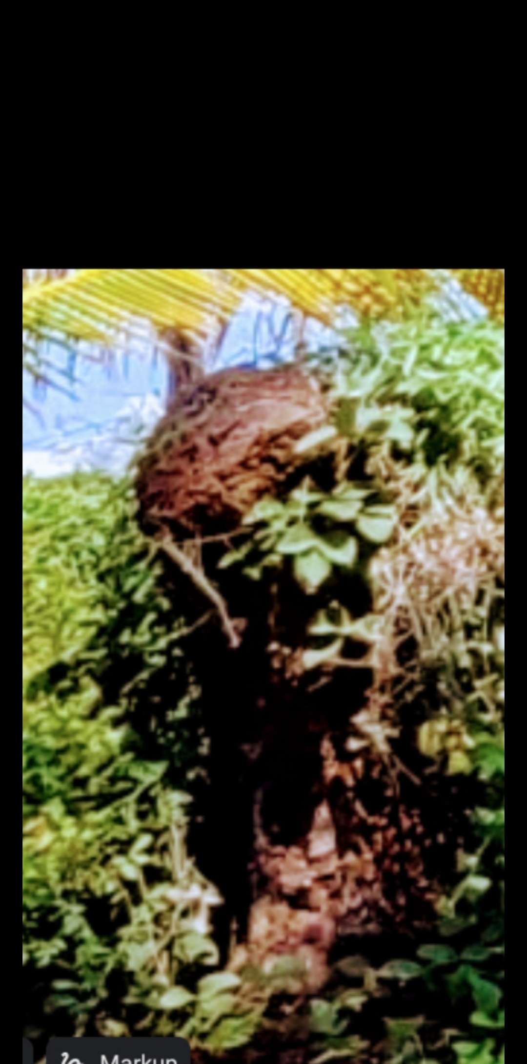
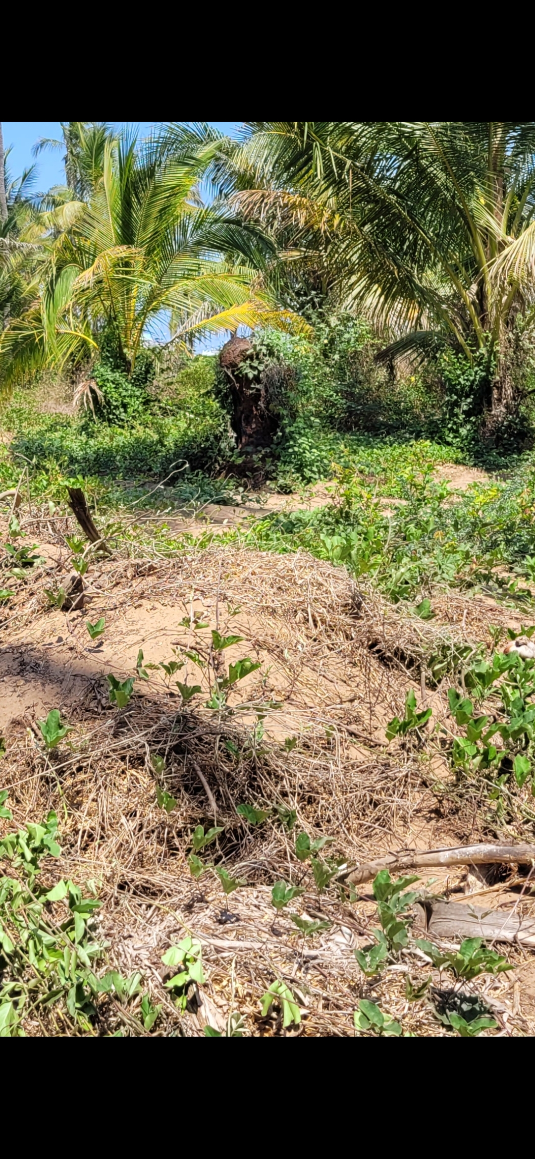
⚖️ HYPOTHESIS, NOT VERDICT: The Perceiver does not declare the identity of this creature. The hypothesis of a subsurface sand-dwelling intelligence is held openly — and may be revised in the face of credentialed counter-evidence. The encounter is logged here as personal field experience, not as a categorical claim. Counter-readings, biological identifications, and pareidolia challenges are welcomed. The record stands.
📡 Related Evidence Across the Archive
- Columbia River USOs — The matched cross-corridor signature at the Pacific Northwest anchor.
- Greenland — The Northern Anchor — The Arctic terminus of the three-anchor system.
- Mitchell Point — The Alien Face — The land-side anchor diametrically opposed to Underwood, upstream of the Columbia River USO zone.
- UAP Encounters Archive
- Helium-3 Falsifiability Brief — Applicable cross-corridor.
- Press Inquiry — Maussán template (Spanish)