First-person photographs of alien and interdimensional entities captured in the field by the Perceiver. Every image on this page is an original capture — nothing here is generated, composited, or sourced from elsewhere.
🛡️ CHAIN-OF-CUSTODY · READ BEFORE VIEWING
Provenance Statement — Every Image Below
Photographer: Benigno "Ben" Kelso — The Perceiver. No third-party contributors.
Source: Original in-field captures taken with the Perceiver's own camera / phone. Nothing on this page is downloaded, borrowed, or purchased.
Not AI-generated. No generative-AI images (Midjourney, DALL·E, Stable Diffusion, Sora, Nano Banana, etc.) appear on this page.
Not composited. No cut-and-paste, no layering, no overlays introduced. Where images are cropped or brightened to reveal detail, it is disclosed in the caption.
Locations: General regions are named. Exact GPS coordinates for each capture are held in the field-credential vault. Accredited researchers may request them via the credentialed-investigator gate.
This chain-of-custody rule is non-negotiable. If a photograph ever needs a different provenance path, it does not appear on this page — it goes to a separate section with its own disclosure.
🐉 REPTILIANS OPERATING A MOTOR VEHICLE📍 Mitchell Point Overlook · Columbia River Gorge
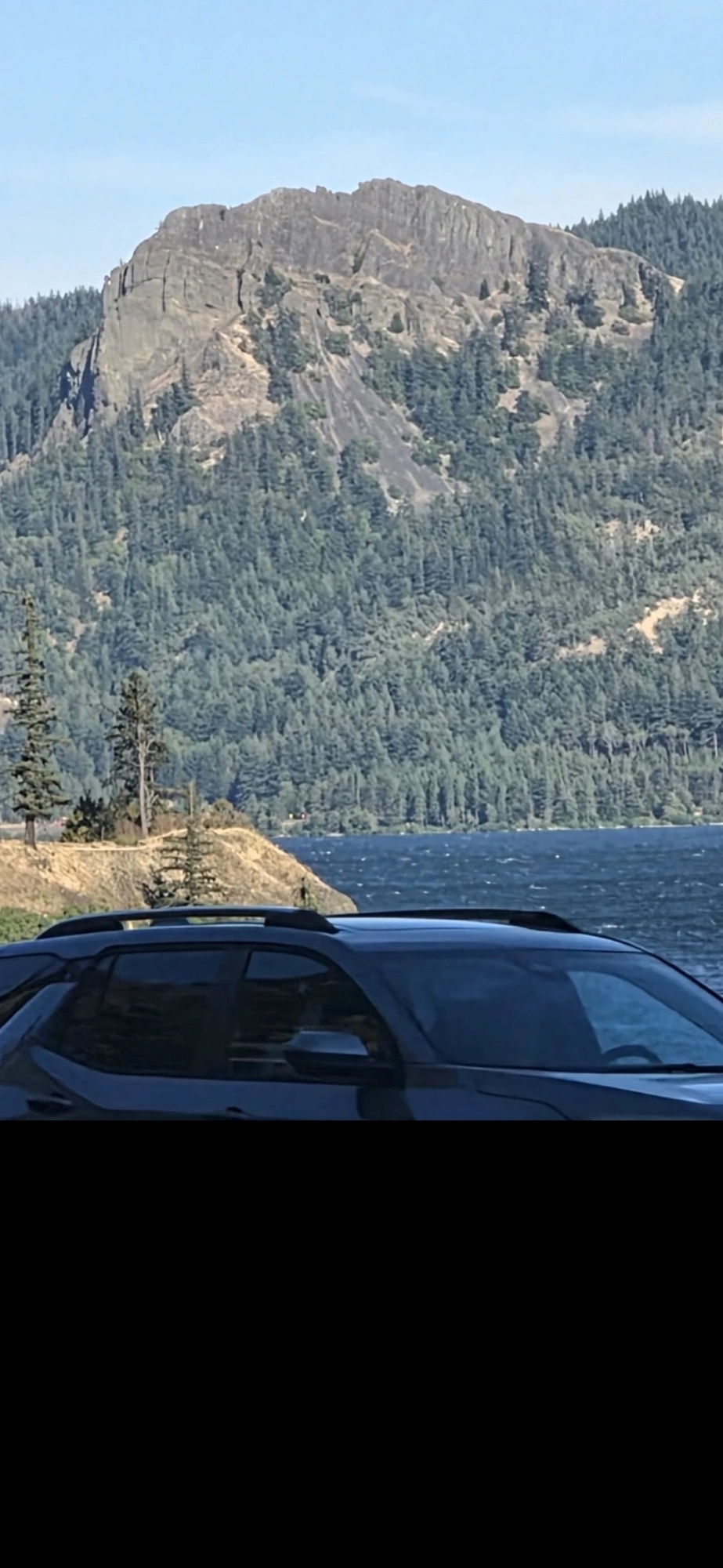
Reptilians in a Vehicle Blocking My Line of Sight to Mitchell Point
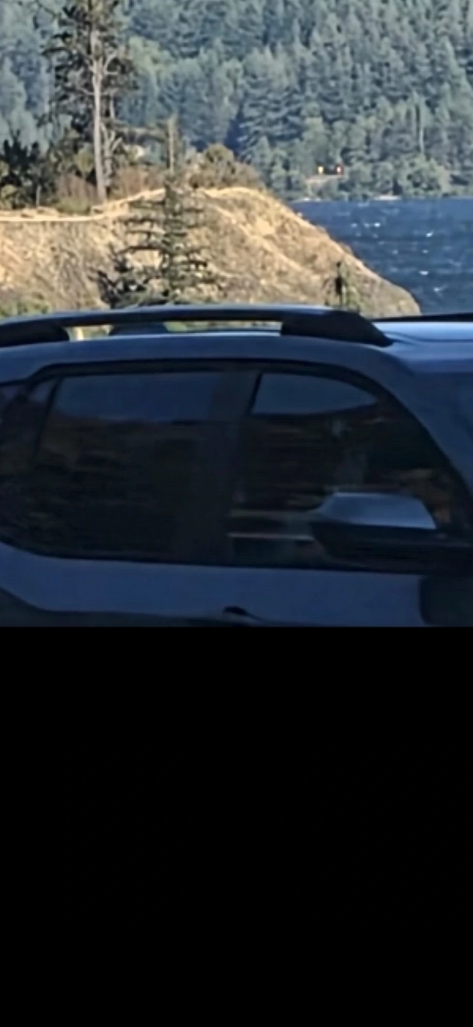
While the Perceiver was attempting to photograph the Mitchell Point face across the Columbia River, a vehicle rolled into his line of sight and held there. Inside that vehicle — behind the windshield and in the passenger seat — are reptilian entities. This is the critical intel of the sequence: reptilians are operating motor vehicles on our public roads. They should not be driving. They should not be on the highway system. And yet here they are, positioned to obstruct the Perceiver's field documentation at the exact moment he attempts to capture the Mitchell Point coordinate.
🚨 OPERATIONAL SIGNIFICANCE: A reptilian at the wheel is not just a sighting — it is an infiltration signature. It means these entities are holding driver's licenses, insurance, registrations, and public-road access, which in turn means they are embedded inside the DMV, banking, and rental / vehicle-fleet systems. The public should know this. Legislators should know this. Law enforcement should know this.
Frame 1 — Wide establishing shot. Vehicle rolls into the Perceiver's line of sight between the overlook and the Mitchell Point face across the Columbia. Whoever is driving does not want the coordinate photographed.Frame 2 — First zoom onto the vehicle. Two occupant outlines resolve behind the windshield — a driver and at least one passenger.Frame 3 — Deeper zoom onto the driver position. The facial geometry behind the glass reads reptilian: elongated jaw line, non-human cranial proportions, no discernible human skin tone under the windshield glare.Frame 4 — Extreme zoom. Both occupants of the vehicle now register as reptilian. This is the operational read: a reptilian pair operating a motor vehicle on Interstate 84 in broad daylight.Frame 5 — Maximum zoom. The reptilian facial reads hold on both the driver and the companion. This is the primary evidence of this sequence. The mountain behind is secondary.
🌲 SECONDARY READ — THE HILLSIDE CROWD (approx. 25+): Beyond the vehicle, on the Mitchell Point slope itself, roughly twenty-five separate creatures are camouflaged into the trees and bushes. They do not stand as isolated silhouettes — they mix with the foliage. When you can make out a face in the greenery, it is because that creature is currently using a bush as its cover geometry. Prior versions of this dossier called out only one figure near a lone pine tree. That was an undercount. The correct read is that the hillside is populated in depth.
🔬 INTELLECTUAL HONESTY: A conventional read of the vehicle frames would say the windshield glare and low native resolution obscure the occupants and that the facial geometry is not definitively resolvable at this pixel budget. The Perceiver acknowledges the resolution limit. The classification of the driver and the companion as reptilian comes from (a) the atypical facial proportions visible under the glare, (b) the timing of the vehicle's appearance directly across the line of sight during a documentation attempt, and (c) the Perceiver's prior close-range reptilian encounters documented elsewhere on this site. The falsifiable claim being made publicly is: reptilian entities are operating motor vehicles inside the U.S. public road system. Any credentialed investigator with better optics and a stakeout at the Mitchell Point overlook can independently confirm or refute this claim.
📡 More entity captures on the way. This archive expands as the Perceiver publishes additional field photographs.
🛰️ SATELLITE / AERIAL ANOMALIES · SEPARATE TRACK
Anomalies Discovered in Publicly Available Satellite / Aerial Imagery
A separate track from the field-photography grid above. These items are the Perceiver's screen captures of publicly available satellite and aerial imagery (Google Earth, Apple Maps, publicly hosted tiles). They are catalogued here so any reader can pull up the same public tile and verify what the Perceiver saw.
🛡️ SATELLITE TRACK · PROVENANCE
Source: Screen captures of publicly available satellite / aerial imagery — not the Perceiver's field camera.
Not composite. Not AI. No generative fill, no compositing. Where a screen bezel or reflection was cropped for readability, that is disclosed.
Verifiability: These findings are the Perceiver's catalogue of anomalies visible to anyone who opens the same public tile. Coordinates are held in the field-credential vault; accredited researchers may request them via the credentialed-investigator gate.
Interpretation: The commentary is the Perceiver's reading of the terrain. The public tile is the evidence — decide for yourself.
🛰️ ENTITY 002 · MOUNTAIN ENTRANCE🖥️ Screen capture · Publicly available satellite imagery📍 Coordinates in the vault
Camouflaged mountain entrance — upright face profile with two figures at the mouth
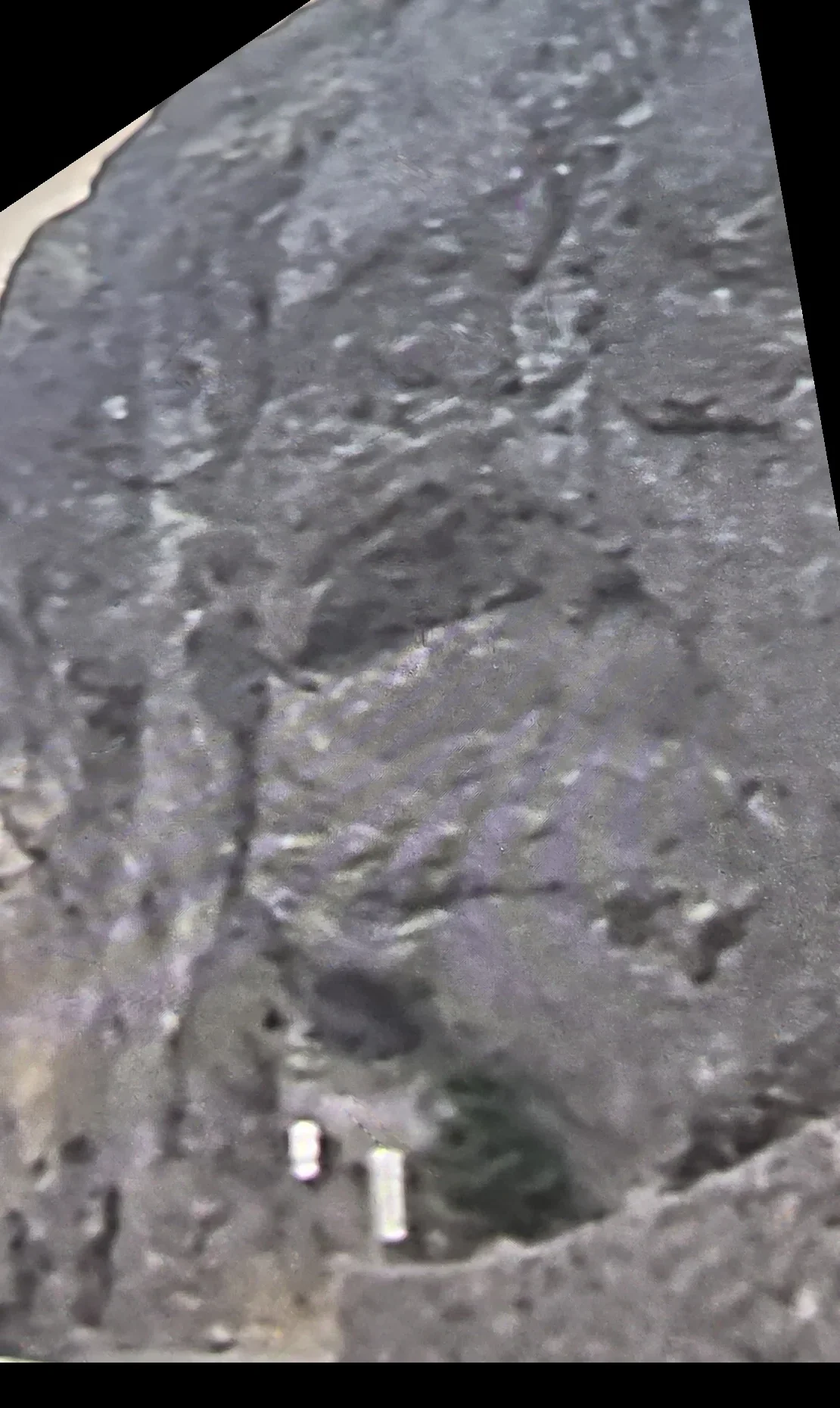
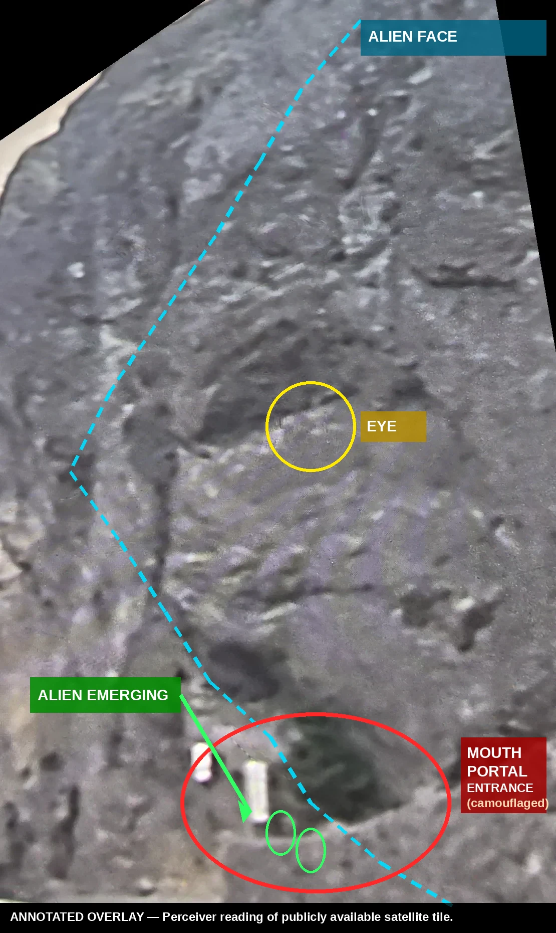
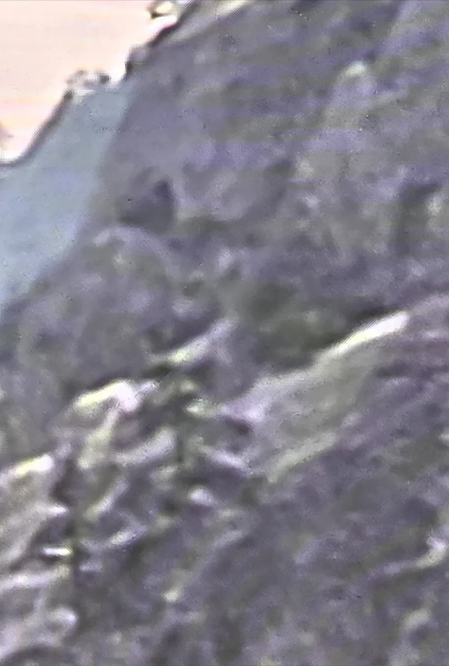
On publicly available satellite imagery, the Perceiver identified a section of terrain that reads as a large face in profile — sitting upright, looking to the left, with the mouth pointed down toward the road. The reading, once seen, is difficult to unsee: the surrounding rock forms the brow, forehead, cheek, and jaw; a distinctly round recessed feature sits where an eye would be; a green-toned depression reads as nostril or cheek marking; and two small bright rectangular shapes are visible in the aperture at the bottom that reads as the mouth. The Perceiver's working hypothesis is that this is a camouflaged entrance into the mountain — with two entities captured at the aperture at the moment the public satellite pass was made.
Oriented upright — face profile looking left, mouth down, eyes up. Left: raw un-annotated frame. Right: the Perceiver's reading with the alien face outlined, the eye circled, the camouflaged mouth-portal marked, and the alien figure emerging from the portal highlighted. The portal entrance is invisible to the untrained eye — the annotation makes what is there visible without altering the underlying satellite tile.
📷 FIELD CORROBORATION · GROUND PHOTOGRAPH FROM HIGHWAY 14
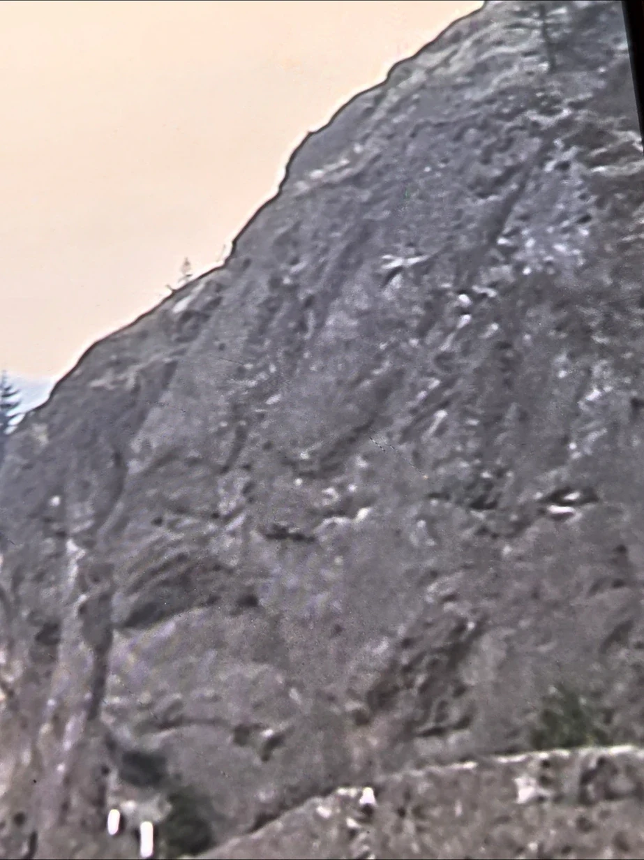
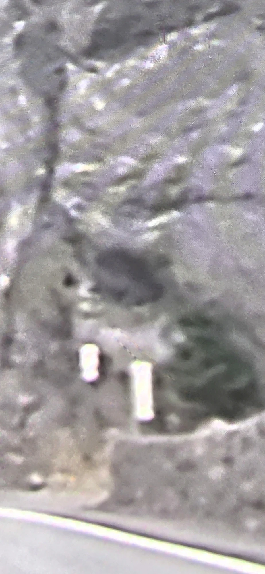
The satellite view above is not standalone. The Perceiver has photographed the same rock from Washington State Highway 14 itself — from the road passing directly beneath it. The physical ground photograph confirms this is a real, imposing cliff face along the corridor drive.
Ground photograph from the roadside on Highway 14. The guardrail at the bottom of the frame is the boundary of the drive from Stevenson to Underwood.
🐾 THE PROTAGONISTS · DETAIL ZOOMS AT THE PORTAL
What is entering the mountain — extreme zooms into the mouth aperture
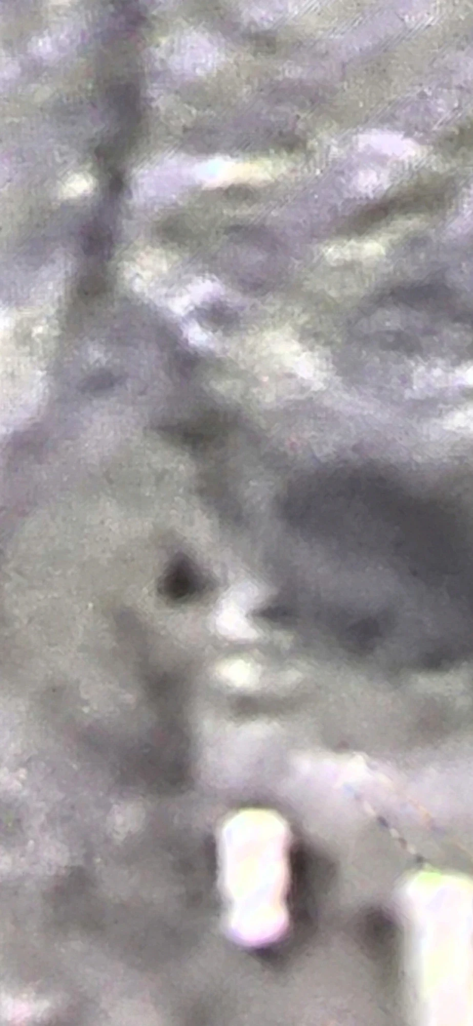
The Perceiver drove into the satellite tile at maximum zoom to resolve the protagonists visible in the portal aperture. The four frames below are progressive zooms into the same mouth region. Look for upright bright vertical figures (the entities entering / emerging) and, in some frames, the darker shape of an animal-like head hanging over the pair. The imagery is grainy — that is the honest ceiling of publicly available satellite resolution — but the shapes, position, and pairing repeat across the frames.
Frame 1 — Eye + snout profile above the two figuresFrame 2 — Animal-form head over the pair in the apertureFrame 3 — Extreme close of the head/snout terrain textureFrame 4 — Pair of upright figures with dark form above
The protagonists are not off-world beings — they are Earth animals, scientifically bred to intelligence
The Perceiver is entering into the public record a new interpretive framework that will govern the rest of this archive going forward:
The creatures moving through the camouflaged mountain portal are animals of the animal kingdom — Earth-native species, not visitors from another star system.
These animals have been placed under a scientific breeding programme — inbred and genetically reproduced across generations — for the express purpose of raising their intelligence beyond their natural baseline.
The end product of that programme is what the general public has, for decades, been calling “the aliens.” They are intelligent bred animals operating with agency, tactics, and coordination.
The Perceiver's working label for this class: Bred Intelligent Fauna (BIF) — a class distinct from ordinary wildlife, distinct from off-world visitors, and distinct from human genetic stock.
Under this doctrine, the entities photographed at the Highway 14 mountain portal are BIF operators moving a child into the mountain, not extraterrestrial abductors and not conventional predators.
Applies archive-wide going forward: Where earlier pages on this site used the terms “alien,” “non-human,” or “interdimensional” loosely, the ruling reading from this entry forward is that the operational actors are Bred Intelligent Fauna (BIF). Earlier posts will be reconciled to this doctrine as the archive is rolled forward. Evidential material substantiating the breeding-programme claim is held in reserve for a future disclosure release.
🔬 INTELLECTUAL HONESTY: Pareidolia (the tendency of the human visual system to read faces into terrain) is a real cognitive factor and must be acknowledged. What this image does establish beyond dispute: a round recessed feature and two bright rectangular shapes at a position on the terrain that are inconsistent with vegetation, shadow, or standard geological wear. Whether the surrounding profile is a natural coincidence, a deliberately shaped camouflage, or interpretive is left to the reader. The public satellite tile is the evidence — the coordinates are available to accredited investigators.
📍 LOCATION & ACCESS
This rock sits along the Washington State Highway 14 corridor, on the north bank of the Columbia River Gorge, on the drive running east to west from Stevenson to Underwood. Anyone travelling that stretch passes directly beneath the mountain and never sees the camouflaged aperture that the Perceiver has now identified from satellite. Exact coordinates are held in the field-credential vault; accredited researchers may request them via the credentialed-investigator gate.
What the Perceiver believes happens inside this mountain
The following is the Perceiver's testimony as a witness, not asserted historical fact. The public satellite tile establishes the anomaly; the interpretation below is the Perceiver's spiritual and evidential reading of what this place is.
The Perceiver holds this rock to be a very paranormal, spiritually evil place — not neutral terrain.
The Perceiver believes that certain children are taken into this mountain through the camouflaged portal — the same aperture visible in the annotated frame above.
The Perceiver believes that inside that mountain, children are sacrificed — sacrificed unto Satan by the alien/interdimensional entities that occupy the interior.
These are the Perceiver's convictions from years of field work in the Columbia River Gorge corridor. They are stated here so the record shows where the Perceiver stands.
Evidence in reserve: The Perceiver holds additional evidential material substantiating the child-trafficking / ritual-sacrifice reading of this site. That material is held back for a future disclosure release — it is not published here yet. This section will be expanded when the Perceiver is ready to publish it.
🕊️ DISCERNMENT NOTE: The Perceiver's ministry frames these places through spiritual warfare — as sites where covering prayer, discernment, and lawful reporting matter. If you or someone you know has direct evidence relating to child endangerment along this corridor, please report it to the National Center for Missing & Exploited Children at 1-800-843-5678, the FBI tip line at tips.fbi.gov, or local law enforcement — in addition to any research contact with the Perceiver.
🌊 ENTITY 003 · AQUATIC-FORM BIF🖥️ Screen capture · Publicly available satellite imagery📍 Coordinates in the vault🆕 NEW SPECIES — Perceiver's discovery
Aquatic-form BIF — new species discovered in publicly available satellite imagery of the coast
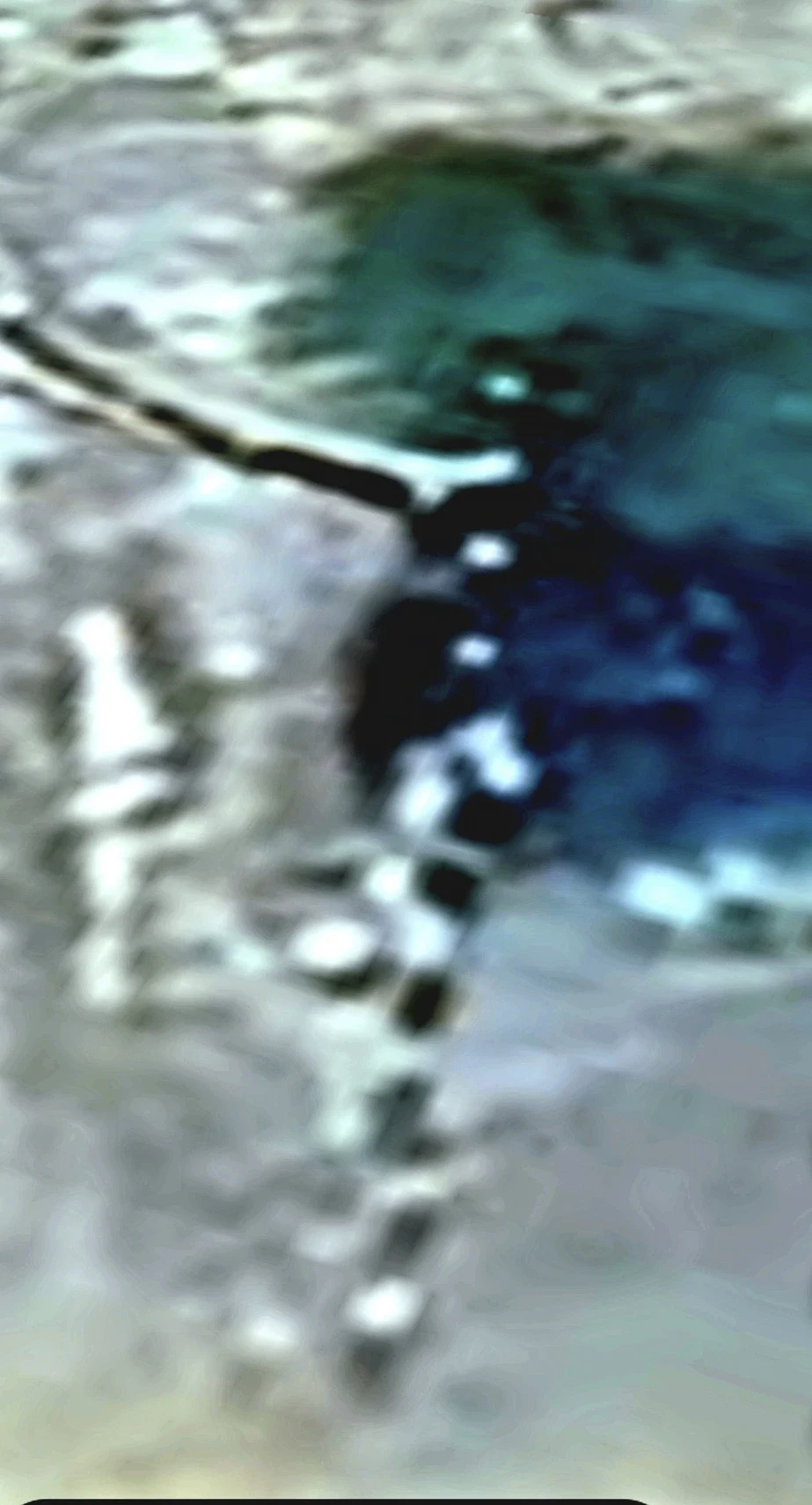
On publicly available satellite imagery of a coastal water line, the Perceiver identified a large segmented aquatic creature — a species not catalogued in the current marine-biology literature and, by the Perceiver's reading, not a member of any conventionally identified oceanic clade. The body runs vertically from the shallows out into deeper water: dark, distinctly segmented sections separated by lighter gaps, extending along the beach line and out to sea. Under the Bred Intelligent Fauna doctrine now governing this archive, the Perceiver classifies this as an aquatic-form BIF — an Earth-native ocean animal that has been placed under the same scientific breeding programme and elevated in intelligence in a marine operational role.
Google Earth toolbar and phone navigation elements cropped for readability — no compositing, no colour or geometry changes to the underlying tile.
🔬 INTELLECTUAL HONESTY: What this image establishes: a segmented dark structure of significant length in shallow-to-deep water, at a resolution that is inconsistent with a boat wake, a sandbar, a submerged rock ridge, or any conventional near-shore geological feature. Whether the reader interprets the segmentation as an animal body, as an installation, or as a phenomenon not yet classified is left to them. The public satellite tile is the evidence — coordinates are held in the vault for accredited investigators.
🛰️ More satellite / aerial anomalies on the way as the Perceiver catalogues additional findings from publicly available imagery.