🎯 LATEST POSITION UPDATE · TACTICAL BRIEF

Enemy Positions — Latest Corridor Update

This page consolidates the most recent positional intel for the Columbia River corridor. Two field sites are represented: Dog Creek Falls (the shoreline picket-line video and the two overhead frames showing the target shoreline across the water) and Home Valley Park (the two overhead frames showing the park position where the array is visible).

All Google Earth chrome (search bar, zoom indicator, thumbnails, phone status bar, compass, navigation controls, place-marker pins) has been trimmed from the published frames per OPSEC protocol. Full unredacted originals are retained in the private study vault.

Dog Creek Falls — Shoreline Picket Line

Field video capture of a slow pan across the Dog Creek Falls shoreline. Multiple entities are positioned along the water's edge, spread out at intervals — the formation is a picket line, not a cluster. The blur in the video is the operational signature of an actively engaged target, not a camera defect.
🎬 Dog Creek Falls — shoreline picket line (video capture). Slow field pan. Entities are stationed along the shoreline at intervals; not clustered. Warfare footage — blur is the target's operational signature.
Overhead satellite view of the Dog Creek Falls target shoreline across the water — dark blue open channel on the left transitioning to a rocky tan-gray shoreline on the right
🛰️ Overhead Frame 1 — target shoreline across the water. Wide overhead of the opposite bank at Dog Creek Falls. This is the shoreline the ground-level video was looking toward — dark deep-water channel on the left, target shoreline on the right.
Closer overhead satellite view of the Dog Creek Falls target shoreline — deep blue water on the left, lighter rocky shoreline running vertically along the right
🛰️ Overhead Frame 2 — target shoreline (zoom). Tighter overhead of the same shoreline. Read together with Frame 1 to confirm the two overhead angles are looking at the same stretch of bank.

Home Valley Park — Position Overhead

Two overhead frames of Home Valley Park on the Columbia River, Washington side. These are separate from the Dog Creek Falls capture — this is a different position in the corridor. The park's central structure and treeline are visible; this is the shoreline where the array positioning is observed.
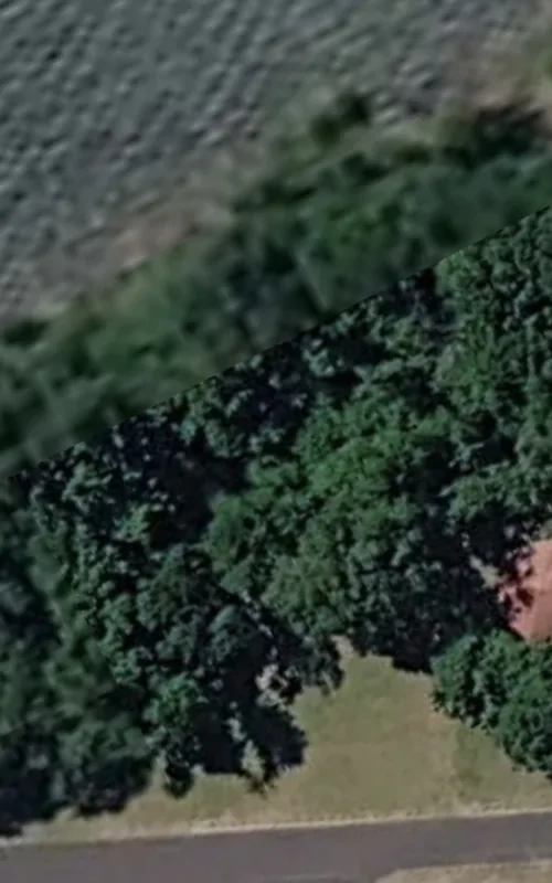
Overhead satellite view of Home Valley Park showing the central structure with a red roof surrounded by dense green treeline and a road running along the bottom of the frame
🛰️ Home Valley Park — position overhead. Central park structure (red-roofed pavilion) framed by dense treeline. Waterline visible in the upper-left corner. This is the corridor waypoint where the array positioning is documented.
Close overhead satellite view of dense forest canopy at Home Valley — dark green treetops with mosaic tile edges visible from Google Earth's satellite mesh
🛰️ Home Valley — canopy close-up. Tight overhead of the surrounding tree canopy. The mosaic tile edges are Google Earth's satellite mesh, not publisher artifacts. Held on file as the immediate forested context around the park waypoint.
Cross-reference: the shoreline picket-line video also appears on the Video Evidence hub. Home Valley Park shoreline stills (Sites 1–11) covering the Witches' Jelly correlation are on the Witches' Jelly Advisory page. Doctrine and interpretive framework: About the Perceiver.