Mazatlán Aquafarian Archive — Two New Underwater Faces, One With a Possible Flying Craft Inside the Eye
- DATE19 MAY 2026
- LOCATIONMazatlán under-the-ocean Pacific Coast corridor — two new underwater coordinates inside the same Pacific Mexican operational zone that already carries the half-hexagon seafloor installation, the Face of Mazatlán, the triangle interior-occupancy markers, and the Sea of Cortez alien profile
- THEMETwo More Aquafarian Faces on the Pacific Seafloor — One With a Possible Flying Craft Sitting Inside the Eye
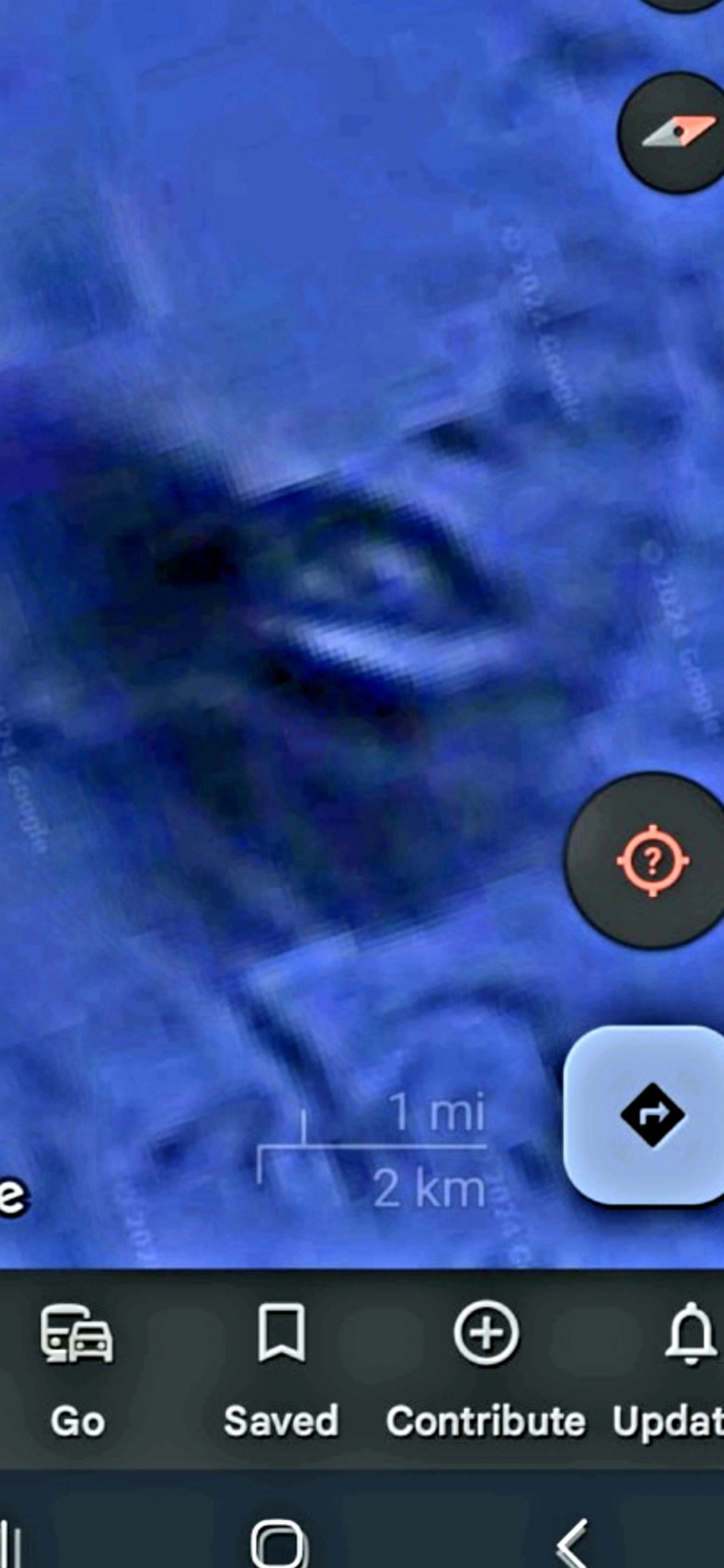
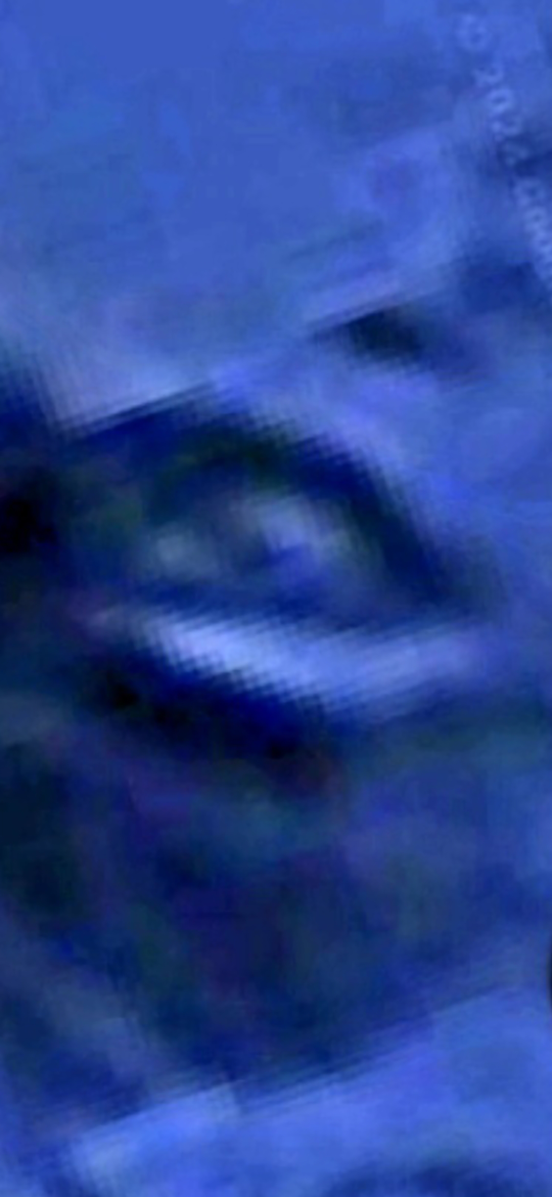
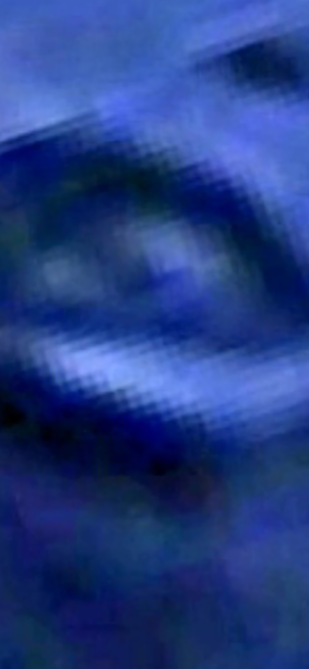
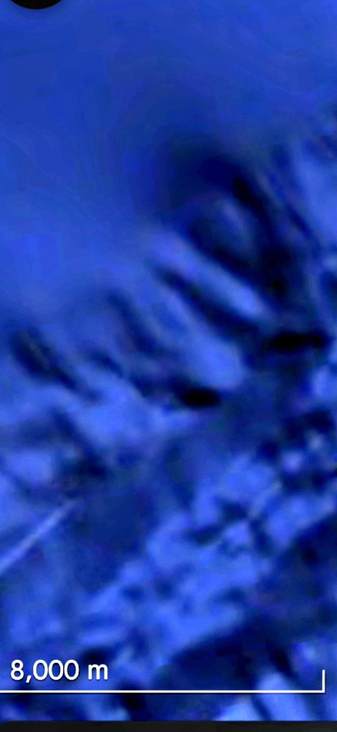
› SUMMARY: Mazatlán under-the-ocean Pacific Coast archive expansion. Five new Google Maps satellite captures documenting two additional underwater facial geometries inside the same operational corridor that already carries the half-hexagon seafloor installation, the Face of Mazatlán, the triangle interior-occupancy markers, and the Sea of Cortez alien profile. FACE #1 (3 frames: wide context + two progressive zoom passes) — the Perceiver flags that the EYE of this first face appears to contain a possible flying craft, structured cuboidal/rounded geometry with an internal bright core, persisting across both zoom passes (geometric persistence under magnification, not single-angle pareidolia). FACE #2 (2 frames at 8,000 m scale: wide + zoom) — a DIFFERENT facial geometry from the first, distinct morphology and proportions, same Pacific Coast underwater archive. The Perceiver classifies both coordinates as locations of interest where AQUAFARIANS — aquatic alien life forms — are found. The Mazatlán Pacific Corridor now carries at least six distinct underwater facial / installation signatures in a single connected operational zone.
ARCHIVE EXPANSION: this drop adds two additional underwater facial geometries to the existing Mazatlán Pacific Corridor on /uap-encounters — the same operational corridor that already carries the half-hexagon seafloor installation off Mazatlán, the Face of Mazatlán coastline geometry, the triangle interior-occupancy markers, and the Sea of Cortez humanoid alien profile rendered in deep water north of Mazatlán toward La Paz. The new section is anchored on /uap-encounters as "The Aquafarian Archive — Two More Underwater Faces."
FACE #1 — THE EYE MAY BE A FLYING CRAFT (3 frames). Frame #1 (wide context): a Google Maps satellite capture of the Pacific seafloor in the Mazatlán corridor with the Google bottom-navigation bar (Go / Saved / Contribute / Update) visible and the 1 mi / 2 km scale bar in frame — the underwater terrain resolves into a discernible facial geometry. Frame #2 (first zoom on the eye): the eye region of that face contains a bright structured cuboidal/rounded core with hard edges, geometrically inconsistent with the surrounding camouflaged seabed. Frame #3 (deeper zoom): the same eye-craft core persists at higher magnification — geometric persistence under magnification is the standard test against single-angle pareidolia, and it holds.
PERCEIVER'S READING ON FACE #1: the bright structured geometry inside the eye reads as a possible PARKED or HOVERING FLYING CRAFT sitting inside the recessed eye of the larger face. This is the same operational pattern documented at Mitchell Point (parked craft sitting on top of an alien-face formation) — except here the formation is on the Pacific seafloor and the craft sits INSIDE the eye rather than on top of the crown. Same doctrine: where a face is rendered in the geometry, an interior occupant is present; where a structured craft sits on or in the face, the site is actively operational, not a relic.
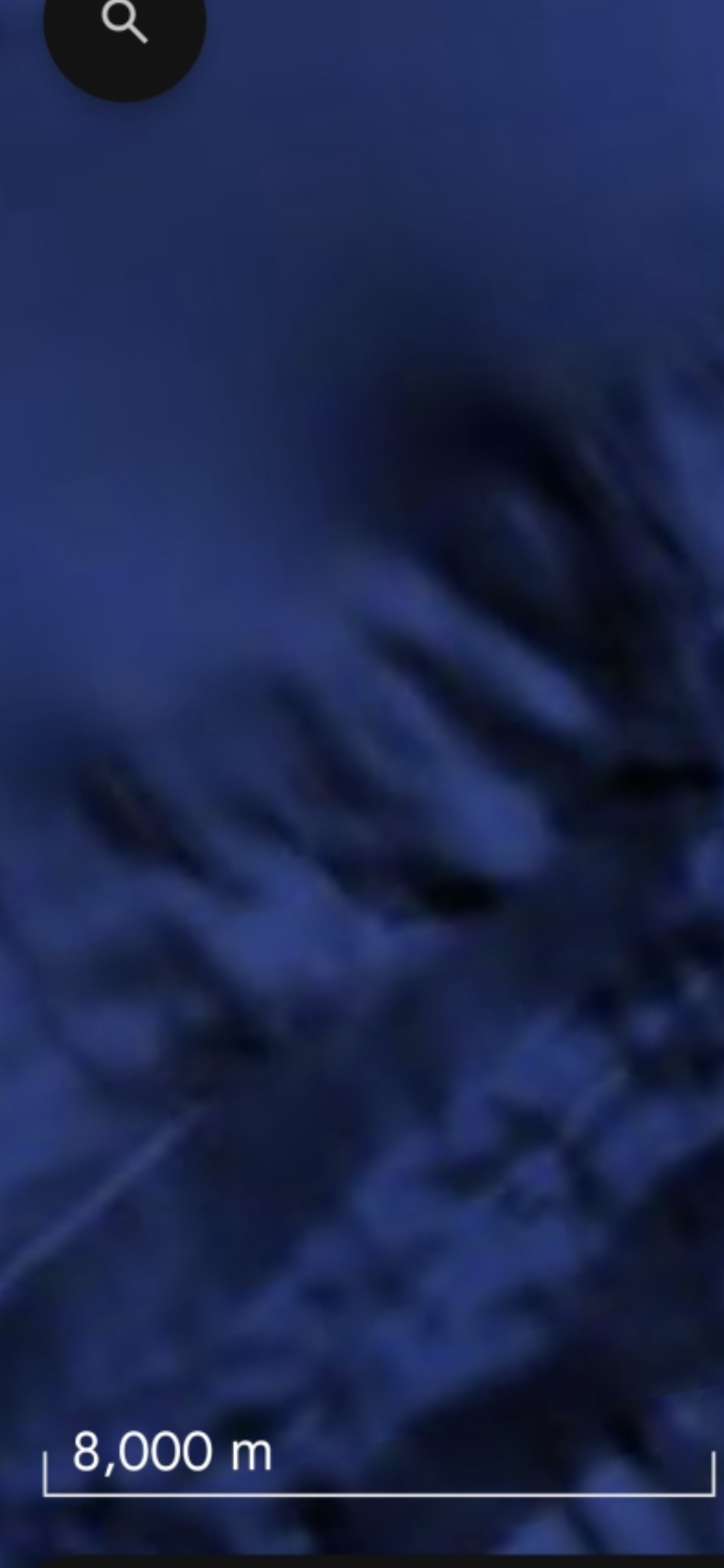
FACE #2 — DIFFERENT GEOMETRY, SAME ARCHIVE (2 frames at 8,000 m scale). Frame #4 (wide context): a second Pacific Coast underwater coordinate captured at the 8,000 m scale — at this altitude the terrain resolves into a DIFFERENT facial reading from the first, distinct morphology, distinct proportions, distinct rotational angle. Frame #5 (closer zoom, search-icon visible at upper-left of the Google Maps UI): same coordinate, higher magnification, same distinct facial geometry. The Perceiver flags this coordinate as another location of interest where aquafarians are found, inside the same Mazatlán under-the-ocean Pacific Coast corridor.
AQUAFARIAN OPERATIONAL READING: with these two additions, the Mazatlán Pacific Corridor now carries at least SIX distinct underwater facial / installation signatures in a single connected operational zone (half-hexagon installation + Face of Mazatlán + triangle interior-occupancy markers + Sea of Cortez alien profile + aquafarian face #1 with eye-craft + aquafarian face #2 at 8,000 m). The presence of what reads as a flying craft sitting inside the eye of the first new face elevates this from a static-geometry capture to an active operational site, consistent with the corridor-scale operational-site pattern established at Mitchell Point and the newly-documented 10th-node Cascade Range site (parked craft + three pulsing energy signatures on the same mountain).
⚠️ INTELLECTUAL HONESTY — DECLARED UP FRONT: conventional readings of the five captures above would attribute (a) the facial geometry to pareidolia at deep-water Google Maps tile resolution, (b) the bright structure inside the eye to a Google Maps photogrammetric tile artifact where bathymetric data is sparse and the renderer blends multiple satellite passes, (c) the "different face" at the 8,000 m scale to a submarine seamount or fault scarp imaged at oblique angle, or (d) JPEG-compression saturation at the boundary between deep blue camouflaged seabed and brighter pixel clusters. Those are all valid baseline hypotheses, acknowledged here up front. The Perceiver publishes the coordinates anyway because the corridor-scale co-occurrence of six facial / installation signatures in the same connected zone is the operational fingerprint — not any one face on its own. Independent investigators with marine geology or bathymetric expertise are invited to navigate Google Maps to the Mazatlán Pacific corridor and ground-truth.