Mitchell Point — Alien Face From Above, Eye + Entrance Through Infrared Filter, Parked Craft With Pulsing Crystal Powering Up On Top, Crown Crest as the Headpiece
- DATE18 MAY 2026
- LOCATIONMitchell Point, Oregon — Columbia River Gorge, immediately adjacent to Interstate-84, minutes east of Hood River (across the river from Underwood Mountain, Washington)
- THEMEMitchell Point Reads as the Face of an Alien from the Sky — Eye and Entrance Visible Through Infrared Investigative Photography — Parked Craft With Pulsing Crystal On Top, and a Crown Crest as the Headpiece
› SUMMARY: Major intelligence drop on Mitchell Point — the prominent basalt headland on the Oregon side of the Columbia River Gorge, immediately adjacent to Interstate-84, minutes east of Hood River, and diametrically opposed across the river from Underwood Mountain. Four progressive frames captured by the Perceiver — one Google Maps aerial showing the formation reading as a non-human face from altitude, then three infrared / filter passes peeling back the daylight rock to reveal an eye and an entrance into the formation that I-84 traffic passes at 60+ mph without ever seeing. Two additional standby frames document a flying craft parked on top of the formation with a pulsing crystal at its rear (working as a power source / propulsion charging configuration) and a distinct crown / crest geometry on the dorsal surface that reads as the headpiece on the alien face. Companion working thesis: the Mitchell Point pulsing crystal and the Underwood Mountain pulsing crystal are diametrically opposed and actively communicating, with Helium-3 (³He) advanced as a candidate transmission medium. The dedicated /mitchell-point page is now LIVE with all six frames.
LOCATION ANCHOR: Mitchell Point is a prominent rock formation on the Oregon side of the Columbia River Gorge, immediately adjacent to Interstate-84 and only minutes east of Hood River. Tourists pass it at highway speed every day. Diametrically across the river — line-of-sight, north bank — is Underwood Mountain in Washington State, where the Perceiver was raised and where the bulk of this archive's field captures originate. Mitchell Point and Underwood are the two ends of a coordinated corridor installation.
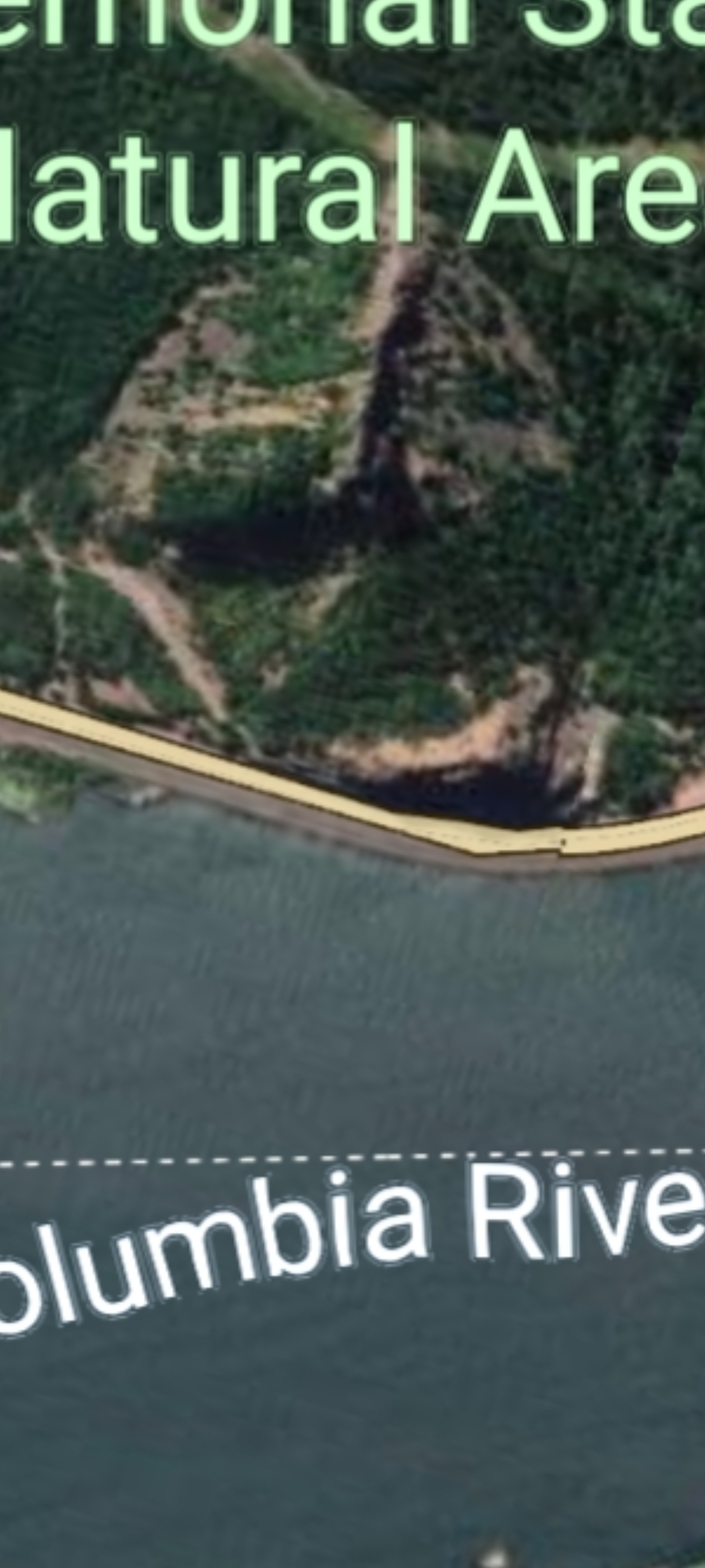
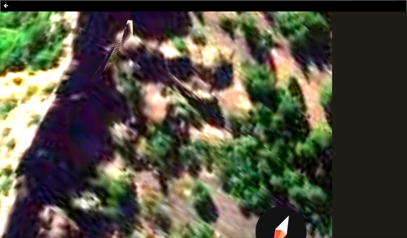
📸 WHAT THE CAMERA CAPTURED — FRAME #1 (Mitchell Point Seen From the Sky): a Google Maps satellite aerial, labeled "Memorial State Natural Area" with the Columbia River below the headland, showing the rock formation arranging from altitude into a discernible face. The Perceiver first published this reading in ORIGIN: The Perceiver.
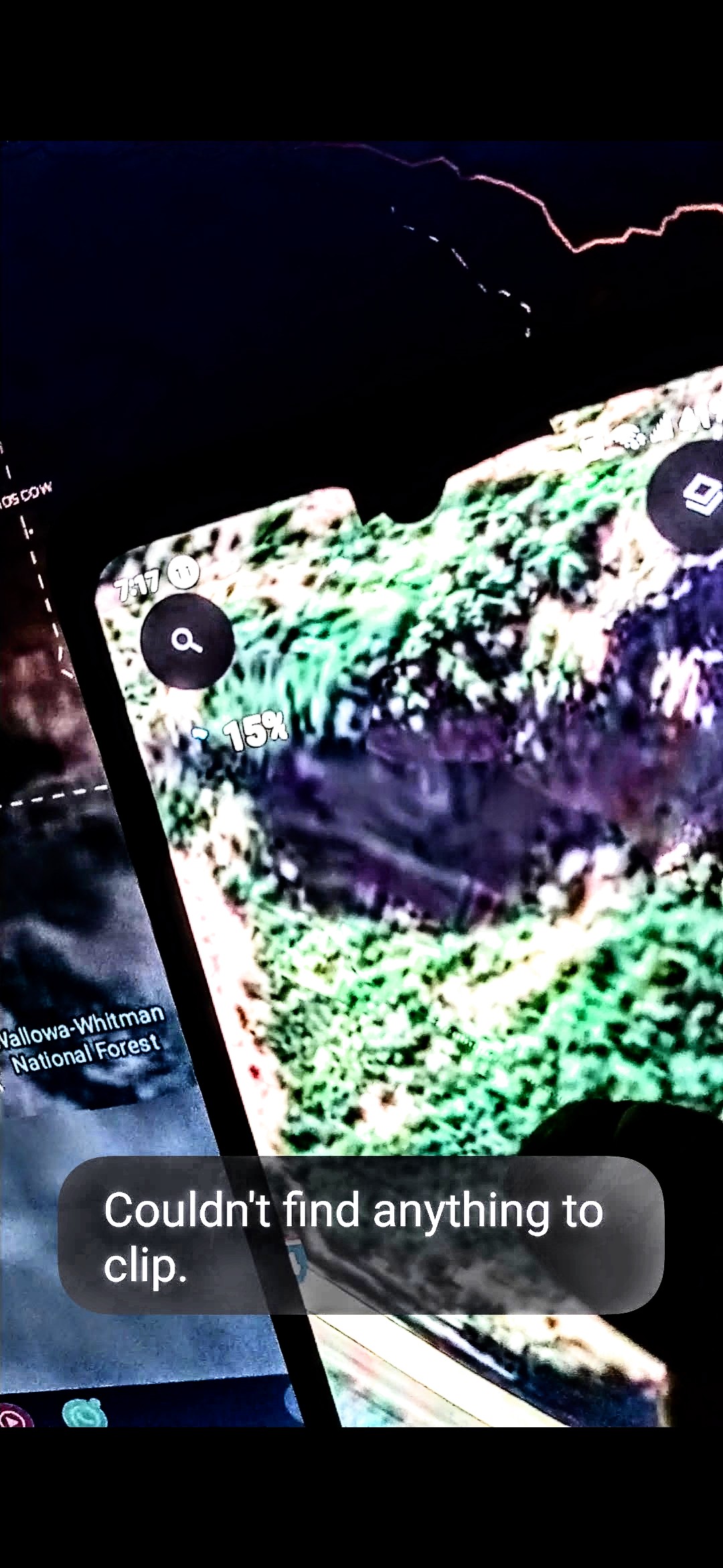
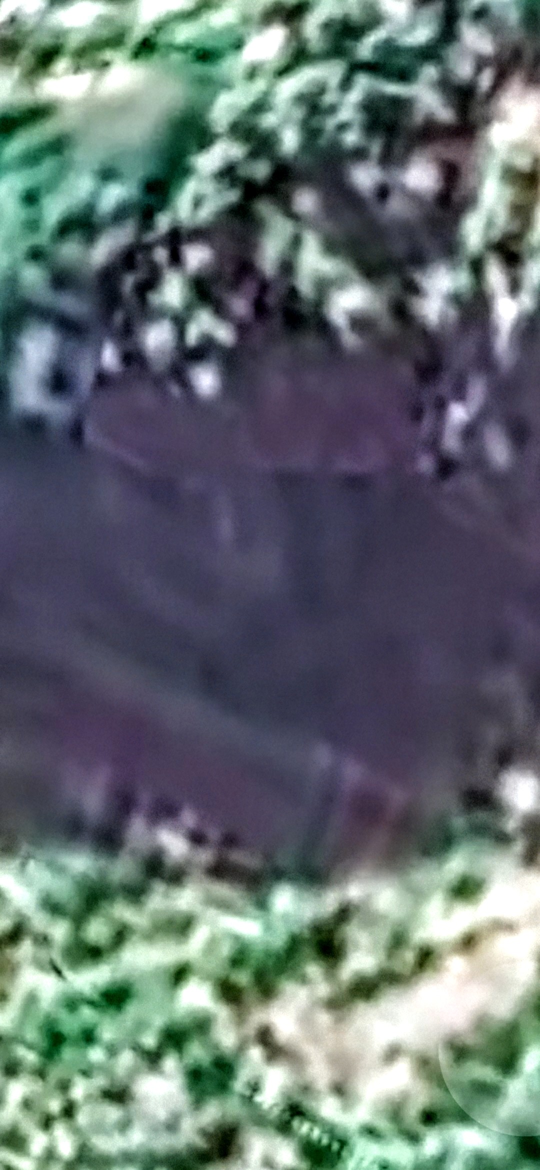
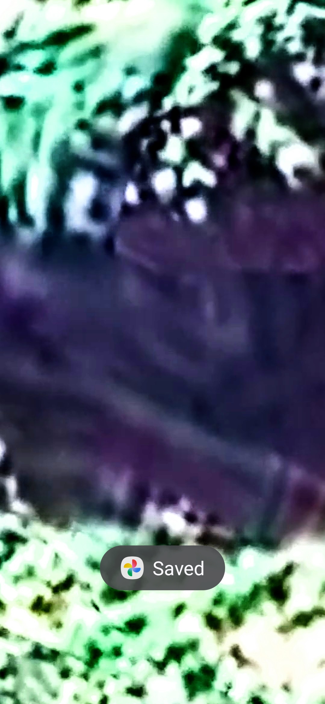
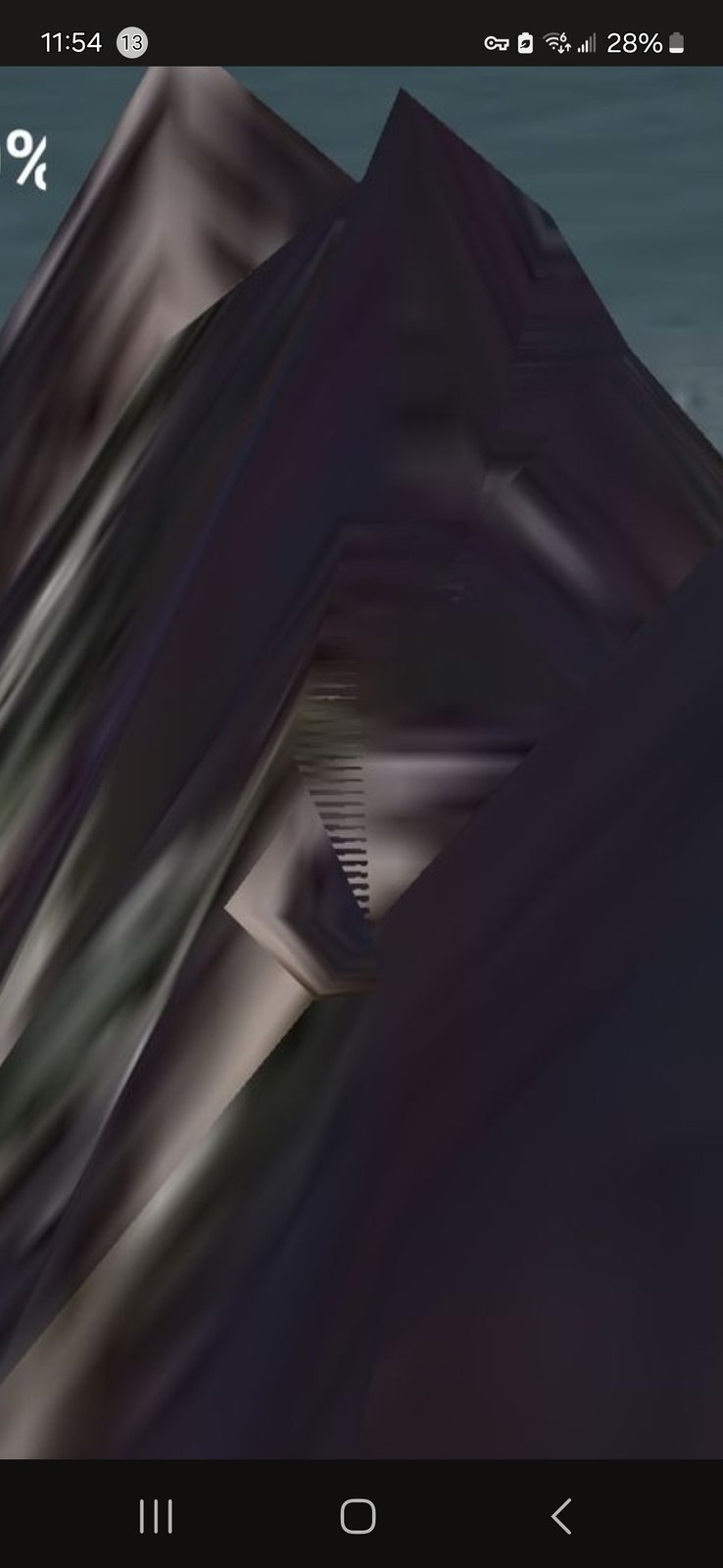
📸 WHAT THE CAMERA CAPTURED — FRAMES #2, #3, #4 (Infrared / Filter Passes): three progressive infrared captures by the Perceiver on the same coordinate. Frame #2 sets the contextual pass (with the surrounding Wallowa-Whitman National Forest map context faintly visible behind the device); frame #3 closer-zooms and the eye begins to resolve faintly; frame #4 (the strongest filter pass) clearly resolves the eye and the adjacent entrance opening. Same formation, three depths of filter — the eye and entrance resolve out of the surface.
👁️ WHAT THE PERCEIVER OBSERVED: the face is not human. The proportions, the eye geometry, and the overall morphology read as non-human / alien physiognomy. An eye is locked into the geometry — and it is watching traffic pass below on I-84 every single day. Beneath the eye, an entrance into the formation is documented through the infrared filter that is invisible to unaided drive-by vision.
🛸 PARKED CRAFT + PULSING CRYSTAL ON TOP (frame #5, from the standby file): resting on top of Mitchell Point is a flying craft. Behind the craft, at its rear, is a pulsing crystal — working terminology, actual nature undetermined per archive-wide protocol. The crystal's positioning relative to the craft is consistent with a power source / propulsion / charging configuration. The craft is parked, not transiting; the crystal is actively powering it up. This places Mitchell Point not just as an installation with interior occupants, but as an active operations site.
👑 CROWN CREST AS THE HEADPIECE (frame #6, from the standby file): on the dorsal surface of the formation — seated directly on top of what reads as the head of the alien face — a distinct crown / crest geometric structure is visible. The geometry does not match natural basalt weathering. The Perceiver reads it as the regalia / headpiece of the alien face itself — installation feature seated on top of the head, not erosion morphology.
📡 NEW WORKING THESIS — COMMUNICATION HYPOTHESIS: the pulsing crystals at Mitchell Point (Oregon side) and at Underwood Mountain (Washington side, directly across the river) are diametrically opposed and are actively communicating with each other. They are not isolated beacons — they are the two endpoints of a working pair, with the Columbia River and the airspace above it as the transmission channel. The Perceiver advances Helium-3 (³He) as a candidate transmission / power medium. Helium-3 is a non-radioactive isotope already studied by mainstream physics as a clean fusion fuel and as a medium for ultra-low-noise sensors and qubits; its presence in lunar regolith and its detection in volcanic outgassing along the Cascade Range make it a non-trivial candidate for the kind of inter-node energy transfer the Perceiver perceives between the two crystals. This hypothesis is falsifiable — mass-spec sampling at either coordinate would confirm or rule out.
🔬 INTELLECTUAL HONESTY — DECLARED UP FRONT: conventional readings would attribute (a) the "face" geometry to pareidolia (the human visual system's tendency to perceive recognizable forms in random basalt morphology), (b) the eye / entrance signature to infrared-filter color-cast and saturation artifacts rather than real structural openings, (c) the "craft on top" silhouette to vegetation or boulder geometry on the dorsal summit, and (d) the "crown crest" to standard talus / outcrop weathering at the summit ridge. Those are all valid baseline hypotheses, acknowledged here up front. The Perceiver lists Mitchell Point on the briefing channel anyway because the four progressive infrared captures resolve consistent geometry across filter depths, and because Mitchell Point sits diametrically across the river from Underwood — the matched-pair geography is the operational anchor.
📣 OPEN INVITATION: USGS geologists for the Columbia River Gorge, the Oregon Department of Geology and Mineral Industries (DOGAMI), U.S. Forest Service Mount Hood National Forest personnel, the AARO, the Congressional UAP Caucus, and independent investigators with portable infrared / multi-spectral imaging or mass-spectrometry capability are invited to navigate to the Mitchell Point coordinate on I-84 east of Hood River and ground-truth the eye / entrance signature and the dorsal-summit craft geometry. A Helium-3 atmospheric / volcanic-outgassing sample at the Mitchell Point ↔ Underwood pair would directly test the Communication Hypothesis. Contact via the credentialed-investigator intake on this site.