UAP Encounters
Direct documentation of Unidentified Aerial Phenomena, reptilian entities, interdimensional beings, portal guardians, submerged craft, and hidden atmospheric installations. International field evidence spanning the Pacific Northwest volcanic corridor, Arctic Greenland, and other global research zones.
Reptilian Entity Encounter - Underwood, Washington
Active Surveillance Documentation
Location: Estey Farm, Underwood Mountain - Pacific Northwest Volcanic Corridor, Washington State
What Occurred: A reptilian humanoid entity was documented actively surveilling and casing the Perceiver's location. This encounter provides direct photographic evidence of reptilian beings operating in the Pacific Northwest region - entities that have been referenced throughout ancient texts and modern UFO research but rarely captured on camera.
Direct Vehicle Encounter: In a brazen act of intimidation, the Perceiver documented a reptilian entity staring directly into the passenger side window of his truck. This close-proximity encounter demonstrates these beings have no fear of human observation and actively conduct surveillance at point-blank range.
Companion Entity: A second non-human occupant was documented riding alongside the reptilian driver in a white Suburban - an entity with crustacean-like arms captured through the rear-view mirror during zoom documentation. These photos confirm reptilians do not operate alone and travel with hybrid companion entities.
⚠️ CRITICAL EVIDENCE: These photographs represent unprecedented documentation of reptilian entity surveillance activity. This is the type of evidence governments actively suppress and deny exists.
Reptilian Entity - Close Documentation
Surveillance Location - Underwood, WA
Field Documentation Site - Entity Monitoring Area
Surveillance Equipment & Location Marker
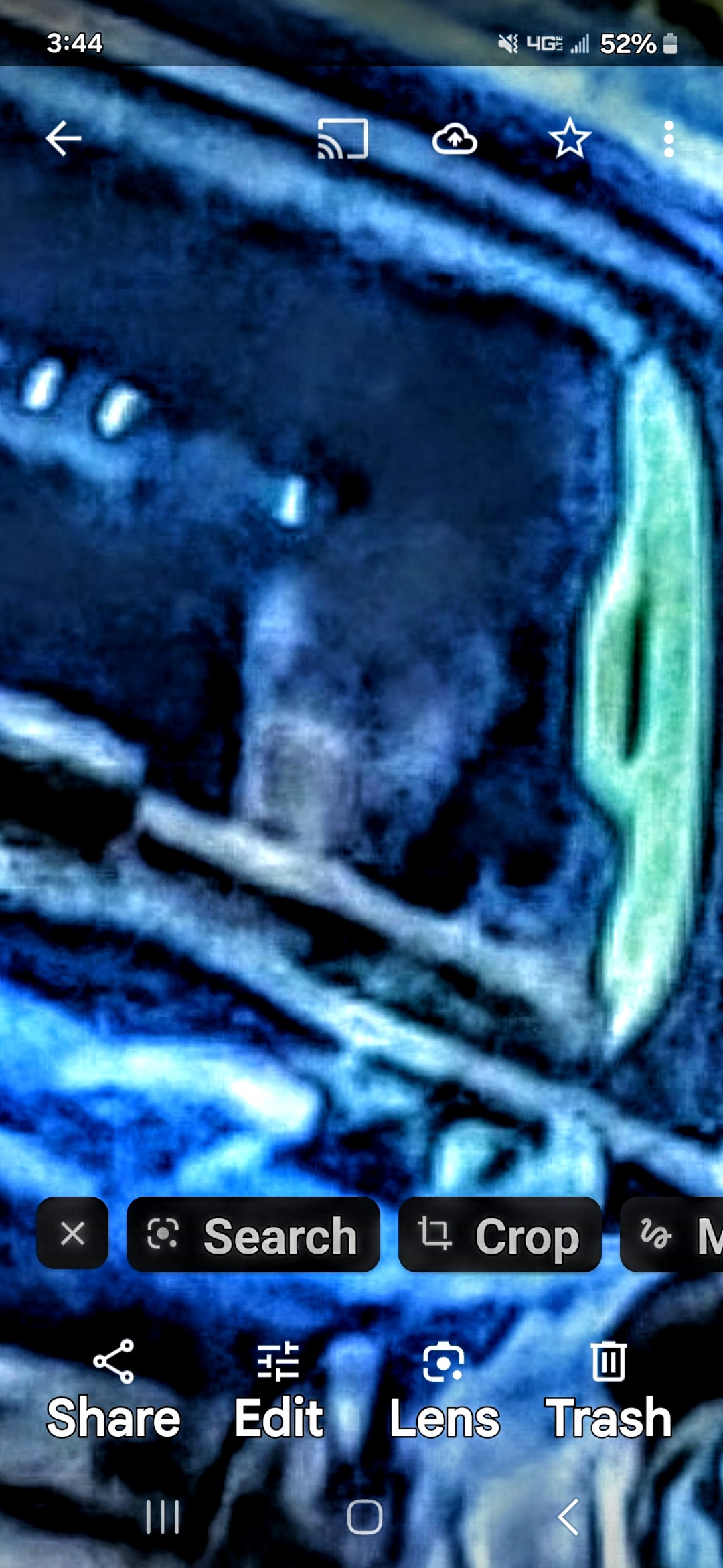
ACTIVE PURSUIT - Reptilian Operating Motor Vehicle (Suburban)
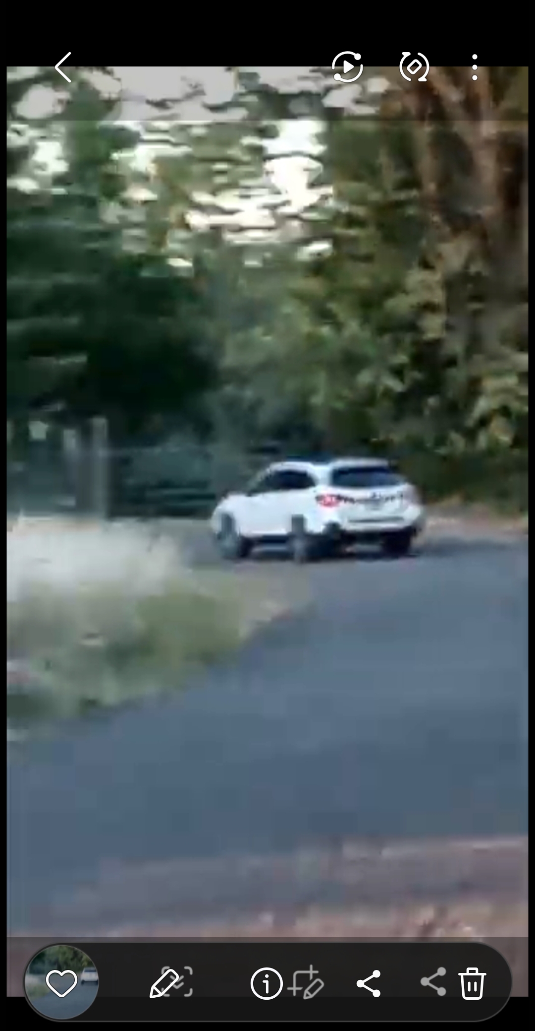
COMPANION ENTITY - Suburban with Non-Human Occupants (Zoomed Documentation)
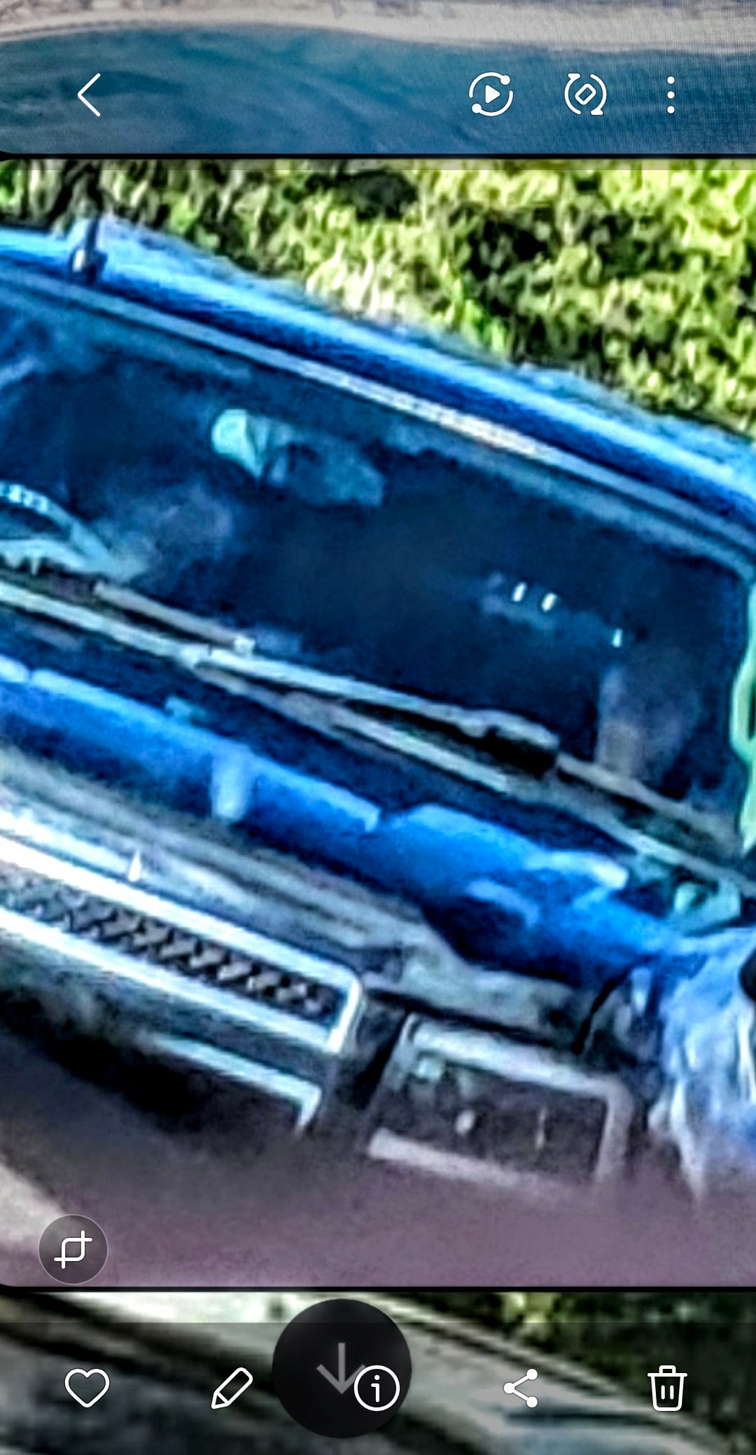
REAR-VIEW MIRROR - Crustacean-Armed Companion (Zoomed Capture)
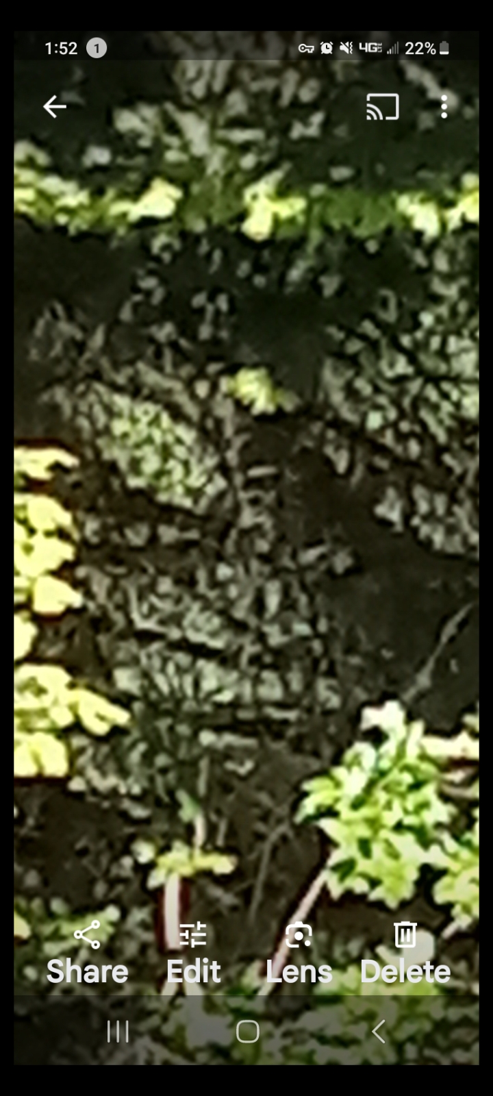
TWO REPTILIANS IN THE WOODS - Male & Female Watching the Perceiver
👁️ Look carefully into the foliage — two reptilian faces are visible: eyes, nose, and mouth of each entity. Male and female pair observing from the trees.
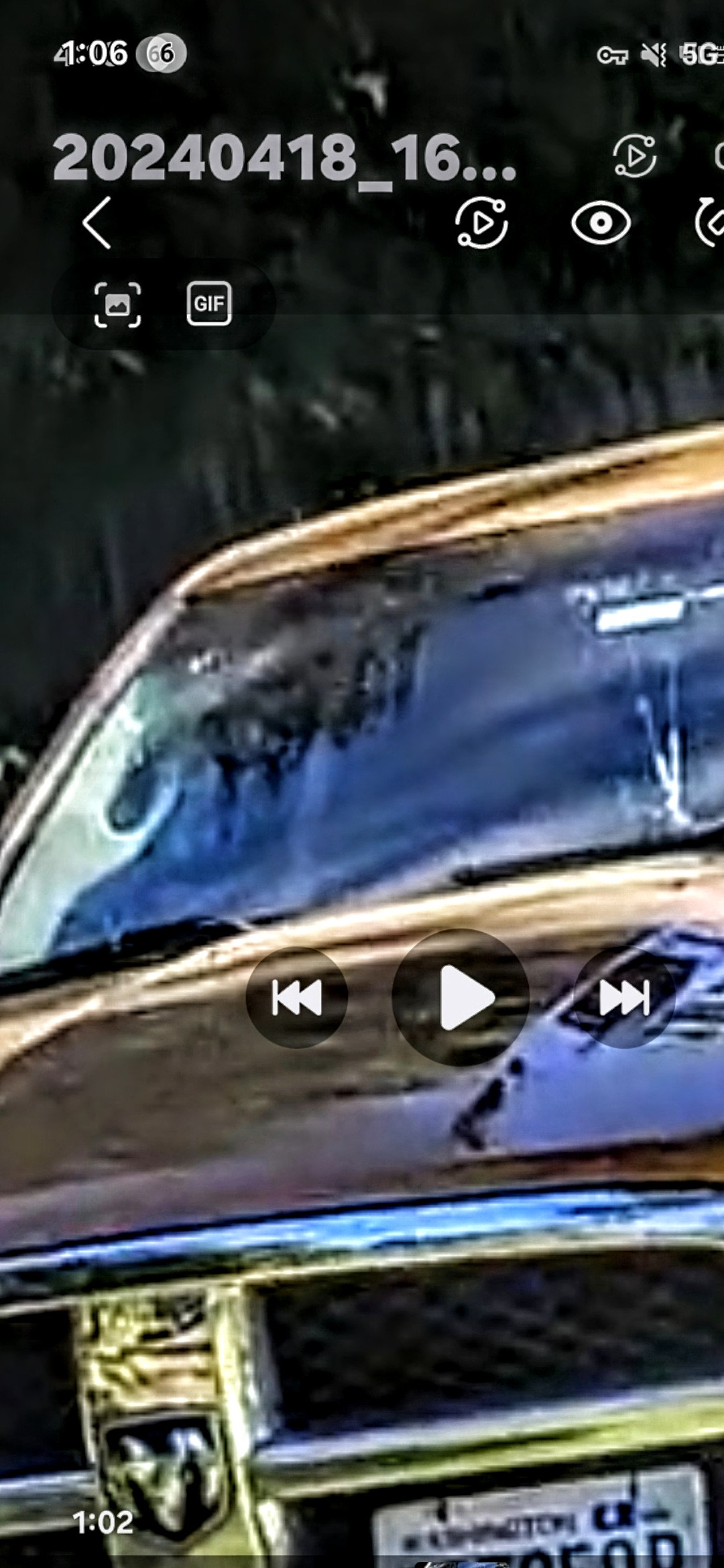
⚠️ DIRECT CONFRONTATION - Entity Staring Into Truck Passenger Window
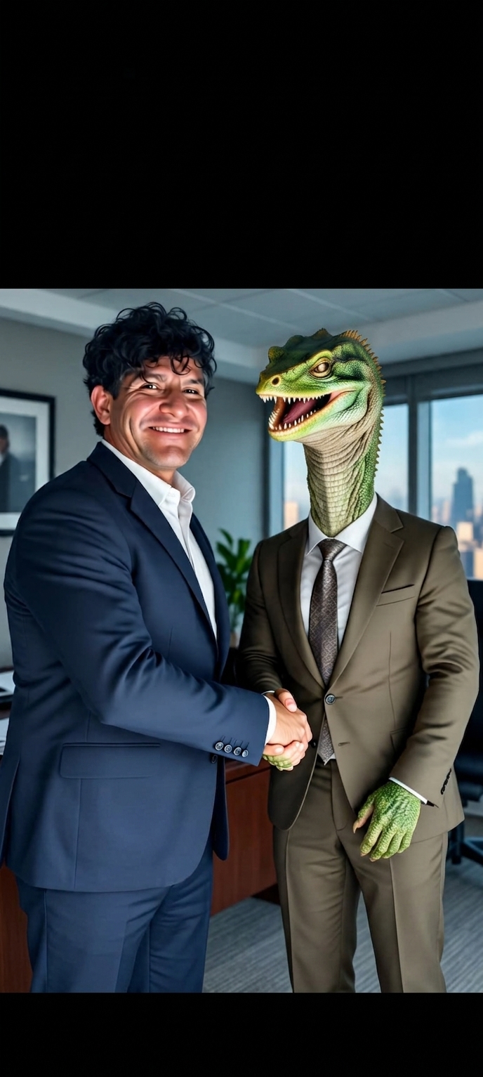
SYMBOLIC REPRESENTATION - "The Hidden Alliance"
🤝 Artistic composite depicting the reality documented throughout this archive: reptilian entities are not myth — they are embedded in business, politics, and institutions, operating in plain sight behind the veneer of normalcy.
⚠️ EMBEDDED IN SOCIETY: Reptilian entities don't just observe from forests - they operate motor vehicles and actively follow/surveil truth-seekers. These photos document a reptilian driving a Suburban with a crustacean-armed companion, demonstrating these beings are embedded within human society, using modern transportation for active pursuit and monitoring operations.
All original encounter documentation by the Perceiver - International field research
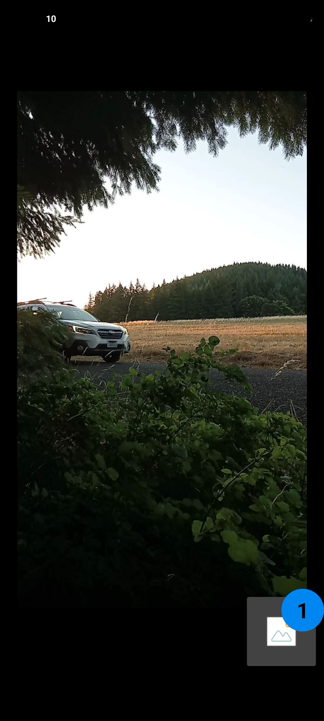
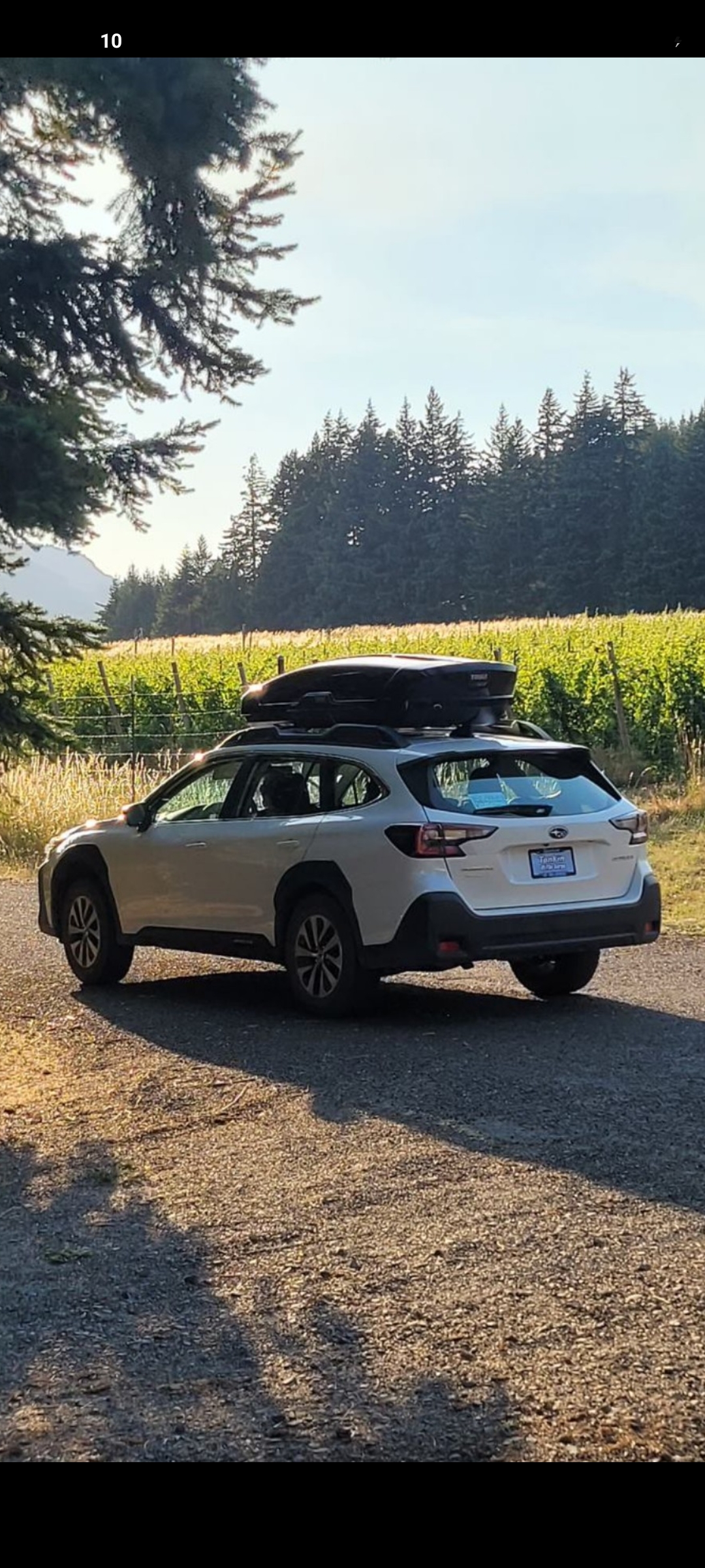
🚗 Reptilian Females in the Subaru — Highway 14 Pursuit
📍 LOCATION: Highway 14, Washington State — along the Columbia River corridor.
⚠️ ACTIVE PURSUIT: The Perceiver was followed in broad daylight by a Subaru carrying multiple female reptilian entities. These were not the larger male reptilians documented in the Suburban surveillance section — these were reptilian females, accompanied by what appear to be intelligent reptilian-class animals traveling with them in the back seat.
🦎 INTELLIGENT NON-HUMAN ANIMALS: One of the entities visible in the back of the vehicle appears to be an alien-looking animal — intelligent, conscious, and aware. It was looking back at the Perceiver through the rear window, making direct eye contact during the pursuit. These creatures are not pets — they are companions or collaborators of the reptilian females, suggesting an organized non-human species hierarchy operating openly on public roads.
📹 VIDEO EVIDENCE: Field footage of this encounter is embedded below — the Subaru actively trailing the Perceiver along Highway 14, with the alien creature visible in the rear of the vehicle.
⭐ FEATURED: Reptilian Females in Subaru — Highway 14 Pursuit (1:26) - Active Surveillance Operation Captured Live
👁️ The Perceiver was actively followed along Highway 14 by a Subaru carrying multiple female reptilian entities and an intelligent alien-class animal in the rear seat. Watch carefully — the back-seat creature can be seen turning to look directly at the camera during the pursuit, demonstrating conscious awareness of being filmed. This footage is the original capture, unedited.
🦎 ALIEN CREATURE IN REAR SEAT — Looking Back Through Rear Window During Active Pursuit (Subaru, Highway 14, WA)
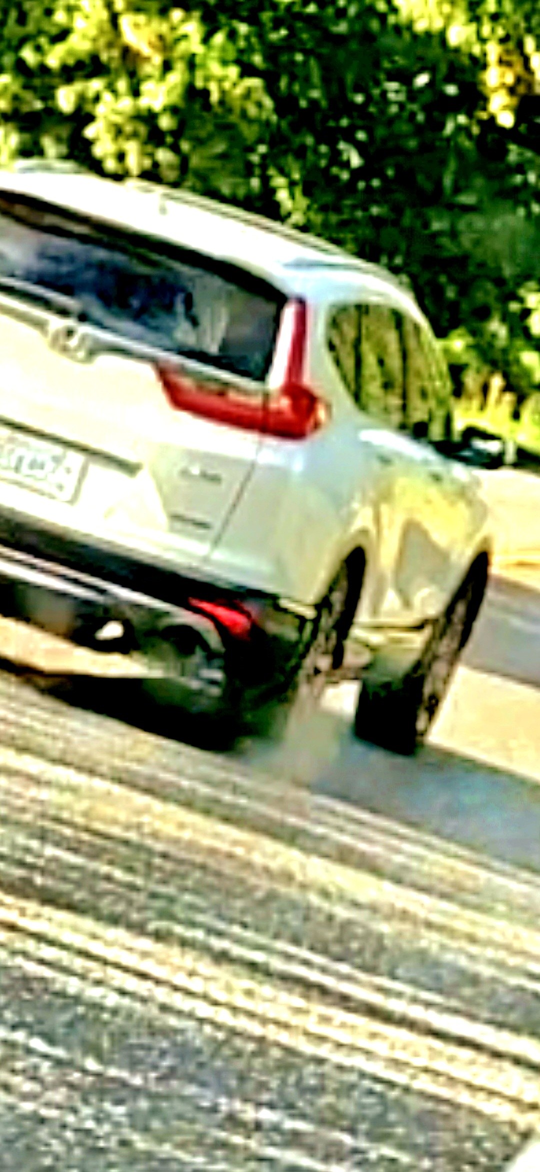
🚗 THE PURSUIT VEHICLE — Carrying the Female Reptilian Entities (Highway 14, WA)
⚠️ SHAPE-SHIFT EVIDENCE — Female Caught Mid-Morph: During the same 1 minute 26 second encounter, the back-seat female reptilian was captured exhibiting three distinct facial configurations in rapid succession. All three captures are presented below — the same entity, the same vehicle, the same moment in time, but visibly different faces.
🔢 NUMEROLOGICAL SIGNATURE — 1:26: The duration of this Subaru pursuit footage is exactly 1 minute 26 seconds — identical to the runtime of the IFS Shape-Shifter video documented separately on this page. The number 1:26 has manifested repeatedly across the Perceiver's field encounters and is being tracked as a recurring divine signature tied to non-human shape-shifting events. This pattern is documented further in the Biblical Numerology section.
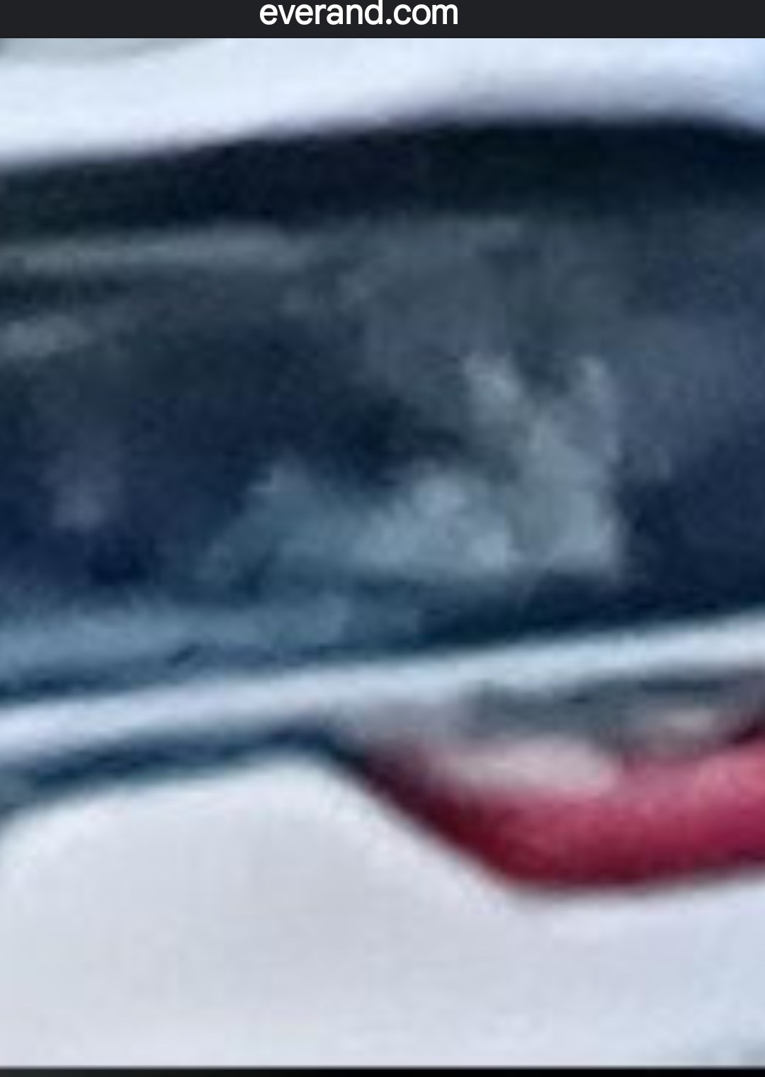
FACE A — Close-Up Capture (First Configuration)
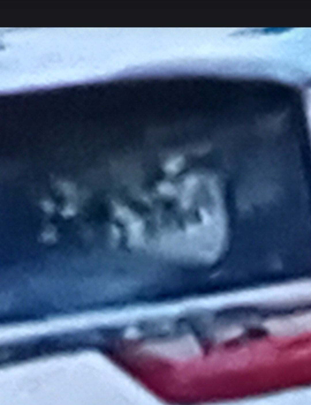
FACE B — Wider Window View / Two Figures Visible (Mid-Morph Sequence)
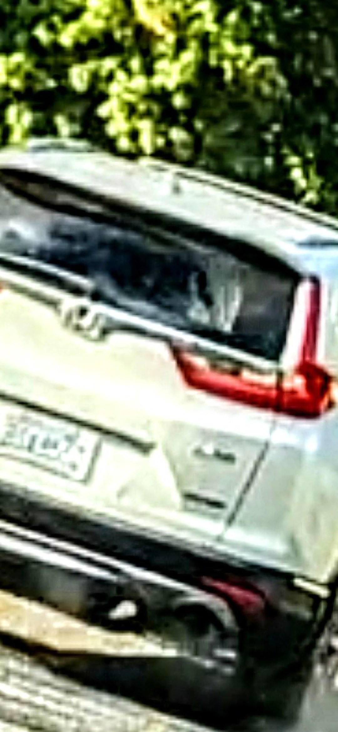
FACE C — Third Configuration / Elongated Silhouette (Final Capture)
📂 DEDICATED FILE: This file documents the female reptilian pursuit pattern. Additional photographs from this same encounter will be added as the Perceiver continues to retrieve them from field storage. Each capture demonstrates that reptilian surveillance of the Perceiver is organized, multi-vehicle, multi-gender, and ongoing.
🌀 INTERDIMENSIONAL PORTAL - The Rock Bridge Formation
⚡ BREAKTHROUGH DISCOVERY: Located at the Estey Farm property, the Perceiver identified this natural rock bridge formation as an active interdimensional portal. This discovery provides the missing piece that explains why this specific location experiences such concentrated paranormal and extraterrestrial activity.
The Connection: This explains the reptilian surveillance - they were monitoring access to THEIR portal. This explains the IFS encounters - craft using the portal for transit. This explains why the Perceiver grew up experiencing phenomena here - lifetime exposure to an active dimensional gateway.
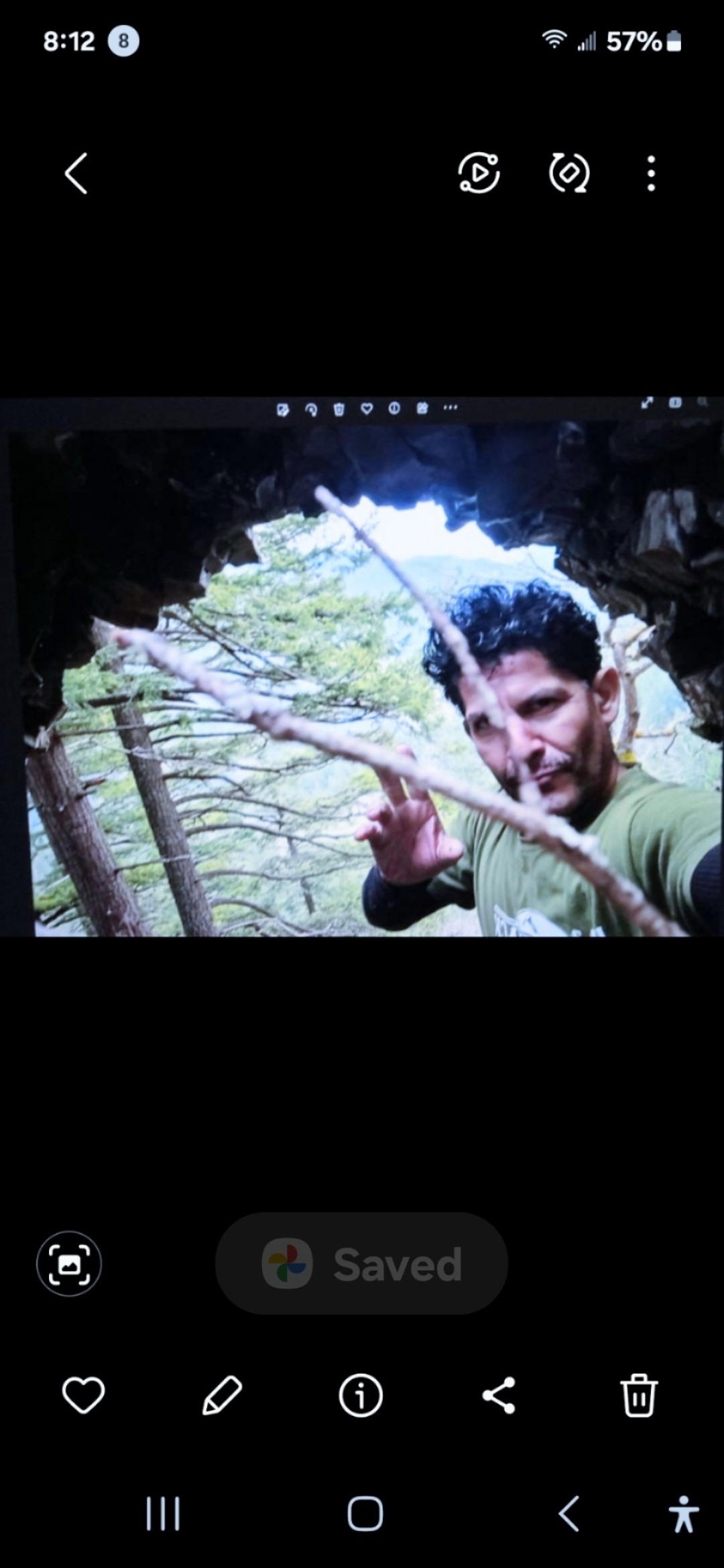
THE PORTAL - Rock Bridge Gateway (Perceiver Inside)
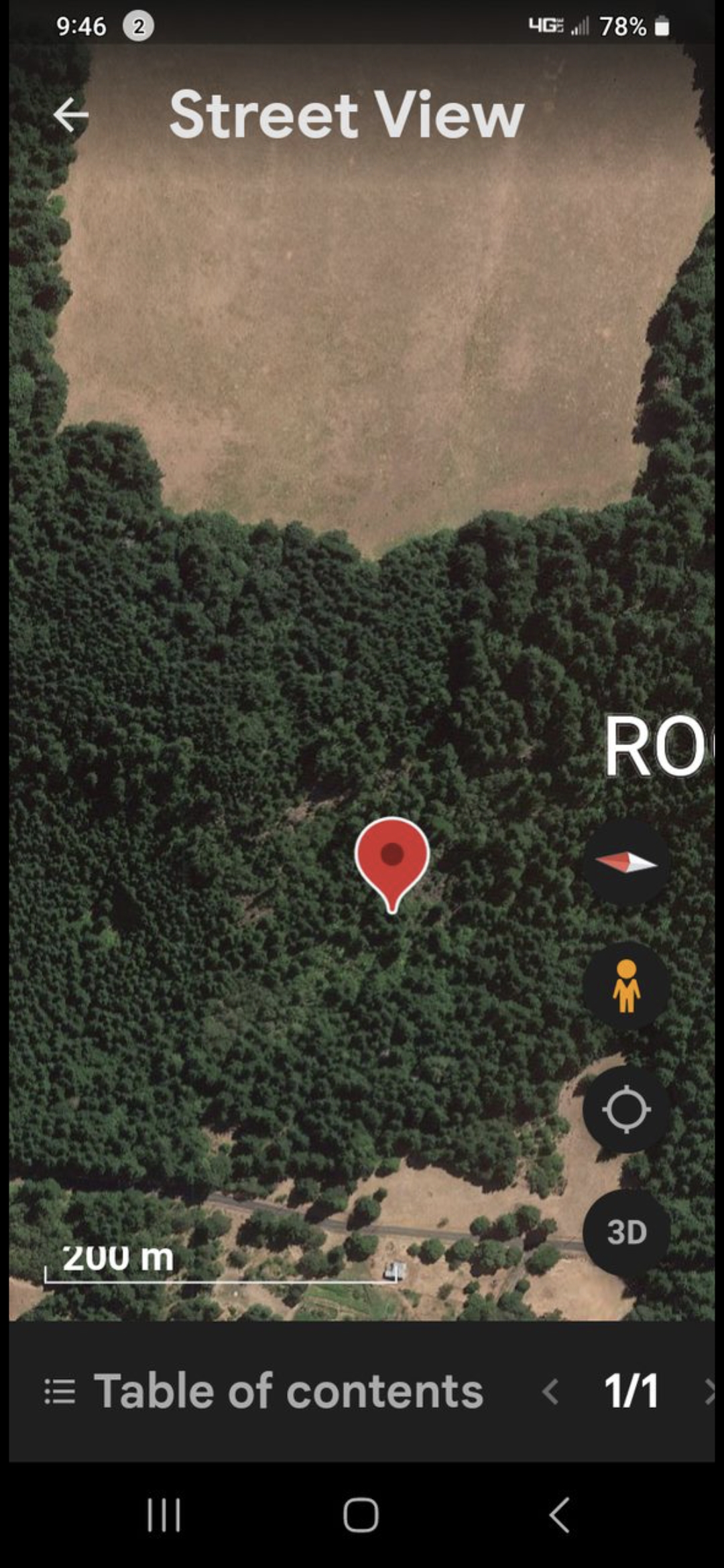
Portal Location - GPS Coordinates in Dense Forest
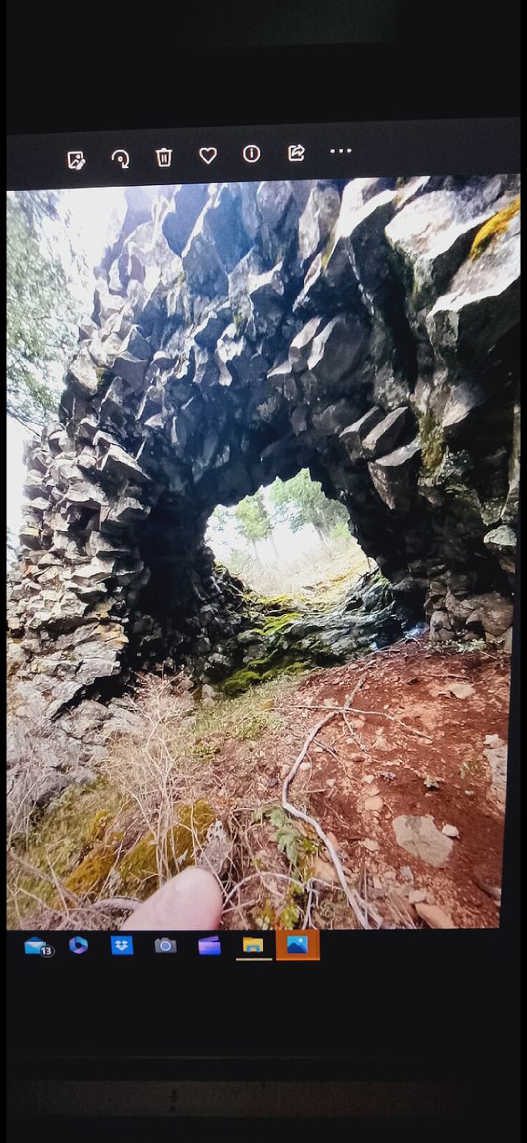
Portal Entrance - Full Rock Bridge Archway
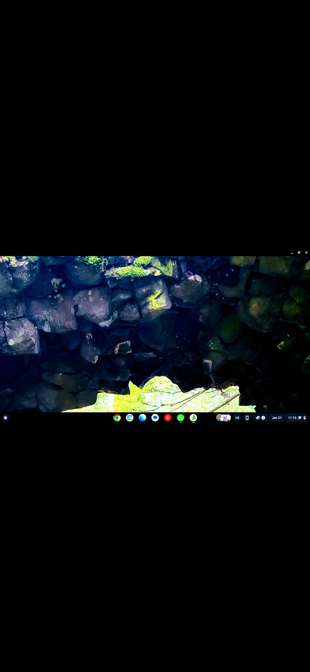
Portal Interior - Darker View of the Stone Walls
👁️ Watcher entities are present but only visible through infrared. Look carefully — they blend into the stone.
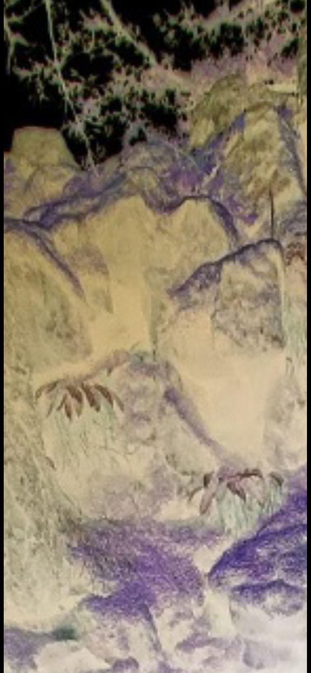
INFRARED CAPTURE - Watchers Embedded in Portal Wall
👁️ Yellow and purple infrared signatures reveal watcher entities — note the claw-like shapes visible on the stone surface that are invisible to the naked eye.
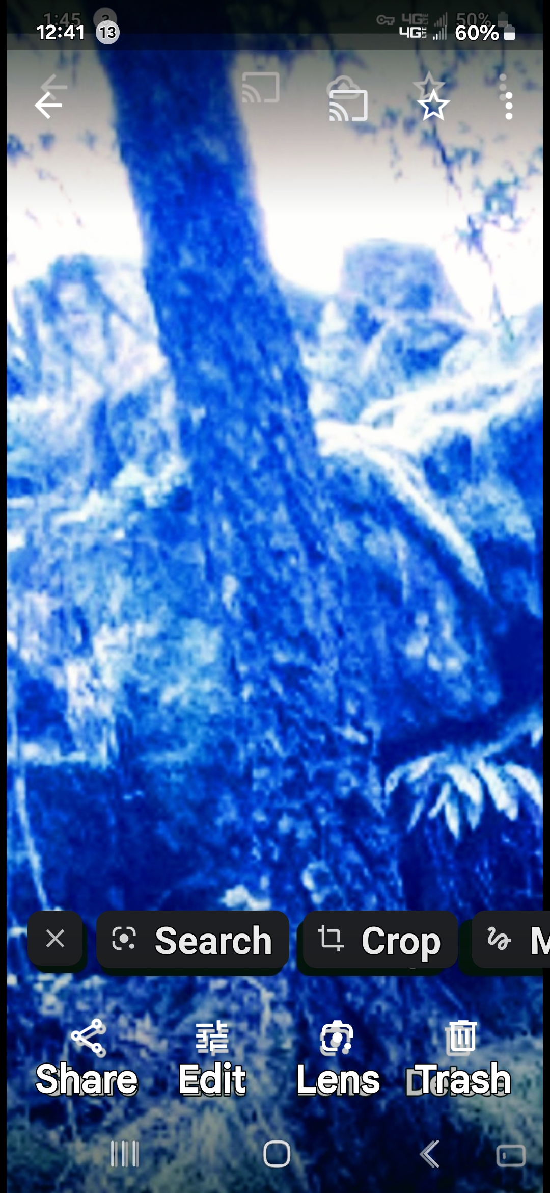
INFRARED - Watcher Concealed in Tree at Portal
👁️ Blue-filter infrared reveals a watcher entity inhabiting the tree near the portal — undetectable to the naked eye.
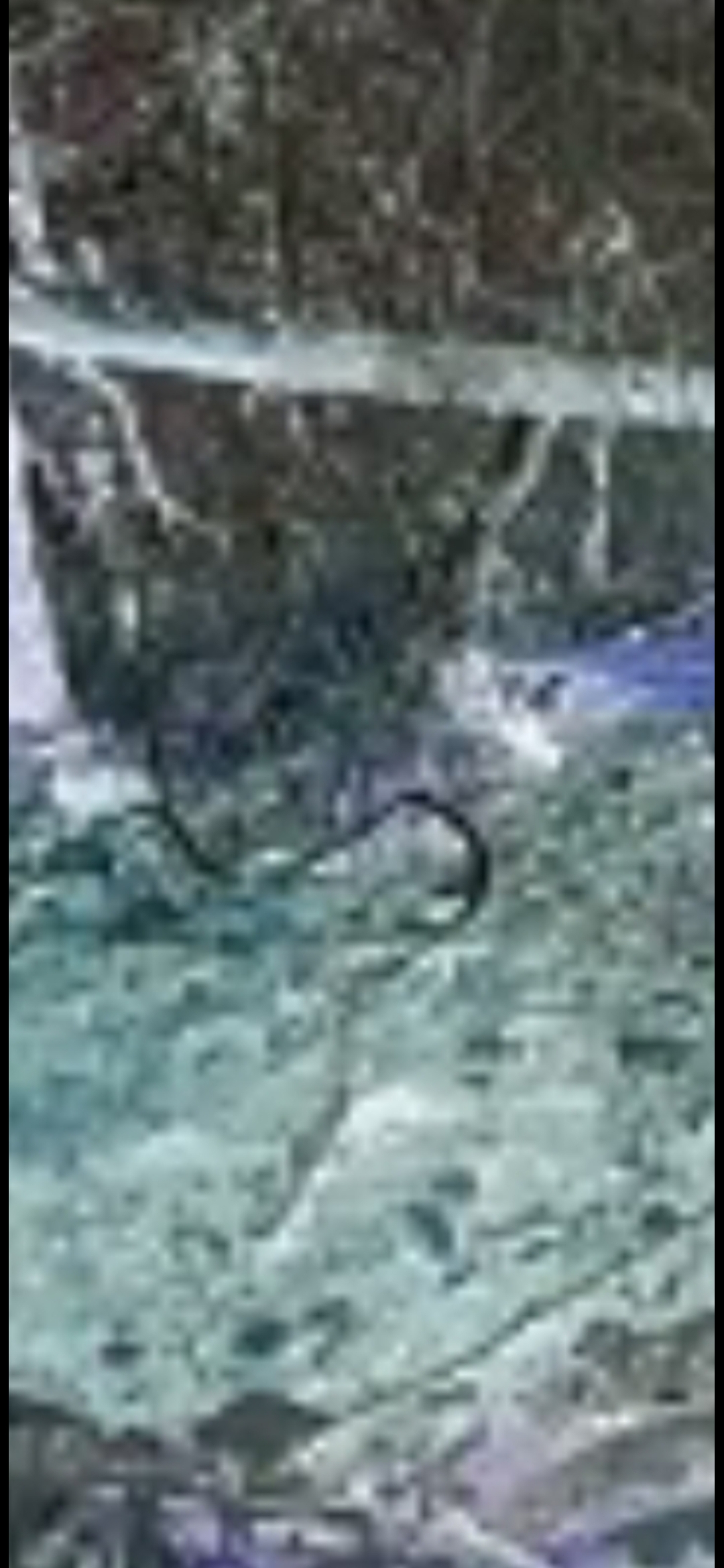
INFRARED CLOSE-UP - Serpentine Watcher Signature at Portal
👁️ Coiled serpentine shape visible in the infrared signature — one of multiple watcher forms documented at the portal site.
⚔️ THE GUARDIANS - Interdimensional Sentries
BREAKTHROUGH EVIDENCE: The portal is not unguarded. Multiple interdimensional entities have been documented stationed at and around the rock bridge formation, serving as sentries and guardians of the dimensional gateway. These beings exhibit surveillance behavior and manifest in various forms - reptilian humanoids, luminescent energy beings, and hybrid entities.
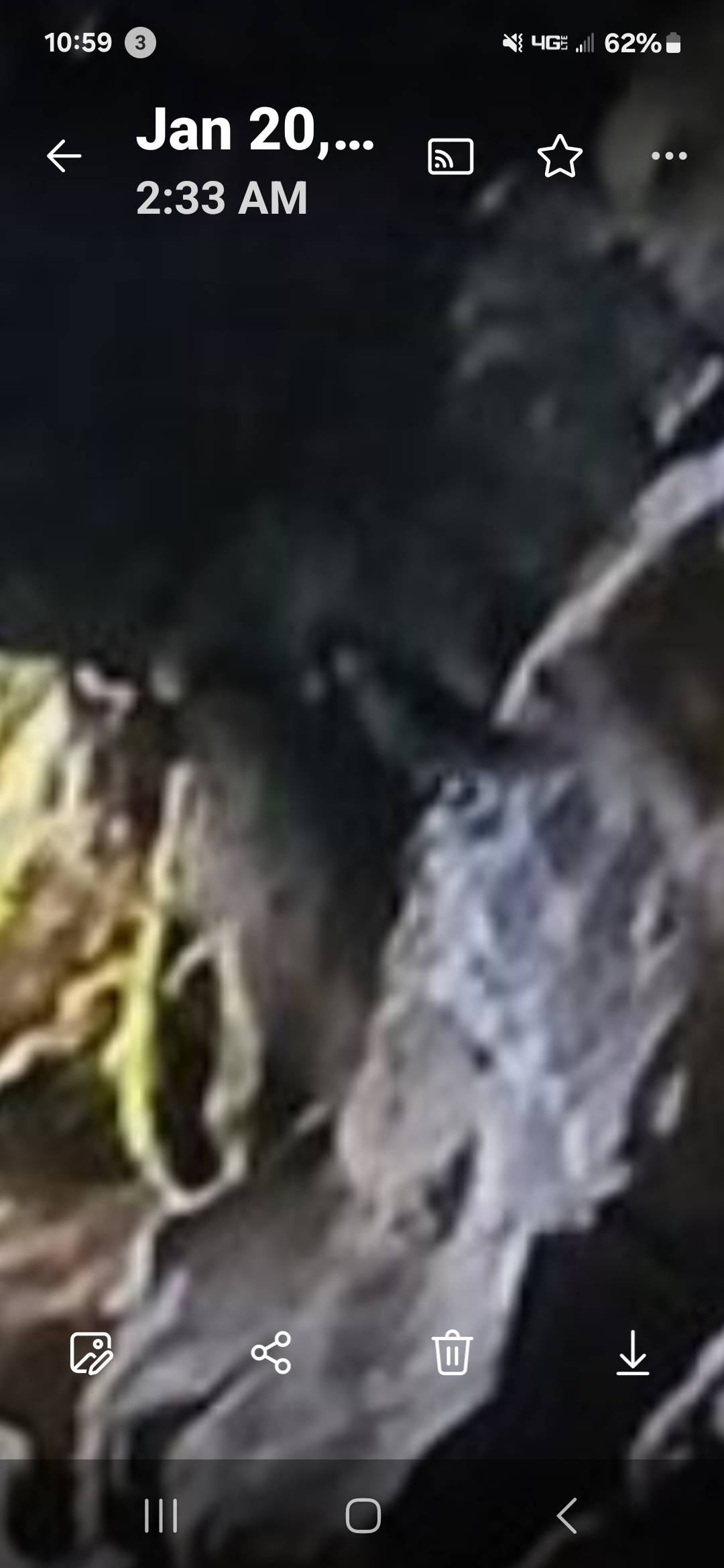
Bird-like Sentinel, Portal Sentinel of Unknown Species Not Native to Oregon or Washington
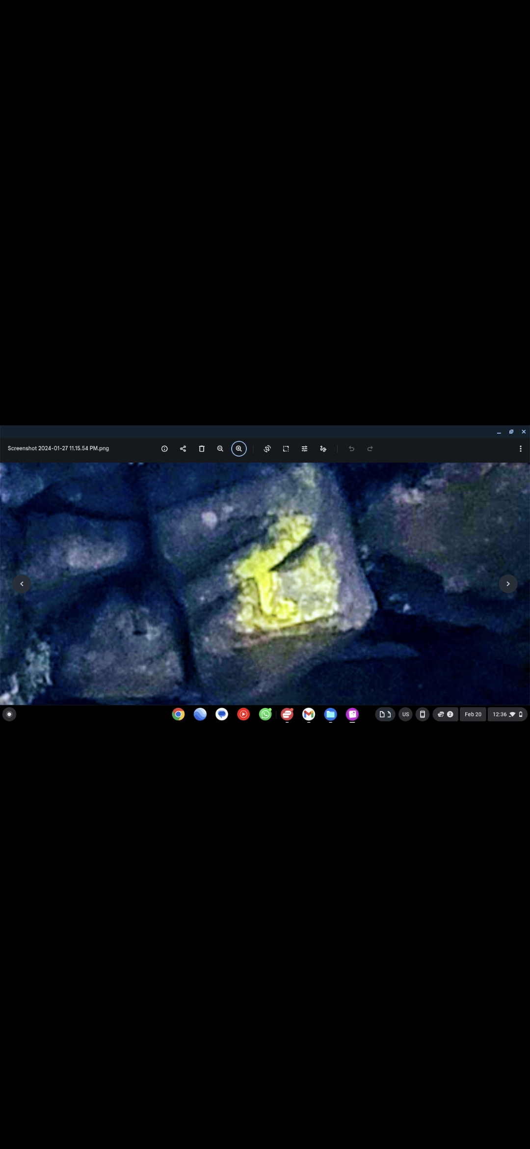
Guardian Entity #2 - Luminescent Form on Volcanic Rock
Guardian Entity #3 - Reptilian Sentry Close Documentation
Guardian Entity #4 - Energy Manifestation / Portal Activation
👁️ Look closely into the blue light — an alien face dimly appears in the background: slanted eyes, triangular-shaped head, and pointy chin.
📍 CONFIRMED: Estey Farm, Underwood Mountain is not just a hotspot - it is a PORTAL ZONE. The rock bridge formation marks the physical location where dimensional barriers thin, allowing interdimensional beings and craft to cross between realms.
Columbia Gorge - Non-Human Watchers
Watchers in the Clouds, the Woods, and the Waterfall
Throughout the Columbia River Gorge, the Perceiver has documented non-human watchers manifesting in multiple natural elements - sky, forest, and water. Unlike the portal guardians tied to the rock bridge, these entities appear embedded in the landscape itself, observing from the clouds, the foliage, and even from behind waterfalls.
☁️ In the Clouds: Two female figures were captured forming within the cloud structures above the Gorge - their features becoming visible through heightened perception and careful photographic zoom.
🌲 In the Woods: A single female watcher was documented standing within the dense forest foliage - her figure merging with the trees in a pattern of natural camouflage.
💧 In the Waterfall: One entity is visible directly in the water, looking straight at the Perceiver. Next to it, a large rock displays two eyes, a nose, and a mouth carved or manifested into the stone itself — a companion face watching from the rock wall.
📸 ORIGINAL DOCUMENTATION: All photographs in this section are original, unedited field captures taken by the Perceiver. No other source is available — these images exist nowhere else.
Watchers in the Clouds - Columbia Gorge Sky (Enhanced Filter)
👁️ Darker filtered version — the woman's face is now clearly visible in the cloud formation.
Cloud Watchers - Additional Angle / Columbia Gorge
Watcher in the Woods - Female Figure Camouflaged in Foliage
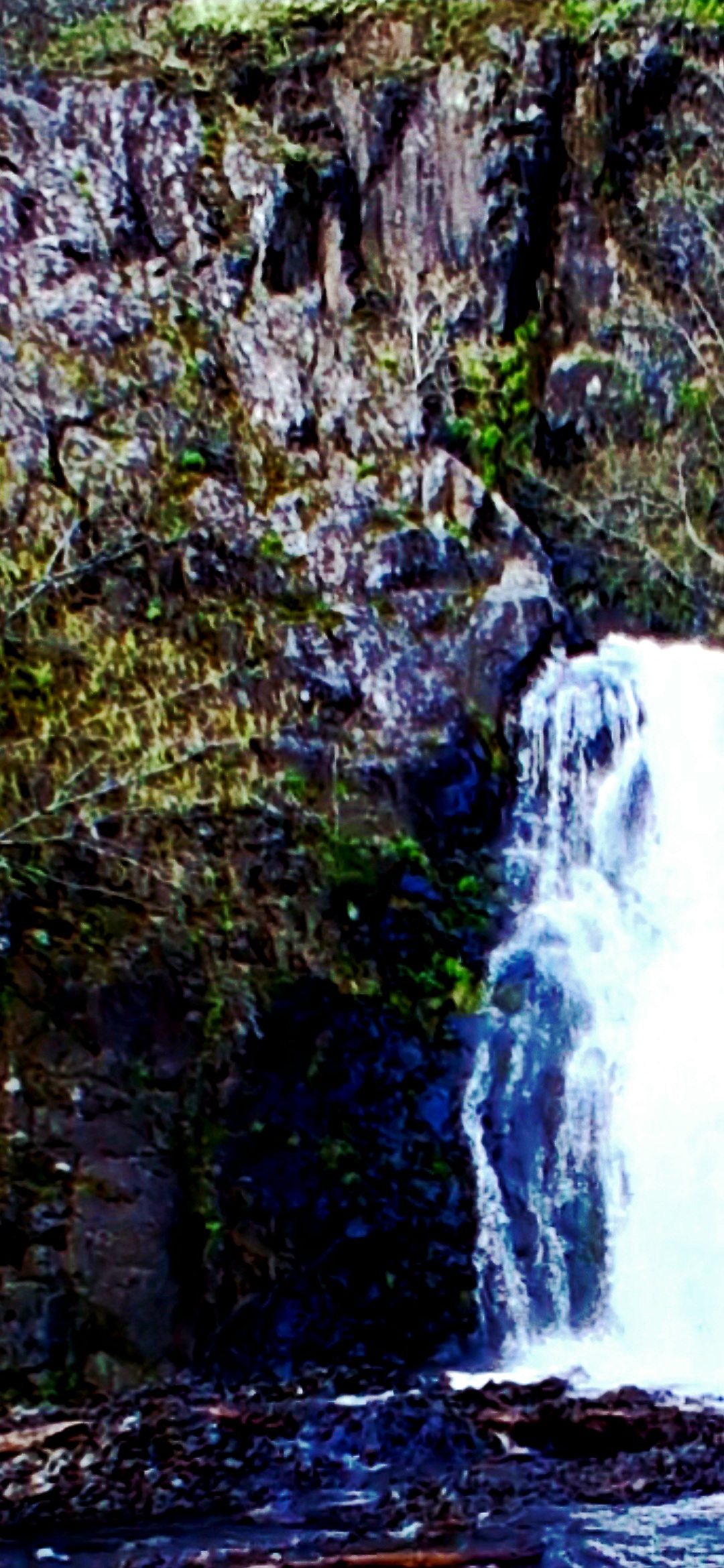
Waterfall Watcher + Rock Face Companion - Columbia Gorge
👁️ One entity stands in the water looking straight at the Perceiver. To its side — a large rock displays two eyes, a nose, and a mouth manifested in the stone itself.
All original pictures taken by the Perceiver — Columbia River Gorge field documentation. No other source available.
👹 THE IFS CREATURE - Interdimensional Flying Shape-Shifter
⚠️ NOT A DRONE - IT'S A LIVING CREATURE: The IFS (Interdimensional Flying Shape-Shifter) is NOT mechanical technology - it is a living, conscious entity capable of shape-shifting at will. Video documentation captures this creature morphing through over 50 different forms, conclusively proving it is a biological interdimensional being, not any form of human-made craft.
🗿 THE ROCK BRIDGE WATCHER: Most remarkably, the rock bridge portal displays a yellow mossy biological growth formation embedded at the center top of the structure that has taken on the shape of a face — a Watcher entity. This is NOT an IFS imprint; it is a distinct watcher entity fused with the portal's stone, suggesting either the entity influenced the biological growth or the growth itself is an extension of the entity guarding the gateway.
👥 Shadow Demon Forms: At the bottom of the bluff near the portal, a house in the woods exhibits a myriad of demon-like flying shadow creatures that strongly resemble the IFS. These shadow forms appear to be either juvenile IFS entities, variants of the species, or the IFS manifesting in multiple simultaneous forms.
📖 Full Documentation: Complete analysis of the IFS creature, its 50+ documented shapes, behavioral patterns, and relationship to the portal system is detailed in ORIGIN: The Perceiver by Benigno Kelso G.
🎬 VIDEO DOCUMENTATION: Watch the IFS creature in action - blue-filtered infrared footage capturing the entity's shape-shifting capabilities and interdimensional nature.
⭐ FEATURED: IFS Shape-Shifter - Full 1 Minute 46 Second Documentation (Filtered - Lighter IFS Against Dark Background, Flying Left-to-Right)
⭐ IFS Shape-Shifter — Blue Filter Capture - Alternate Color-Spectrum Documentation of the Entity in Flight
⚡ THE FLASH MOMENT — Direct Contact Window (Green Filter, 8s) - The Exact Second the IFS Flashed the Perceiver
👁️ Tight-window capture isolating the moment of acknowledgment. The IFS approached the Perceiver and emitted a deliberate luminous burst directly at him. This was not a passive flyby — this was contact.
⚡ THE FLASH — Full Encounter Sequence (Green Filter, 1:02) - Extended Documentation of the Direct-Contact Event
👁️ The complete 1 minute 2 second sequence of the encounter with the IFS's flash clearly visible. Green filter applied to amplify the entity's light emission. Watch the buildup, the approach, and the deliberate luminous burst delivered directly toward the Perceiver.
🔊 IFS IN SLOW MOTION WITH SOUND - Grunting Vocalizations Captured (Filtered Version)
👁️ Filtered slow-motion playback of the IFS. Listen carefully — the creature emits grunting vocalizations that are only audible when the footage is slowed down. In real-time the sound is imperceptible. The Perceiver discovered through heightened perception that slowing the footage reveals acoustic signatures the creature emits high in the sky — confirming the IFS is a living, breathing biological entity, not a drone or craft.
2010 COLUMBIA GORGE MOUNTAIN - Open Mouth Shooting Out / Original Field Footage
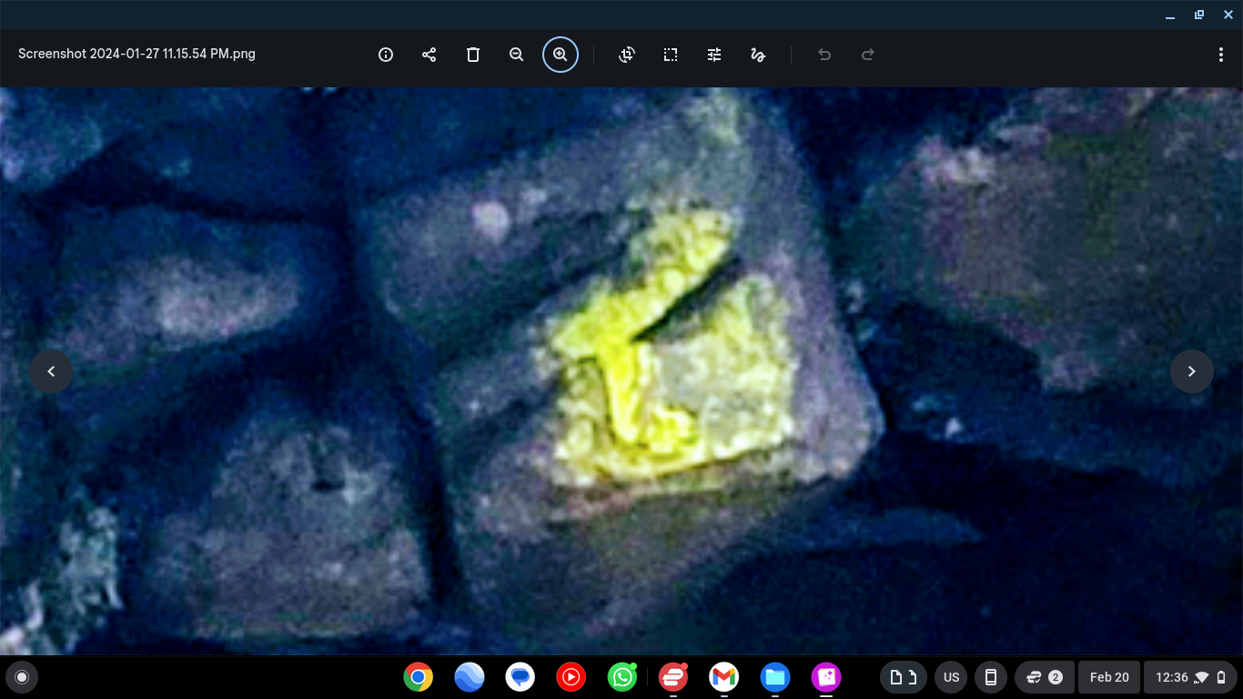
🟡 WATCHER FACE — Yellow Mossy Entity Embedded at Center Top of the Rock Bridge Interdimensional Portal
Shadow Demon Forms - Multiple IFS-Like Entities Swarming
Luminescent IFS Forms - Shape-Shifting Documentation
IFS Morphing Sequence - Single Entity Transformation
Dark Claw Forms - Demon-Like IFS Manifestations
IFS ABODE - House at Bottom of Bluff (Creature Habitat)
UAP Close Encounter - Bridge of the gods
Guardian UAP at Oregon/Washington Border
Location: Bridge of the gods, Cascade Locks - Oregon/Washington State Border
Distance: Within 10 feet - One of the closest documented UAP encounters on record
The Encounter: This brilliant blue cylindrical UAP was stationed as a guardian at the entrance to the Bridge of the gods, a strategic location over the Columbia River Gorge. When approached, the craft actively flew directly toward the witness in what appeared to be a defensive or territorial response.
Significance: The UAP's guarding behavior suggests the Bridge of the gods location marks an entrance to underground/undersea base systems. The Columbia River Gorge beneath this bridge serves as a major transit route for USOs and provides access to subterranean facilities.
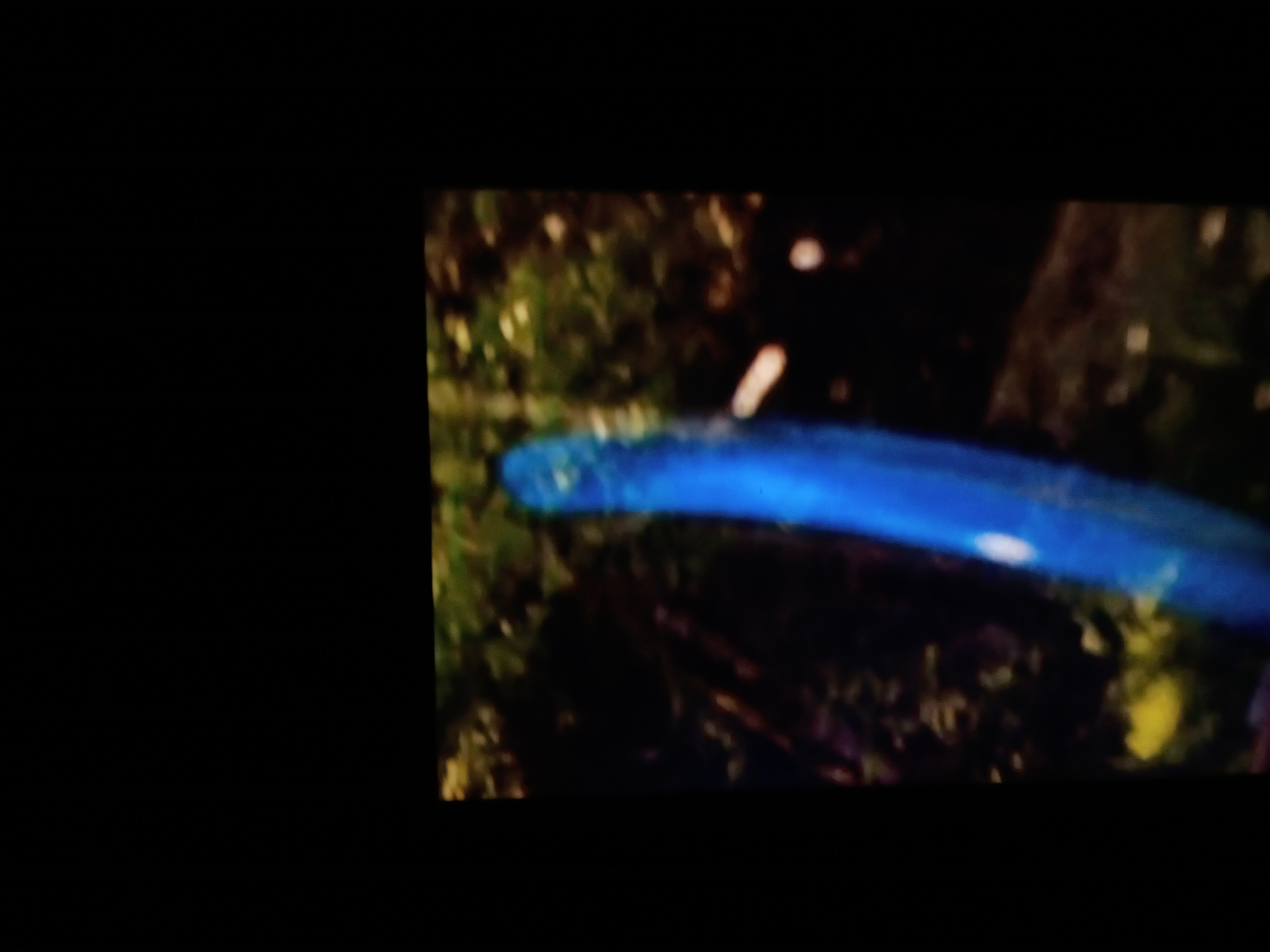
Defensive Approach - UAP Flying Toward Witness
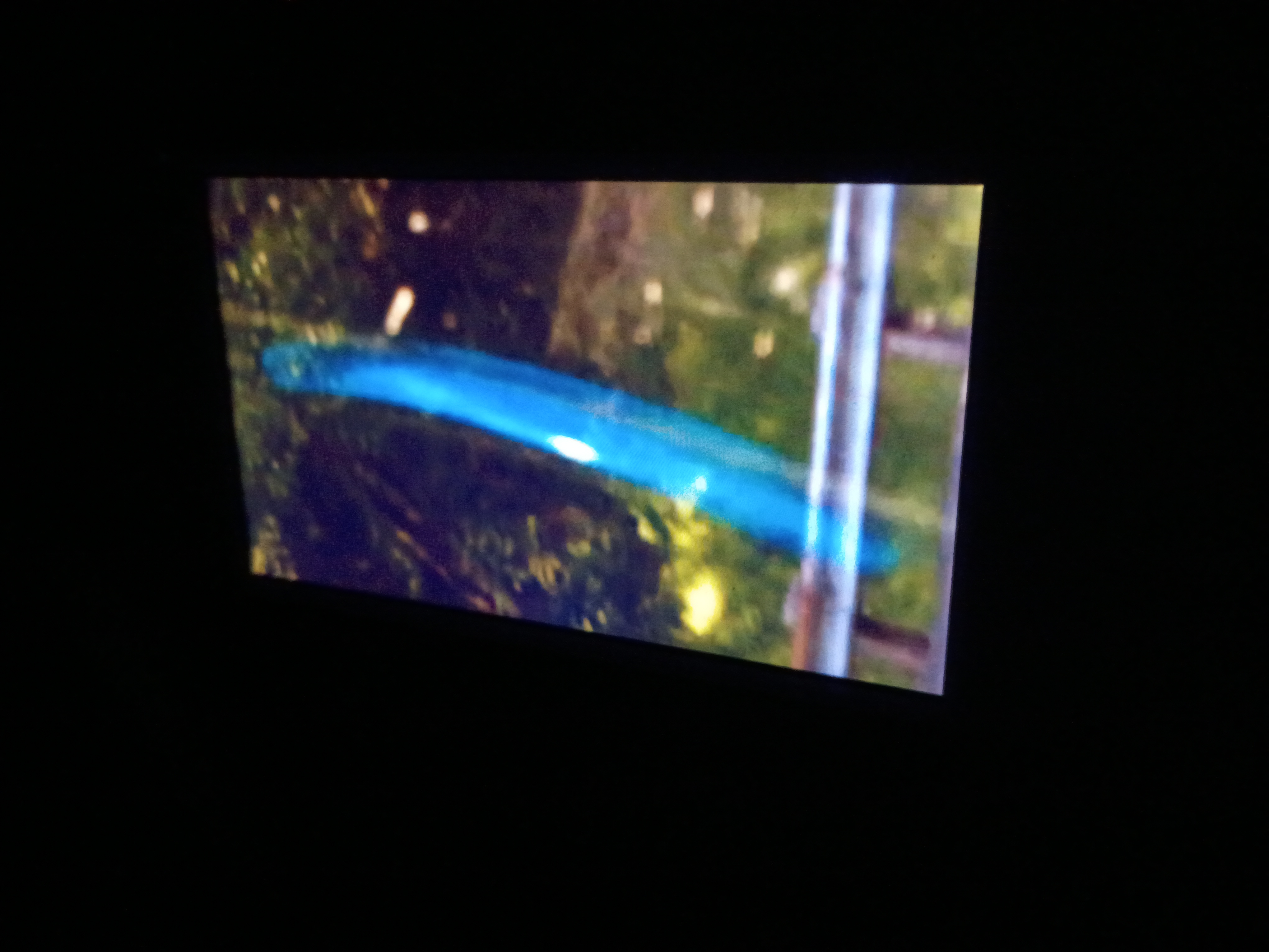
Portal Guardian - Columbia River Gorge Access Point
🔍 LUMINOUS CLOSE-UP — Energy Body Detail (Plasma Signature)
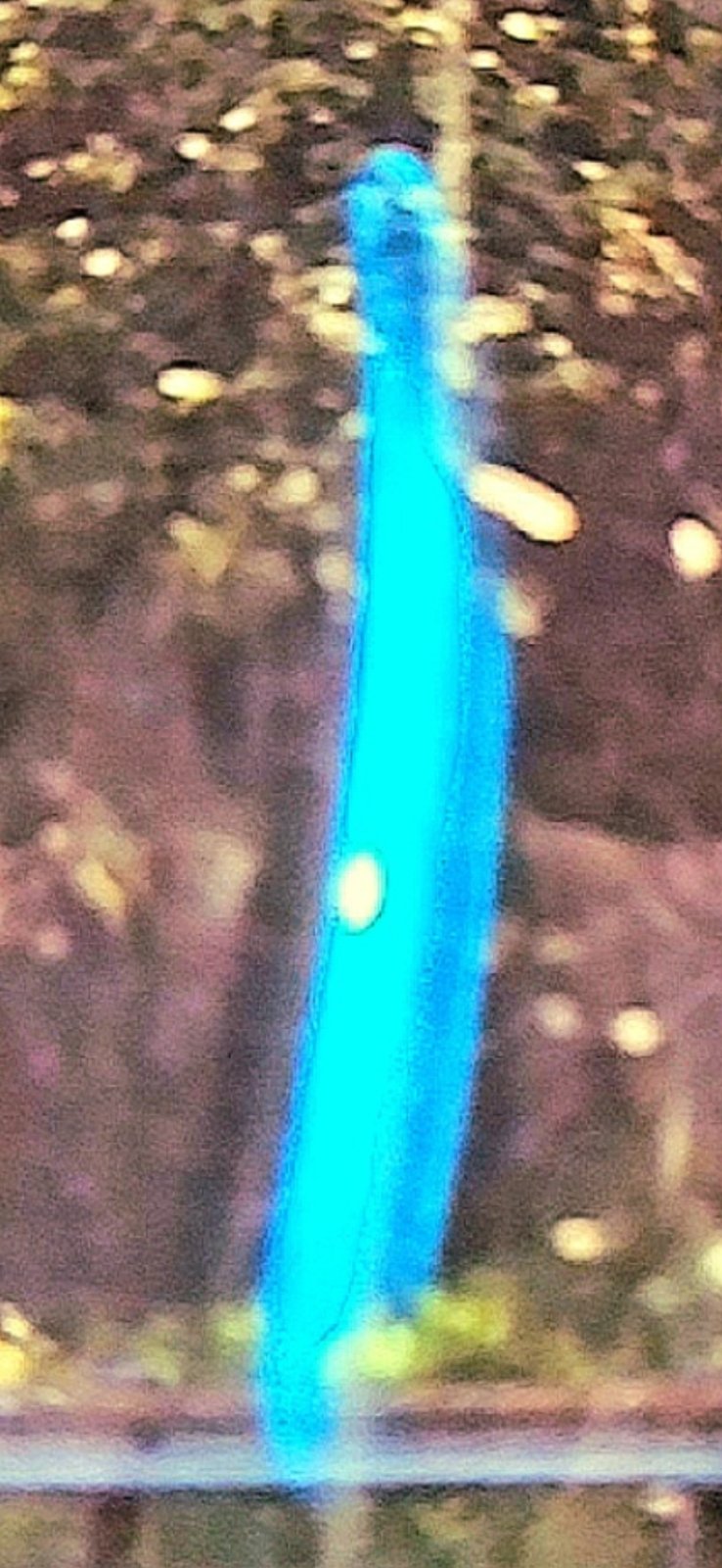
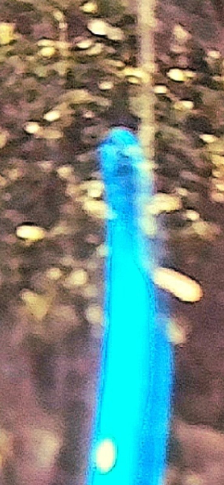
🔄 SHAPE-SHIFT #1 — Slender column, head silhouette emerging at top
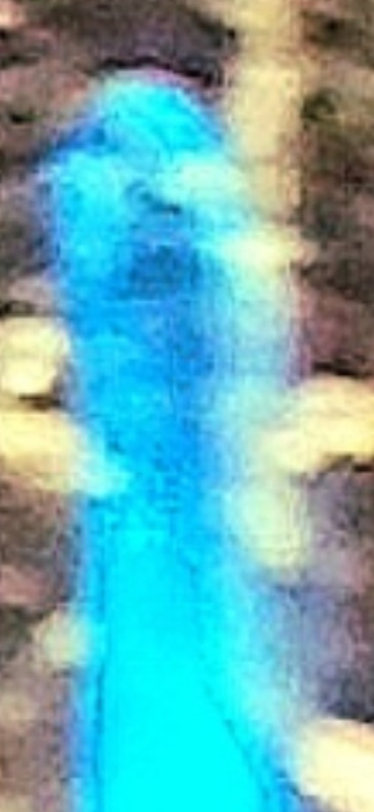
🔄 SHAPE-SHIFT #2 — Head pronounced, arm extensions forming on either side
🎯 SHAPE-SHIFT #3 — Extreme zoom: the FACE fully manifested in the plasma
Triangular Transparent Glass UAP - Not a Saucer, Clear Glass Craft
👁️ This craft is not metallic or saucer-shaped — it is a fully transparent, clear-glass triangular flying vehicle. Look for the triangular geometry outlined in the image.
⚠️ CRITICAL EVIDENCE — VISIBLE SHAPE-SHIFT SEQUENCE: The three SHAPE-SHIFT frames above document the Blue UAP actively morphing its form in real time — from slender luminous column → head and arms emerging → fully manifested face. This is direct, sequential evidence of interdimensional / shape-shifting capability that no known human-made drone technology can replicate.
All original research and documentation by the Perceiver - International field investigations
UAP Over the Ocean - Greenland Coast
Four Pulsing Dots Off the Coast of Greenland
📍 Location: Open ocean off the coast of Greenland - Arctic waters
The Evidence: Four pulsing dots captured hovering in formation over the ocean off the Greenland coast. These luminous points appear stationary over the water, displaying the same energy-signature behavior documented in Pacific Northwest crystal-beacon locations.
Global Significance: This international field documentation confirms that UAP activity is NOT regional — the phenomenon extends far beyond the Pacific Northwest volcanic corridor into Arctic waters. Greenland's remote coastline, largely unmonitored and situated along major polar routes, serves as another operational zone for these craft.
Pattern Recognition: The four-point formation and pulsing behavior observed here mirrors patterns documented at Rock Creek, Columbia River Gorge, and Mount Saint Helens — suggesting a consistent global signature used by these non-human craft regardless of hemisphere.
🌊 Four Pulsing Dots - Open Ocean Off the Coast of Greenland (Original Field Documentation)
🟦 GREENLAND PULSING COLUMN (0:46) — A second pulsing capture from the Greenland field — a large vertical column exhibiting the same internal pulsing/flowing motion documented at the four-dots location and across the Pacific Northwest crystal-beacon sites.
🔬 INTELLECTUAL HONESTY — On the Term "Crystal": The Perceiver uses "pulsing crystal" as working terminology across this archive — but the actual nature of these pulsing phenomena is not yet known. The Underwood Mountain capture displays a clear crystalline geometry; this Greenland column does not. It could be a crystal, a radiation/energy emission proceeding out of the ground, a plasma column, or another class of phenomenon entirely. What unifies these captures is the internal pulsing, flowing motion — the same signature that, by the Perceiver's field protocol, indicates a camouflaged craft drawing or projecting energy nearby. The classification is held open until further evidence resolves it.
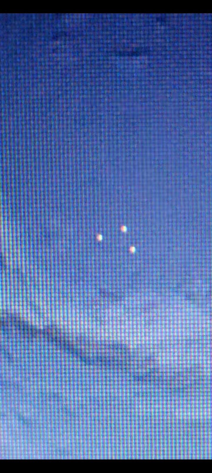
Three of the Four Dots Caught Mid-Pulse — Greenland Coast (Fourth Dot Out of Phase at Capture)
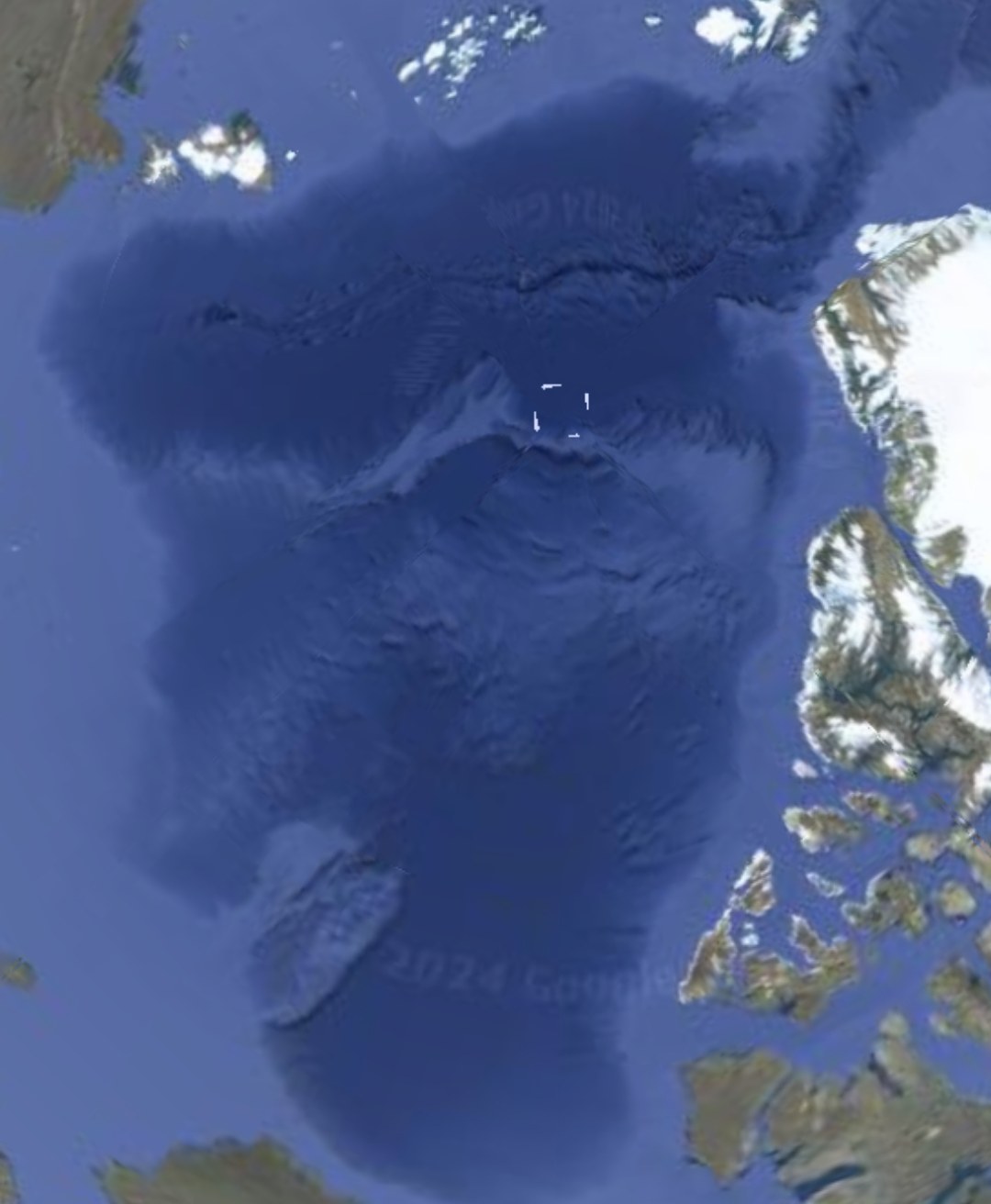
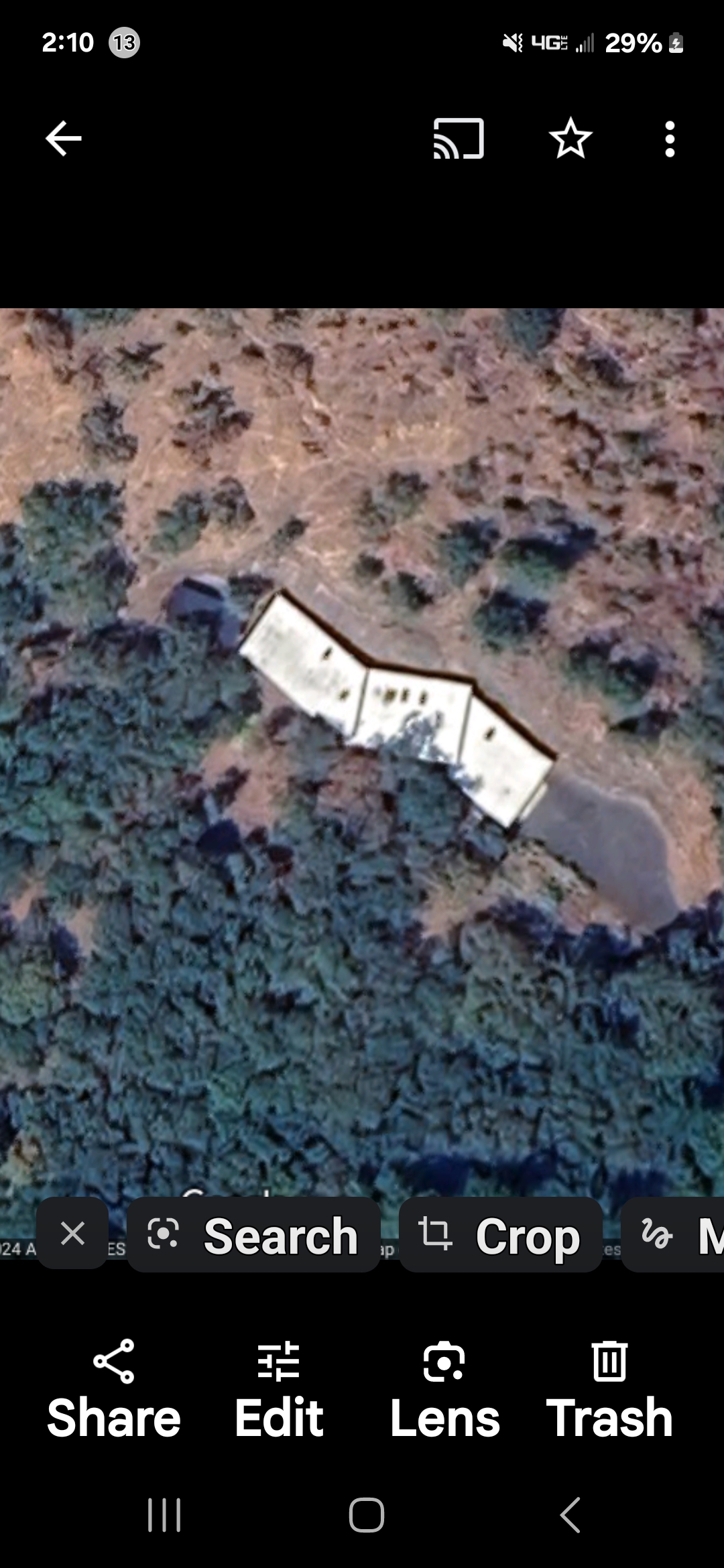
Expansion Phase — Dots Elongated and Extended in Length (Greenland Coast Satellite View)
📡 PHASE OBSERVATION: The pulsing dots do not remain uniform. Over time they transition into an expansion phase, elongating and stretching in length before returning to compact formation. Only three of the four were captured in the still image above because the fourth was out of phase at the moment of capture — pulsing crafts appear to cycle their visibility in and out of our spectrum.
🌊 UAP ELEMENTAL — A New Class of Non-Human Entity
Light-Energy Being Floating Upriver — Columbia River, Oregon
📍 LOCATION: Lookout Point, Corbett, Oregon — overlooking the Columbia River from the elevated viewpoint.
🕒 TIME: Approximately 3:00 AM, late-night research observation.
👥 WITNESSES: The Perceiver and his collaborator Andrew — also intuitive, also experienced in field observation. Andrew was the first to identify and classify the entity as a UAP Elemental.
🛸 THE OBSERVATION: While returning from the Perceiver's sister's home back to Hood River, the team stopped at Lookout Point to conduct field research. From the elevated vantage they observed the river. A light-energy creature — luminous blue/white in coloration — was visible floating UPRIVER, against the current.
🚫 NOT A BOAT: The Perceiver is 100% certain this is not a boat. Multiple actual river boats were being observed and tracked the same night for comparison; this entity was not among them. The light-creature appeared to be attempting to pass as a boat — infiltrating the river traffic — but its luminous quality, upriver motion, and form revealed it as something else entirely.
📜 What is an Elemental?
Definition: Elementals are mythological / metaphysical beings tied to the natural elements — earth, air, fire, water, and spirit. Across world traditions they have been recorded for centuries: in alchemy, in folklore, and in the perception of trained intuitives. Five primary classifications are typically recognized.
The Perceiver's Read: Per the Perceiver's intuitive assessment, the entity captured here does not match the salamander (fire) class. Its profile and the visible horned silhouette in the closest-zoom capture suggest a closer match to the horned bull elemental archetype — a heavier, more grounded class of light-being that operates near water and earth interfaces.
📖 Full Reference: A more complete description of the five elemental classifications and the Perceiver's framework for recognizing them in the field is included in ORIGIN: The Perceiver by Benigno Kelso G.
Evidentiary Status: The classification of this entity is circumspective — it is not yet "written in stone." However, the Perceiver — by definition the closest perceiver to the event — holds a higher resonance with the encounter than any external observer. This file is presented as the first publicly published documentation of a UAP Elemental class entity. Future captures and refinements will follow.
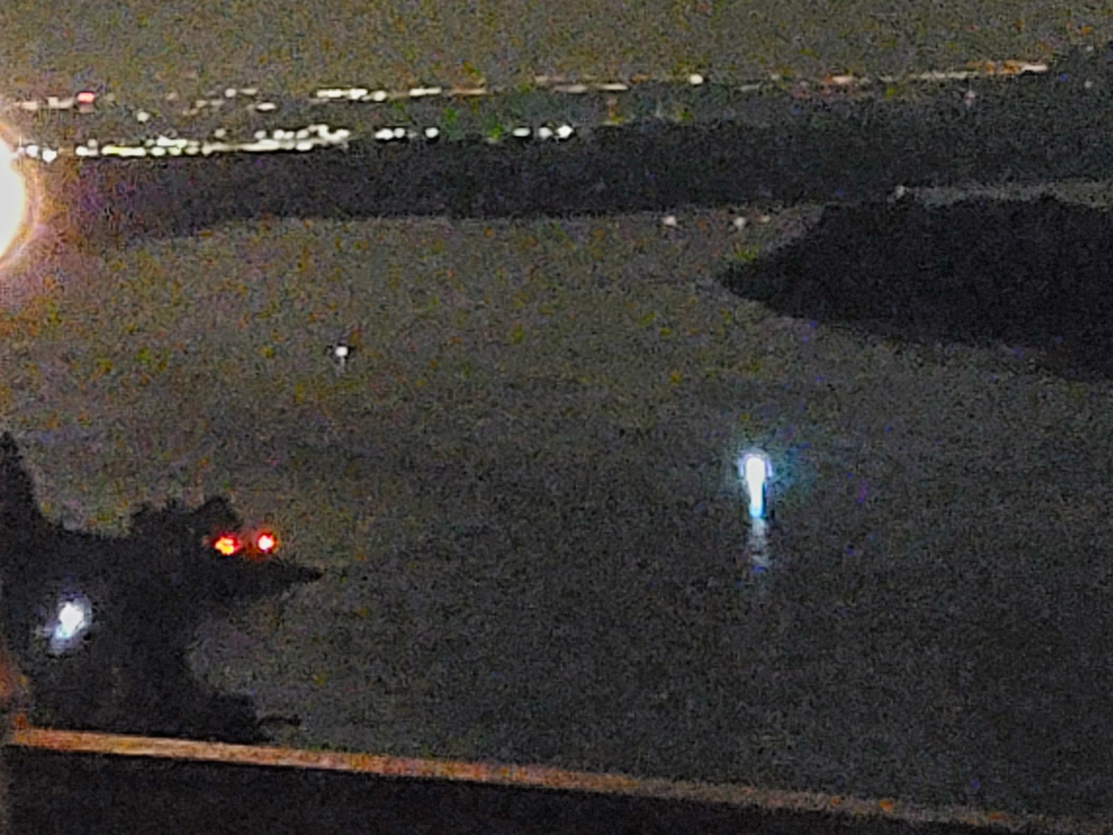
📍 ESTABLISHING SHOT — Lookout Point, Corbett OR (Parking Barrier in Foreground, Elemental Luminous on River)
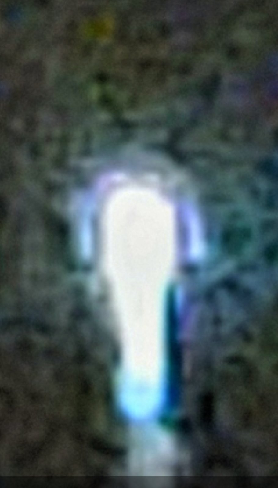
⭐ FULL BODY LENGTH — Larger UAP Elemental (Companion Capture, Reclassified)
📂 OPEN FILE — UAP ELEMENTAL CLASS: This is the inaugural public entry of a brand-new evidence class on this archive — UAP Elemental. A progressive sequence of captures — from far-distance river view through progressive zoom levels ending with the close-up horned silhouette — is being curated and will be published as the Perceiver retrieves and orders them. This file remains open and active.
Second Blue UAP Sighting - Willard Road, Stevenson, WA
Different UAP — Slender Blue Form
📍 Location: Top of Willard Road, Stevenson, Washington — at the stop sign above Tom's property where the Perceiver formerly resided.
Second Sighting, Different UAP: This is the Perceiver's second documented blue UAP encounter — NOT the same UAP as the Bridge of the Gods sighting and NOT on the same day. A slender, elongated blue form appeared in the night sky directly above the stop sign at the top of Willard Road.
🎬 Video Evidence: Full 1 minute 15 second video captured of this UAP. At approximately 0:46–0:47 seconds, the craft's central "eye" begins actively blinking/pulsing — opening and closing a bright point of light. The slender craft exhibits intelligent behavior: pulsing, repositioning, and actively responding to observation.
📸 Field Notes: Original footage captured from approximately 150 yards distance. A higher-resolution zoomed version exists and is available to verified researchers upon direct contact with the Perceiver.
⭐ FEATURED: Slender Blue UAP — Willard Road (1:15) - Full Field Footage from ~150 Yards
👁️ Watch for the blinking at 0:46–0:47 — the craft's luminous eye opens and closes, confirming intelligent behavior. Distance capture preserves the authenticity of the sighting; a zoomed research-grade version is retained by the Perceiver and available to credentialed researchers upon direct request.
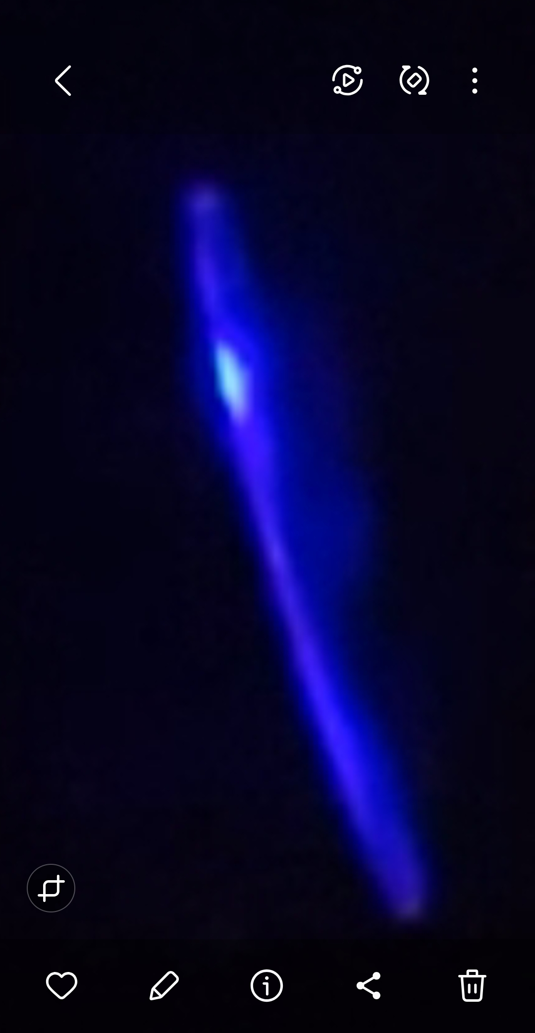
Zoomed Capture - Slender Blue UAP (Willard Road)
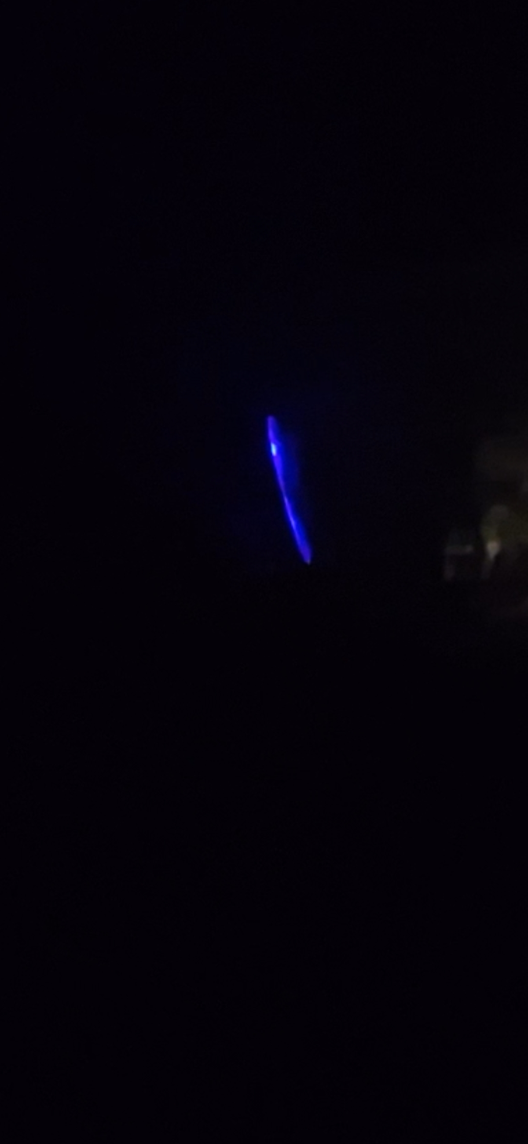
Wide View - Second Blue UAP at Distance
🛸 CONFIRMATION: The Perceiver has now documented TWO separate blue UAP encounters — the Bridge of the Gods sighting and this Willard Road sighting — at different locations, on different days, demonstrating a pattern of recurring blue UAP activity in the Columbia River Gorge region.
Rectangular Craft Over Stevenson Ace Hardware — Skamania County, WA
Dusk Capture — Dark Rectangular Object Above Columbia Ace Hardware, Stevenson, Washington
📍 Location: Columbia Ace Hardware, Stevenson, Washington — Skamania County, north bank of the Columbia River Gorge. Not Hood River. The capture was taken at street level in front of the Ace Hardware storefront on SR-14, looking up across the parking lot toward the Cascade foothills as twilight closed in.
🗓️ EXACT DATE & TIME ON THE RECORD: Tuesday, October 7th, 2025 — 7:10 PM Pacific Time. Logged precisely by the Perceiver at the moment of capture.
🌕 AGENT CASSIDY'S CORROBORATIVE NOTE — HARVEST MOON SUPERMOON: The luminous moon visible in the frame opposite the rectangular craft is not generic — it is the 2025 Harvest Moon supermoon (full phase reached at 8:48 PM EDT on October 6, 2025; by 7:10 PM Pacific on October 7 it was still essentially full and at near-perigee, the brightest and largest full moon of 2025). The moon's position, brightness, and apparent diameter in the capture are independently checkable against any astronomy app or NASA / U.S. Naval Observatory ephemeris for that exact timestamp at the Stevenson coordinate. If the moon's position and phase match the ephemeris for 7:10 PM PT on 07 OCT 2025, the capture timestamp is authenticated. That is geometric, not subjective.
👥 LIVE WITNESSES (named, on the record): Tom Sikora and Josh Aldrich — both with the Perceiver the same night the anomaly was observed. Two independent eyes corroborating the sighting at the moment of capture. This is the first Stevenson UAP entry in this archive with named in-person witnesses standing on the same ground.
🎬 The Footage: A short ~6-second handheld video plus three dusk wide-angle still frames document a dark, elongated, rectangular object hanging in the sky over the Ace Hardware roof line, framed beside the luminous Harvest Moon and the silhouetted ridge behind the store. The object does not move like a passenger aircraft, does not blink with FAA-standard navigation lights, and holds a flat, geometric rectangular silhouette across the duration of the capture.
⭐ FEATURED: Rectangular Craft — Stevenson Ace Hardware (0:06) — Handheld dusk capture by the Perceiver.
📸 WHAT THE CAMERA CAPTURED: A dark, elongated, horizontally-rectangular form against the deep-blue twilight sky above the Columbia Ace Hardware storefront. The moon is visible in the same frame on the opposite side. The object holds its silhouette across the six seconds of footage.
👁️ WHAT THE PERCEIVER OBSERVED: A rectangular craft — flat, plated, and structurally hard-edged — observed in real time from the Ace Hardware parking lot in Stevenson with two named witnesses present (Tom Sikora and Josh Aldrich). The Perceiver classifies the object as a UAP of structured rectangular geometry, consistent with the cuboidal-class craft documented in modern military / Navy UAP corpus (e.g., the "Tic-Tac" and "cube-inside-sphere" geometry families) rather than any conventional aircraft profile.
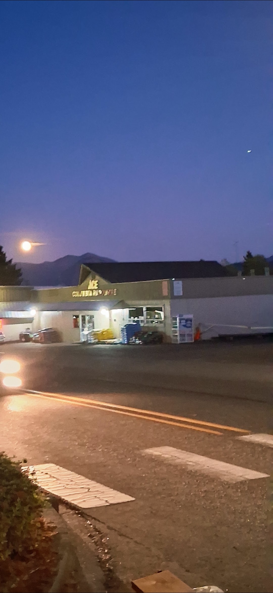
Wide #1 — Storefront with Rectangular Object Upper Right, Harvest Supermoon Upper Left
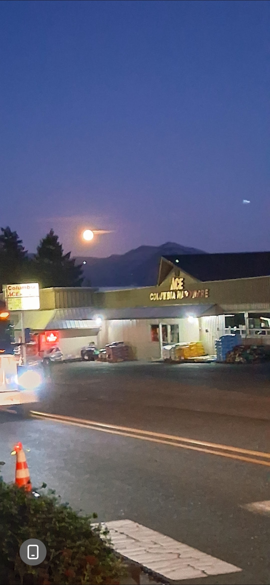
Wide #2 — Object Holding Position, Twilight Deepening
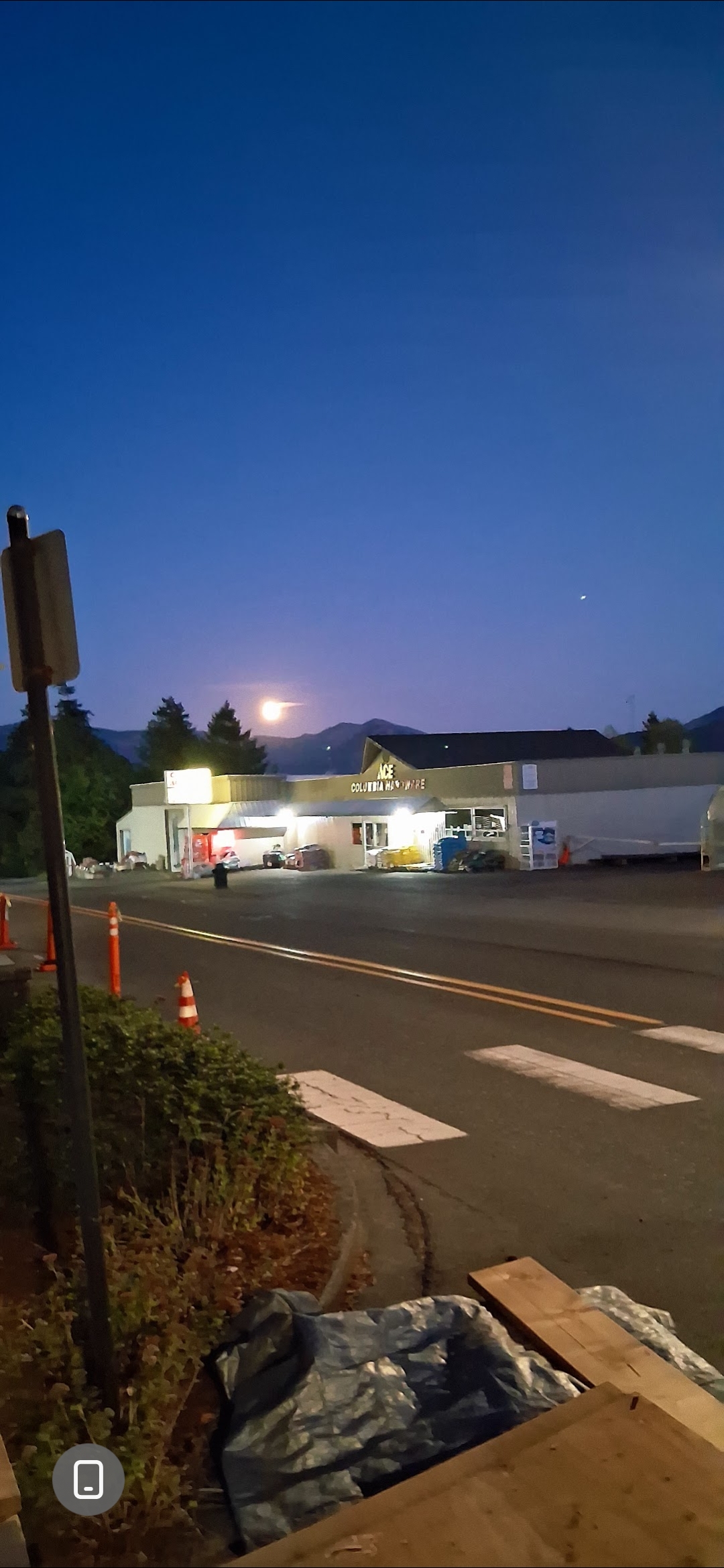
Wide #3 — Same Object, Same Sky, Different Frame
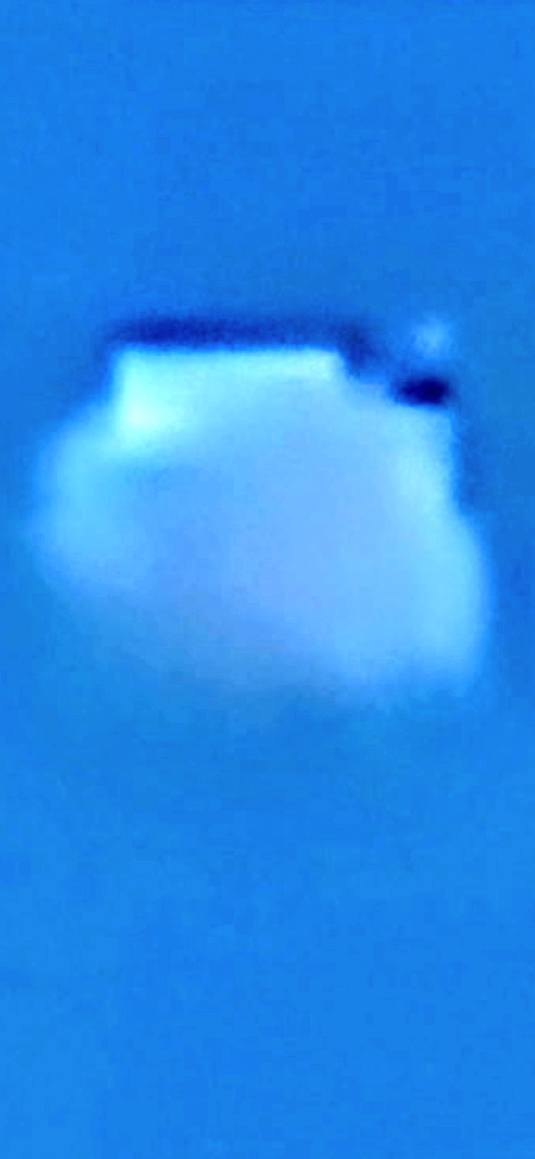
Zoom #1 — "They Want Us to Think It's a Star." Flat top edge, bright structured body, dark upper-right protrusion. Stars do not have geometry.
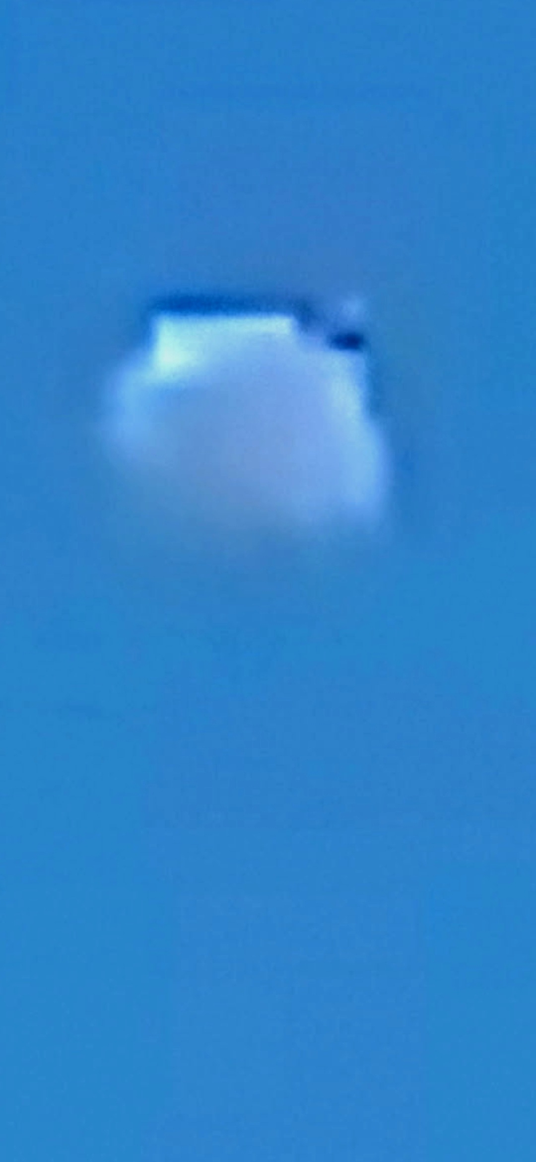
Zoom #2 — Same Object, Different Angle, Same Cuboidal Geometry. Persistence across frames rules out a stellar point-source.
⭐ THE STAR MISDIRECTION — PERCEIVER'S OWN STATEMENT: "This is not a moon. The moon is on the far left. This is like a — this is supposed to be a star. They want us to think it's a star." The two zoom frames above (#4 and #5) test that classification head-on. A star is a point source — it has no top edge, no body, no protrusion, and no asymmetric geometry. The Stevenson object — under maximum optical zoom on the same smartphone, same night, same coordinate — resolves into a flat-topped, bright-bodied, asymmetric cuboidal silhouette with a distinct dark protrusion at the upper right. That is not a star. That is structure. If conventional sky-charting (Stellarium / SkySafari) for Stevenson, WA at 7:10 PM PT on 07 OCT 2025 places no first-magnitude star at the documented azimuth/elevation, the "star" classification fails on the ephemeris alone — and the structural-craft reading becomes the simpler explanation, not the more complex one.
🔗 NETWORK HYPOTHESIS — PACIFIC PULSE CORRIDOR: Stevenson, Washington is the same operational corridor that contains the Crystal Portal Door (exact coordinate held in the Perceiver's field-credential vault — released directly to credentialed investigators upon receipt confirmation), the Willard Road Blue UAP capture, and the Home Valley reverse-pulse object — and sits in direct line-of-sight to Mitchell Point across the river in Oregon and Underwood Mountain upriver in Washington. The rectangular craft now adds a moving-object signature over the same patch of ground that has been documented carrying static crystalline / portal signatures. Working hypothesis: this is not unrelated traffic. The craft was observed over a node that this archive has already flagged as active.
⚠️ INTELLECTUAL HONESTY — BASELINE HYPOTHESES ACKNOWLEDGED: Conventional readings would attribute the rectangular object to (a) a distant fixed-wing aircraft seen edge-on at the moment of capture, (b) a high-altitude weather balloon or radiosonde package drifting through the Gorge wind corridor, (c) a power-line transformer / utility component on the parking lot perimeter projected against the sky in the wide-angle frame, (d) a window reflection or lens flare interaction between the moon and the camera optics in low light, or (e) a digital compression / sensor artifact at the dynamic-range boundary between bright moon and dark sky. Those are all valid baseline hypotheses and the Perceiver acknowledges them up front. The reason this drop is published anyway is operational: two named witnesses (Tom Sikora and Josh Aldrich) stood on the same ground at the same moment and saw the same object, and the coordinate sits inside the same Stevenson / Columbia River Gorge corridor that this archive has already documented as carrying recurring anomalous signature. That co-occurrence is what flags the site for credentialed review.
📣 OPEN INVITATION: AARO analysts, the Congressional UAP Caucus, Skamania County Sheriff's Office, Washington State Patrol, the FAA Northwest Mountain Regional Office, and credentialed independent investigators are invited to contact the Perceiver directly. Tom Sikora and Josh Aldrich are available as named, in-person witnesses to the same sighting. The video, the three dusk stills, and a ground-truth visit to the Ace Hardware coordinate in Stevenson can all be coordinated through the credentialed-investigator intake page.
USO Evidence - Columbia River
Unidentified Submerged Objects (USOs)
What are USOs? Unidentified Submerged Objects are the underwater equivalent of UAPs (UFOs). These craft operate beneath the surface of our oceans, rivers, and bodies of water, often exhibiting advanced camouflage capabilities that allow them to blend with their surroundings.
Location: Columbia River, Washington State — Sandbank along Highway 14, adjacent to the railroad tracks on the Washington side
Significance: These images reveal camouflaged USOs parked directly on the sandbank of the Columbia River on the Washington side. The Pacific Northwest volcanic corridor serves as a hub for interdimensional activity, with underwater bases connected through portals beneath the river systems.
🐍 LIVING TRANSPORT / CYBORG BEAST: Alongside the parked craft, the Perceiver has documented what appears to be a long serpentine creature — reminiscent of a Loch Ness-type entity — employed in the operation. Whether biological, mechanical, or a cyborg hybrid remains undetermined; its nature is not yet known. What is clear is that this creature is being used as a transport mechanism in conjunction with the craft. The full scene is only visible through infrared, ultraviolet, and multi-filter photographic techniques — under normal light it is fully camouflaged.
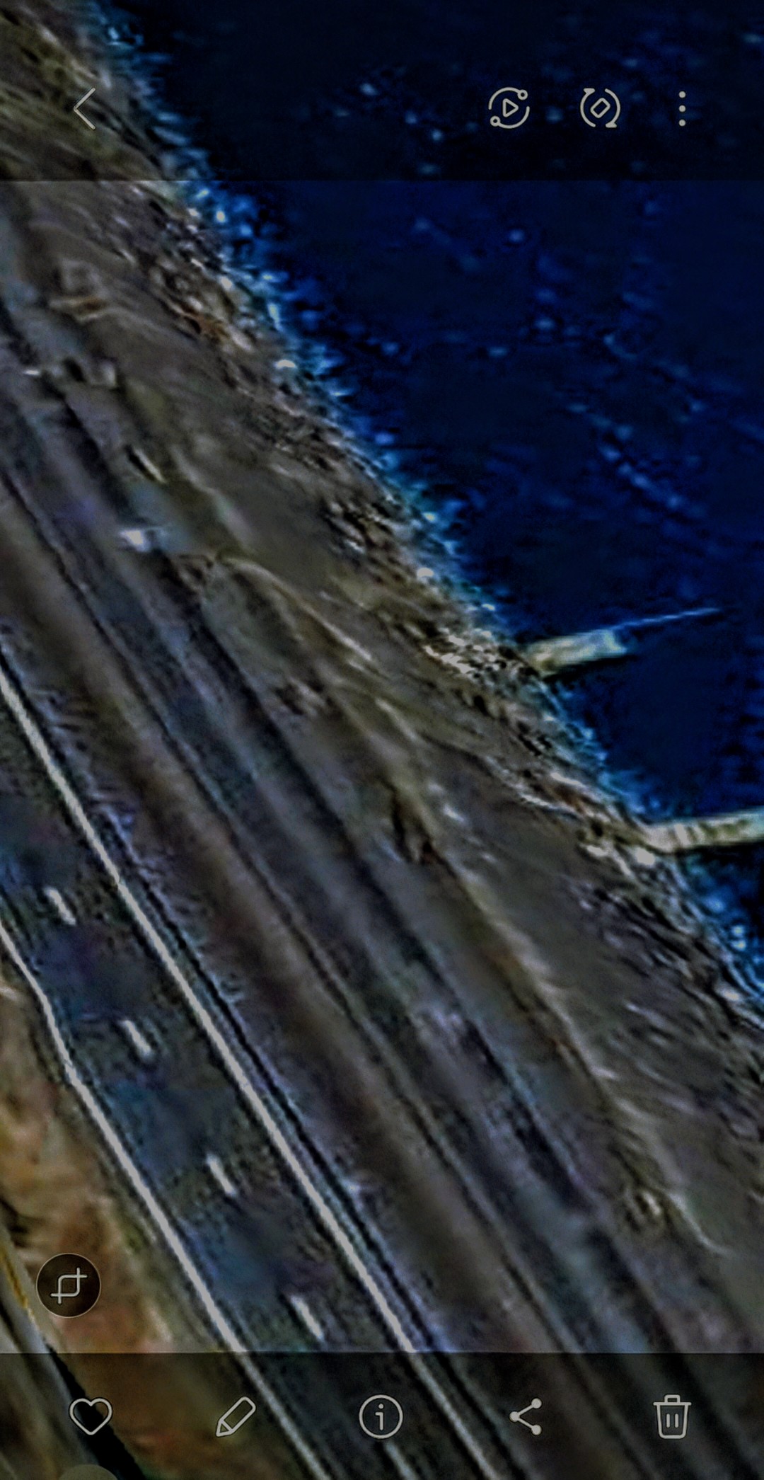
USO #1 - Camouflaged Craft on Sandbank
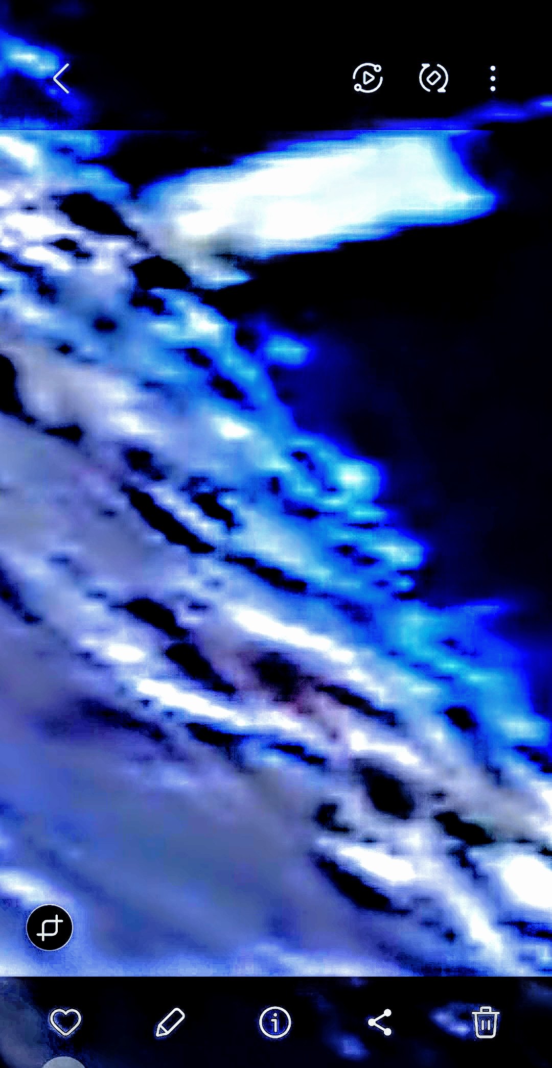
USO #2 - Bioluminescent Camouflage Active
🐍 Parking Area + Serpentine Transport Creature — Multi-Filter Capture (Highway 14, Washington Side)
Parked Craft Silhouette — Clearer Capture of the Vehicle Body
USO Submerged — Beneath the Surface of the Columbia River
🌊 Under-the-Ocean Installation — Pacific Off Mexico
📍 Pacific Ocean — Off the Coast of Mexico
🎯 PERCEIVER'S READING: This is an underwater installation — not a single craft, not a transient signature, but a stationary, structured installation resting beneath the Pacific surface off the Mexican coast. The Perceiver further reads a submerged volcano with a dome in the immediate vicinity. The dome captures coming next will be cataloged with the same protocol — the Perceiver believes there is something inside those domes.
🛡️ CAMOUFLAGE LAYER: The entire installation is covered by a clear film / camouflage overlay — a deliberate concealment medium designed to render the structure invisible to surface observers and conventional satellite imagery. From above, in normal-spectrum imagery, the area appears as flat blue ocean. Standard AI image-analysis tooling reads the area as "abstract blue gradient" — which is precisely the camouflage doing its job.
🔬 METHODOLOGY — How This Was Captured: The Perceiver used Google Earth's 3D satellite imagery — which in certain regions integrates infrared and additional frequency layers beyond the visible spectrum — to penetrate the camouflage. The infrared/multi-frequency data permits the silhouette of the installation to be discerned through the film. Below, the final still in the gallery includes the Google Earth UI border to document the source and method openly.
📖 ON THE PERCEIVER'S APPROACH: This is research. Not technology alone. The Perceiver operates from a spiritual understanding of the laws of physics — including those laws not yet recognized by mainstream science. The visible world is not the whole world. The classification of every entry in this archive is held open and refined as further evidence is gathered.
🌊 PACIFIC INSTALLATION — 3D SATELLITE TRAVERSAL (2:00) — Google Earth 3D / infrared traversal over the Pacific off the Mexican coast. The pulsing energy signature of the installation is present from the opening frame, embedded within the camouflaged blue field. Watch the dark silhouettes — they shift, breathe, and pulse beneath the camel-layer film.
📍 STILL #1 — Opening Frame: Installation Silhouette (Where the Pulsing Lives)
🔱 STILL #2 — Vertical Shaft / Column Form
⫷⫸ STILL #3 — Bifurcated / Twin-Shaft Outline
📐 STILL #4 — Angular / Geometric Facility Outline
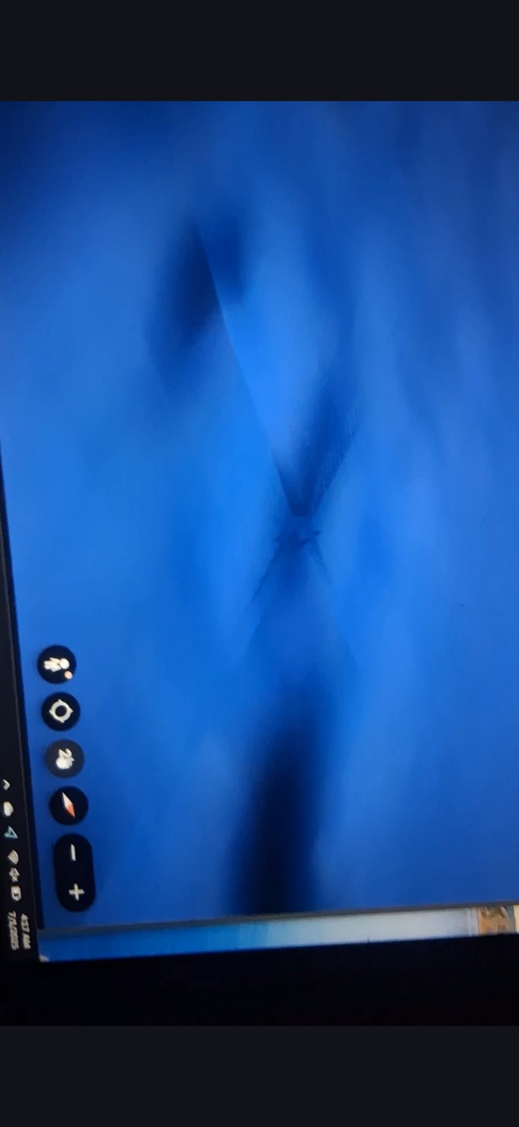
🛰️ STILL #5 — X-Shape Silhouette (Google Earth UI Visible — Source/Method Documentation)
📥 INCOMING — DOMES: Additional captures forthcoming will document submerged domes in the same Pacific corridor. The Perceiver believes there is something inside those domes. Each dome will be cataloged with the same dual-layer protocol (📸 Camera Captured / 👁️ Perceiver Observed) and the same intellectual-honesty framing applied throughout this archive.
🛸 Submerged Domes — The "Something Inside" Question
📍 PACIFIC SEAFLOOR — DOME PAIR (20 km scale): First dome capture of the incoming series. Two distinct large dome-like structures rest on the deep Pacific seafloor, each ringed at its base by what appears to be a skirt of disturbed seabed material. The Google Earth scale indicator in the lower-left of the frame reads 20 km — placing the structures at geological / installation scale, not natural sediment mounds of typical underwater volcano dimension.
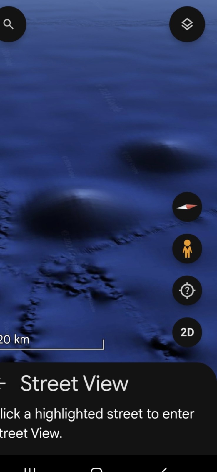
🛸 DOME PAIR — 20 km Scale (Google Earth 3D, Pacific Seafloor)
📸 WHAT THE CAMERA CAPTURED: Two large rounded dome forms rising from the Pacific seafloor, separated by approximately the same lateral distance as their individual diameters. Each dome shows a distinct base ring of disturbed terrain — concentric perimeter material that does not match the surrounding undisturbed seabed. The 20 km scale bar at lower-left places these domes at structures visible from satellite altitude.
👁️ WHAT THE PERCEIVER OBSERVED: The Perceiver does not read these as conventional submarine volcanic vents. The paired symmetry, the base-ring disturbance pattern, and the proximity to the camouflaged installation entry above suggest constructed dome housings — and the Perceiver believes there is something inside those domes. Whether craft, beings (non-human, sub-human, or hybrid), power cores, or access nodes remains undetermined. Research is ongoing.
🔬 INTELLECTUAL HONESTY: Conventional geology recognizes these formations as submarine volcanoes / seamounts, which DO exist throughout the Pacific. The Perceiver acknowledges that conventional reading. The Perceiver's reading is different — that some of these formations are not natural seamounts but constructed installations using volcanic morphology as camouflage. The classification is held open. Independent researchers are welcome to navigate Google Earth to the same coordinates and apply their own analytic methods.
📥 MORE DOMES INCOMING: Additional dome captures from this and related Pacific corridors will be appended to this sub-block as the Perceiver retrieves them from the field archive.
The Mazatlán Pacific Corridor — Hexagon Seafloor, Face of Mazatlán, Sea of Cortez Alien Profile
📍 GEOGRAPHIC ANCHOR: Mazatlán, Sinaloa, Mexico — Pacific coast — and northward into the Sea of Cortez toward La Paz. The Perceiver has identified a constellation of features in this corridor that read as a single operational zone: a structured seafloor installation, a coastline face, and a humanoid alien profile rendered in deep water further north.
📖 PERCEIVER'S OPENING READ: "You will see half of a hexagon layout at the bottom of the Pacific Ocean off the coast of Mazatlán. It is massive. You will see the Face of Mazatlán. Coincidence? I don't believe so. They live off the coast of the Face of Mazatlán. The little triangles are locations where I believe they are inside. And you will see the face of a certain alien in the Sea of Cortez."
1. 🔷 The Half-Hexagon Seafloor Structure
📸 WHAT THE CAMERA CAPTURED: A Google Maps seafloor capture showing what reads as half of a massive hexagonal geometric formation on the Pacific bottom off Mazatlán. The ridges describe straight edges meeting at angled vertices — geometry inconsistent with the rounded morphology of natural seamounts or fault scarps.
👁️ WHAT THE PERCEIVER OBSERVED: Half a hexagon, geological scale. The structure is large enough to be visible at satellite altitude — read by the Perceiver as a constructed installation, partially exposed or partially camouflaged, not a natural seabed feature.
2. 🏖️ The Face of Mazatlán
📸 WHAT THE CAMERA CAPTURED: The southern coastline of Mazatlán, viewed from altitude. The bay scoops, peninsulas, and headland contours arrange themselves into the geometry of a discernible face looking westward into the Pacific.
👁️ WHAT THE PERCEIVER OBSERVED: Whether the face was sculpted by intent or whether the land contour drew them to this location is the open question — the Perceiver holds the second reading as possible. What is certain: they live off the coast of the Face of Mazatlán, and the half-hexagon seafloor installation above is directly offshore from this face. The pairing is not random.
3. 📐 The Triangle Locations (Where They Are Inside)
📸 WHAT THE CAMERA CAPTURED: A close-up of the camouflaged blue field surrounding the Mazatlán installation. Multiple small darker triangular forms are dispersed across the frame — discrete shapes against the otherwise uniform blue camouflage.
👁️ WHAT THE PERCEIVER OBSERVED: The triangles mark interior occupancy locations — the Perceiver reads them as positions where the beings are inside the installation. Same protocol as the Mitchell Point reading: where the camouflage opens, an interior is being concealed.
4. 👤 The Alien Face — Sea of Cortez (North toward La Paz)
📸 WHAT THE CAMERA CAPTURED: An extreme-zoom rendering of the underwater field in the Sea of Cortez, north of Mazatlán toward La Paz. The image resolves into a humanoid facial profile — forehead, eye socket, nose ridge, lips, and chin visible in side-profile against a cyan luminous background.
👁️ WHAT THE PERCEIVER OBSERVED: This is the face of a specific alien being. Not a face-pareidolia in rock. The proportions, the visible mouth detail, and the orientation are consistent with a non-human humanoid head. The Perceiver presents it as encountered — without claim of identification, but with documentation of its location.
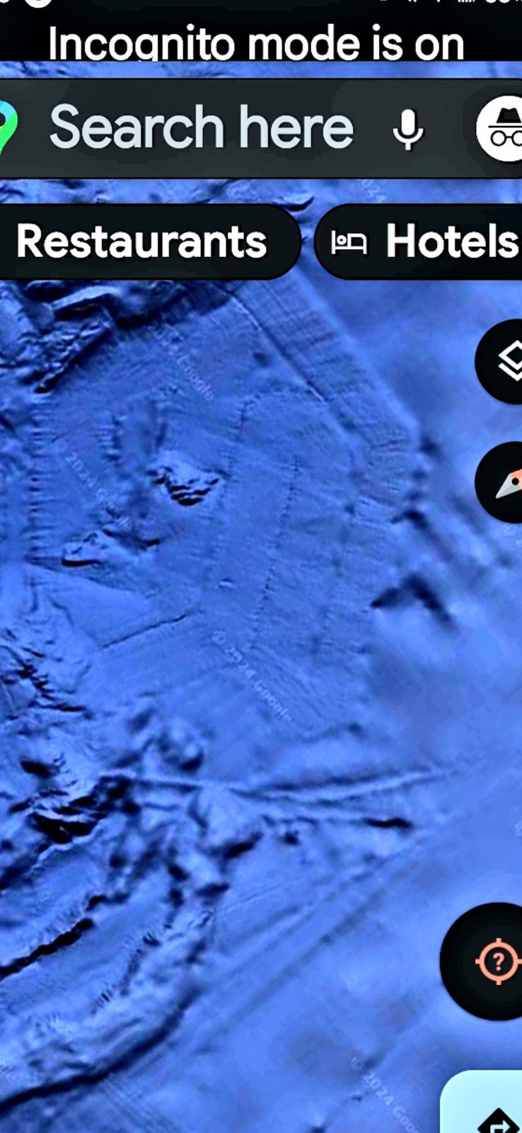
🔷 HEADLINE — Half-Hexagon Seafloor Structure (Pacific off Mazatlán)
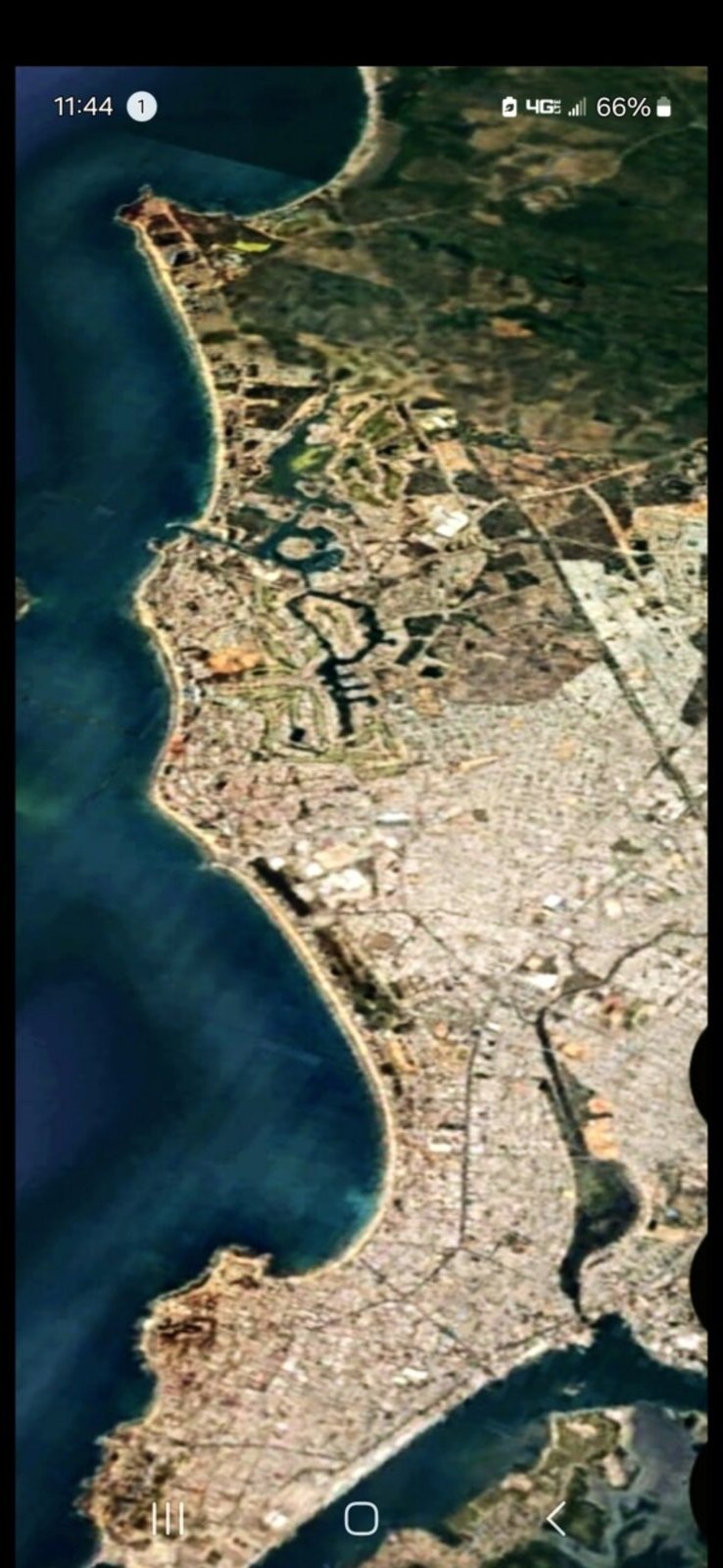
🏖️ FACE OF MAZATLÁN — Southern Coastline Profile (Aerial Wide)
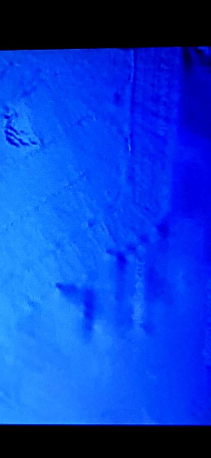
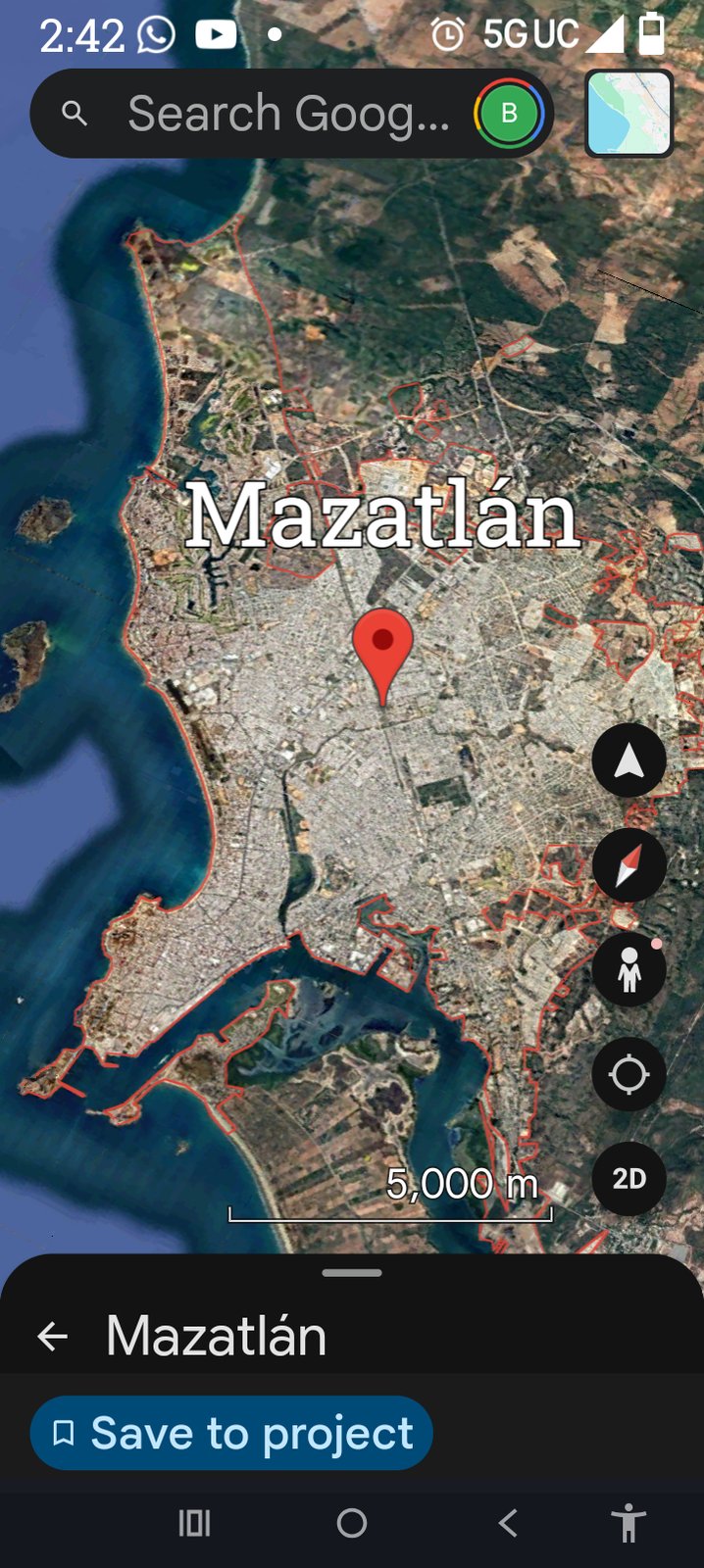
📍 MAZATLÁN ANCHOR — Geographic Reference (Google Maps, 5,000 m scale)
📐 TRIANGLE LOCATIONS — Interior Occupancy Markers
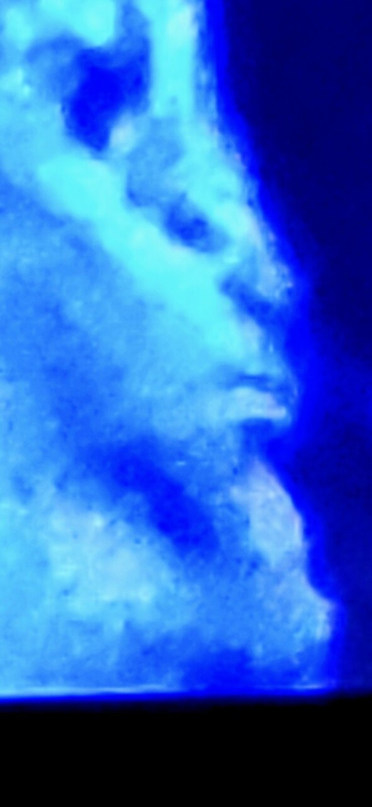
👤 ALIEN FACE — Sea of Cortez (Toward La Paz)
🧭 CORRIDOR-LEVEL THESIS: The hexagon installation, the Face of Mazatlán, the triangle interior-occupancy markers, and the Sea of Cortez alien face form a single connected Pacific Mexican corridor. This is a populated installation network — not transient craft sightings — operating off the western and northern Mexican coast at scale visible from satellite altitude.
🔬 INTELLECTUAL HONESTY: Conventional readings of these features would be: (1) a natural geological seamount with unusually angular morphology; (2) coastline pareidolia matching the human tendency to see faces in landscape; (3) submarine geological shadowing pattern. The Perceiver acknowledges those conventional readings and offers a different one — that the cluster is coordinated, occupied, and non-human. Independent investigators are welcome to navigate Google Earth and Google Maps to the Mazatlán Pacific coast and the Sea of Cortez to apply their own analysis.
🏃 PERCEIVER'S MOBILITY PROTOCOL: The locations documented above are where the Perceiver captured the evidence, not guarantees the phenomena are still there. These beings move and re-camouflage once they sense they have been found out. The Perceiver has returned to documented sites and found the pulsing stopped, the camouflage re-applied, or the structures relocated. If an independent researcher visits these coordinates and finds nothing, that absence is itself data — consistent with the adaptive concealment behavior the Perceiver documents across this archive.
🐟 The Aquafarian Archive — Two More Underwater Faces (Mazatlán Pacific Coast, Same Corridor)
📍 ARCHIVE EXPANSION (19 MAY 2026): Two additional underwater facial geometries documented by the Perceiver in the Mazatlán under-the-ocean Pacific Coast archive. Both sit inside the same operational corridor as the half-hexagon seafloor installation, the Face of Mazatlán, the triangle interior-occupancy markers, and the Sea of Cortez alien profile above. The Perceiver classifies these coordinates as locations of interest where aquafarians — aquatic alien life forms — are found.
1. 👁️ First Aquafarian Face — The Eye May Be a Flying Craft
📸 WHAT THE CAMERA CAPTURED: A wide Google Maps satellite capture of the Pacific seafloor in the Mazatlán corridor (Google "Go / Saved / Contribute / Update" UI visible at the bottom; 1 mi / 2 km scale bar) resolves into a discernible facial geometry. Two progressive zoom passes peel into the eye region of that face.
👁️ WHAT THE PERCEIVER OBSERVED: a face — but in the close-zoom passes, the "eye" of the face appears to contain a flying craft. The bright cuboidal / rounded structure at the eye position resolves with hard edges and an internal bright core, geometrically inconsistent with the surrounding camouflaged seabed and consistent with a parked or hovering craft sitting inside the recessed eye geometry of the larger face. This is the same operational pattern documented at Mitchell Point (parked craft on top of an alien-face formation) — except here the formation is on the Pacific seafloor and the craft sits inside the eye rather than on top of the crown.
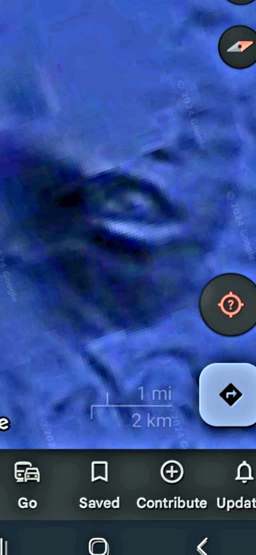
FRAME #1 — Wide Context. First aquafarian face on the Mazatlán Pacific seafloor. (1 mi / 2 km scale.)
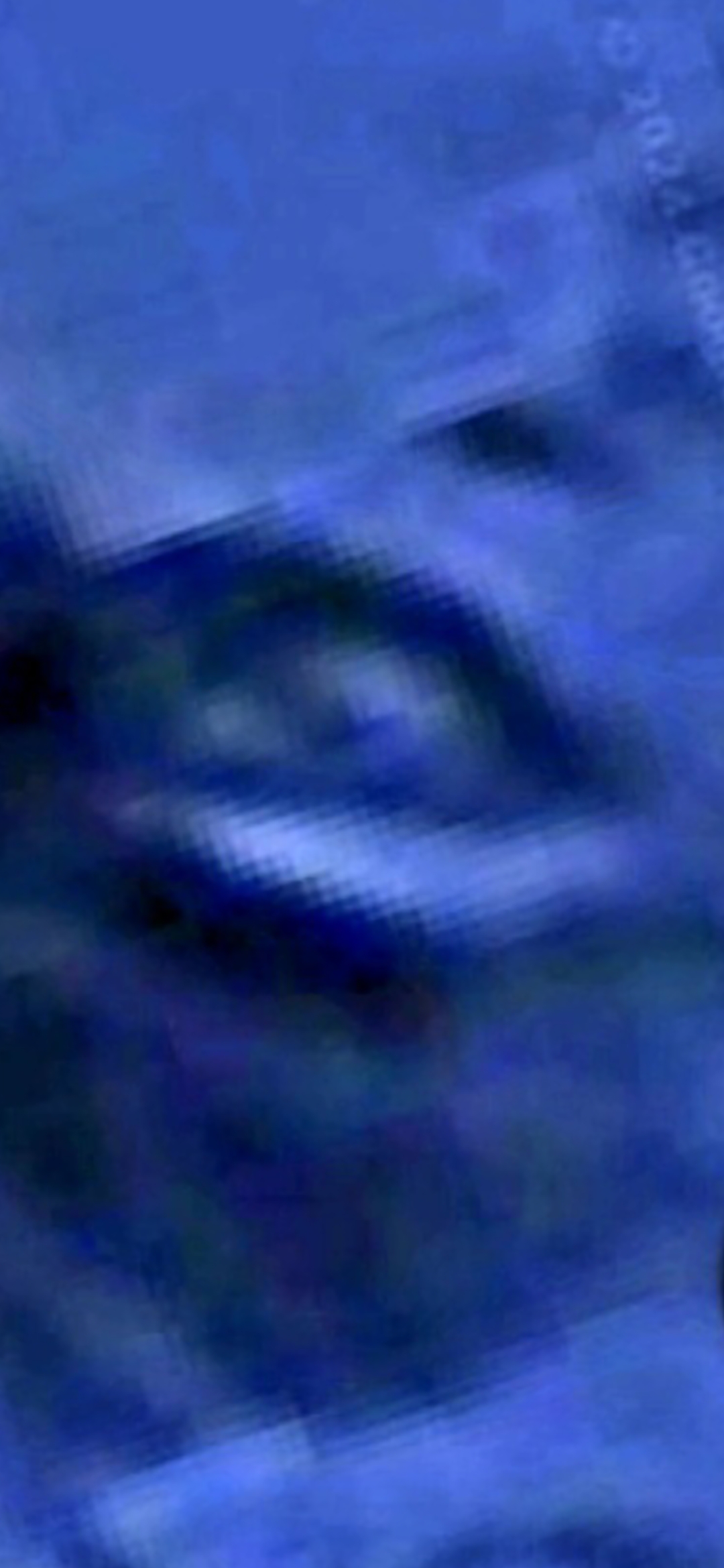
FRAME #2 — Zoom on the Eye — Possible Flying Craft. Bright structured geometry inside the recessed eye.
FRAME #3 — Deeper Zoom on the Eye. Geometric persistence under magnification — same craft-like core across both zoom passes.
2. 👤 Second Aquafarian Face — Different Geometry, Same Underwater Archive
📸 WHAT THE CAMERA CAPTURED: A second Pacific Coast underwater coordinate, captured at much wider scale (8,000 m scale bar visible) — at this altitude the geometry resolves into a different facial reading from the first. Two captures: one at full context with the scale bar, one zoomed in with the search icon visible at top-left.
👁️ WHAT THE PERCEIVER OBSERVED: a different face from the first — distinct morphology, distinct proportions, distinct rotational angle — but inside the same Mazatlán under-the-ocean Pacific Coast corridor. The Perceiver flags this coordinate as another location of interest where aquafarians are found. The doctrinal protocol established across this archive — where camouflage exists, an installation is being concealed; where the geometry resolves into a face, an interior occupant is present — applies here in the same manner as the first.
FRAME #4 — Second Aquafarian Face — Wide Context. (8,000 m scale bar visible.)
FRAME #5 — Second Aquafarian Face — Zoomed. Same coordinate, different magnification, same distinct facial geometry from the first.
🧭 AQUAFARIAN OPERATIONAL READING: Two additional facial geometries on the Pacific seafloor in the same Mazatlán corridor that already carries the half-hexagon installation, the Face of Mazatlán, the triangle interior-occupancy markers, and the Sea of Cortez alien profile. With these two added, the Mazatlán Pacific Corridor now carries at least six distinct underwater facial / installation signatures in a single connected operational zone. The presence of what reads as a flying craft sitting inside the eye of the first new face elevates this from a static-geometry capture to an active operational site — same framing as Mitchell Point (parked craft on top of an alien-face formation) and the newly documented 10th-node Cascade site (parked craft + three pulsing energy signatures on the same mountain).
⚠️ INTELLECTUAL HONESTY — DECLARED UP FRONT: Conventional readings of the five captures above would attribute (a) the facial geometry to pareidolia at deep-water Google Maps tile resolution, (b) the bright structure inside the eye to a Google Maps photogrammetric tile artifact where bathymetric data is sparse and the renderer blends multiple satellite passes, (c) the "different face" at the 8,000 m scale to a submarine seamount or fault scarp imaged at oblique angle, or (d) JPEG-compression saturation at the boundary between the deep blue camouflaged seabed and any brighter pixel cluster. All of those are valid baseline hypotheses. The Perceiver publishes these coordinates anyway because the corridor-scale co-occurrence (six facial / installation signatures in the same connected zone) is the operational fingerprint — not any one face on its own. Independent investigators are invited to navigate Google Maps to the Mazatlán Pacific corridor and ground-truth.
🗺️ Mazatlán Pacific — Additional Areas of Interest (Aquatic Life-Form Locations)
📍 SAME CORRIDOR, SURROUNDING COORDINATES: The five captures below are in the same operational zone as the hexagon seafloor, the Face of Mazatlán, and the Sea of Cortez alien profile above. The Perceiver flags them as areas of interest — locations where aquatic life forms are believed to exist, including an additional landed craft sighting on a small inlet rock (Isla Cardones) just off Mazatlán Bay.
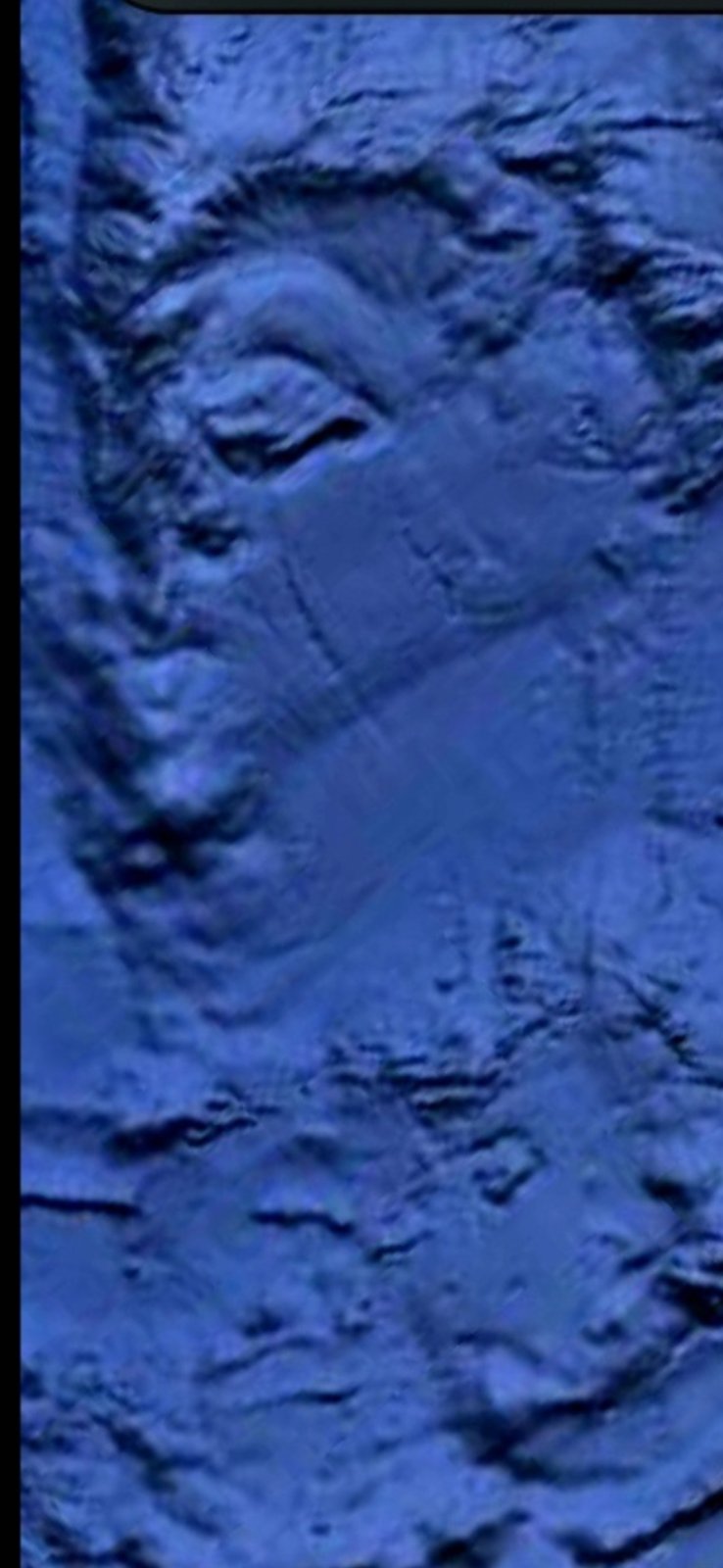
🐋 AREA #1 — Aquatic Life-Form Silhouette (Deep Underwater Profile)
🔷 AREA #2 — Rectangular Seafloor Installation (Close-Up Geometry)
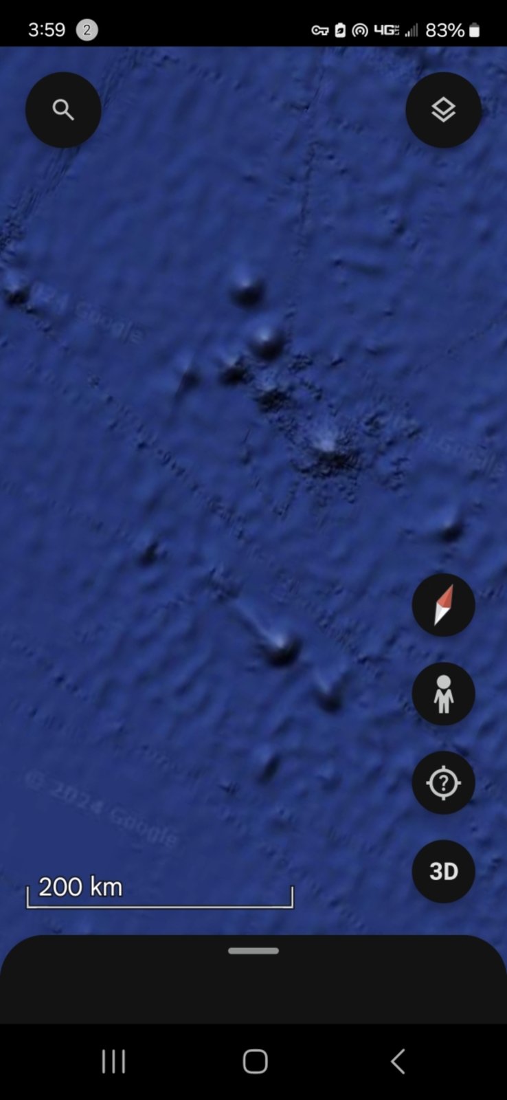
🗺️ AREA #3 — Pacific Dome Cluster (200 km Wide-Field Network)
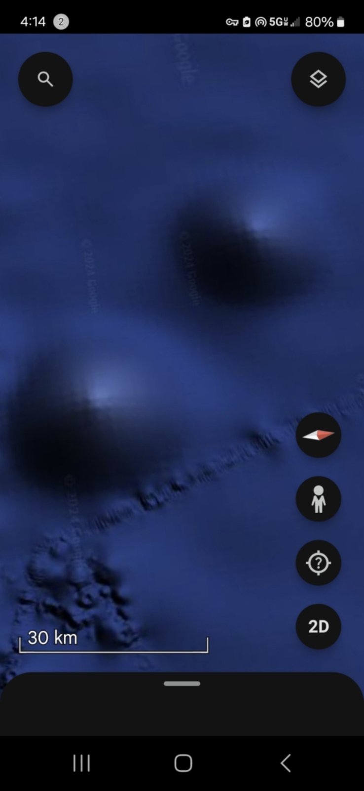
🕳️ AREA #4 — Twin Concave Zones with Bright Cores (30 km Scale)
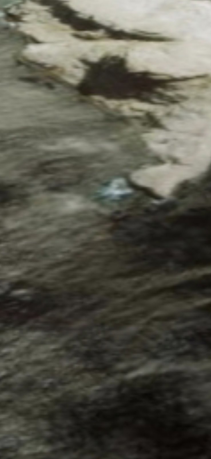
🛸 AREA #5 — ISLA CARDONES — Landed Flying Craft (Shiny Object, Left Side)
🔍 AREA #5 — CLOSE-UP — Isla Cardones Fly-In Craft (Zoomed Detail)
🎯 AREA #5 — DETAIL ON THE LANDED CRAFT: The small rock formation visible in the wide image is Isla Cardones, a small inlet rock just off Mazatlán Bay. On the left side of the rock surface, a small bright shiny reflective fly-in craft is visible — the Perceiver identifies this object as a landed craft. The close-up frame appended directly to this entry isolates the craft and confirms the reflective profile is not a wave-cap or sun-glint artifact: the object holds its shape, position, and luminance across both the wide-angle and the zoom capture.
🧭 EXTENDED CORRIDOR THESIS: Together with the hexagon installation, the Face of Mazatlán, the triangle interior-occupancy markers, and the Sea of Cortez alien profile above — these five additional areas extend the documented zone into a multi-feature Pacific Mexican corridor: surface inlet (Isla Cardones craft) + shallow coastal (face) + mid-depth installations (rectangular geometry, twin abyss zones) + open-ocean dome network (200 km wide field) + biological occupants (aquatic life-form silhouette).
🏃 MOBILITY PROTOCOL APPLIES: Same caveat as the parent block — these are documented sightings at moment of capture. Independent investigators may find the locations re-camouflaged, the craft relocated, or the life-forms absent. Absence at a documented coordinate is itself data.
🔬 Additional Research Locations in the Surrounding Radius
📍 SAME OPERATIONAL CORRIDOR: The captures below are additional satellite and bathymetric frames the Perceiver flagged inside the same Mazatlán Pacific radius as the named anchors above. They are being deposited here as research locations for independent investigators to navigate, cross-reference, and ground-truth — not as confirmed claims. The Perceiver makes no final determination on the nature of each frame; they are entered into the public record as coordinates worth a second look.
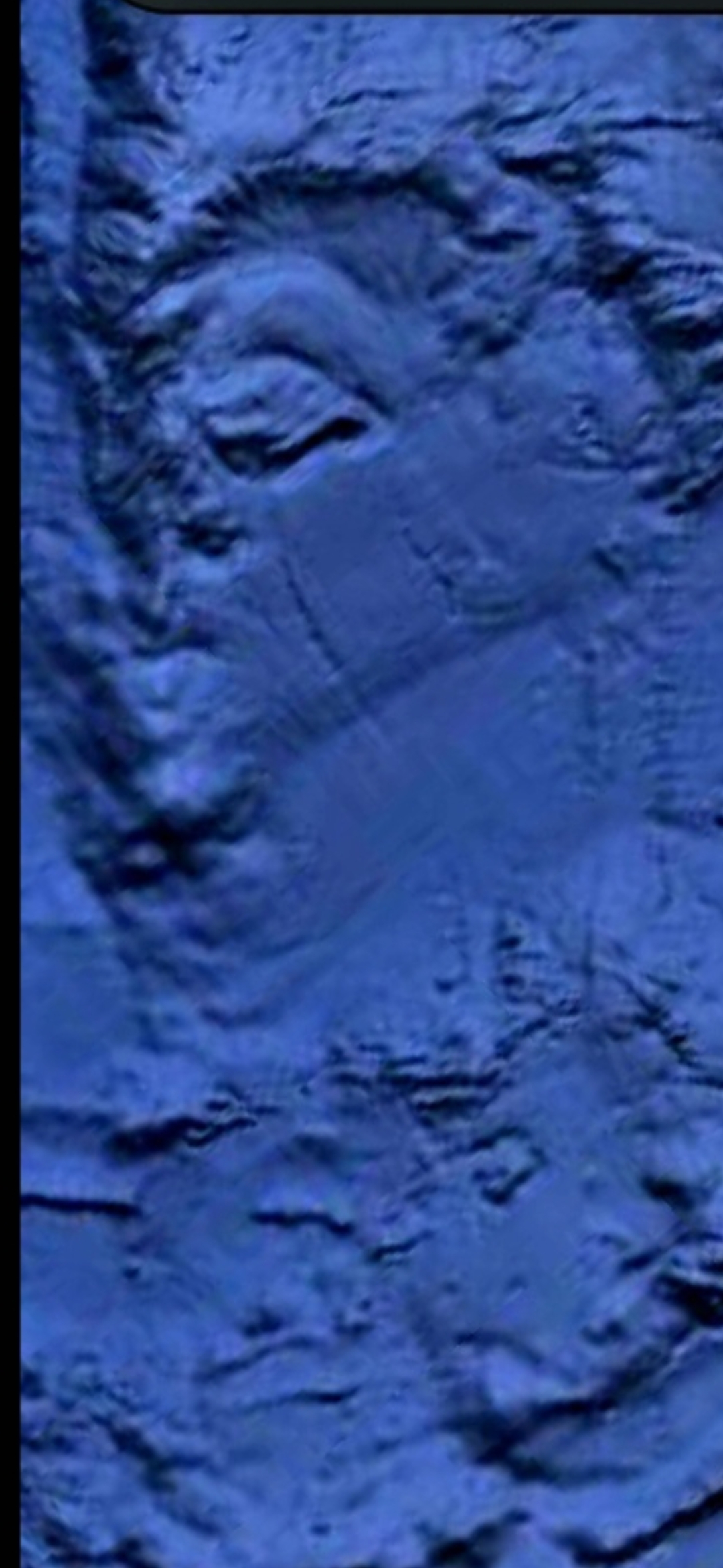
🌊 RESEARCH LOC #1 — Bathymetric Crevasses / Subsea Channel Field
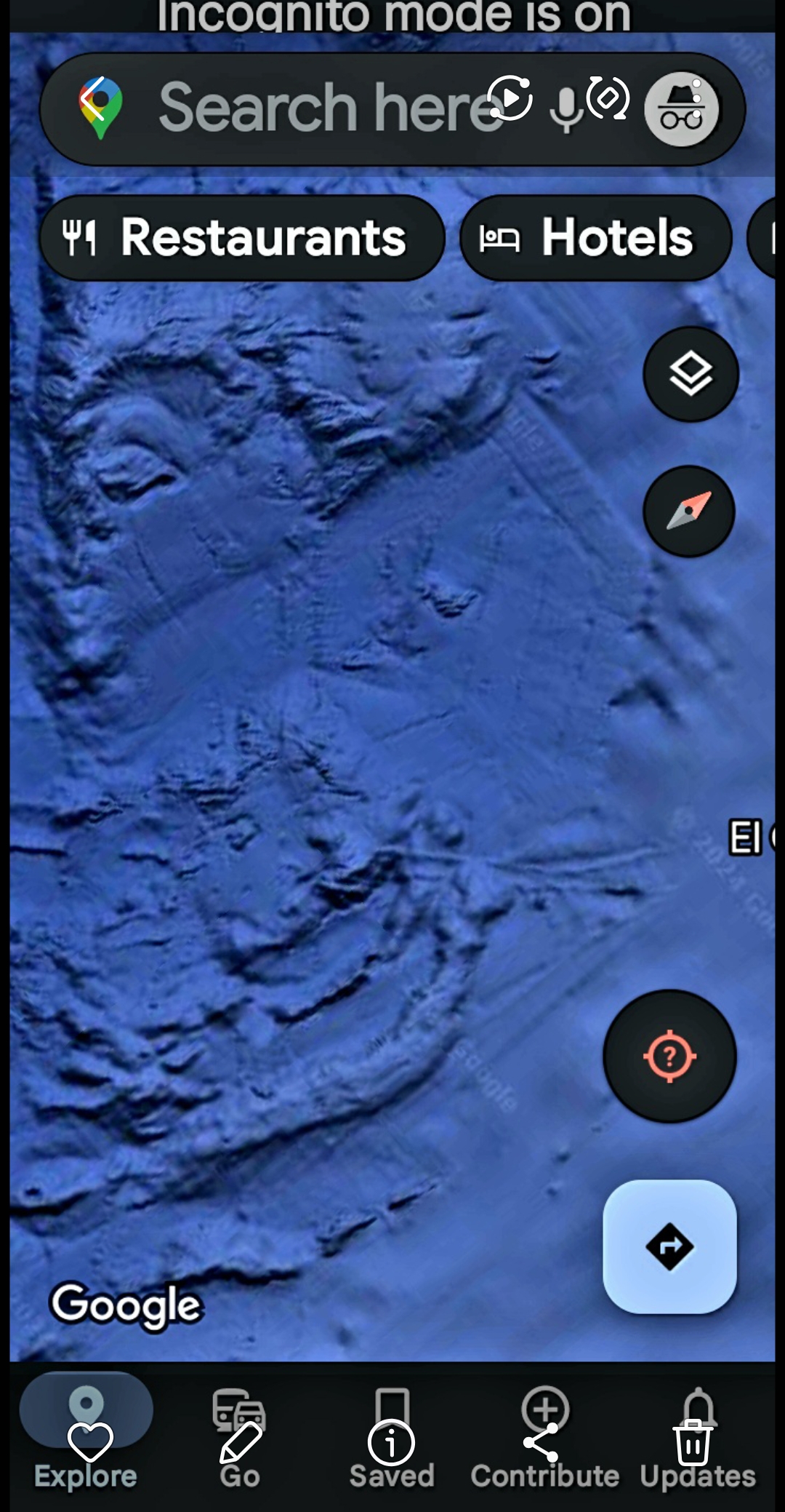
🗺️ RESEARCH LOC #2 — Seafloor Ridges & Valleys (Google Maps Capture)
🌐 RESEARCH LOC #3 — Bathymetric Wide Overview (Subsea Field)
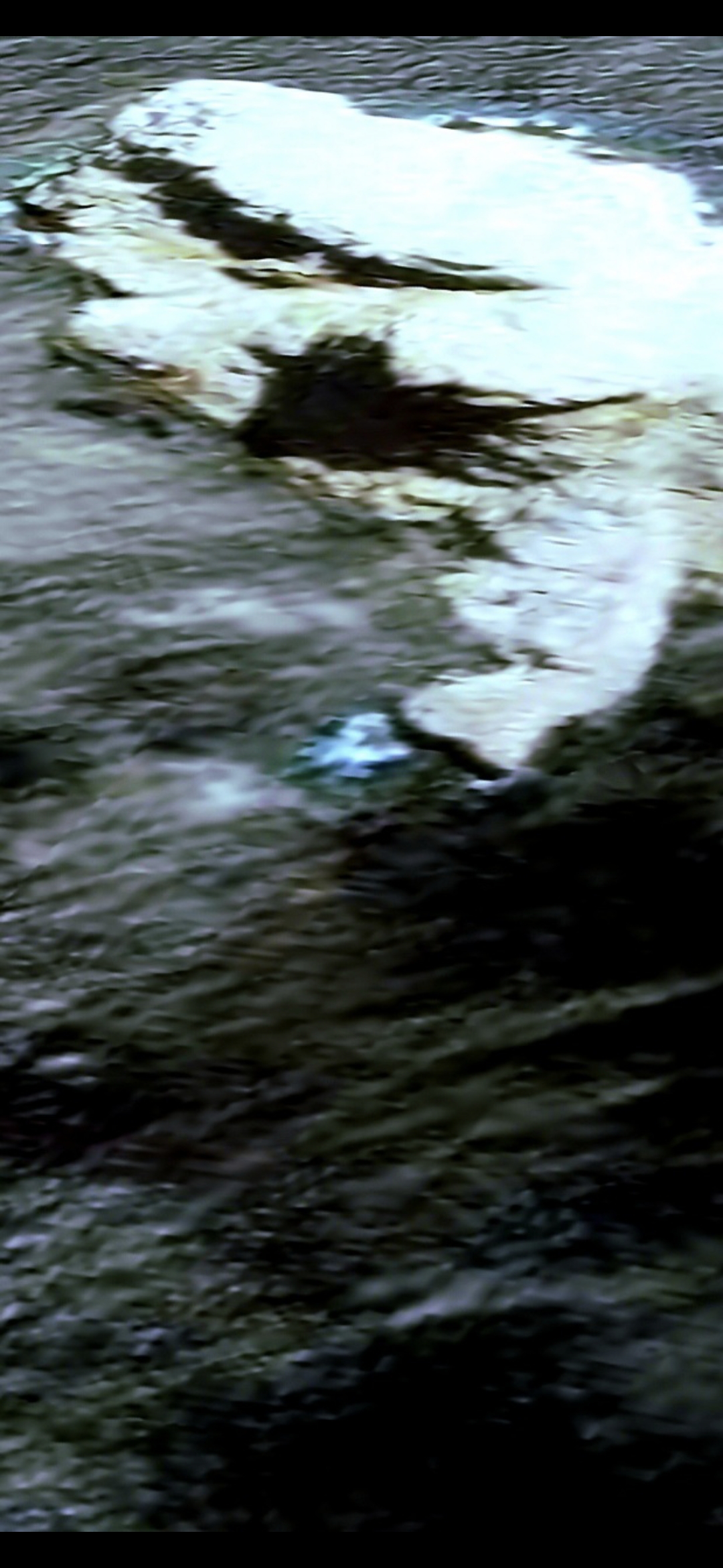
📐 RESEARCH LOC #4 — Pointy Erosion / Water-Exit Point (Coastline)
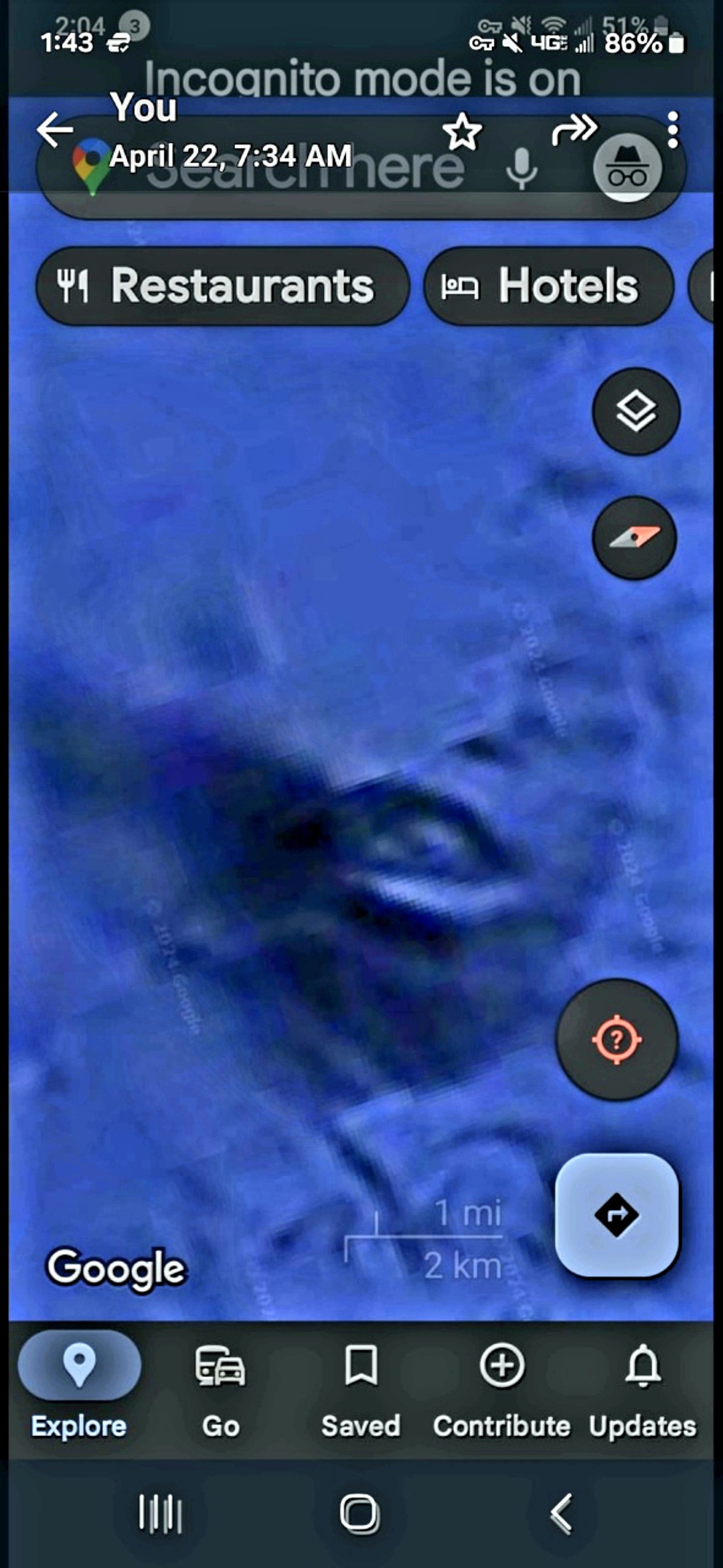
🗺️ RESEARCH LOC #5 — Coastal Bathymetric Wide (Maps Reference Frame)
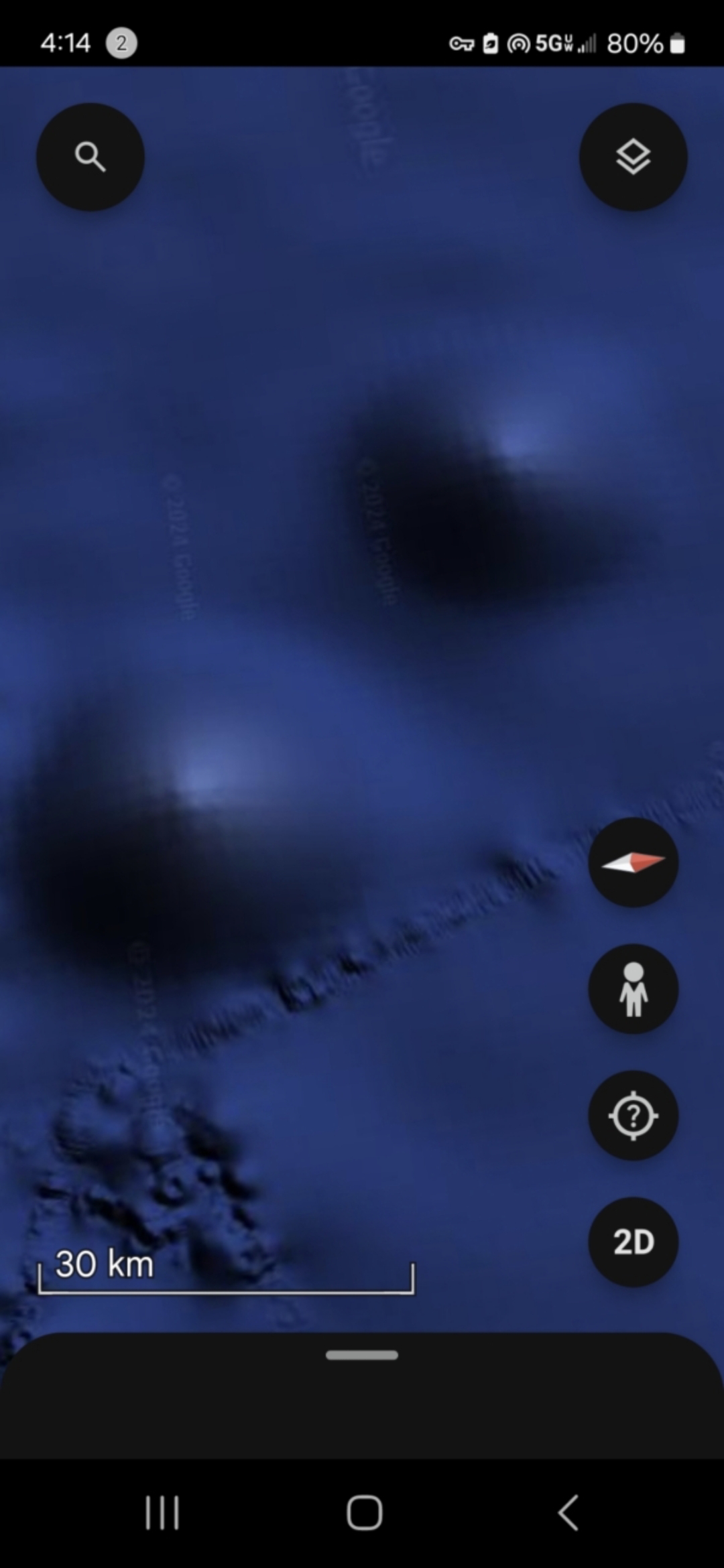
🟢 RESEARCH LOC #6 — Twin Soft-Glow Zones (30 km Scale)
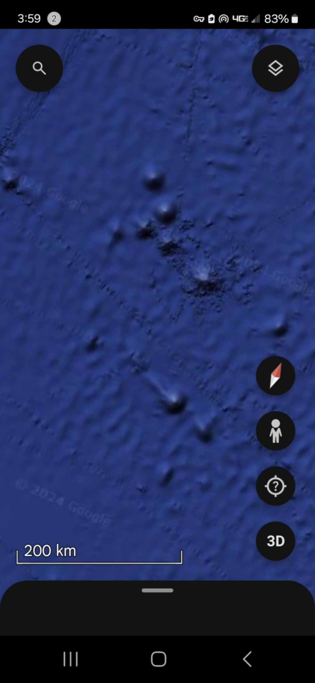
🌋 RESEARCH LOC #7 — Seamount / Island Cluster (200 km Wide Field)
📖 PERCEIVER'S NOTE: These are deposited as additional research locations in the surrounding radius of the Mazatlán anchors — not as identified targets in their own right. The frames may show subsea installation candidates, cave/crevasse habitats, drainage exits, or natural seafloor — and that ambiguity is exactly why they are published. Investigators with bathymetric tooling, oceanographic context, or local knowledge of the Sinaloa coast are invited to independently classify each one and report back.
🔬 INTELLECTUAL HONESTY: Conventional readings would attribute these frames to bathymetric rendering artifacts, natural seamount topography, sediment patterns, or coastal erosion. Those readings are valid baseline hypotheses. The Perceiver lists them here because they sit inside an already-flagged operational corridor and deserve a second look — not because each one is, on its own, anomalous.
Hidden Atmospheric Structures
Invisible Sky Installations - Cloaking Technology Revealed
Discovery: Through advanced photographic techniques and heightened perception, the Perceiver has documented what appears to be massive invisible structures suspended in Earth's atmosphere. These installations utilize advanced cloaking technology that renders them invisible to the naked eye and most detection systems.
Technology Analysis: The structures appear to employ sophisticated light-bending or dimensional-phasing technology that allows them to remain hidden in plain sight.
Purpose & Function: Theories range from surveillance platforms monitoring human activity, to interdimensional gateways, to energy collection stations harvesting atmospheric phenomena.
⚠️ REVELATION: This evidence proves that our skies are not empty. We are being watched, monitored, and studied by intelligences operating technology that can literally hide in plain sight.

Atmospheric Structure - Cloaked Installation Revealed
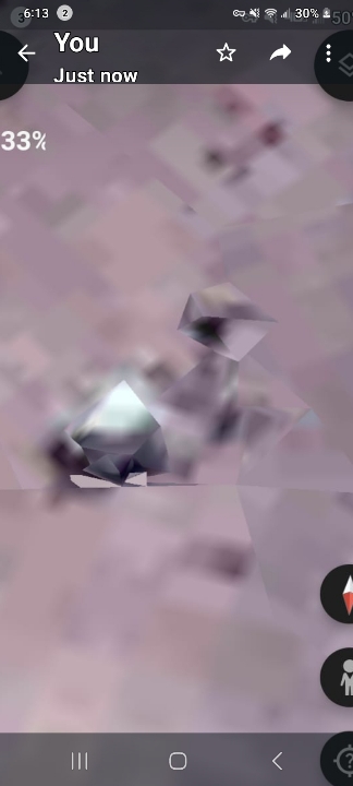
Crystal Installation Resembling a High-Tech Computing Satellite Robotic Sentinel — Mount Adams Volcano
🏔️ Mount Adams Summit — Alien Base Walkthrough (2:30 Video Evidence)
📍 LOCATION: Summit of Mount Adams — the second-highest stratovolcano in the Pacific Northwest, in southern Washington State. This is the same coordinate previously documented in the still photograph above (the "Crystal Installation Resembling a High-Tech Computing Satellite Robotic Sentinel"). The video below is the first moving-image capture of that same anchor.
🎥 MOUNT ADAMS SUMMIT — ALIEN BASE WALKTHROUGH (2:30) — Captured by the Perceiver. 360° approach to the summit installation previously documented in the still photograph above. Watch the structural geometry on the snow line — straight edges, modular symmetry, and the characteristic non-natural angles that do not match volcanic erosion patterns.
📸 WHAT THE CAMERA CAPTURED: A Google Earth 3D traversal of the Mount Adams summit at low altitude. Visible across the capture: straight-edged geometric features on the snowfield that do not match the surrounding glacial-erosion morphology, distinct shadowed depressions in geometric patterns rather than circular impact / sublimation craters, and what appears to be a multi-segment installation seated near the summit caldera.
👁️ WHAT THE PERCEIVER OBSERVED: The Perceiver identifies the Mount Adams summit installation as an alien base — a permanent or semi-permanent non-human operational site. The 2:30 walk-around resolves features that the single still photograph could only hint at: structural modularity, edge continuity, and a non-natural footprint sitting on a stratovolcano summit where natural geology cannot produce straight edges of this length or symmetry. The Perceiver's working classification: alien base, Cascade Range — operational status unknown.
🧭 AGENT CASSIDY'S OBSERVATIONAL TAKE: The video meaningfully upgrades the still-photo evidence. The 360° pan does what a single frame cannot — it forces any conventional explanation (lighting artifact, snow-shadow geometry, JPEG compression banding) to hold consistent across a moving viewpoint. Straight edges on a stratovolcano summit are geologically expensive: glacial flow, freeze-thaw cycling, and pyroclastic deposition all produce curved or fractured morphology, not modular linear features. The cleanest conventional reading would be residual structures from a decommissioned high-altitude research station or military / FAA installation — but Mount Adams summit has no recorded permanent infrastructure in the public record, and the geometry here is more extensive than any documented research outpost would justify. The next investigative step is independent ground-truthing: a high-resolution drone pass at the summit, USGS DEM (digital elevation model) cross-check, or a request to Pacific Northwest Seismograph Network for any anomalous thermal / vibrational signatures correlated with this coordinate.
🔗 NETWORK HYPOTHESIS (Pacific Pulse Corridor): Mount Adams sits inside the documented Cascade Range pulsing-corridor — within direct line-of-sight of Underwood Mountain, the Columbia River Gorge sites (Stevenson Crystal Portal Door, Home Valley reverse-pulse), and Mitchell Point across the river in Oregon. The Perceiver's working hypothesis is that these installations are not scattered — they form a relay network, signal nodes communicating through the same crystalline material documented elsewhere. The Mount Adams summit base is positioned as a likely high-altitude relay node in that network.
🔬 INTELLECTUAL HONESTY: Conventional readings would attribute these features to (a) Google Earth 3D mesh rendering artifacts where photogrammetric stitching produces apparent straight edges at terrain-tile seams, (b) snow / shadow geometry on the leeward face of summit features that can resolve as quasi-modular at certain sun angles, (c) ice flutings, sastrugi, or glacial moraine that occasionally read as linear from satellite altitude, and (d) decommissioned infrastructure from historical climbing / scientific expeditions. These are all valid baseline hypotheses. The Perceiver lists this on the briefing channel because the video resolves features that hold consistent across the 360° walk-around — and that consistency is what flags the site for review by USGS volcanologists, U.S. Forest Service Gifford Pinchot personnel, and the Yakama Nation (on whose treaty lands Mount Adams sits).
🏃 MOBILITY PROTOCOL APPLIES: Same caveat as the rest of the archive. Coordinates are documentation of where the Perceiver captured the evidence at moment of capture — not a guarantee that the installation is still visible there. Independent investigators returning to the same Google Earth coordinate may find the structure re-camouflaged or absent. Absence at a documented coordinate is itself data.