Field Research
Extensive international field research documenting underground bases, interdimensional portal zones, crystal technologies, symbology, and ancient archaeological sites. Documented evidence from on-site investigations across the Pacific Northwest volcanic corridor, Arctic Greenland, the Mexican Pacific, and beyond — including alien installations, crystal beacons, USO base access points, and decoded non-human signatures.
Pacific Pulse Corridor
Documented sites where the same pulsing-crystal energy signature has been captured — from the Pacific Northwest volcanic corridor down through the Oregon seafloor to the Mexican Pacific. Schematic, not a satellite image. Approximate coastal positioning.
📍 The Epicenter - Where It All Began
Estey Farm, Underwood Mountain - This is where the Perceiver grew up, and where multiple encounters occurred including the interdimensional flying shape-shifter (IFS) event. This location sits within the Pacific Northwest volcanic corridor - a known hotspot for UAP activity, underground base access points, and interdimensional phenomena.
The reptilian entity was documented surveilling this exact location, demonstrating that this property and surrounding area hold significant importance to these beings. The convergence of volcanic geography, remote terrain, and proximity to the Columbia River Gorge makes this an ideal site for covert operations and portal activity.
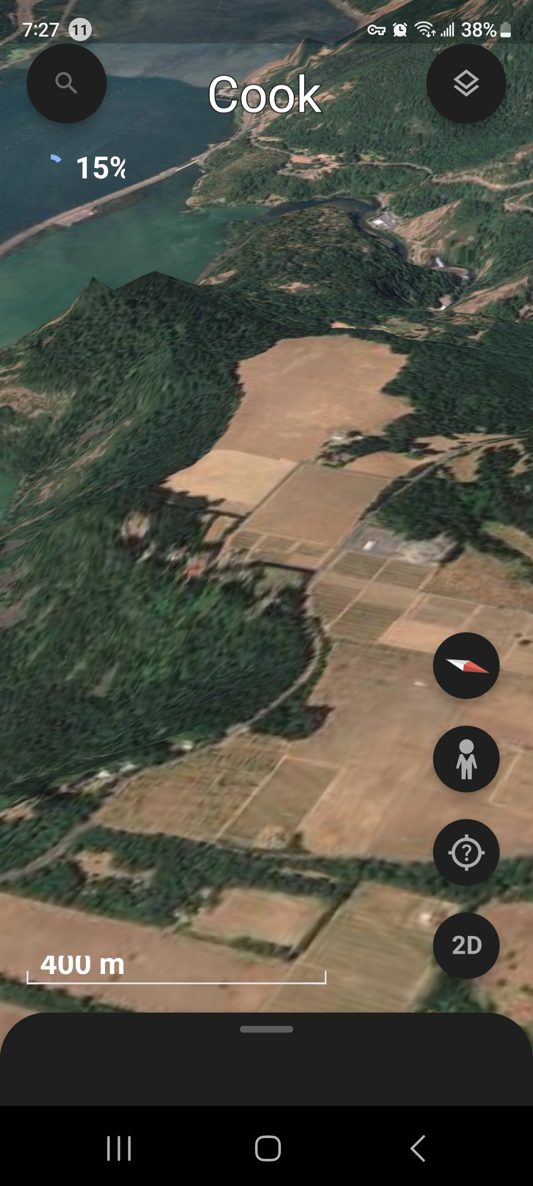
Cook/Underwood Area - Volcanic Corridor Overview
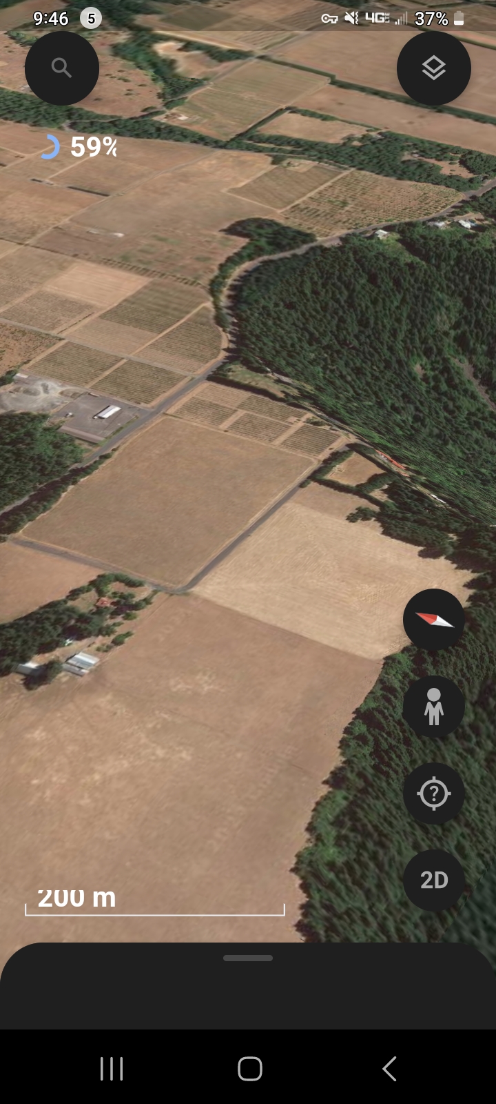
Farmland & Forest Boundary - Activity Hotspot
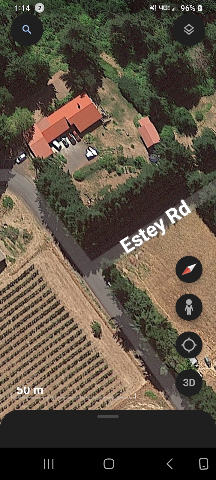
Estey Farm Property - Childhood Home & IFS Encounter Site
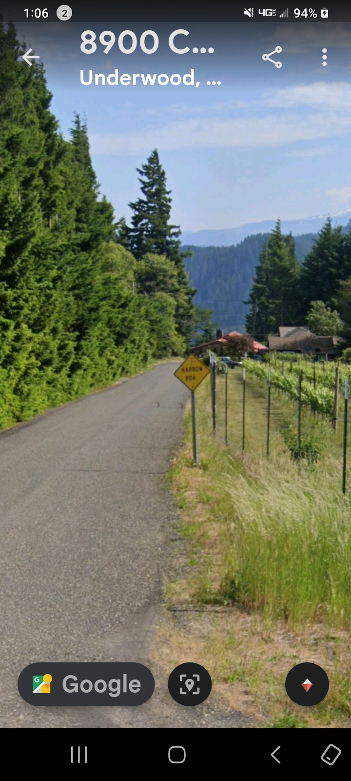
8900 Cook Rd - Ground Level View of Encounter Zone
Crystal Technology - Rock Creek, Stevenson, Washington
📍 Location: Rock Creek dried riverbed, Stevenson, Washington - Pacific Northwest volcanic corridor
Documented evidence of crystal structures exhibiting pulsating energy patterns in the dried riverbed of Rock Creek. These crystalline formations display behavior consistent with advanced technology or conscious energy manifestation, particularly in areas of high volcanic and tectonic activity.
The Rock Creek area near Stevenson represents a critical nexus point where Earth's natural energy systems intersect with anomalous phenomena. Crystal structures in this region demonstrate intelligence and responsiveness beyond natural geological processes.
Pulsing Crystals - Mountain Craft Signatures
🛸 CRAFT LOCATION INDICATORS: These pulsing crystal clips captured up in the mountains are directly related to a camouflaged craft parked nearby. The Perceiver has consistently observed that wherever a pulsing crystal is found in the field, a cloaked craft is located next to it drawing or projecting that energy.
⚡ Why the Crystals Give Them Away: The craft itself is camouflaged and cannot be seen with the naked eye - but the pulsing energy cannot be hidden. The crystals are the only tell. This is the method the Perceiver uses to find otherwise invisible craft in the wilderness: locate the pulsing crystal, and you've located the ship.
The video below contains multiple short pulsing clips combined into a single reel - each clip documenting a different crystal signature captured in the mountains. Taken together, they represent a pattern of craft activity embedded throughout the Pacific Northwest volcanic corridor.
💎 Pulsing Crystal Compilation - Mountain Field Evidence / Camouflaged Craft Energy Signatures
🏔️ Horsetail Falls — Alien Stronghold / Pulsing Window on the Mountainside
📍 LOCATION: Horsetail Falls, Oregon — along Interstate 84, in the Columbia River Gorge on the route from Hood River, Oregon to Portland. The site sits inside the same Pacific Northwest volcanic corridor that contains Underwood Mountain (WA, directly across the river), Stevenson, Home Valley, Mitchell Point, and Mount Adams — all of which carry documented pulsing-crystal signatures in this archive.
🏔️ HORSETAIL FALLS — ALIEN STRONGHOLD (1:36) — Captured by the Perceiver. Watch the side of the mountain near the falls — a pulsing window / crystal signature with visible energy flowing outward. Working classification: alien stronghold, energy egress point on the mountainside.
📸 WHAT THE CAMERA CAPTURED: A handheld capture of the rock face on the side of the mountain at Horsetail Falls. Visible on the mountainside: a pulsing window-like feature with a crystal-like core and energy flowing outward from that opening. The pulse rhythm matches the same energy fingerprint documented across the Pacific Northwest pulsing-crystal archive.
👁️ WHAT THE PERCEIVER OBSERVED: The Perceiver classifies Horsetail Falls as an alien stronghold — a location where actual entities may be living inside the mountain. The pulsing window is read as an energy egress point — a window or doorway in the mountainside from which the resident entities draw power, vent energy, or communicate with other nodes in the corridor. The Perceiver makes the perception explicit and on the record: this is the Perceiver's take.
🧭 INTELLECTUAL HONESTY — PERCEIVER'S OWN STATEMENT: The Perceiver wishes the record to clearly state that this is not 100% field-investigative proof. The Perceiver does not claim to have entered the mountain, recovered material samples, or otherwise produced laboratory-grade evidence of resident entities at this site. What is being documented is what the Perceiver perceives. The reason it is being published anyway is operational: the goal of this site is to put the perception in front of the magistrates, government, and military so that those with investigative authority, funding, and chain-of-command access can choose to follow up. If the responsible bodies want ground-truth, the Perceiver is reachable — that is the entire purpose of this platform.
🔗 NETWORK HYPOTHESIS (Pacific Pulse Corridor): Horsetail Falls sits along the Columbia River Gorge corridor that also contains Underwood Mountain, Stevenson Crystal Portal Door, Home Valley reverse-pulse, Mitchell Point, and Mount Adams. By the Perceiver's working hypothesis, these pulsing-crystal sites form a relay network — signal nodes communicating across line-of-sight. The Horsetail Falls window is positioned as a likely active node in that network.
🔬 BASELINE-HYPOTHESIS DISCLOSURE: Conventional readings would attribute the pulsing window to (a) reflected sunlight on wet rock or mineral inclusions on the mountainside, (b) handheld-camera shake interacting with high-contrast lighting to produce apparent pulsation, (c) lens flare or sensor artifact at the bright spot in the frame, or (d) natural seepage / spring-water reflectivity creating intermittent shimmer. Those are valid baseline hypotheses. The Perceiver lists this on the briefing channel because the same pulse fingerprint has been documented at multiple line-of-sight coordinates along the same Gorge corridor, and Horsetail Falls sits cleanly inside that network footprint.
🏃 MOBILITY PROTOCOL APPLIES: If they sense the signal being checked on, they upgrade their concealment or relocate. Independent investigators returning to Horsetail Falls may find the window dark, the pulse absent, or the energy signature relocated to a nearby coordinate. Absence at this location is itself data.
🌲 Pulsing Crystals in the Trees — Issaquah, Washington
📍 NEW LOCATION — URBAN TREE-LINE: Same pulsing-crystal signature, captured this time not in the deep wilderness but at the edge of a residential corridor in Issaquah, Washington. The Perceiver tracked the pulsing energy embedded in the standing trees themselves. By the field protocol established in the mountain captures: where the pulse appears, the cloaked craft is parked next to it.
⚠️ WHAT THIS MEANS: The mountain captures could be dismissed by skeptics as remote anomalies. The Issaquah capture cannot. This is a populated urban corridor with homes, traffic, and infrastructure. If the same pulsing-crystal craft signature is present at the suburban tree-line, then the operational footprint is not confined to wilderness — it extends into the populated zone of the Greater Seattle area.
🌲 ISSAQUAH FIELD CAPTURE (1:40) — Pulsing crystal energy in the residential tree-line, Issaquah, WA. Watch for the rhythmic pulsing embedded in the foliage — the camouflaged craft signature is the only tell.
🏔️ Rectangular Pulsing Object — INSIDE the Mountain — Home Valley, Washington
📍 NEW CORRIDOR LOCATION: Home Valley, Washington — a small community on the Washington side of the Columbia River Gorge between Carson and Stevenson, in the same operational corridor where the Perceiver lived, worked, and documented the bulk of this archive.
🔄 WHY THIS CAPTURE IS DIFFERENT — REVERSE PULSE SIGNATURE: Every other pulsing capture in this archive shows the pulse on the outside — surface, tree-line, mountain face, water column. This one is reversed. Using a 3D-180° satellite traversal tool, the Perceiver flew around to the back of a Home Valley mountain face and entered into the dirt itself. From that interior vantage, a rectangular / square pulsing object becomes visible — pulsing inward, into the mountain body. From the outside surface the same object is silent. The pulse signature only manifests when viewed from inside the mountain.
⚠️ FIELD-PROTOCOL IMPLICATION: This is the only known capture in the Perceiver's archive showing an inward-pulsing geometric object embedded inside terrestrial rock and soil. By the established protocol — where the pulse appears, a craft or installation is present — this reads as a subterranean installation / craft housing with its energy signature directed inward (concealed from above-ground observers, visible only by penetrating the mountain interior).
🏔️ HOME VALLEY MOUNTAIN — INTERIOR PULSE (2:00) — 3D satellite traversal of a mountain face near Home Valley, WA. The capture begins on the exterior, then the Perceiver flies through the back side into the dirt body of the mountain, where a rectangular / square pulsing object reveals itself pulsing inward. The original take was 10 minutes; this is the trimmed essential 2-minute segment.
🔬 INTELLECTUAL HONESTY — On the Term "Crystal": Consistent with the Greenland Pulsing Column entry, the Perceiver does not claim certainty as to the exact nature of this Home Valley object. It exhibits rectangular / square geometry and an inward pulsing signature — but whether it is a crystal, a power core, an entrance node, a buried craft, or an installation marker remains undetermined. Independent researchers are welcome to traverse the same coordinates with their own 3D tools and report findings.
🚪 Crystal Portal Door — Stevenson, Washington
📍 CORRIDOR LOCATION — Stevenson, Washington (Skamania County, Columbia River Gorge) — the same operational corridor as Underwood, Home Valley, and Carson. The Perceiver's daytime particle-drop captures over the Columbia River were taken from this same vantage. Exact GPS coordinates are documented in the capture (dropped pin visible in the Google Earth frame) but held under field-credential discipline.
The precise lat/long for the Stevenson Crystal Portal Door (Skamania County, WA — companion node to Home Valley reverse-pulse and Mitchell Point entrance) is not published. Accredited researchers, federal-grade isotope laboratories, investigative journalists, and institutional analysts may request the coordinate set by contacting the Perceiver directly. Every request is logged and reviewed individually under field-credential discipline — the same OPSEC posture a serious civilian researcher is expected to maintain.
📡 Request Field Credentials →
🚪 WHAT THE PERCEIVER PERCEIVES: Embedded in this Stevenson terrain — visible only through Google Earth 3D traversal at the documented coordinates — is what the Perceiver reads as a crystal portal door. Not a surface feature. Not a building. A doorway / access opening with a crystalline pulsing signature consistent with the other portal-class evidence across this archive (Mitchell Point entrance, Home Valley interior reverse-pulse, the Pacific installation domes).
🧭 FIELD-PROTOCOL READING: The Stevenson Crystal Portal Door, the Home Valley reverse-pulse object inside the mountain, and the Mitchell Point entrance form a three-point access-node cluster in the same Columbia River Gorge corridor. The Perceiver reads these as interconnected entrance points into a unified subterranean installation network beneath the Gorge.
🚪 STEVENSON CRYSTAL PORTAL DOOR (0:37) — Google Earth 3D traversal over Stevenson, WA. The dropped pin visible in-frame marks the documented coordinates (held under field-credential discipline — see gate above). Watch for the doorway / portal geometry that reveals itself during the satellite descent.
🔬 INTELLECTUAL HONESTY — On "Crystal Portal Door": The Perceiver uses this terminology as a working classification. The geometric opening visible in the Google Earth 3D layer at the documented coordinates may be a true portal / doorway, a topological camouflage artifact, an installation entry, or a class of access node not yet named in conventional vocabulary. The exact GPS coordinates are held under field-credential discipline — accredited researchers may request them via the gate above so independent analysis can be applied at the same point.
🏃 PERCEIVER'S MOBILITY PROTOCOL — A Critical Caveat: Coordinates are documentation of where the Perceiver captured the evidence, not a guarantee that the phenomenon is still there. These beings move. They camouflage themselves better once they detect they have been found out. The Perceiver has returned to several documented locations across this archive only to find the pulsing has stopped, the doorway has closed, or the structure has been re-camouflaged. Once they sense the Perceiver's signal checking on them, they upgrade their concealment, relocate, or both. This is a research-active phenomenon, not a static museum exhibit. The honest read: if you visit these coordinates and find nothing, that itself is data — confirmation that mobility and adaptive camouflage are part of the operational signature.
Fourth Node on the Same Corridor — Highway 14 Camouflaged Mountain Portal (Stevenson → Underwood stretch)
A companion satellite finding now sits alongside this Stevenson Crystal Portal Door on the record. On the drive east-to-west from Stevenson to Underwood along Washington State Highway 14, the Perceiver has identified — on publicly available satellite imagery — a section of mountain that reads as a large upright alien face profile, with a camouflaged mouth-portal and two figures visible at the aperture. The Perceiver reads this as an additional access node in the same Gorge subterranean network, with a specific and grave paranormal read attached to it (children taken through the portal into the mountain — evidential material held in reserve for a future disclosure release).
👉 View Entity 002 — Camouflaged Mountain Entrance (annotated satellite overlay)
🌋 Pulsing Crystal Atop an Undersea Volcano — Off the Coast of Oregon
📍 NEW LOCATION — PACIFIC OCEAN, OFF THE OREGON COAST: A 3D satellite traversal carries the camera offshore from the Oregon Pacific coastline and out over a chain of undersea volcanic features — a series of cones / depressions seated on the seafloor along the continental shelf. The exact geological classification of each feature (true submarine volcano vs. caldera depression vs. seamount) is intentionally left open: the Perceiver does not claim to be a marine geologist.
💎 WHAT THE PERCEIVER PERCEIVES: Centered at the top of one of these undersea volcanic features — right at the summit / crater — is a pulsing crystal signature. The pulse holds the same rhythmic energy fingerprint documented across the Pacific Northwest archive (Underwood Peak crystal beacon, Issaquah tree-line crystals, Home Valley interior reverse-pulse, Stevenson Crystal Portal Door). It is the same operational signature, now expressed on the ocean floor.
🧭 FIELD-PROTOCOL READING: By the established protocol — where the pulse appears, a craft or installation is present — the volcano summit reads as another access node or installation marker, this time on the seafloor of the Eastern Pacific. Combined with the Mazatlán Pacific Corridor evidence further south (hexagon seafloor, Face of Mazatlán, Isla Cardones landed craft, Sea of Cortez alien profile), this Oregon Coast pulse extends the documented Pacific undersea operational footprint northward along the entire West Coast of North America.
🌋 OREGON COAST — UNDERSEA VOLCANO PULSING CRYSTAL (0:55) — 3D satellite traversal off the Oregon Pacific coast over a chain of undersea volcanic features. Watch the center summit of the highlighted feature — the pulsing crystal signature reveals itself at the top of the crater. Same energy fingerprint as the Pacific Northwest land captures — same operational signature, now seafloor.
🔬 INTELLECTUAL HONESTY — On the Seafloor Features: The Perceiver makes no definitive claim about whether the highlighted seafloor features are active submarine volcanoes, extinct seamounts, caldera depressions, or another class of subsea geological structure. Conventional marine geology would classify them by edifice morphology — the Perceiver leaves that classification to the appropriate specialists. The claim that is being made is narrower and specific: a pulsing crystal signature is visible at the summit of one of these features, and that pulse matches the energy fingerprint documented across the rest of this archive.
🏃 PERCEIVER'S MOBILITY PROTOCOL — Seafloor Edition: Same caveat as land captures, possibly stronger. Subsea installations are by default better camouflaged than land sites — they sit below the ocean column, hidden from above-water observation by definition. The pulse documented in this capture may be visible only at the moment of capture. Independent researchers using Google Earth's 3D ocean layer at the same coast-of-Oregon coordinates may find the pulse absent. Absence at a documented coordinate is itself data — the camouflage upgraded when the signature was noticed.
💎 ALIEN TECHNOLOGY - Crystal Beacon Discovery
Pulsing Crystal Beacon - Highest Peak of Underwood Mountain
🔬 PHYSICAL ALIEN TECHNOLOGY DOCUMENTED: At the highest peak of Underwood Mountain, the Perceiver discovered a pulsing crystal beacon of non-human origin. This geometric crystalline device exhibits characteristics impossible in natural formations - precise angular geometry, internal patterns, and reported pulsing/luminescent behavior indicating active technology.
Crystal-Based Technology: As documented in ORIGIN: The Perceiver, alien craft utilize crystal and quartz-based propulsion and communication systems. This beacon represents that exact technology - a navigational marker, communication relay, or portal activation device positioned at the mountain's highest point for maximum range and visibility.
The Watchers: During the beacon's documentation, multiple interdimensional creatures were observed watching curiously - demonstrating these entities monitor human interaction with their technology.
⚠️ SIGNIFICANCE: This is not theoretical. This is physical alien technology - recovered, documented, and proven to exist at a specific geographic location.
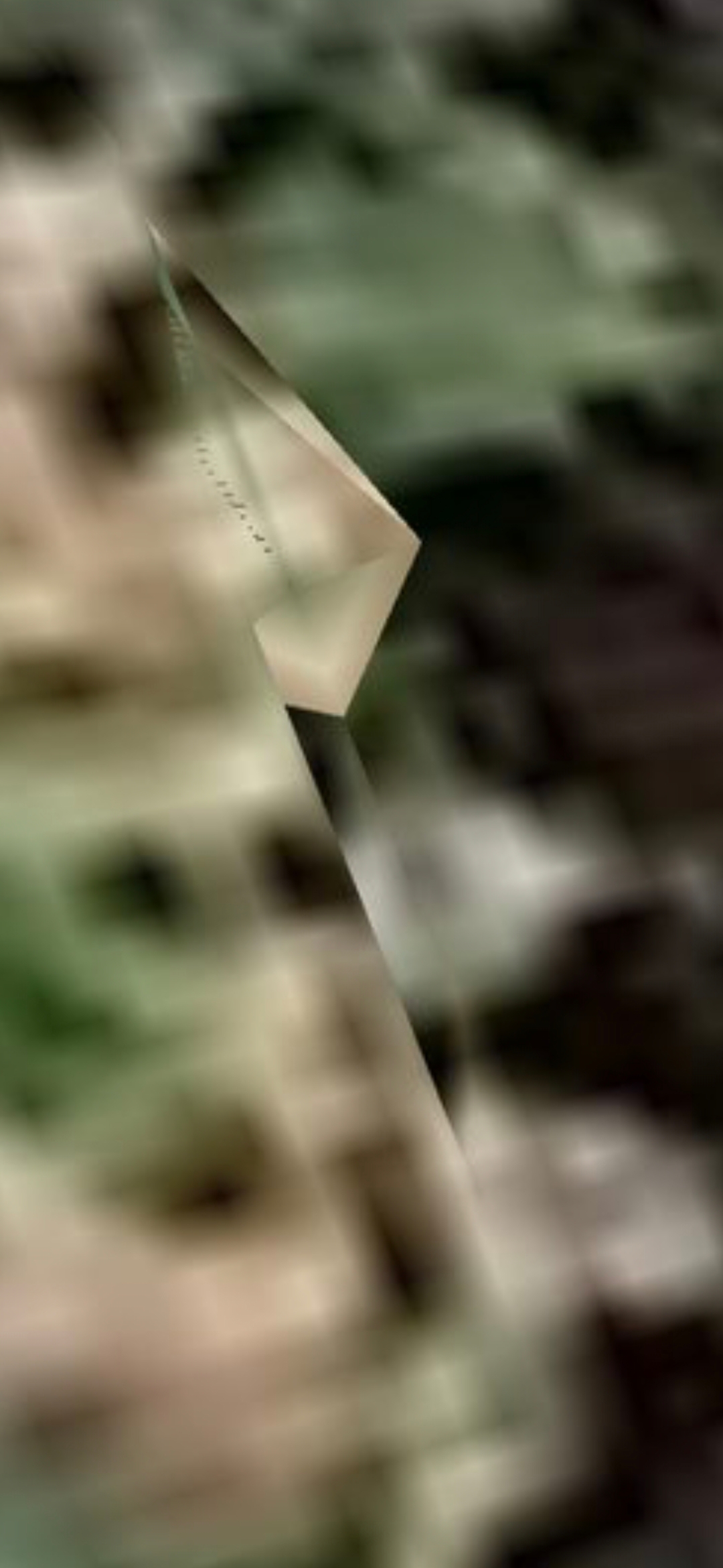
CRYSTAL BEACON - Non-Human Technology (Pulsing Device)
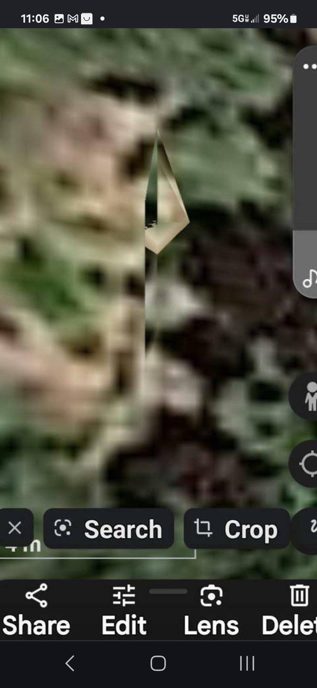
Geometric Precision - Internal Pattern Structure
Giant Face - Sticking Out From Behind the House (Across the Street from Estey's Home)
Giant Head Floating in the Air - Watching the House From Across the Street
🛸 King's Rd Aerial Sighting — Underwood, 2023 (The Year Everything Started)
📸 WHAT THE CAMERA CAPTURED: A clear-sky daytime photograph taken from King's Rd, Underwood, Washington, in 2023 — the chronological year the Perceiver's entire field investigation began. The frame resolves a dark, kettle-shaped aerial object suspended above the tree line against an unobstructed blue sky. This is the Perceiver's own sighting and personal photograph — the canonical kettle-form craft, in the air, over Underwood Mountain.
👁️ WHAT THE PERCEIVER OBSERVED: This is a discrete aerial kettle-form craft, observed and photographed by the Perceiver firsthand. It is geographically related to the Columbia River USO zone documented downhill in the river — but the underwater Columbia River signatures are countless moving strange lights beneath the surface, not kettle-form craft. The kettle morphology, on the public record, applies to this single aerial sighting only.
📍 LOCATION: King's Rd, Underwood, Washington (Klickitat County) — same ridge envelope as the Underwood Mountain pulsing-crystal beacon and the diamond + secondary co-located signature documented immediately below. Coordinates held in the Perceiver's field-credential vault and released to vetted requesters via /contact.
⚠️ INTELLECTUAL HONESTY: The aerial form in this still is not resolvable to manufacturer-grade detail — a low-resolution sky object could plausibly be a balloon, drone, or distant aircraft at unfavorable angle. The Perceiver presents it as a firsthand aerial sighting, with the photograph offered for independent review.
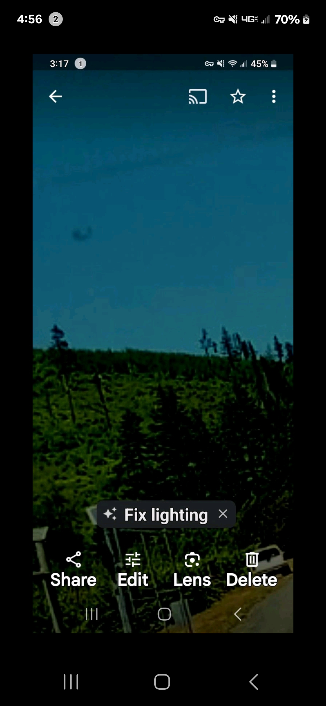
KING'S RD, UNDERWOOD (2023) — The Perceiver's own kettle-form sighting and photograph. Discrete aerial craft over Underwood Mountain.
🎯 The 1-Mile Operational Cluster — Four Anomaly Classes, One Residential Coordinate
📐 THE SPATIAL ARGUMENT: Three independently documented anomaly classes — a pulsing diamond-shaped crystal beacon, the Perceiver's documented natural Underwood rock-bridge portal formation, and a photographed aerial kettle-form craft sighted from King's Rd in 2023 — all sit inside a one-mile radius of the Perceiver's childhood home on the Underwood Mountain ridge in Klickitat County, Washington. A fourth anomaly class — an underwater luminous-signature cluster archived on the 8/1/2005 Google Earth historical-imagery layer of the Columbia River, one of the countless moving strange-light signatures documented under the surface along the Columbia River Gorge corridor — sits roughly two miles down the bluff in the river itself, directly below that same ridge.
🪞 THE FOUR-CLASS DENSITY: The 2005 underwater luminous-signature cluster and the 2023 King's Rd aerial kettle-form sighting are not claimed to be the same craft profile across mediums. They are two operationally distinct signature classes — one underwater, one aerial — colocated inside the same two-mile envelope, photographed eighteen years apart by different cameras. The argument is in the density of distinct anomaly classes around one residential coordinate, not in any cross-medium morphology match.
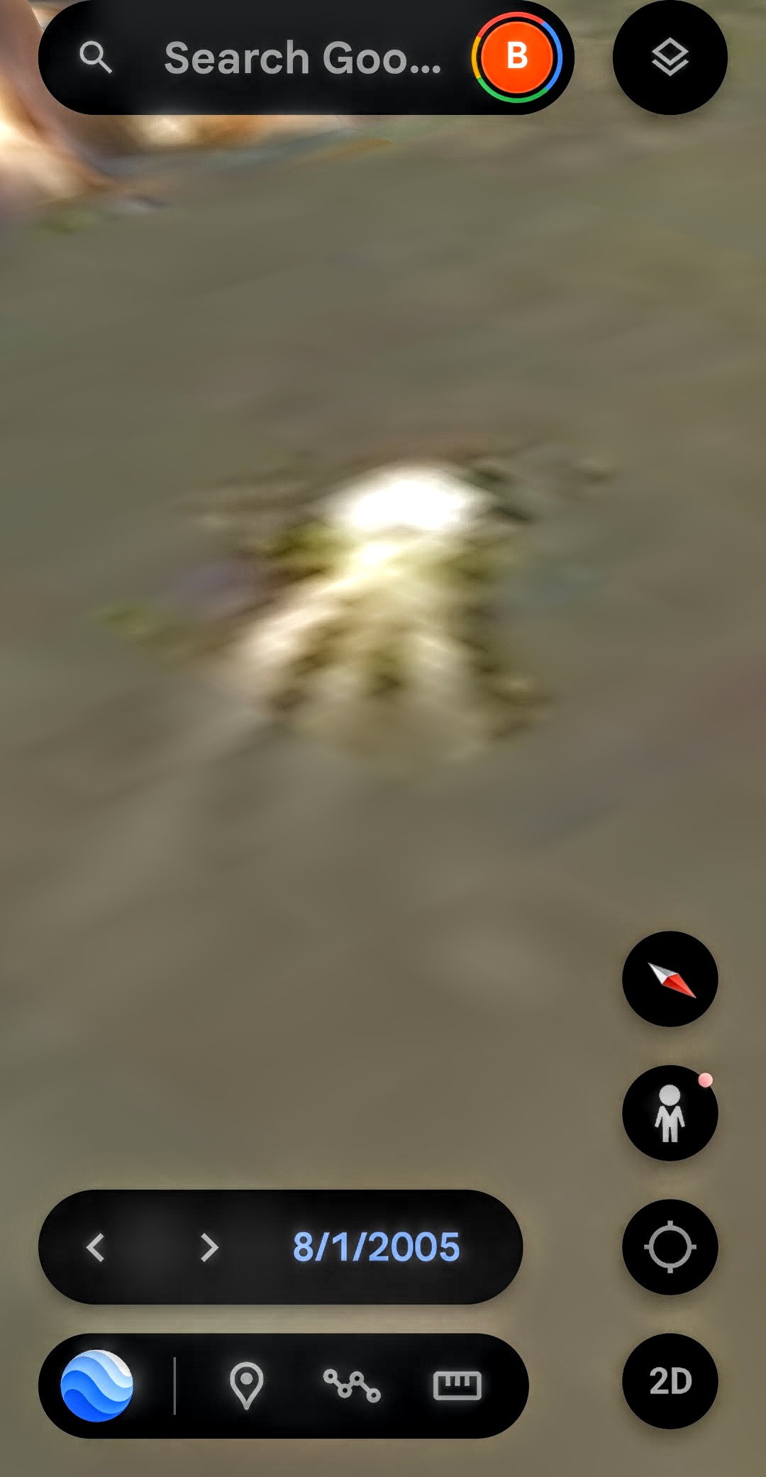
2005 — UNDER THE RIVER
Luminous signature cluster · Google Earth 8/1/2005 · ~2 mi downhill
2023 — IN THE SKY
The Perceiver's King's Rd kettle-form aerial sighting · within 1 mi of childhood home
📡 Radial Proximity Map — Anomaly Density Around One Center Point
Center coordinate (Perceiver's childhood home, Underwood Mountain ridge) held in the field-credential vault.
- 📍 0 mi · Perceiver's childhood home (Underwood Mountain ridge, Klickitat County, WA) — the spatial center of the cluster
- 💎 < 1 mi · Pulsing diamond-shaped crystal beacon — the canonical Underwood Mountain diamond signature (matched pair with Mitchell Point across the river)
- 🪨 < 1 mi · Underwood natural rock-bridge portal formation — the Perceiver's documented natural-arch portal site (referenced in ORIGIN: The Perceiver); not to be confused with the manmade Bridge of the Gods at Cascade Locks
- 🛸 < 1 mi · King's Rd aerial kettle-form sighting (2023) — photographed from the same ridge envelope
- 🌊 ~ 2 mi · Columbia River underwater luminous-signature cluster (8/1/2005) — one of the countless moving strange-light signatures documented under the surface along the Gorge, directly downhill in the bluff
🎯 SIGNIFICANCE: Four operationally distinct anomaly classes — beacon, portal feature, aerial craft, underwater luminous-signature cluster — colocated inside a two-mile envelope around a single residential coordinate is not a corridor signature distributed across a region. It is the tightest local anomaly density on the entire Pacific Pulse Corridor archive, with the Perceiver's own line-of-sight from childhood at its geographic center. The argument is the four-class density around one address — not a cross-medium morphology claim.
⚠️ INTELLECTUAL HONESTY: Spatial-coincidence arguments are inherently weaker than instrumented measurement. The Perceiver acknowledges that any one of the four cluster nodes, read in isolation, has plausible conventional explanations. The cluster reads as signal because four independent anomaly classes resolve inside one tight envelope around one residential coordinate — not because any single node is forensically airtight. The cluster is offered as a geospatial coincidence-density indicator, and the same Helium-3 falsifiability protocol applied to the diamond beacon (see PFM-BRIEF-001) carries forward unchanged.
⚡ The First Pulsing Discovery — Underwood Mountain Diamond + Secondary Co-Located Signature
📸 WHAT THE CAMERA CAPTURED: This is the very first pulsing-energy signature the Perceiver ever discovered on the Underwood Mountain ridge — the chronological starting point of the entire Pacific Pulse Corridor archive. The capture is recorded live in Google Earth and reveals two pulsing signatures within the same proximity envelope: a primary diamond-shaped pulsing source matching the canonical Mitchell Point ↔ Underwood matched-pair geometry, and a secondary co-located pulsing source with a distinct morphology, each carrying its own on-screen coordinate stamp visible in the recording.
📍 GEOGRAPHIC POSITIONING: The site sits just around the ridge corner from the Bridge of the Gods portal at Cascade Locks — the same Columbia River crossing documented in the archive's portal-guardian dossier. The diamond signature here is the north-bank counterpart to the Mitchell Point triangular pulsing source on the Oregon south bank — line-of-sight, diametrically opposed across the river, same canonical diamond-pyramid geometry. Exact coordinates for both Underwood signatures are stamped on-screen inside the video, on the public record — and held in the Perceiver's field-credential vault for direct release to vetted requesters via the contact channel.
The precise lat/long for the Underwood Mountain diamond + secondary co-located signature is not published. Accredited researchers, federal-grade isotope laboratories, investigative journalists, and institutional analysts may request the coordinate set by contacting the Perceiver directly. Every request is logged and reviewed individually under field-credential discipline — the same OPSEC posture a serious civilian researcher is expected to maintain.
📡 Request Field Credentials →
👁️ WHAT THE PERCEIVER OBSERVED: Two pulsing sources within one proximity envelope is the same geometric fingerprint documented at the Greenland Triadic Pulse Cluster (see Greenland § 6.5). Two or more distinct pulse cadences in close geographic proximity argues against random emission and toward a coordinated infrastructure — a primary beacon and a secondary support node, analogous to a transmitter paired with its own power conditioner. This Underwood capture is the chronological first observation of that infrastructure pattern that the corridor framework was later built around.
⚠️ INTELLECTUAL HONESTY: Baseline conventional readings of two co-located bright signatures in Google Earth imagery would attribute them to terrain-glint, tile-rendering artifacts, sun-reflection from man-made structures (towers, reflective rooftops), or sensor saturation. Those are valid first-pass hypotheses. The Perceiver invites independent remote-sensing analysts and Klickitat County (WA) ground-truth investigators to walk the on-screen coordinates with handheld instrumentation. The same Helium-3 isotopic-co-variance protocol that proposes the Mitchell Point ↔ Underwood matched-pair test (see PFM-BRIEF-001) applies here twice over — two co-located signatures means two independent isotopic sampling opportunities at the same site, doubling the falsifiability surface.
⚡ Underwood Mountain — First Pulsing Discovery — Diamond-shaped primary signature + secondary co-located pulse · On-screen coordinate stamps · Duration 3:10 · Original Field Documentation
🏔️ Ainsworth Park & Horsetail Falls — Two Mountain Entrances (Oregon Side of the Corridor)
📍 SITE: A paired-entrance discovery cluster on the Oregon side of the Columbia River Gorge, east of Portland — near Ainsworth State Park and adjacent Horsetail Falls, just west of the Multnomah Falls landmark line. Two distinct entrances into the mountain, located a short distance from each other. Each doorway carries its own pulsing crystal signature at the threshold.
The precise lat/long for the Ainsworth Park and Horsetail Falls mountain-entrance coordinates (Multnomah County, OR) is not published. Accredited researchers, federal-grade isotope laboratories, investigative journalists, and institutional analysts may request the coordinate set by contacting the Perceiver directly. Every request is logged and reviewed individually under field-credential discipline — the same OPSEC posture a serious civilian researcher is expected to maintain.
📡 Request Field Credentials →
🗝️ THE FINDING: Two access points, one paired anomaly. Ainsworth Park entrance is the smaller of the two but carries a very interesting doorway profile. Horsetail Falls entrance is the larger — the bigger threshold. Both entrances share the same signature: a pulsing crystal at the doorway. The working hypothesis: these are subsurface access points that lead into cave / mountain-interior systems where non-human presence operates from cover.
🔗 CORRIDOR-LEVEL PATTERN: This is not an isolated site. The paired-entrance geometry at Ainsworth / Horsetail mirrors the Stevenson Two Ground Vents already documented on the Washington side of the same corridor. Two paired anomalies, two sides of the river, same corridor line. Working read: what is happening in the Pacific Pulse Corridor is a distributed network with paired access geometry as its structural signature. When you see one, look for its pair. The rule is holding.
💡 SECOND HYPOTHESIS (offered honestly): The Perceiver notes that these “entrances” may not be geologic caves at all — they may be flying craft parked and camouflaged in the mountain face, sitting in place under natural rock-color cover. Same object class as the Stevenson parked green kettle, but at architectural scale. This second hypothesis remains open pending further ground study.
🚪 Entrance 1 · Ainsworth Park (Smaller Doorway · Very Interesting Profile)
🚪 Ainsworth Park Entrance · Field Documentation · 2:42
Pulsing-crystal doorway signature at the threshold · Oregon side of the Pacific Pulse Corridor · Mobile-safe H.264 + faststart
🚪 Entrance 2 · Horsetail Falls (Larger Doorway · The Bigger Threshold)
🚪 Horsetail Falls Entrance · Field Documentation
The larger of the two paired thresholds · Pulsing-crystal signature at the doorway · Oregon side of the Pacific Pulse Corridor · Mobile-safe H.264 + faststart
⚖️ ATTRIBUTION POSTURE — HYPOTHESIS, NOT VERDICT: Baseline conventional readings for two openings in a Columbia Gorge cliff face include natural cave formation, historic mining exploration adits, basalt column erosion, or waterfall-carved recesses. Each remains a valid first-pass hypothesis. The Perceiver's working reads — paired subsurface access with pulsing-crystal doorway signatures, or alternatively camouflaged parked craft at architectural scale — are offered as observations, not proof. Ground-truthing (Helium-3 isotopic sampling per PFM-BRIEF-001, thermal signature scan, cave-mapping LIDAR) is invited from credentialed investigators willing to walk the coordinates.
🛰️ Stevenson, WA — Inland Pulsing Energy Anomaly
📍 SITE: An inland residential site in Stevenson, Washington (Skamania County, north-bank Columbia River Gorge). This entry is the mid-corridor anchor between the Underwood Mountain diamond-pair node (west) and The Dalles southward-mesa occupancy site (east). Exact address held in the field-credential vault and released only to vetted federal / academic credentials via /contact.
The precise lat/long for the Stevenson inland pulsing-energy anomaly site (Skamania County, WA) is not published. Accredited researchers, federal-grade isotope laboratories, investigative journalists, and institutional analysts may request the coordinate set by contacting the Perceiver directly. Every request is logged and reviewed individually under field-credential discipline — the same OPSEC posture a serious civilian researcher is expected to maintain.
📡 Request Field Credentials →
📸 WHAT THE CAMERA CAPTURED: A live pulsing energy signature documented away from the river edge, inland on a residential property along the Stevenson ridge. The signature carries the same operational cadence as the Underwood and Mitchell Point captures — periodic, geometrically stable, and visually distinct from the surrounding terrain illumination.
🛰️ STRATEGIC READ — INLAND CORRIDOR EVIDENCE: Up to this point, the Pacific Pulse Corridor archive has been weighted toward river-edge and ridge-edge anchors (Columbia River USOs, Mitchell Point, Underwood Mountain) and one terminus site (The Dalles). The Stevenson capture is the corridor's first documented inland pulsing signature away from the immediate water / cliff line. The implication is operational: the network is not confined to the gorge axis — it extends into populated residential terrain on the Washington-state side.
📐 CORRIDOR INFILL CONFIRMATION: Stevenson sits geographically between Underwood (west) and The Dalles (east). Documenting an active signature at this midpoint fills the corridor with continuous infrastructure rather than three discrete endpoints. The corridor reads as a populated operational zone, not a string of isolated anchor sites.
🛰️ Stevenson, WA — Inland Pulsing Energy Anomaly — Mid-corridor anchor between Underwood (west) and The Dalles (east) · Site address vaulted · Duration 1:46 · Original Field Documentation · Mobile-safe H.264 + faststart
🌫️ The Concealed House — Camouflage Over the Pulsing-Crystal Coordinate
📹 WHAT THE CAMERA CAPTURED: A 180° street-level panoramic sweep of the Stevenson residential block beneath the pulsing-crystal coordinate. Every neighboring house on the street resolves cleanly to the lens. A single property — the one directly beneath the documented pulsing crystal — does not. The capture is held continuously through the rotation so any reviewer can verify the asymmetry frame by frame.
👁️ WHAT THE PERCEIVER OBSERVES: The Perceiver reads what is operating over that single residence as a camouflage / smoke-screen concealment — an active obscuration that prevents direct optical observation of the structure from the public street, while leaving every adjacent property in plain view. The concealment is spatially co-located with the pulsing crystal documented above the same address in the companion video. Crystal above. Concealed house below. One coordinate.
🌫️ Stevenson Concealed House — 180° Street-Level Pan (0:25) — Every adjacent residence resolves; the pulsing-crystal coordinate residence does not. · Original Field Documentation · Mobile-safe H.264 + faststart
⚖️ ATTRIBUTION POSTURE — HYPOTHESIS, NOT VERDICT: The Perceiver hypothesizes that the occupants of that residence may not be human — that non-human entities may be living there under operational cover. He does not declare it proven. Alternative readings remain on the table:
- Non-human residents operating under active concealment;
- Human occupants conducting undisclosed activity beneath the crystal coordinate;
- A black-site or sanctioned-program facility using terrain-camouflage techniques;
- An anomalous optical / electromagnetic field associated with the overhead crystal that disrupts direct observation of the structure beneath it.
The Perceiver does not pronounce. He documents what the camera captured — a pan where every house resolves except one, beneath a coordinate where a pulsing crystal has already been documented — and he makes the evidence available. Ground-truthing remains an open invitation to credentialed independent investigators.
🔐 ON LOCATION DISCLOSURE: The Perceiver continues to hold the formal Stevenson site address in the field-credential vault. The 180° pan was captured from the public street; any address markers, mailbox numbers, or street identifiers that the camera caught organically during the sweep are accepted as part of the field record. Textual disclosure of the coordinate remains restricted to credentialed investigators on receipt confirmation.
🕳️ Two Ground Vents — Surface Signature of the Pulsing Crystal Below
📍 SITE: A forested depression inside the Stevenson corridor (Skamania County, WA — same operational zone as the inland pulsing energy anomaly and the concealed-house coordinate above). Two small ground vents / spring-hole openings sit inside the depression floor. One of those two holes is the exact surface coordinate of the pulsing crystal documented for this site. The other reads as a paired vent in the same feature.
The precise lat/long for the Stevenson two-ground-vents depression (Skamania County, WA) is not published. Accredited researchers, federal-grade isotope laboratories, investigative journalists, and institutional analysts may request the coordinate set by contacting the Perceiver directly. Every request is logged and reviewed individually under field-credential discipline — the same OPSEC posture a serious civilian researcher is expected to maintain.
📡 Request Field Credentials →
📸 WHAT THE CAMERA CAPTURED: Two visible ground openings inside a depression in the tree canopy — a paired vent geometry that does not read as random hydrological erosion. The features hold the same corridor cadence as the neighboring Stevenson pulse and concealed-house coordinates. Google Earth 3D traversal confirms both openings from the top-down and oblique angles.
👁️ WHAT THE PERCEIVER PERCEIVES: These two ground vents are read as the surface signature of subterranean occupancy — pressure / access points for what operates beneath the ground at this coordinate. The Perceiver's working hypothesis: the entities associated with the Stevenson pulsing-crystal node are not above-ground residents — they operate from a subsurface installation, and these two openings are the visible topside of that operation.
🔗 CORRIDOR CONTINUITY: This is not a new site line — it is new evidence for the same Stevenson node already documented above (inland pulsing energy · concealed house · pulsing-crystal coordinate). Same corridor. Same coordinate cluster. New surface layer: the two ground vents where the subsurface activity meets the topsoil.
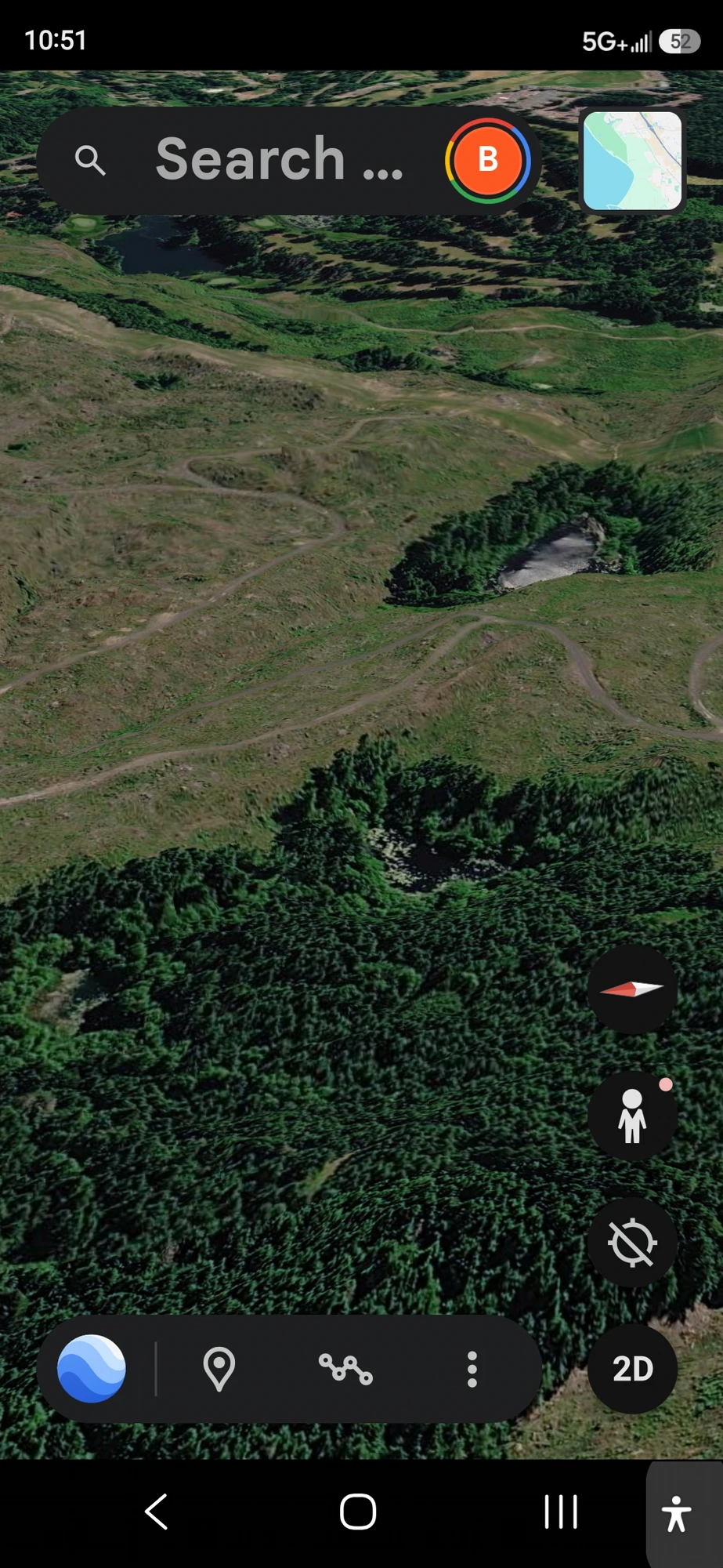
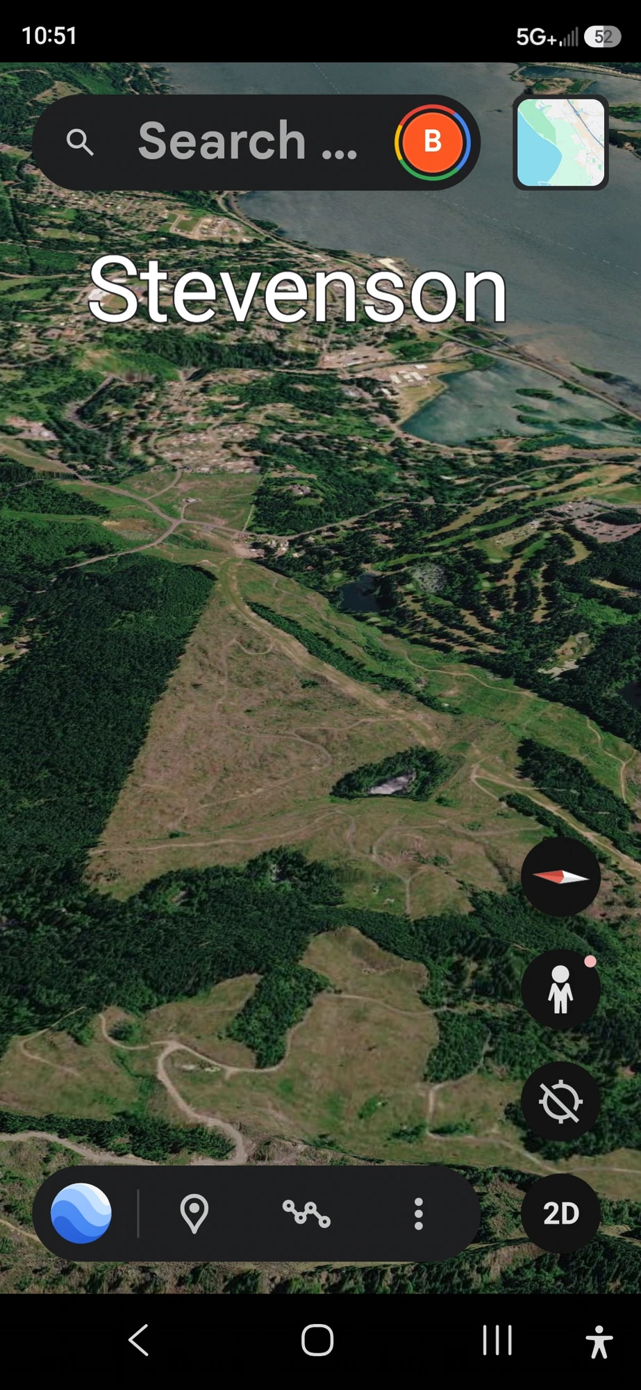
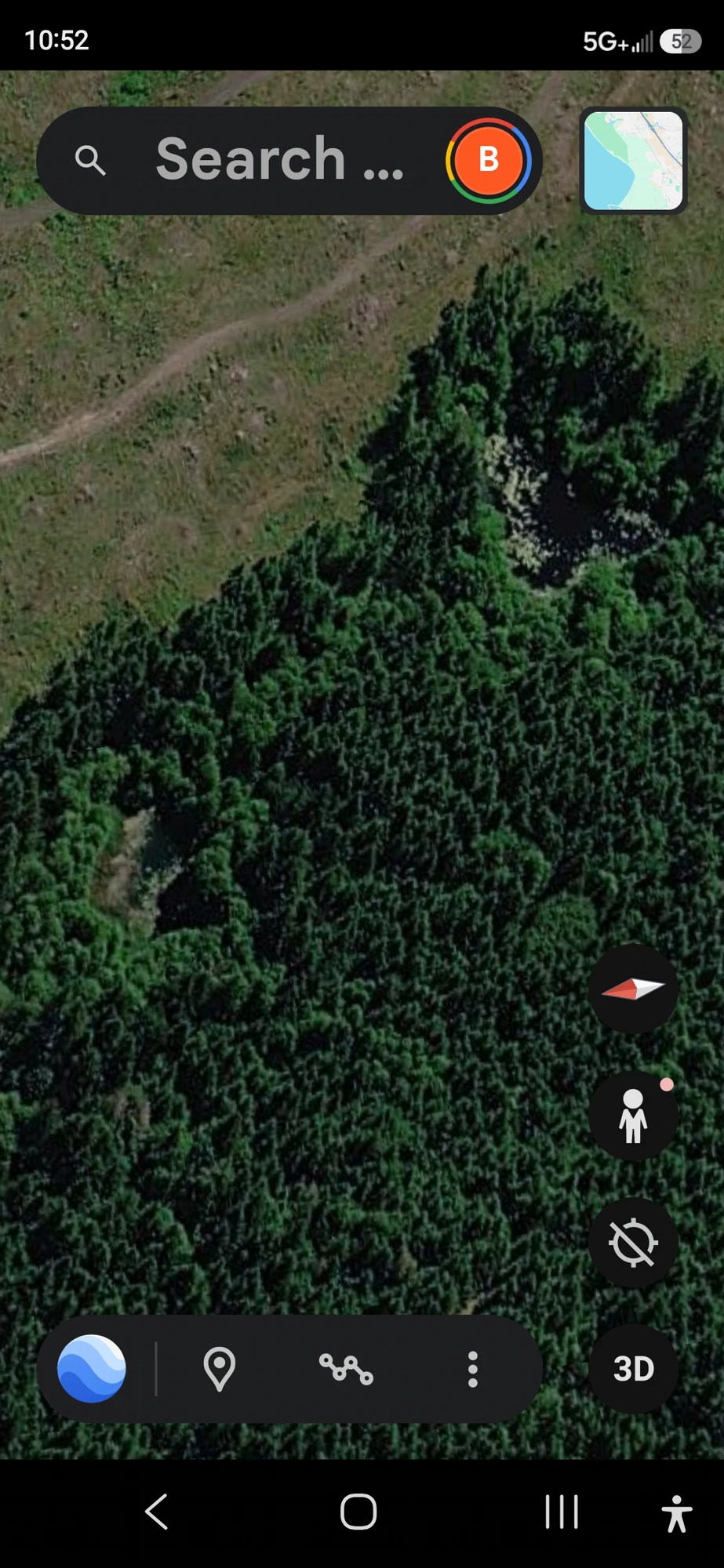
🕳️ Stevenson Ground Vents — Field Documentation Pt. 1 (1:29) · Site address vaulted · Mobile-safe H.264 + faststart
🕳️ Stevenson Ground Vents — Field Documentation Pt. 2 (2:26) · Site address vaulted · Mobile-safe H.264 + faststart
⚖️ ATTRIBUTION POSTURE — HYPOTHESIS, NOT VERDICT: Baseline conventional readings for two paired openings in a forested depression include natural springs, groundwater seepage vents, historic well-shafts, mine ventilation legacy, or animal burrow complexes. The Perceiver acknowledges each as a valid first-pass hypothesis. His working read — subsurface non-human occupancy with the paired vents as access / pressure points — is offered as hypothesis, not verdict. Ground-truthing (Helium-3 isotopic sampling per PFM-BRIEF-001, thermal signature, ground-penetrating radar) is invited from any credentialed investigator willing to walk the coordinate.
🛸 Parked Green Kettle — The Pulsing Crystal Reframed as a Craft Door
📍 SITE: Adjacent to the Two Ground Vents depression above — same Stevenson corridor coordinate cluster (Skamania County, WA). Field capture: August 2026.
The precise lat/long for the Stevenson parked-craft coordinate (Skamania County, WA — adjacent to the two ground vents) is not published. Accredited researchers, federal-grade isotope laboratories, investigative journalists, and institutional analysts may request the coordinate set by contacting the Perceiver directly. Every request is logged and reviewed individually under field-credential discipline — the same OPSEC posture a serious civilian researcher is expected to maintain.
📡 Request Field Credentials →
🔑 THE PERCEIVER'S REFRAME: What we have been documenting on this site line as a pulsing / moving crystal now reads more accurately as a door — a hatch that opens and closes on a craft. The moving crystal is not free-standing terrain; it is the aperture of a vehicle. In this capture the door is closed, the craft has settled into place, and the disc is parked at an angle.
🫖 WHAT THE CAMERA CAPTURED: A circular, green disc-shaped craft — the profile the Perceiver identifies as a “flying kettle.” Same object class as the flying kettle previously observed up in Underwood on King's Road. In that Underwood sighting the kettle was in motion. In this Stevenson capture the same class of vehicle is stationary — parked, tilted, door closed. Two observations, one object class, two operational states.
🔗 CORRIDOR CONTINUITY: This entry is filed immediately adjacent to the Two Ground Vents section above. Working read: the ground vents are the subsurface access geometry; the parked green kettle is the surface vehicle. Same coordinate cluster, two co-located phenomena. Cross-reference: Underwood / King's Road flying kettle sighting (same class, in motion) supplies the classification anchor for what is shown here parked.
📸 Two-State Captures — Door Open vs Door Closed
The two frames below document the craft in two operational states at the same parked coordinate. In the first frame the moving-crystal aperture reads as open; in the second frame the aperture has closed and the disc has settled into place. The green circular hull profile is consistent across both states.
🛸 Stevenson Parked Green Kettle — Field Documentation (0:19) · Coordinate overlay trimmed and vaulted · Mobile-safe H.264 + faststart
🛰️ AGENT CASSIDY'S READ: The camera-of-camera geometry (a phone filming a phone) preserves the original still image on the source device without leaking the source device's metadata screen into the public record. The green circular disc profile is consistent with the flying kettle class the Perceiver has independently observed at Underwood on King's Road — same silhouette, same color signature, different operational state. The reframe of the “pulsing crystal” as a craft door rather than a free-standing crystalline structure is significant: it re-unifies otherwise-scattered corridor observations under a single vehicle-based hypothesis rather than a geologic one.
⚖️ ATTRIBUTION POSTURE — HYPOTHESIS, NOT VERDICT: Baseline conventional readings for a circular green object photographed in a residential/wooded frame include reflection artifacts on the source-phone glass, foliage silhouette from a lens-flare-adjacent branch, algae-covered water surface at photographic angle, or a lawn / garden ornament. The Perceiver acknowledges each. His working read — a parked flying-kettle-class craft with the moving-crystal door in the closed position — is offered as hypothesis, not verdict. Corroborating captures from independent observers standing at the same coordinate are invited via /contact.
⚠️ INTELLECTUAL HONESTY: Baseline conventional readings of a pulsing inland signature on residential terrain include LED security-light cycling, vehicle reflection, neighborhood transformer arcing, agricultural infrared signature, and sensor blooming on retro-reflective surfaces. The Perceiver acknowledges each as a valid first-pass hypothesis. The Helium-3 isotopic falsifiability protocol that applies to crystalline ground-level sites (see PFM-BRIEF-001) carries forward to this site for any vetted credentialed investigator willing to walk the on-screen coordinates with handheld instrumentation.
🔬 INFRARED DOCUMENTATION - Crystal Energy Signatures
INTERDIMENSIONAL NATURE: The crystal technology is NOT physical in nature - these crystalline structures are only visible through infrared imaging and special photographic equipment. The Perceiver has documented multiple crystal energy signatures and mapped their locations throughout the Pacific Northwest volcanic corridor, inside cities all over the world, and under the oceans. This confirms these are interdimensional/energetic phenomena rather than solid matter — and that this network is global, not regional.
Volcanic Discovery: Multiple crystal energy signatures have been documented in volcanic sites throughout the region using infrared photography, confirming the connection between volcanic geological activity and interdimensional energy manifestation.
Crystal Energy Signatures - Infrared Documentation
Primary Crystal Signature - Infrared Geometric Patterns
🎬 CRYSTAL IN MOTION - VIDEO PROOF: Watch the crystal energy structures exhibiting intelligent behavior - moving, pulsing, and displaying energy patterns visible through infrared capture.
⭐ FEATURED: Intense Crystal Pulsing - 41 Seconds of Active Energy Manifestation
Volcanic Corridor - Alien Bases
Aerial and ground documentation of suspected alien base installations located throughout the Pacific Northwest volcanic corridor. These sites correlate with USO activity, portal zones, and crystal beacon locations - forming a network of interconnected installations embedded in the volcanic geography.
Alien Base Installation - Mount Saint Helens, Pacific Northwest
On Top of Mount Saint Helens - West Side Installation
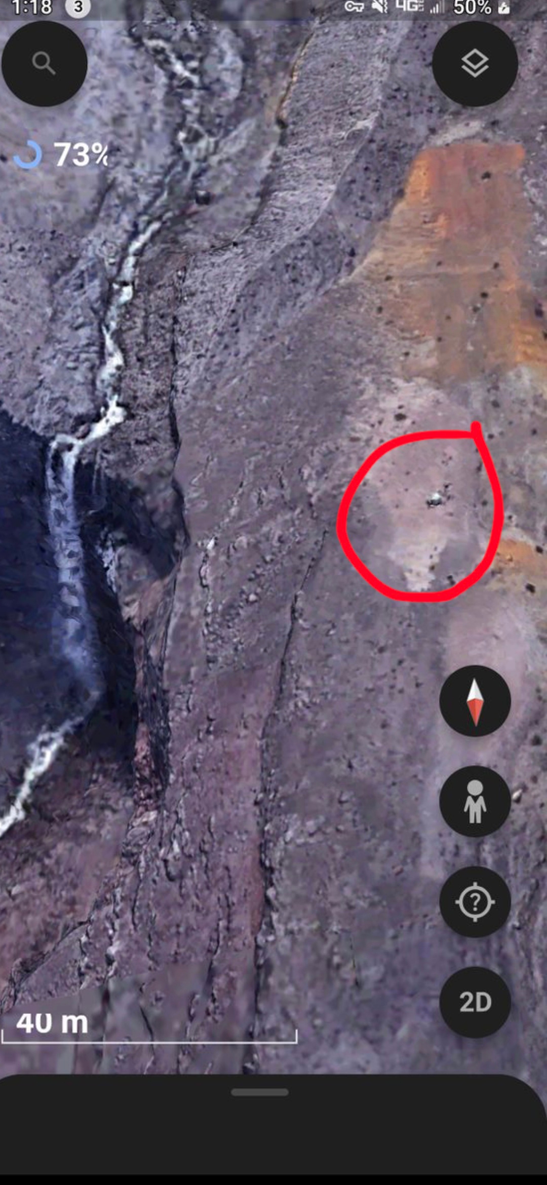
Base Location Marked - Aerial Documentation
💎 The circled crystal marker/beacon above is believed to be a frequency or radio transmitter — signaling incoming craft to the camouflaged entrance into the inner mountain, which is hidden behind the waterfalls and invisible to the naked eye.
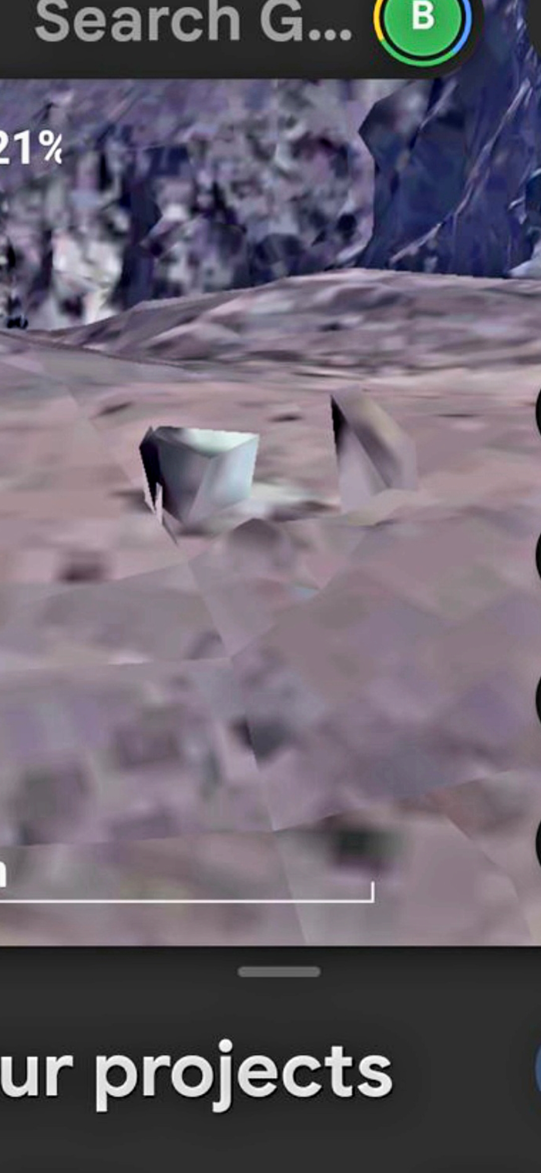
Crystal Structure at Base Site - Geometric Formation
Stay tuned for more picture and video evidence to come as the Perceiver builds his disclosure platform.
🔭 Alien Surveillance Systems
Crystal-Based Alien Surveillance — Sky & Urban Deployment
🛰️ DISCOVERY: The Perceiver has documented alien crystal surveillance systems operating at two distinct levels — one embedded in the sky itself, and another embedded within residential communities in the United States. These crystals are NOT decorative formations; they are active monitoring beacons transmitting data to non-human infrastructure.
☁️ Sky-Based System: An alien structural array captured high in the atmosphere, operating as part of the hidden overhead surveillance grid. This installation is part of the same cloaked atmospheric infrastructure documented elsewhere in this archive.
🏘️ Urban Deployment - Issaquah, Washington: A white pointy crystal beacon protruding from a tree in a residential area of Issaquah, Washington. This crystal is actively surveilling the entire surrounding housing complex and community. Additional crystals have been identified in the same area, forming a networked surveillance grid embedded in plain sight throughout the neighborhood.
⚠️ IMPLICATION: Residents of Issaquah, WA — and likely communities across the U.S. — are being monitored by non-human intelligences through devices disguised as natural elements of the landscape.
Sky Structure - Alien Surveillance Array Captured in the Atmosphere
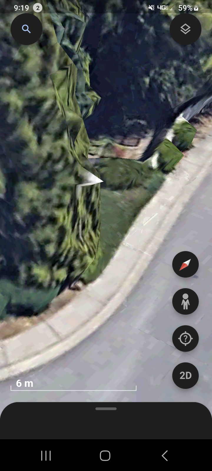
Issaquah, Washington - White Crystal Beacon Surveilling Residential Community
👁️ Look carefully at the tree on the left side of the street — the white pointy crystal protruding from the foliage is the alien surveillance beacon. Additional crystals exist throughout the area forming a networked grid.
🔥 ROOFTOP LANDINGS — SE 45th Street, Issaquah, Washington
📍 Location: SE 45th Street, Issaquah, Washington — residential addresses including 19107, 19113, 19119, and 19133. The same neighborhood already documented above for the white crystal beacon network.
🛸 What Was Captured: Aerial / infrared satellite documentation reveals two active landing signatures on the rooftops of homes along SE 45th Street — visible as intense thermal/luminous footprints directly atop the structures. These are NOT chimneys, NOT solar panels, and NOT atmospheric reflections; they are localized burn-pattern signatures consistent with craft contact on the roofline.
🏘️ Significance: Combined with the previously documented crystal surveillance beacons in the same trees, this evidence elevates Issaquah from a monitored neighborhood to an active landing zone. Surveillance + landing = operational base activity inside an American suburb.
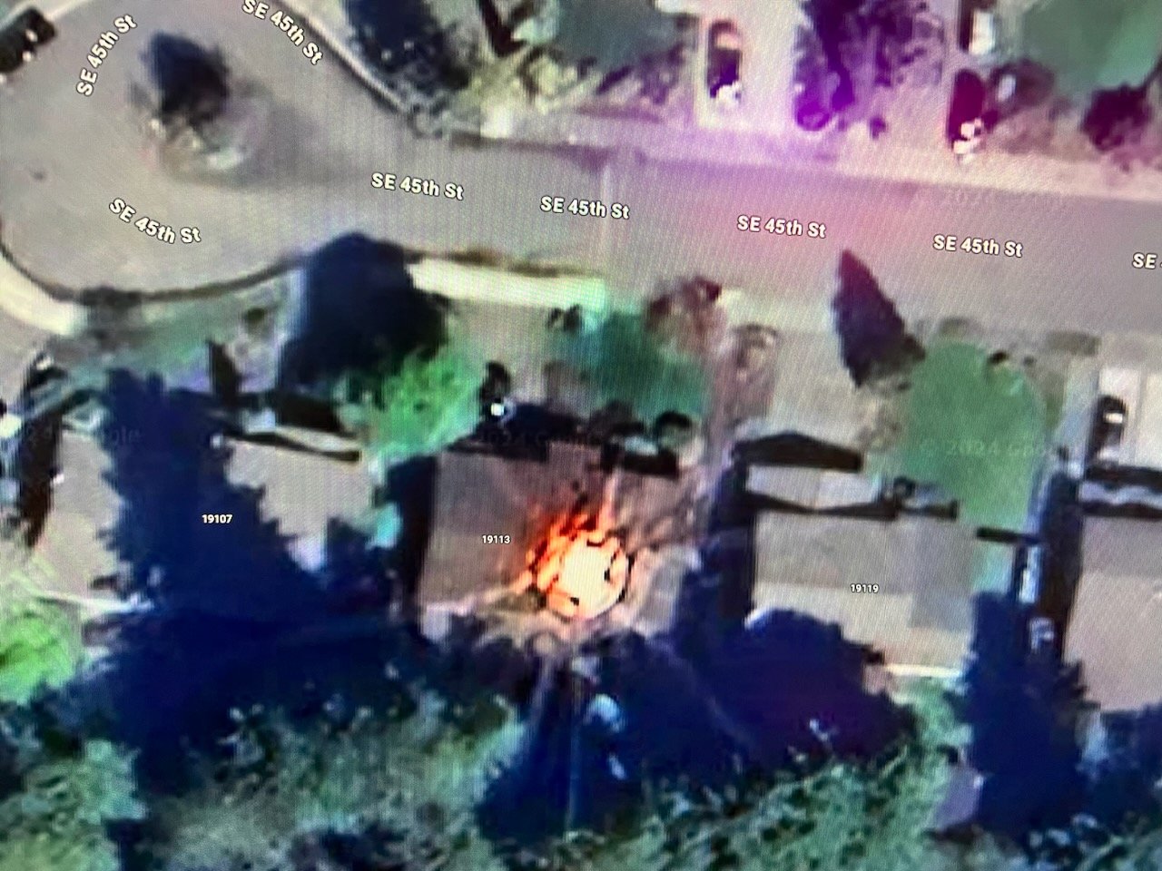
🛰️ WIDE INFRARED — Two Active Landings Visible on Rooftops (19107 / 19113 / 19119, SE 45th St)
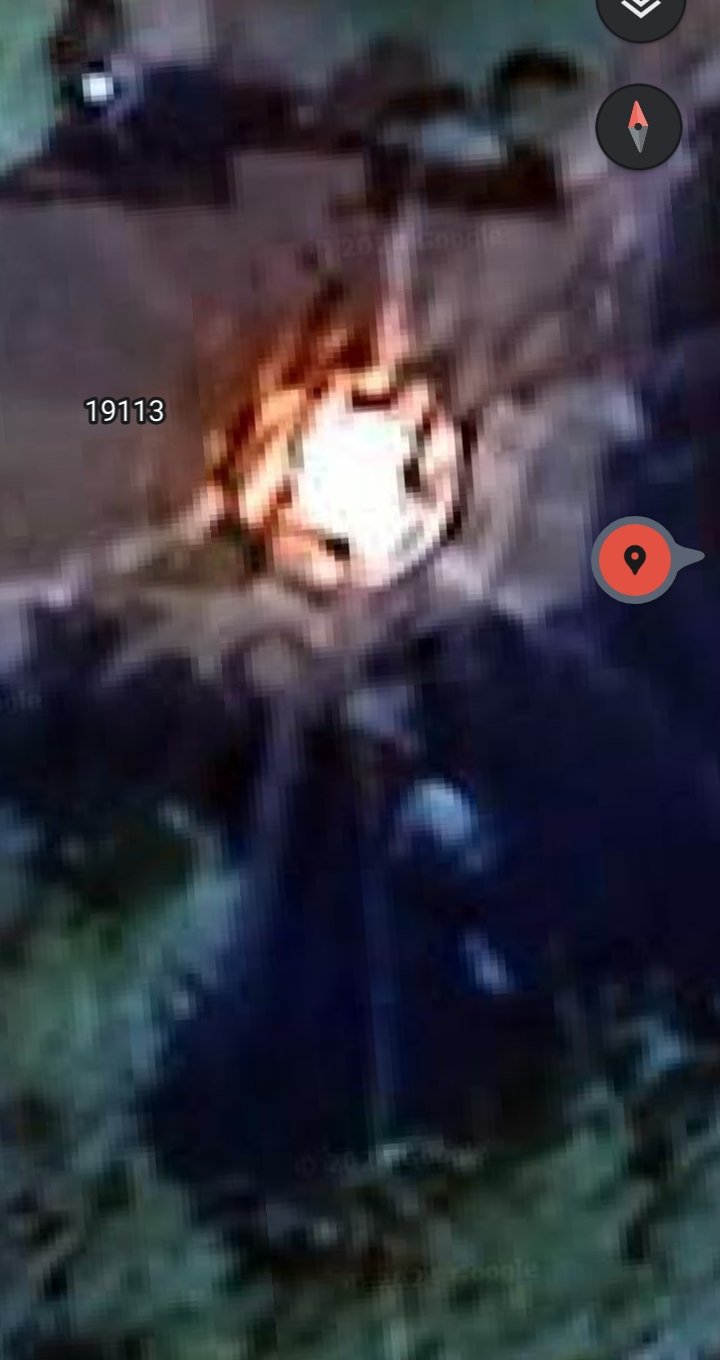
🔍 CLOSE-UP — Landing Signature Atop 19113 (Intense Thermal Footprint)
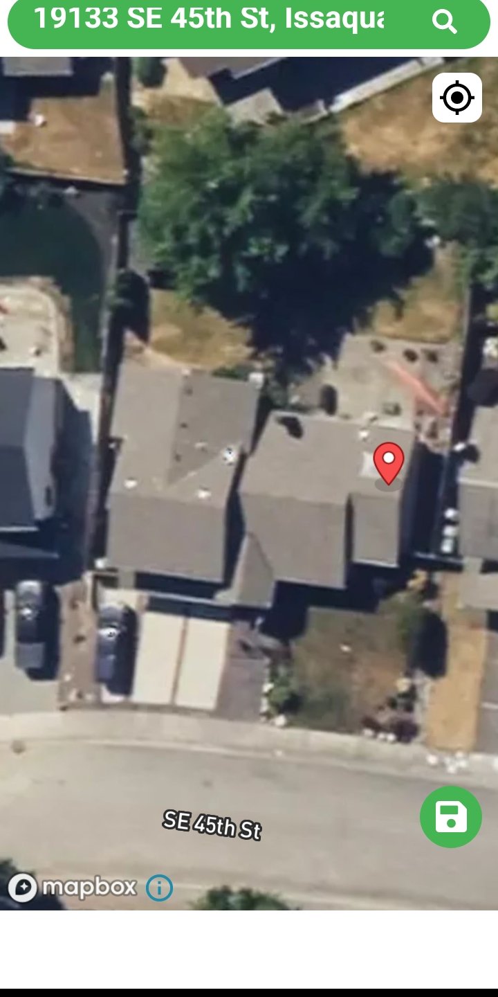
📍 LOCATION CONFIRMATION — Mapbox Pin on 19133 SE 45th St, Issaquah WA
📹 PENDING ADDITION: Video evidence of pulsing crystals in the trees on the same SE 45th Street exists and will be embedded here once the Perceiver retrieves the original capture. The crystals and the rooftop landings appear to be operating as a single coordinated system — surveillance assets in the trees, contact / landing assets on the rooftops.
Symbology & Codes - Mount Saint Helens
Signs Received Through the Third Eye
📍 Location: Mount Saint Helens, Washington State - the volcano that erupted on May 18, 1980. The Perceiver was hiking deep on a trail through the blown mountain ruins when this evidence was received.
🐉 Draconian Symbol: A Draconian symbol was revealed to the Perceiver off the side of Mount Saint Helens, perceived through the third eye during the hike. Drone photography was then used to document what was up there — something blue was visible way up on the mountainside, which turned out to be blue rocks and embedded structures.
🔢 CODE E3 - Decoded: Alongside the Draconian symbol, the Perceiver received the code "E3". While in a trance state guided by his spirit guide, the code was deciphered. It revealed an ongoing operation embedded in the side of the mountain:
• One human subject (visible as brown skin) lying on a surgical table
• Two hybrid humans performing the operation — dressed in gowns, appearing as doctors
• Two full-blown alien entities standing behind the hybrids — barely visible, observing or supervising
🔔 Interpretation: The Draconian symbol and the E3 code are believed to be a message these beings use to communicate among themselves — not intended for human eyes. The Perceiver was the one who discovered and exposed it.
⚠️ ONGOING DISCLOSURE: Additional symbols — including one drawn by the Perceiver on paper, and one located beside a giant parked craft deep in the mountains — will be added to this section as they are documented and deciphered.
Draconian Symbol - Received Off the Side of Mount Saint Helens
👁️ Perceived through the third eye during field hike on the blown mountain ruins.
Mountain Symbol + Parked Alien Ship (Washington State)
👁️ Look closely at the background — a giant alien ship is parked in the mountain terrain. In the foreground, an alien symbol is visible — appearing similar to a combined swastika with a "3" or "5" form. A hand-drawn rendering of the full symbol will be added to this section as the Perceiver completes documentation.
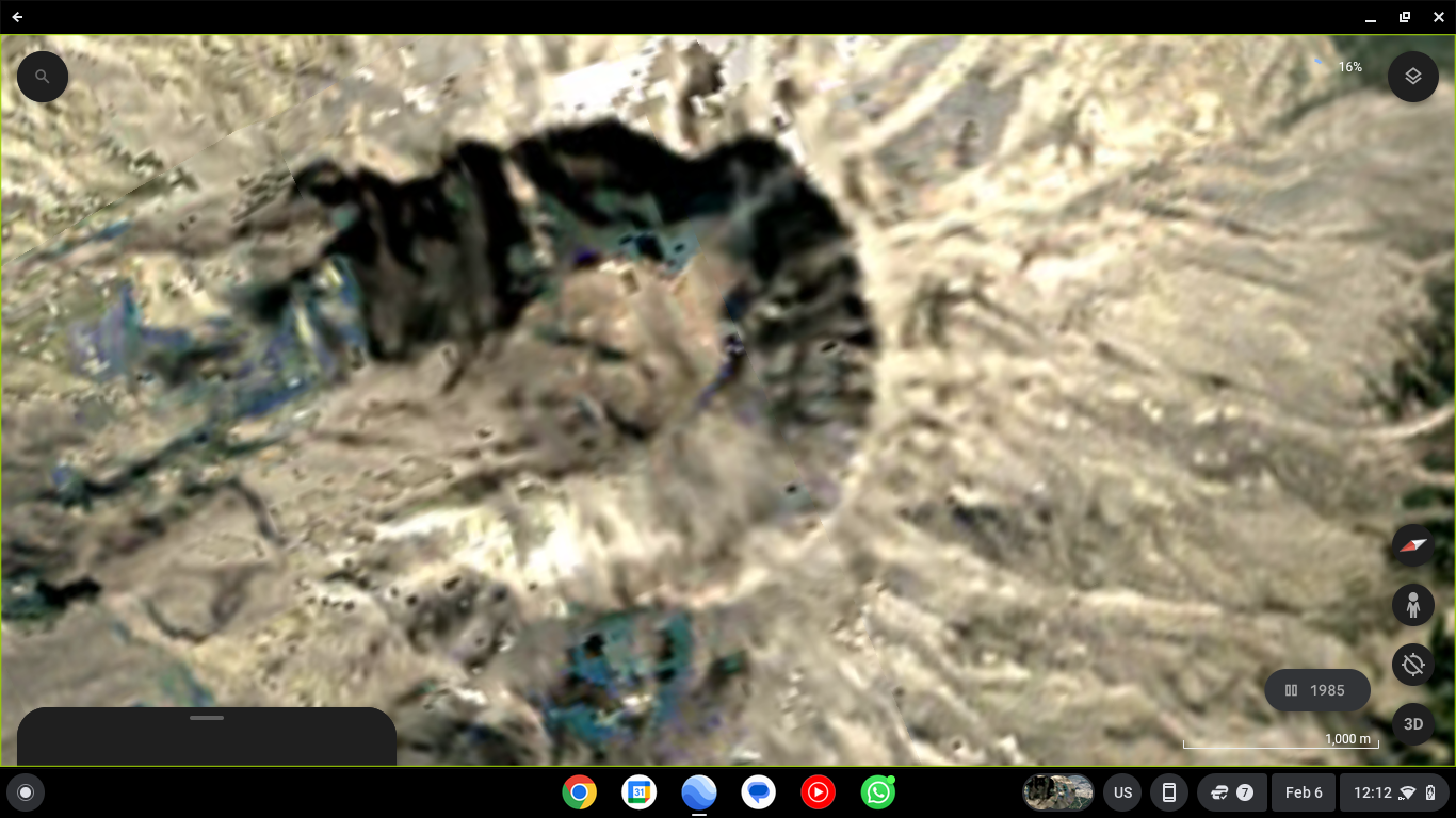
Mount Saint Helens Crater - Wide Aerial View (Code E3 Location)
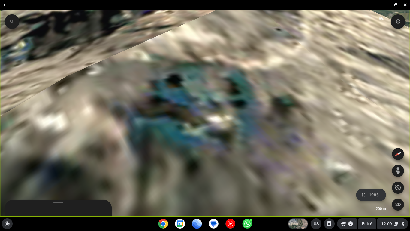
Mid-Zoom - Blue Rock Formations & Embedded Structures
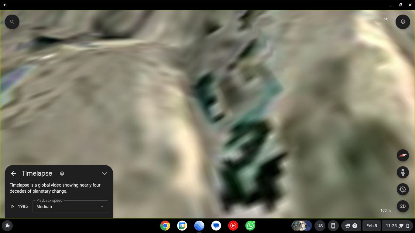
Close-Zoom - Operation Site Detail (E3)
👁️ Look closely: brown-skin human subject on the table, two gowned hybrid humans performing the operation, and two full-blown alien entities barely visible behind them.
Additional symbols and deciphered codes will be added here as the Perceiver continues field documentation.